Beckington
Settlement in Somerset Mendip
England
Beckington
Beckington is a picturesque village located in the county of Somerset, England. Situated approximately 10 miles south of Bath, it is nestled in the beautiful countryside of the Mendip Hills. With a population of around 1,800 residents, it exudes a charming and welcoming atmosphere.
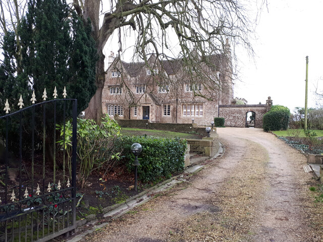
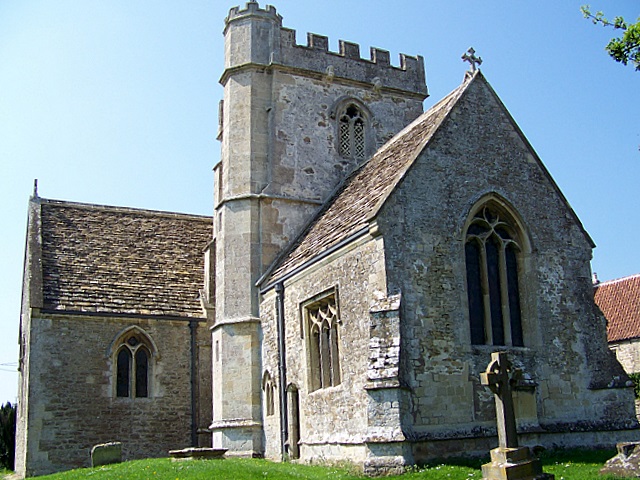
The village is known for its rich history and has been inhabited for centuries. It features a number of historical landmarks, including the 14th-century Church of St. George, which is renowned for its stunning architecture and intricate stained glass windows. Other notable buildings include the Grade II listed Beckington Castle and the Beckington Farmhouse, both of which provide a glimpse into the village's past.
Beckington offers a range of amenities to cater to the needs of its residents and visitors. The village boasts a well-stocked local shop, a post office, and a primary school, ensuring convenience for those who call it home. There are also several charming pubs and cafes where locals and tourists can relax and enjoy a meal or a drink.
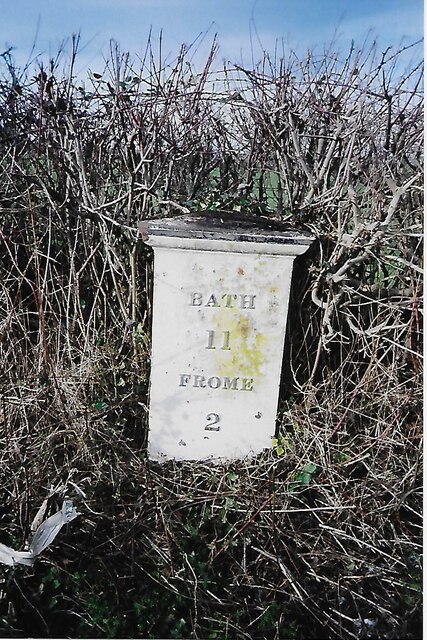
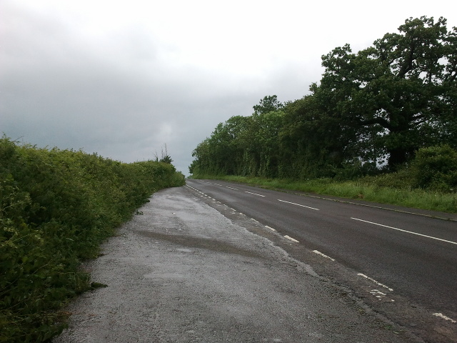
The surrounding countryside provides ample opportunities for outdoor enthusiasts. The Mendip Hills Area of Outstanding Natural Beauty offers scenic walks, cycling routes, and horse riding trails, allowing visitors to immerse themselves in the stunning landscapes. Moreover, the nearby Frome River provides a tranquil setting for fishing and boating activities.
Overall, Beckington is a delightful village that seamlessly combines its historical charm with modern amenities. Its idyllic location and rich heritage make it a popular destination for those seeking a peaceful retreat or a taste of rural English life.
If you have any feedback on the listing, please let us know in the comments section below.
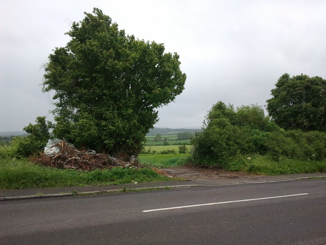
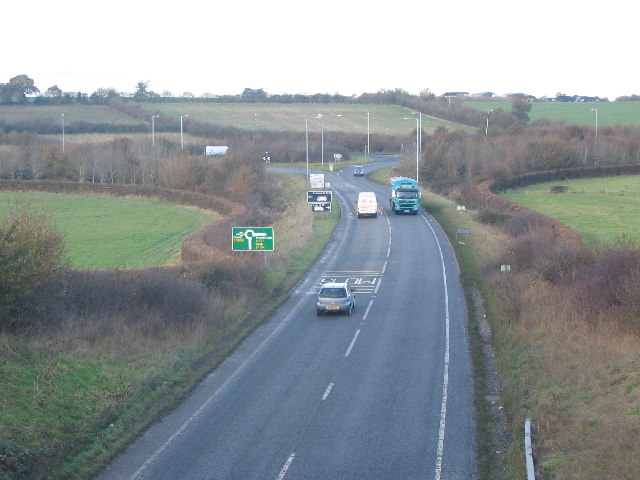
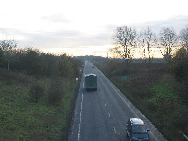
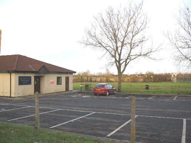
Beckington Images
Images are sourced within 2km of 51.265138/-2.287086 or Grid Reference ST8051. Thanks to Geograph Open Source API. All images are credited.


Beckington is located at Grid Ref: ST8051 (Lat: 51.265138, Lng: -2.287086)
Administrative County: Somerset
District: Mendip
Police Authority: Avon and Somerset
What 3 Words
///creamed.newsreel.salad. Near Rode, Somerset
Nearby Locations
Related Wikis
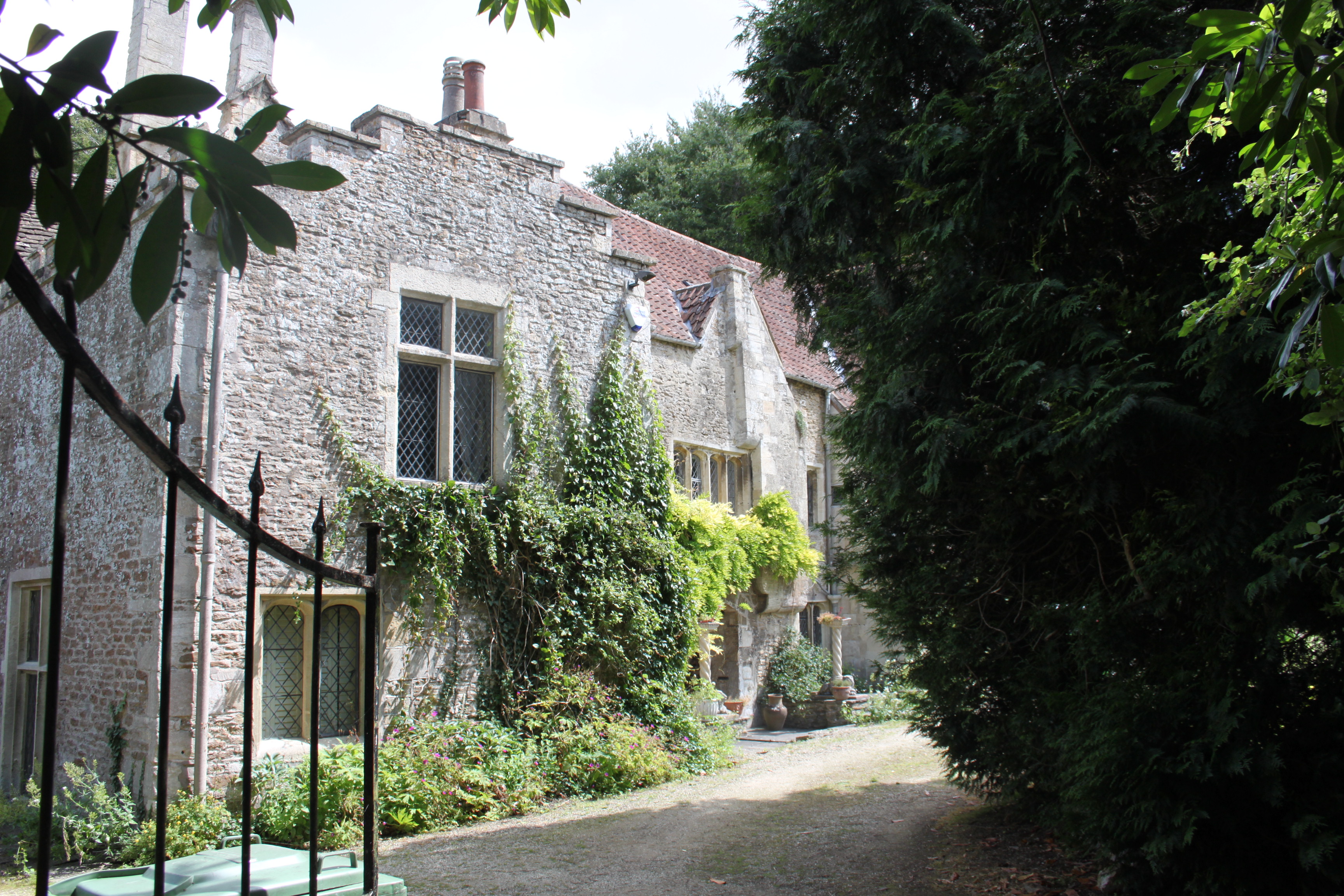
The Abbey, Beckington
The Abbey, Beckington in Beckington, Somerset, England is a historic building that was founded as a monastic grange and also used as a college for priests...

Beckington
Beckington is a village and civil parish in Somerset, England, across the River Frome from Lullington about three miles north of Frome. According to the...

The Wool Hall
The Wool Hall is a recording studio in the village of Beckington, near Frome, Somerset, England. It was originally a residential studio set up by Tears...

Beckington Castle
Beckington Castle is a historic house in the village of Beckington, Somerset, England. It is a Grade II* listed building.It was built in the early 17th...

Seymours Court Farmhouse, Beckington
Seymours Court Farmhouse in Beckington, Somerset, England, dates from the 15th century and is a Grade I listed building.It was the home of Thomas Seymour...
Lullington, Somerset
Lullington is a village and civil parish just across the Mells River from Beckington and 2.5 miles (4.0 km) north east of Frome, in the Mendip district...

Rode, Somerset
Rode (formerly Road) is a village and civil parish in the ceremonial county of Somerset in England, 5 miles (8.0 km) north-east of Frome and 5 miles (8...
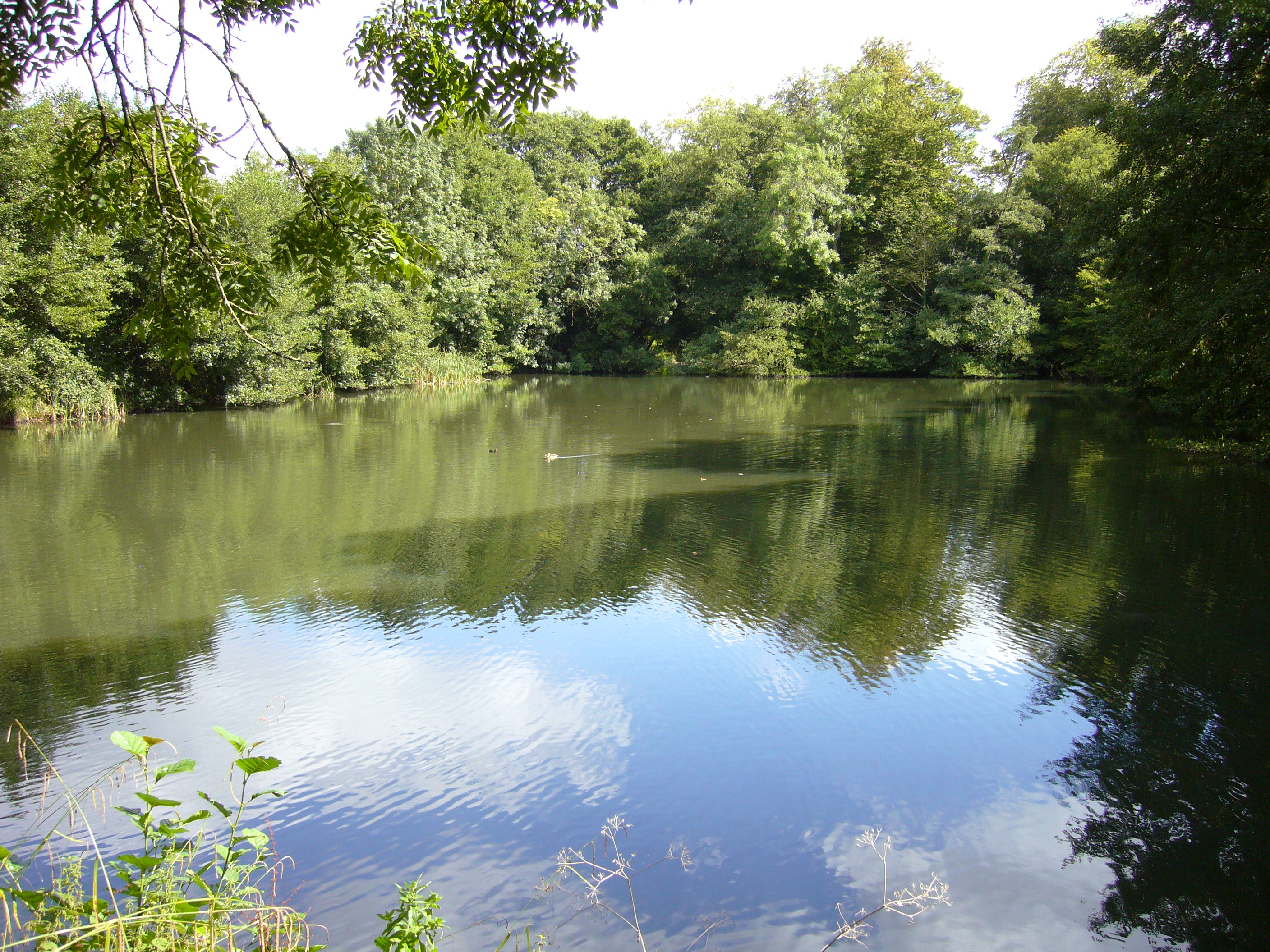
Orchardleigh Lake
Orchardleigh Lake (also spelt Orchardlea) (grid reference ST779508) is an 11.23-hectare artificial lake in the grounds of the Orchardleigh Estate, just...
Nearby Amenities
Located within 500m of 51.265138,-2.287086Have you been to Beckington?
Leave your review of Beckington below (or comments, questions and feedback).