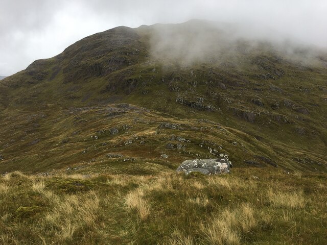
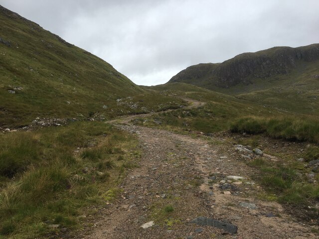
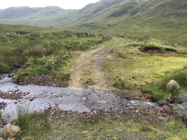
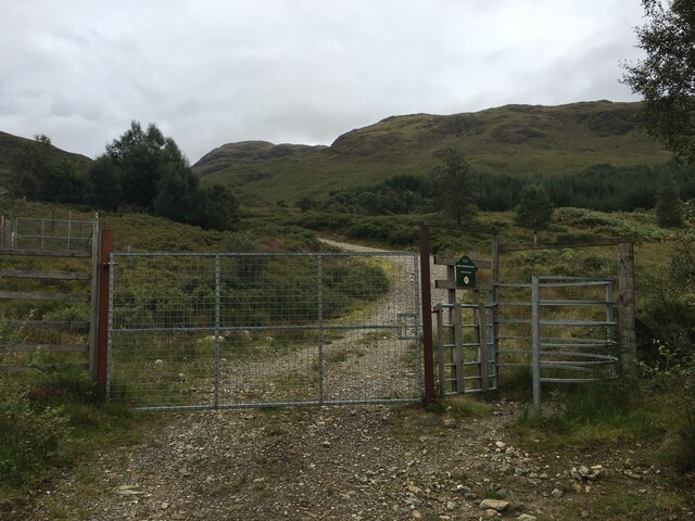
Coire Garbh
Corrie (Glacial Valley) in Argyllshire
Scotland
Coire Garbh
The requested URL returned error: 429 Too Many Requests
If you have any feedback on the listing, please let us know in the comments section below.
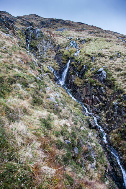
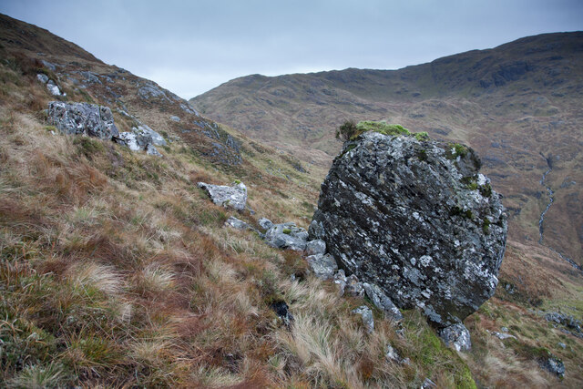
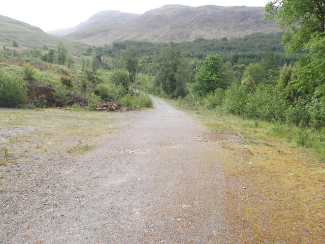
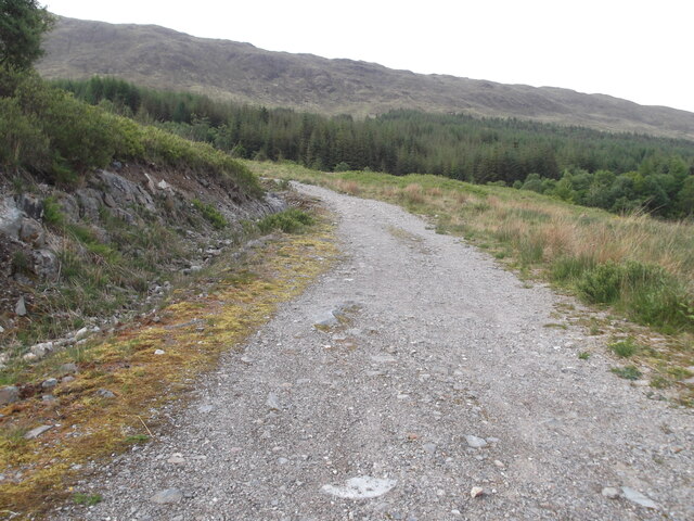
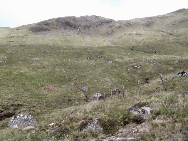
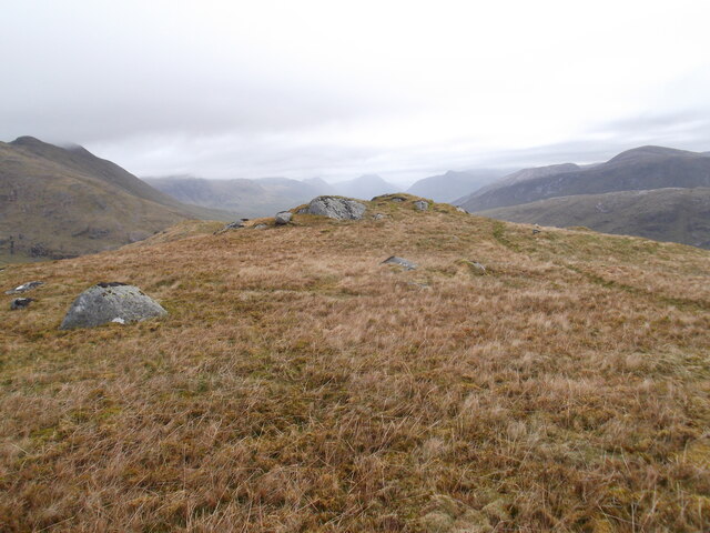
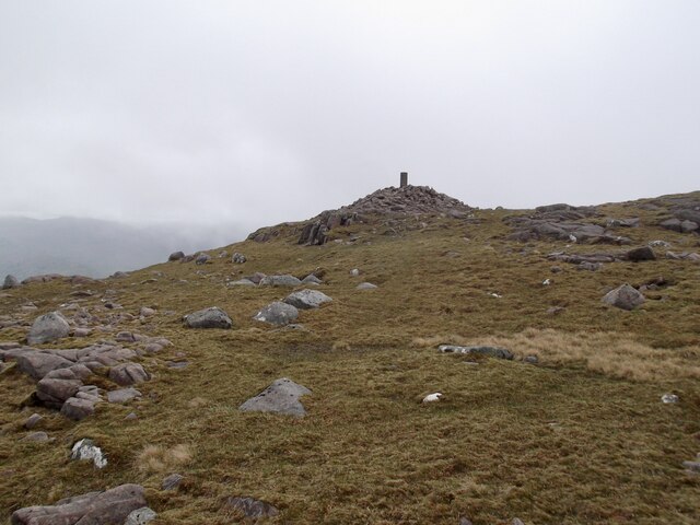
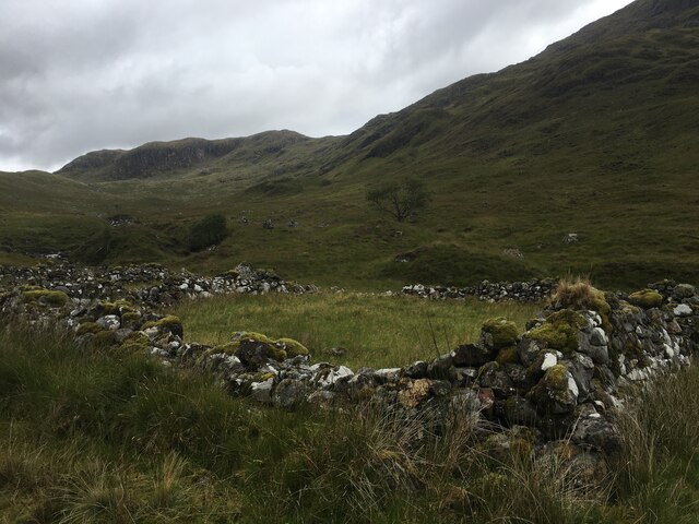
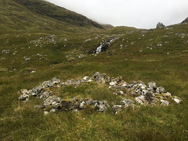
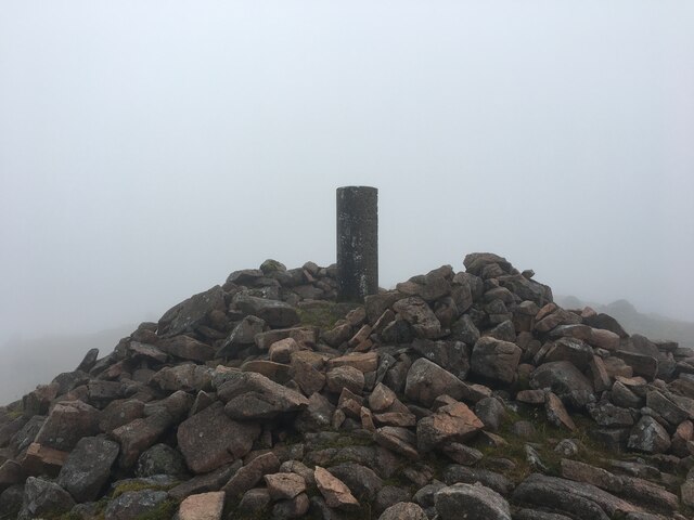
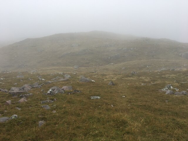
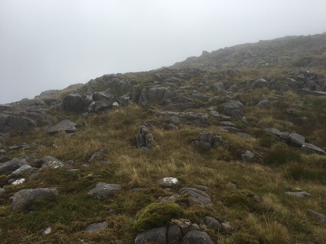
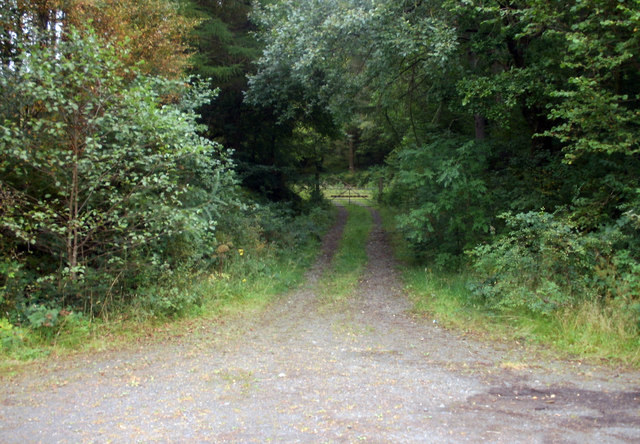
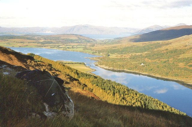
Coire Garbh Images
Images are sourced within 2km of 56.538053/-5.2240237 or Grid Reference NN0143. Thanks to Geograph Open Source API. All images are credited.
Coire Garbh is located at Grid Ref: NN0143 (Lat: 56.538053, Lng: -5.2240237)
Unitary Authority: Argyll and Bute
Police Authority: Argyll and West Dunbartonshire
What 3 Words
///bagpipes.unusually.patio. Near Glencoe, Highland
Nearby Locations
Related Wikis

Creach Bheinn (Loch Creran)
Creach Bheinn (810 m) is a mountain in the Grampian Mountains of Scotland. It rises above the head Loch Creran in Argyll. A large and sprawling peak, a...

Glasdrum Wood
Glasdrum Wood (Scottish Gaelic: Coille a’ Ghlasdroma) is national nature reserve (NNR) at the head of Loch Creran in Argyll and Bute on the west coast...

Gleann Dubh
The reservoir (the "Black Glen") is an impounding reservoir located 9 kilometres north east of the Connel Bridge in Barcaldine Forest. The earthen dam...

Creagan Bridge
Creagan Bridge is a bridge that crosses Loch Creran at Creagan in Scotland. It is a road bridge that uses the supporting columns of a former railway viaduct...
Have you been to Coire Garbh?
Leave your review of Coire Garbh below (or comments, questions and feedback).