Coire Leacach

Corrie (Glacial Valley) in Inverness-shire

Scotland

Coire Leacach

Summit cairn on Gulvain
Summit cairn on Gulvain Credit: Steven Brown

The requested URL returned error: 429 Too Many Requests

If you have any feedback on the listing, please let us know in the comments section below.

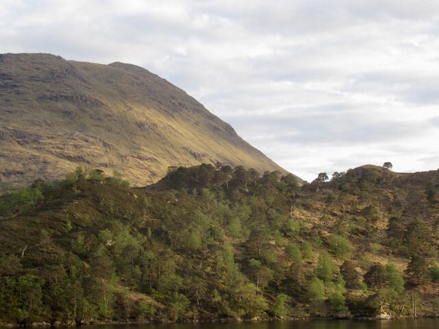
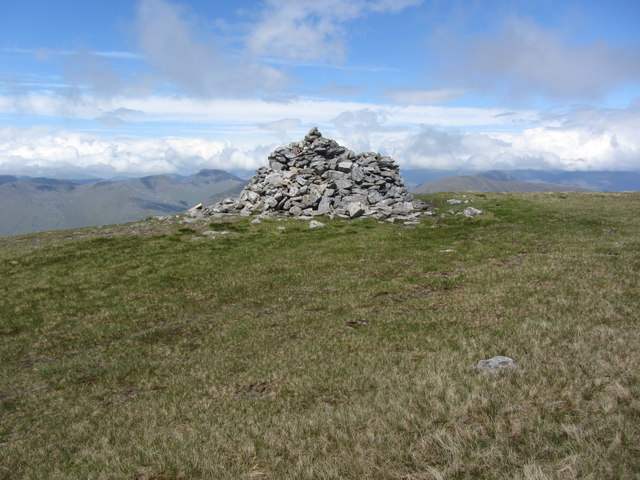
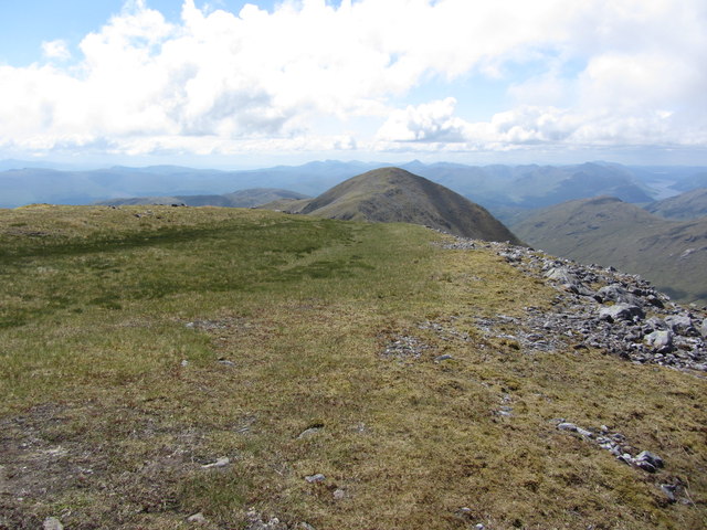
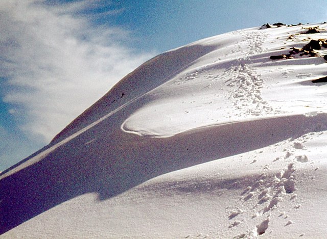
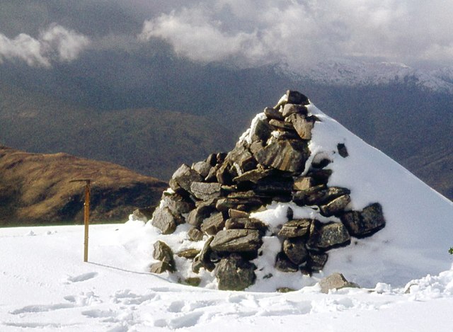
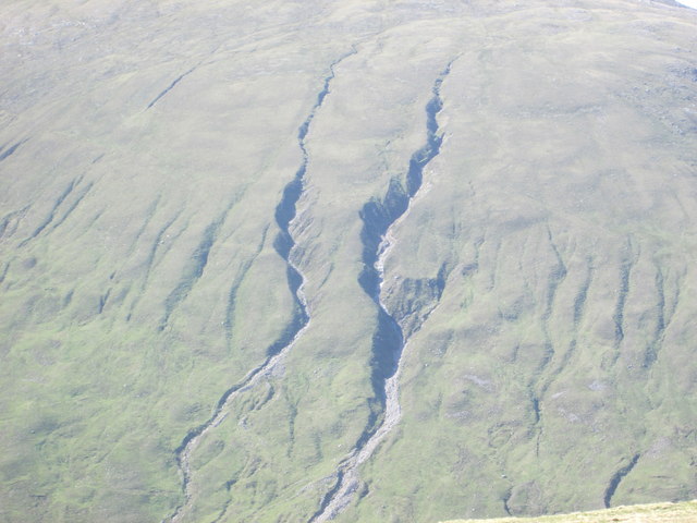
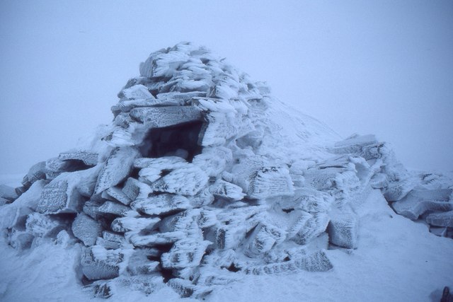
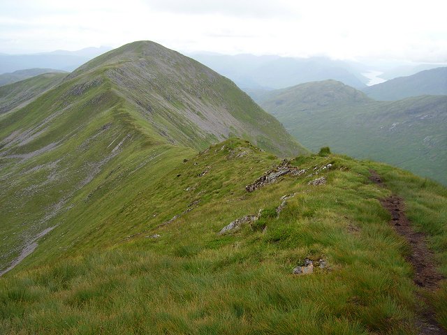
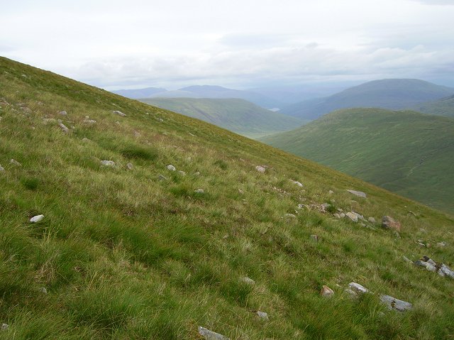
Coire Leacach Images

Images are sourced within 2km of 56.938173/-5.2597685 or Grid Reference NN0187. Thanks to Geograph Open Source API. All images are credited.
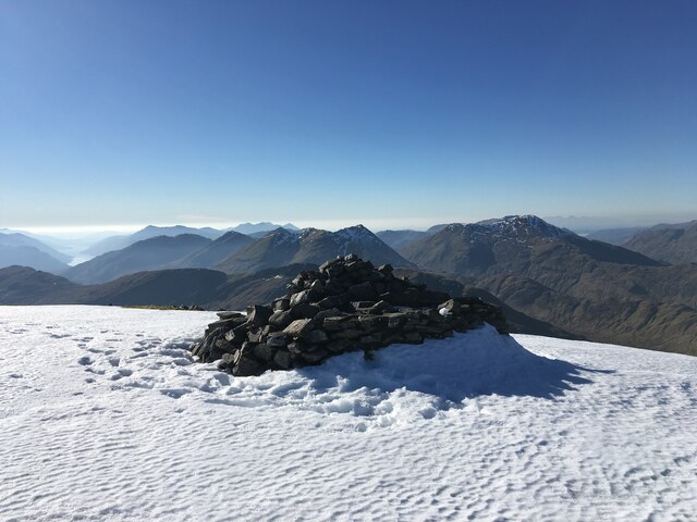
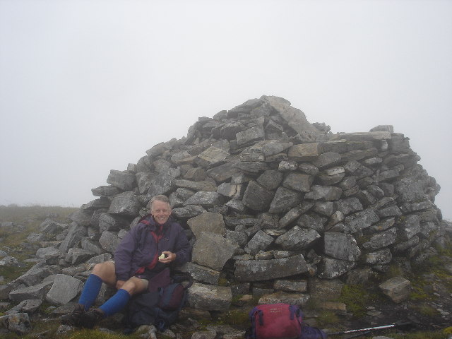
Summit cairn on Gulvain
Waterfall, Allt a' Choire Sgreamhach The rather inaccessible north side of Gaor Bheinn, above Gleann Camgharaidh.
Waterfall, Allt a' Choire Sgreamhach
The rather inaccessible north side of Gaor Bheinn, above Gleann Camgharaidh.
Gaor Bheinn The northwest side of the hill seen from across Loch Arkaig. Most ascents are made from the south due to the loch. The woodlands around Glen Camgharaidh can be seen in the foreground.
Gaor Bheinn
The northwest side of the hill seen from across Loch Arkaig. Most ascents are made from the south due to the loch. The woodlands around Glen Camgharaidh can be seen in the foreground.
On Gulvain (Main summit) - The cairn
On Gulvain (main summit) - View towards southern top
Gulvain [Gaor Bheinn] Cloudy on top, dry and warm.
Name: Gulvain [Gaor Bheinn]
Hill number: 773
Height: 987m / 3238ft
Area: 10D: Mallaig to Fort William
Class: Ma,M,Mur
Grid ref: NN 00271 87562
Summit feature: cairn
Drop: 842m
Col: 145m  NM889895
Gulvain [Gaor Bheinn]
Cloudy on top, dry and warm. Name: Gulvain [Gaor Bheinn] Hill number: 773 Height: 987m / 3238ft Area: 10D: Mallaig to Fort William Class: Ma,M,Mur Grid ref: NN 00271 87562 Summit feature: cairn Drop: 842m Col: 145m NM889895
On the northern side of Meall a' Phubuill Looking down into the very uppermost reaches of Glen Mallie. The burns draining Coire a' Chaorainn on the flanks of Gulvain are most prominent in the background; these actually fall into Glen Fionnlighe and eventually to Loch Eil in <a href="https://www.geograph.org.uk/gridref/NM9679">NM9679</a>
On the northern side of Meall a' Phubuill
Looking down into the very uppermost reaches of Glen Mallie. The burns draining Coire a' Chaorainn on the flanks of Gulvain are most prominent in the background; these actually fall into Glen Fionnlighe and eventually to Loch Eil in NM9679
Down into Glen Mallie From a position about 1700' up on Meall a' Phubuill, this looks down into upper Glen Mallie and the infant River Mallie.
Down into Glen Mallie
From a position about 1700' up on Meall a' Phubuill, this looks down into upper Glen Mallie and the infant River Mallie.
North top of Gulvain
Summit cairn, North top of Gulvain
Gulvain from Meall a’ Phubuill
Gulvain grooves Gullies on the side of Gulvain, one of the more remote Munros in Scotland.
Gulvain grooves
Gullies on the side of Gulvain, one of the more remote Munros in Scotland.
Frosted summit cairn, Gulvain The cairn well covered in rime on a November day.
Frosted summit cairn, Gulvain
The cairn well covered in rime on a November day.
A friend on summit of Gulvain Although mild, visibility was nil on this day; a pity as this is a great viewpoint
A friend on summit of Gulvain
Although mild, visibility was nil on this day; a pity as this is a great viewpoint
Gulvain/Gaor-bheinn The ridge looking along a narrow section from the higher north top. Loch Sheil in the distance.
Gulvain/Gaor-bheinn
The ridge looking along a narrow section from the higher north top. Loch Sheil in the distance.
East side of Gulvain Unlike most of the hill, a reasonably easy slope. Uniform grass. Glimpse of Loch Arkaig visible down Glen Mallie.
East side of Gulvain
Unlike most of the hill, a reasonably easy slope. Uniform grass. Glimpse of Loch Arkaig visible down Glen Mallie.
Ruighe nam Fiadh The slopes of Gulvain fall towards the indeterminate col between Glen Mallie and Gleann Fionnlighe. The obvious scar to the left is the Allt Ruighe nam Fiadh, which is a big headwater of the Mallie, although it appears possible that in some circumstances its water can escape the peaty maze down Glen Mallie. 
The scar to the right is a bulldozed road from Fassfearn and is an alternative route into Gulvain to Glen Fionnlighe.
Ruighe nam Fiadh
The slopes of Gulvain fall towards the indeterminate col between Glen Mallie and Gleann Fionnlighe. The obvious scar to the left is the Allt Ruighe nam Fiadh, which is a big headwater of the Mallie, although it appears possible that in some circumstances its water can escape the peaty maze down Glen Mallie. The scar to the right is a bulldozed road from Fassfearn and is an alternative route into Gulvain to Glen Fionnlighe.
Allt Coire a' Chaoruinn Drainage channels running off Gulvain.
Allt Coire a' Chaoruinn
Drainage channels running off Gulvain.
Show me another place!

Coire Leacach is located at Grid Ref: NN0187 (Lat: 56.938173, Lng: -5.2597685)

Unitary Authority: Highland

Police Authority: Highlands and Islands

What 3 Words

///wiped.survivor.lunching. Near Gairlochy, Highland

Nearby Locations

Coire Leacach

Related Wikis

Gaor Bheinn

Gaor Bheinn, also known in English as Gulvain (Scottish Gaelic: Gadhail Bheinn), is a mountain in the Northwest Highlands of Scotland. It is in Lochaber...

Meall a' Phubuill

Meall a' Phubuill (774 m) is a peak in the Northwest Highlands, Scotland, northwest of Fort William in Lochaber. A rounded and grassy hill, it stands at...

Bràigh nan Uamhachan

Braigh nan Uamhachan (765 m) is a mountain in the Northwest Highlands of Scotland. It is located north of Glenfinnan in Lochaber. Taking the form of a...

Murlagan

Murlagan is a small hamlet located on the north shore of Loch Arkaig in Inverness-shire, Scottish Highlands and is in the Scottish council area of Highland...

Have you been to Coire Leacach?

Leave your review of Coire Leacach below (or comments, questions and feedback).