Lower Town
Settlement in Worcestershire Wychavon
England
Lower Town

Lower Town is a small village located in the county of Worcestershire, England. Situated in the picturesque countryside, it is nestled between rolling hills and lush green fields. The village is part of the larger parish of Worcestershire and falls under the jurisdiction of the local government district of Malvern Hills.
Lower Town is characterized by its charming and quaint atmosphere, with a population of around 500 residents. The village is primarily residential, with a few small businesses and amenities serving the local community. The architecture of the houses in Lower Town reflects its historical roots, with many traditional cottages and farmhouses still standing.
The village benefits from its proximity to the nearby town of Malvern, which provides additional services and amenities for residents. The surrounding natural beauty is a major draw for tourists and outdoor enthusiasts, with several walking and cycling trails in the area. The Malvern Hills, an Area of Outstanding Natural Beauty, is a short distance away and offers stunning panoramic views of the countryside.
Lower Town enjoys a close-knit community spirit, with several community events and activities organized throughout the year. The village has a local pub, where residents can gather and socialize, and a primary school that serves the educational needs of the children in the area.
Overall, Lower Town offers a tranquil and idyllic lifestyle, with its beautiful surroundings and strong community ties. It is a place where residents can enjoy the beauty of the Worcestershire countryside while still having access to essential amenities and services.
If you have any feedback on the listing, please let us know in the comments section below.
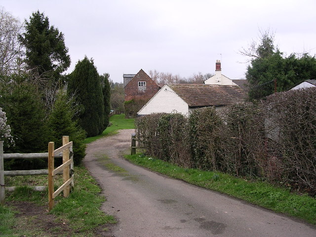
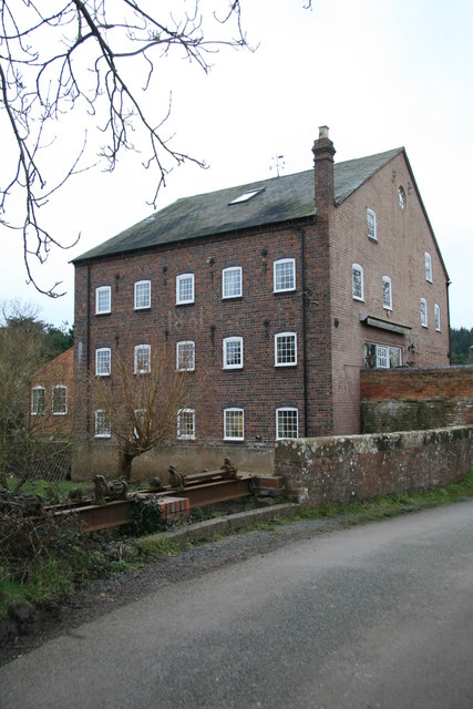
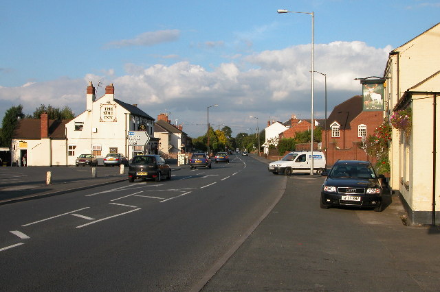
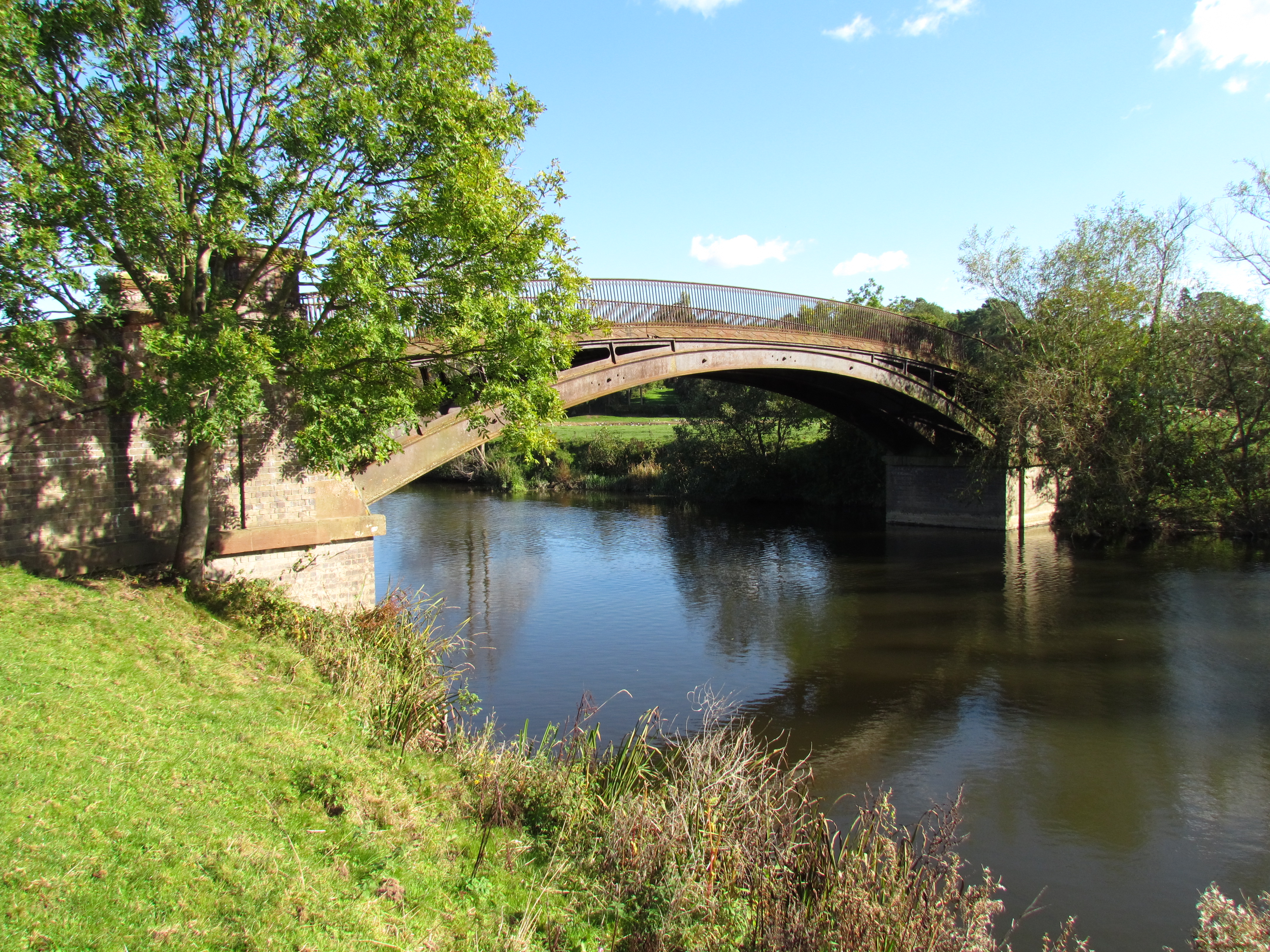
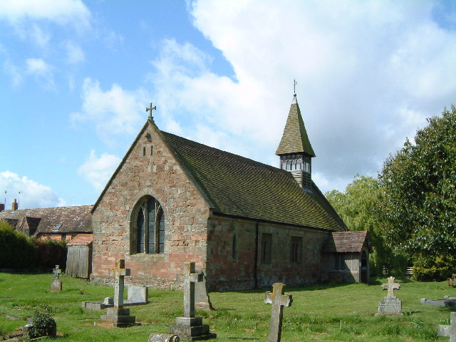
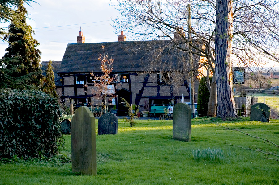
Lower Town Images
Images are sourced within 2km of 52.23574/-2.199119 or Grid Reference SO8659. Thanks to Geograph Open Source API. All images are credited.


Lower Town is located at Grid Ref: SO8659 (Lat: 52.23574, Lng: -2.199119)
Administrative County: Worcestershire
District: Wychavon
Police Authority: West Mercia
What 3 Words
///since.news.foal. Near Fernhill Heath, Worcestershire
Nearby Locations
Related Wikis
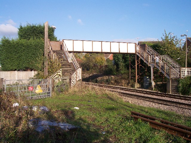
Fernhill Heath railway station
Fernhill Heath railway station was an intermediate railway station on the Oxford, Worcester and Wolverhampton Railway between Worcester (Tunnel Junction...
Fernhill Heath
Fernhill Heath is a village in Worcestershire, England. It is in the civil parish of North Claines in Wychavon district. Fernhill Heath is located on the...
North Claines
North Claines is a civil parish in Wychavon district, Worcestershire, England, immediately north of the city of Worcester. It includes the settlements...
Church of St Michael and All Angels, Martin Hussingtree
The Church of St Michael and All Angels is a Grade I listed church in Martin Hussingtree, Worcestershire.The west wall is probably of 12th century origin...

River School
The River School is an independent Christian School, affiliated with the Christian Schools Trust. The school is located in Worcester, England, in a large...
Worcester City F.C.
Worcester City Football Club is an English football club based in Worcester, Worcestershire. The club play in the Hellenic Football League Premier Division...

Claines
Claines is a small village just to the north of Worcester, in the Worcester district, in the county of Worcestershire, England, on the east bank of the...
The Mug House
The Mug House is a traditional public house located in the village of Claines, Worcestershire, England, which dates back to the 15th century. == Overview... ==
Nearby Amenities
Located within 500m of 52.23574,-2.199119Have you been to Lower Town?
Leave your review of Lower Town below (or comments, questions and feedback).