Lower Tean
Settlement in Staffordshire Staffordshire Moorlands
England
Lower Tean
Lower Tean is a small village located in the county of Staffordshire, England. Situated approximately 7 miles east of the town of Stoke-on-Trent, Lower Tean is nestled in the picturesque countryside of the Staffordshire Moorlands.
The village is known for its peaceful and rural atmosphere, with a population of around 1,500 residents. Lower Tean is surrounded by fields and farmland, offering beautiful views of the Staffordshire landscape. The nearby River Tean also adds to the charm of the area.
Lower Tean boasts a range of amenities to cater to its residents' needs. These include a primary school, a village hall, a post office, and a convenience store. The village has a strong sense of community, with various local groups and organizations that bring residents together.
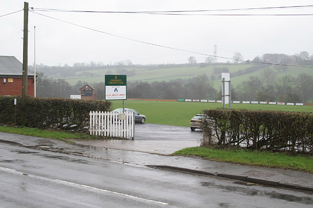
For recreational activities, Lower Tean offers several options. The nearby Peak District National Park is a popular destination for outdoor enthusiasts, providing opportunities for hiking, cycling, and wildlife spotting. Additionally, the village has a local cricket club and a football team, providing opportunities for sports enthusiasts to get involved.
Transport links in Lower Tean are well-established. The village is conveniently located near the A50, a major road connecting Stoke-on-Trent and Derby. The nearest train station is located in Uttoxeter, approximately 8 miles away, providing easy access to neighboring towns and cities.
Overall, Lower Tean offers a tranquil and close-knit community within the beautiful Staffordshire countryside, making it an ideal place for those seeking a peaceful rural lifestyle.
If you have any feedback on the listing, please let us know in the comments section below.
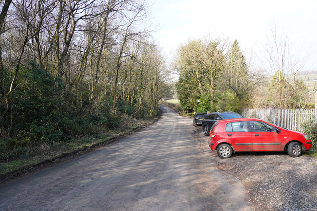
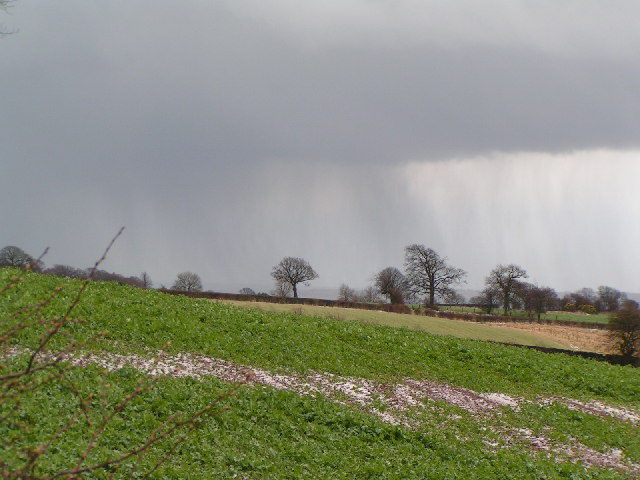
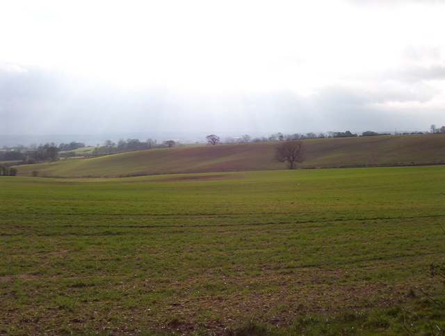
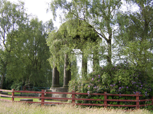
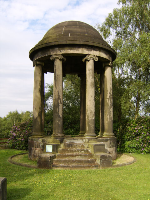
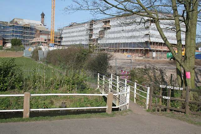
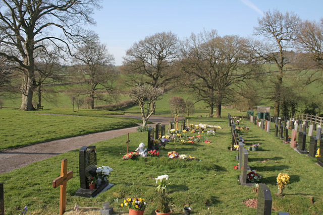
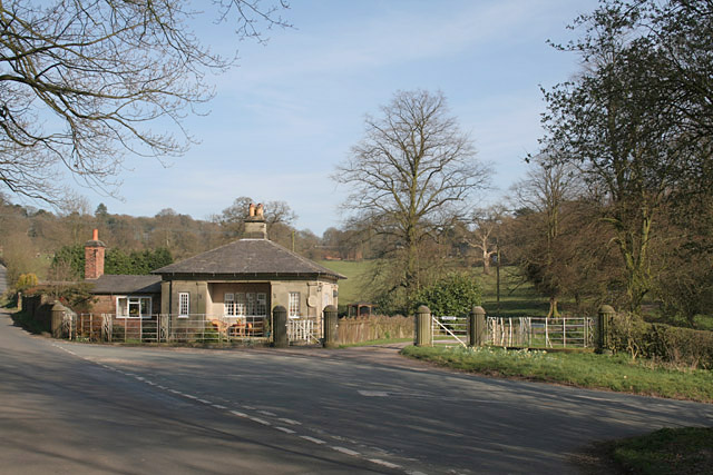
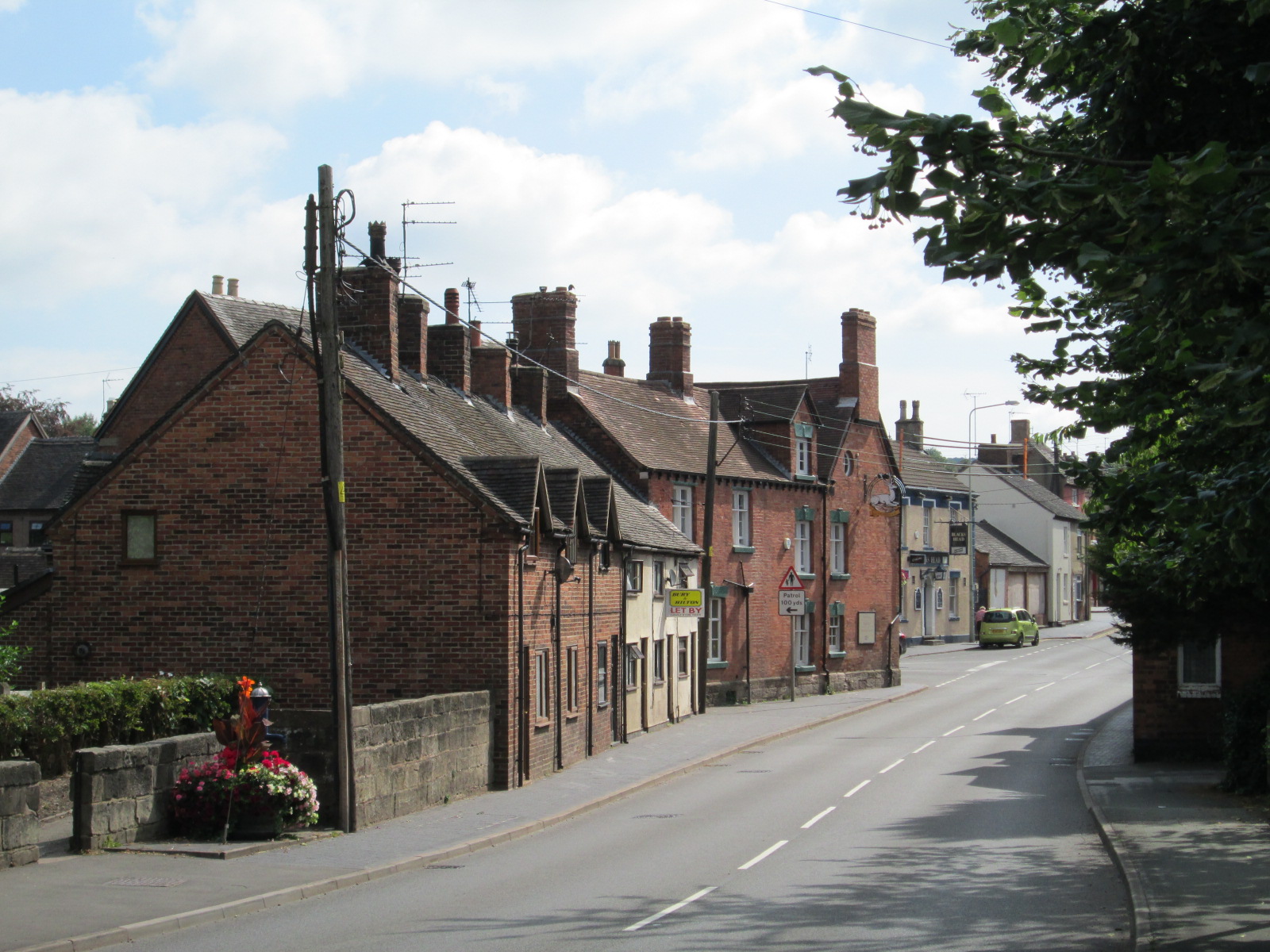
Lower Tean Images
Images are sourced within 2km of 52.944405/-1.970948 or Grid Reference SK0238. Thanks to Geograph Open Source API. All images are credited.


Lower Tean is located at Grid Ref: SK0238 (Lat: 52.944405, Lng: -1.970948)
Administrative County: Staffordshire
District: Staffordshire Moorlands
Police Authority: Staffordshire
What 3 Words
///topped.tacky.wisdom. Near Cheadle, Staffordshire
Nearby Locations
Related Wikis
Uttoxeter Road
Uttoxeter Road (also known as Four Trees) is a cricket ground located along the Uttoxeter Road between the villages of Lower Tean and Checkley in Staffordshire...

Checkley
Checkley is a village and civil parish in the district of Staffordshire Moorlands in the English county of Staffordshire. == Location == The village is...

St Mary's and All Saints' Church, Checkley
St Mary's and All Saints' Church is an Anglican church in the village of Checkley, Staffordshire, England. It is a Grade I listed building. The oldest...
Tean, Staffordshire
Tean is a large village in Staffordshire, England. It is around 15 miles (24 km) south-east of Stoke-on-Trent. The River Tean runs through the village...

Leigh, Staffordshire
Leigh is a civil parish in the English county of Staffordshire. The parish includes the village of Church Leigh, together with the settlements of Withington...
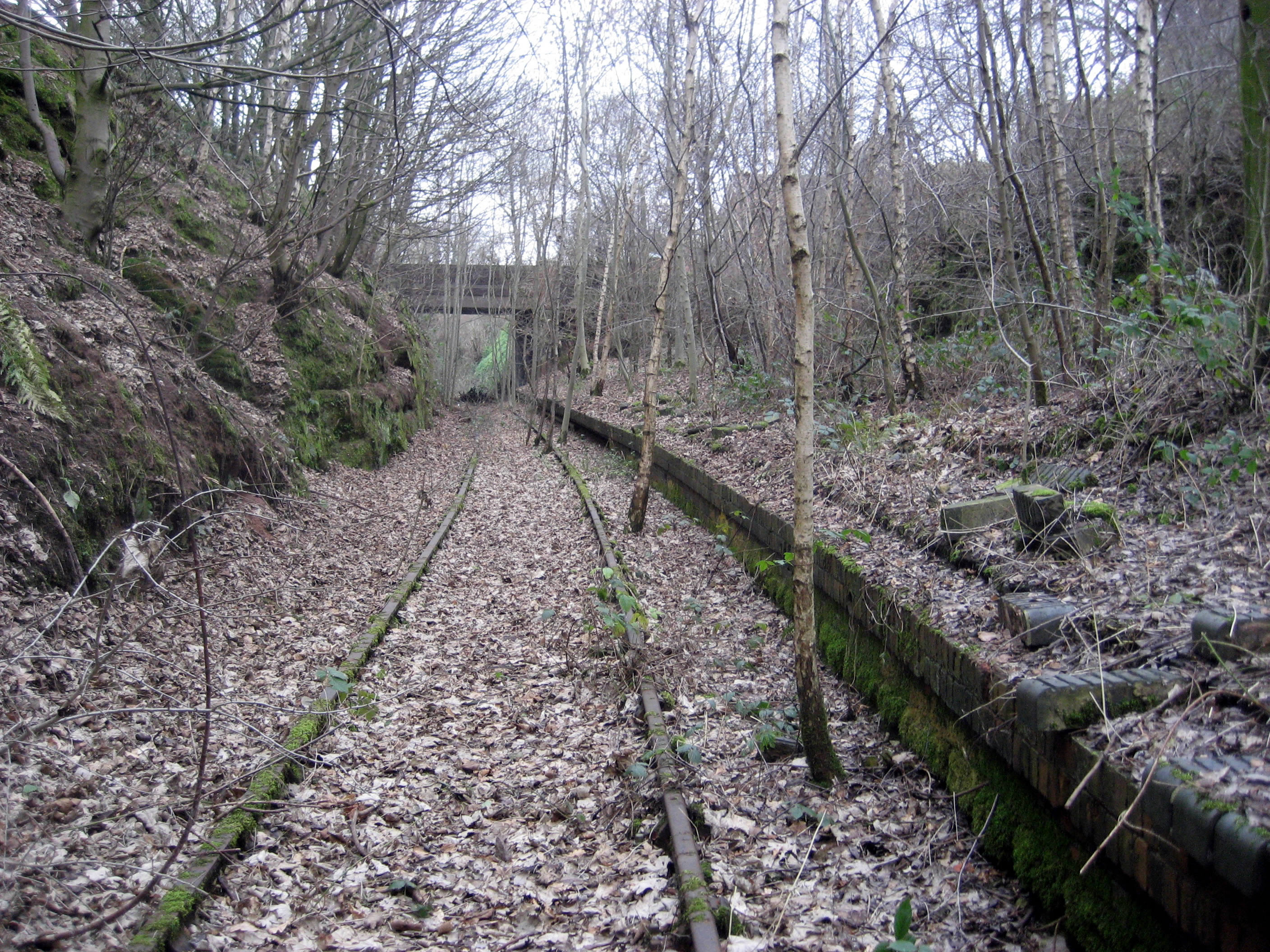
Tean railway station
Tean railway station was a railway station located on the Cheadle Branch Line at Totmonslow, Staffordshire. It was opened as Totmonslow in 1892 and was...

Freehay
Freehay is a small village located 2 miles from the centre of Cheadle in Staffordshire, England. The village centre is at the main Freehay Bank (or Church...
Leigh railway station (Staffordshire)
Leigh railway station was a railway station in Staffordshire, England. The railway line between Stoke-on-Trent and Uttoxeter was opened by the North Staffordshire...
Nearby Amenities
Located within 500m of 52.944405,-1.970948Have you been to Lower Tean?
Leave your review of Lower Tean below (or comments, questions and feedback).