Lower Swanwick
Settlement in Hampshire Fareham
England
Lower Swanwick
Lower Swanwick is a charming village located in the county of Hampshire, England. Situated on the eastern bank of the River Hamble, it falls within the district of Fareham. With a population of around 2,500 residents, Lower Swanwick exudes a peaceful and community-oriented atmosphere.
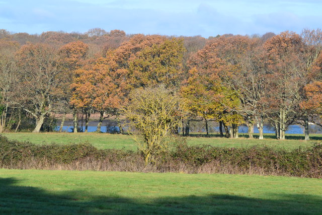
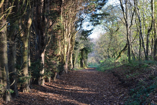
The village is renowned for its picturesque scenery, as it is nestled amidst rolling countryside and surrounded by lush green fields. The River Hamble, a prominent feature of the area, provides both a stunning backdrop and recreational opportunities for residents and visitors.
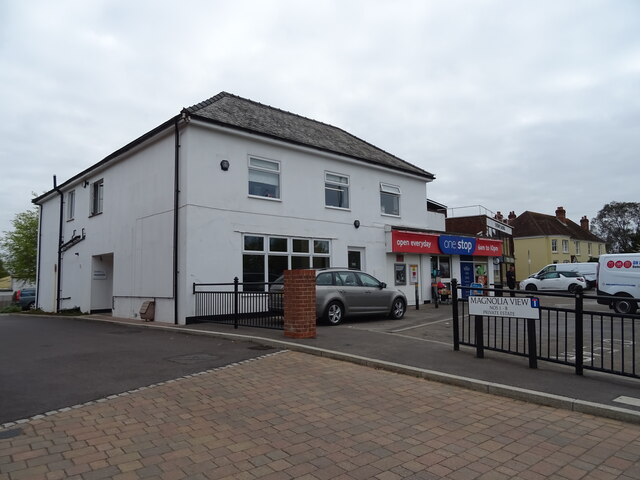
Lower Swanwick boasts a range of amenities, including a primary school that caters to the educational needs of the local children. The village also benefits from a selection of shops, restaurants, and pubs, ensuring that residents have access to essential services and leisure activities without venturing far from home.
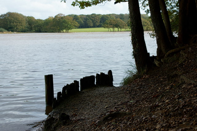
For nature enthusiasts, the nearby Swanwick Lakes Nature Reserve offers an abundance of flora and fauna, making it a popular destination for birdwatching and walking. The reserve comprises a series of interconnected lakes and ponds, providing a habitat for various species of wildlife.
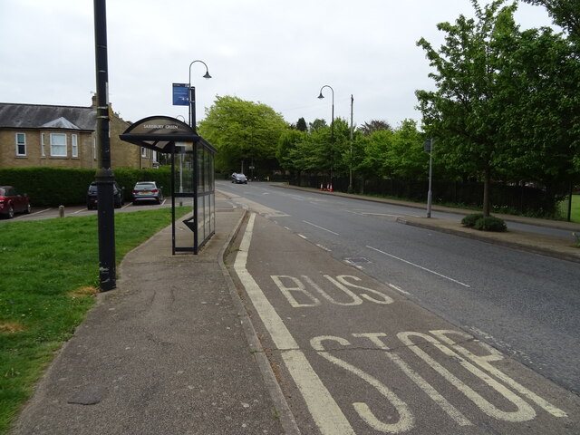
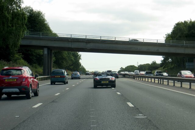
Transport links in Lower Swanwick are excellent, with a train station nearby offering regular services to Southampton, Portsmouth, and other surrounding towns. Additionally, the M27 motorway is easily accessible, providing convenient connections to major cities and neighboring counties.
Overall, Lower Swanwick presents a tranquil and idyllic setting for those seeking a rural escape while still enjoying the convenience of nearby amenities and excellent transport links.
If you have any feedback on the listing, please let us know in the comments section below.
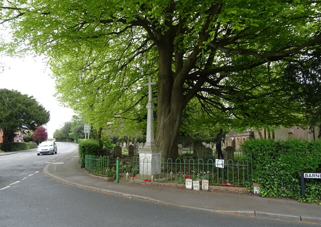
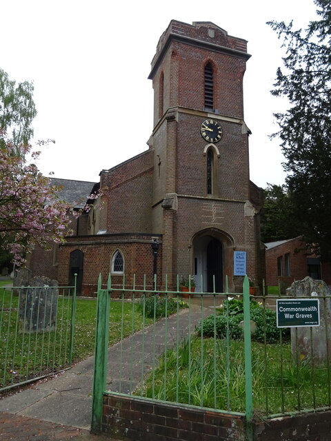
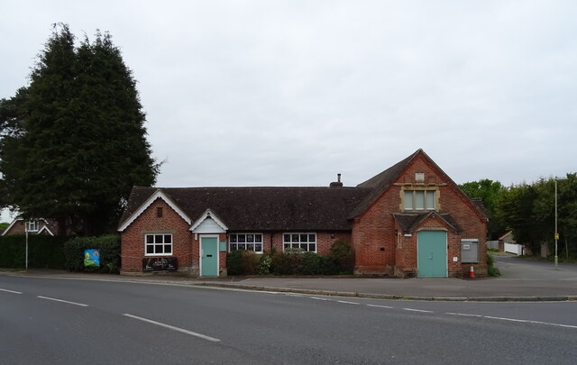
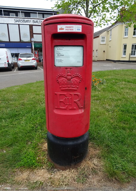
Lower Swanwick Images
Images are sourced within 2km of 50.882519/-1.29347 or Grid Reference SU4909. Thanks to Geograph Open Source API. All images are credited.


Lower Swanwick is located at Grid Ref: SU4909 (Lat: 50.882519, Lng: -1.29347)
Administrative County: Hampshire
District: Fareham
Police Authority: Hampshire
What 3 Words
///chill.broad.gosh. Near Bursledon, Hampshire
Nearby Locations
Related Wikis

Swanwick Shore Strict Baptist Chapel
Swanwick Shore Strict Baptist Chapel is a Strict Baptist place of worship in Lower Swanwick, a village in the Borough of Fareham in Hampshire, England...

Lower Swanwick
Lower Swanwick is a village on the River Hamble in Hampshire, England. It is located within the borough of Fareham at the eastern end of Bursledon Bridge...

Bursledon Brickworks Museum
The Brickworks Museum, also known as Bursledon Brickworks, is a volunteer-run museum in Swanwick, Hampshire, England. It is purportedly the UK's sole surviving...
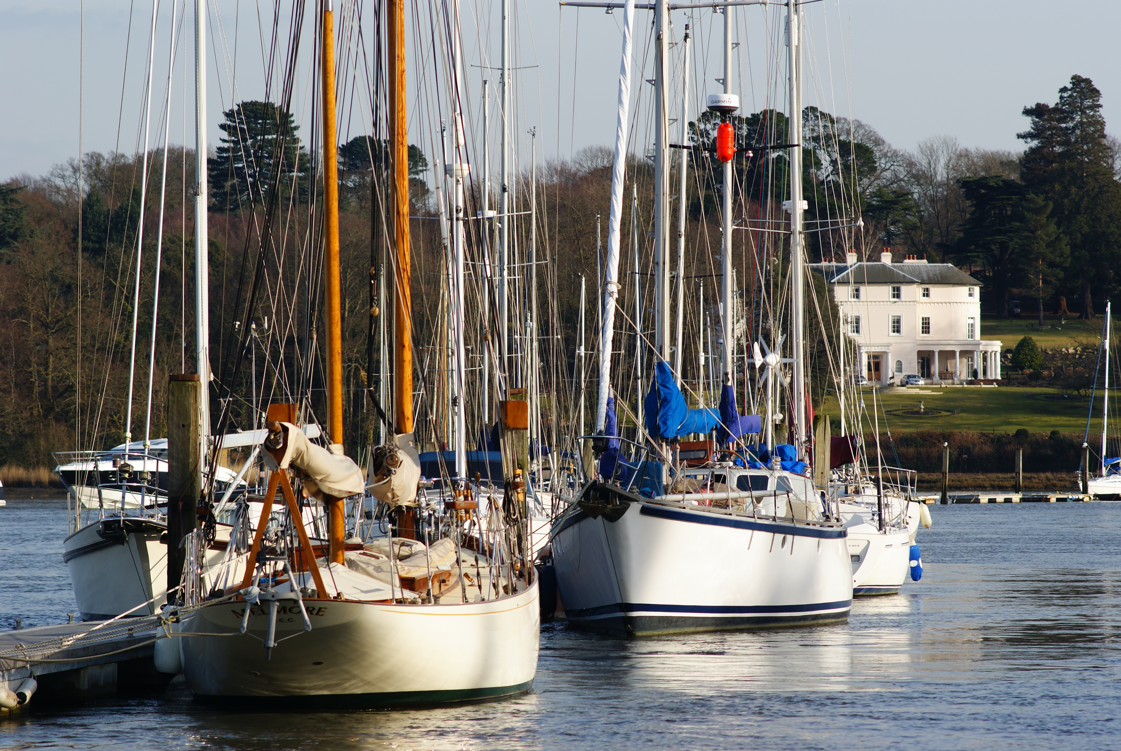
Brooklands, Sarisbury
Brooklands is an 18th-century country house in Sarisbury in Fareham in the English county of Hampshire. The grounds of the house overlook the River Hamble...

London Area Control Centre
The London Area Control Centre (LACC) is an air traffic control centre based at Swanwick near Fareham in Hampshire, southern England. It is operated by...
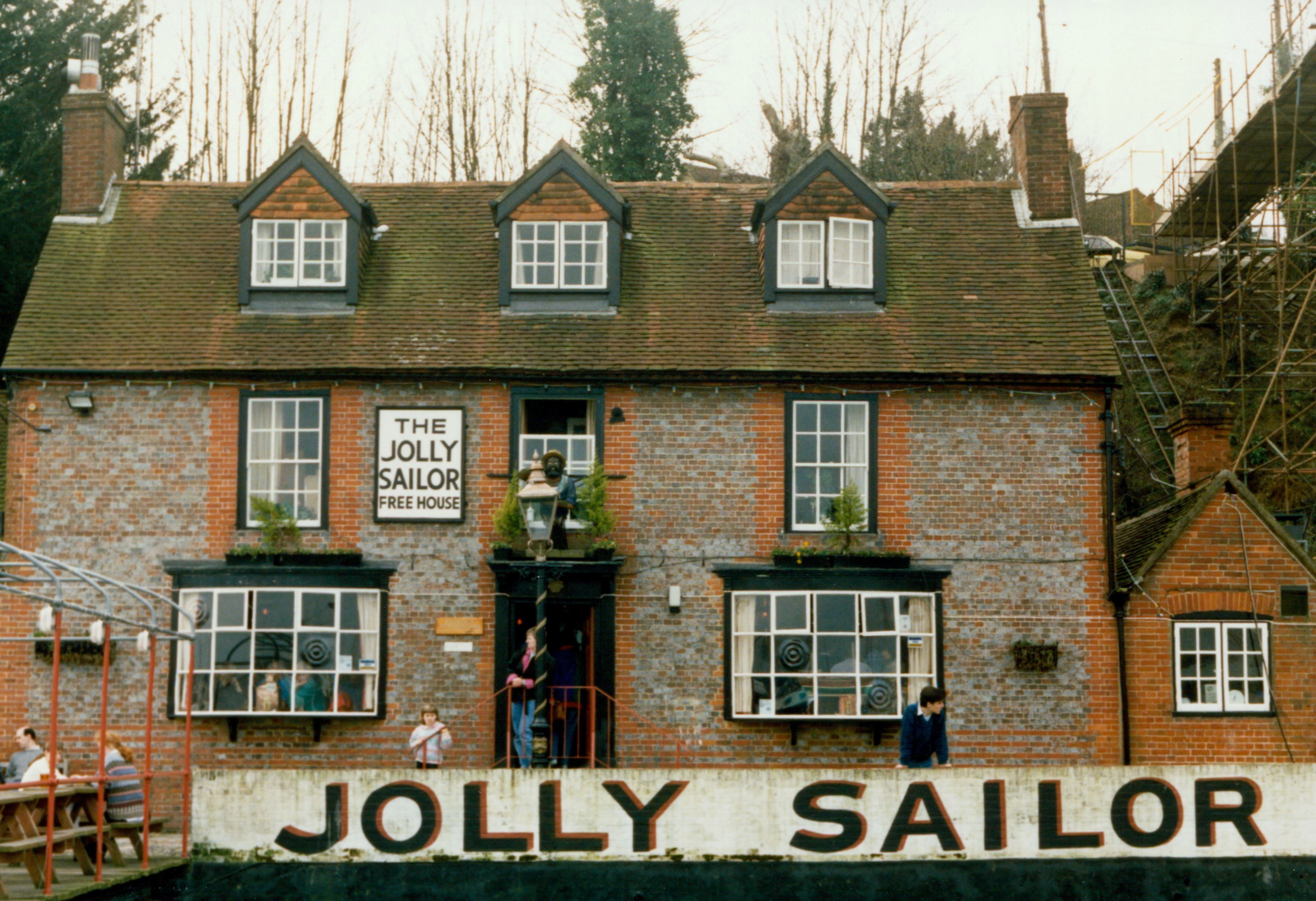
The Jolly Sailor, Bursledon
The Jolly Sailor is an 18th-century public house on Land's End Road in Bursledon in Hampshire, England. It has been listed Grade II on the National Heritage...
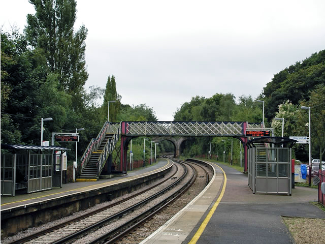
Bursledon railway station
Bursledon railway station serves the village of Bursledon in Hampshire, England. It is on the West Coastway Line. The station is operated by South Western...

Swanwick Lakes
Swanwick Lakes is a 35-hectare (86-acre) nature reserve in Swanwick in Hampshire. It is managed by the Hampshire and Isle of Wight Wildlife Trust.Most...
Nearby Amenities
Located within 500m of 50.882519,-1.29347Have you been to Lower Swanwick?
Leave your review of Lower Swanwick below (or comments, questions and feedback).