Glac Mhòr
Corrie (Glacial Valley) in Inverness-shire
Scotland
Glac Mhòr

Glac Mhòr, also known as Corrie (Glacial Valley), is a picturesque location situated in Inverness-shire, Scotland. Nestled within the Cairngorms National Park, it is renowned for its stunning natural beauty and rich geological history.
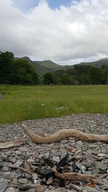
Glac Mhòr is a classic example of a glacial valley formed during the last Ice Age. The valley is characterized by its U-shaped profile, steep sides, and a flat bottom. It is surrounded by towering mountain peaks, including the prominent Cairn Gorm and Braeriach.
The valley is adorned with a variety of breathtaking landscapes. Lush green meadows, dotted with colorful wildflowers, cover the valley floor, while cascading waterfalls and crystal-clear streams flow through its heart. The deep blue hues of the tranquil Loch Avon, nestled at the base of the valley, add to its allure.
Glac Mhòr is a haven for outdoor enthusiasts, offering a plethora of recreational activities. Hiking and mountaineering are popular pursuits, with numerous trails and routes catering to all levels of experience. The valley also attracts climbers, with its challenging rock faces and crags. During winter, Glac Mhòr transforms into a winter wonderland, drawing skiers and snowboarders to its slopes.
The wildlife in Glac Mhòr is diverse and abundant. Visitors may spot red deer, golden eagles, and ptarmigans, among other species. The valley is also home to rare alpine plants, adding a touch of uniqueness to its biodiversity.
Overall, Glac Mhòr in Inverness-shire is a captivating destination that showcases the sheer beauty of Scotland's natural landscapes. Its glacial origins, stunning vistas, and recreational opportunities make it a must-visit location for nature lovers and adventure enthusiasts alike.
If you have any feedback on the listing, please let us know in the comments section below.
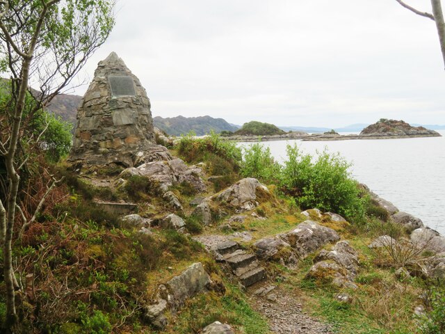
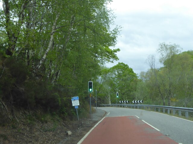
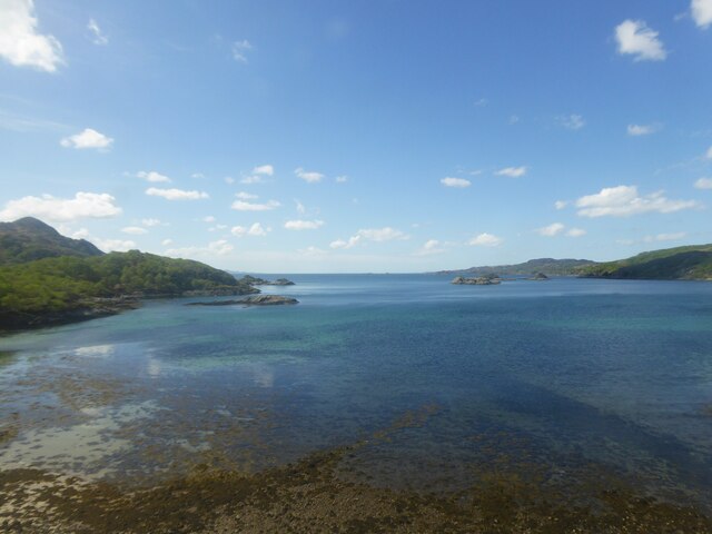
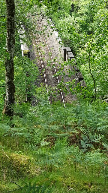
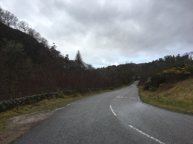
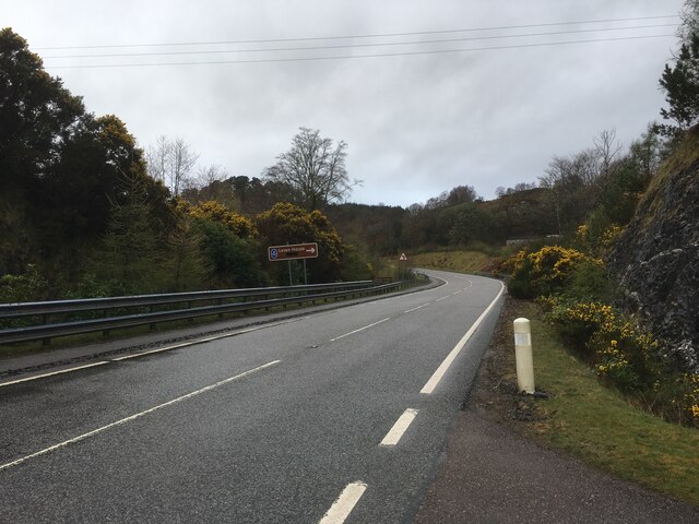
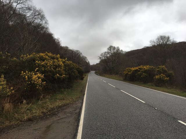
Glac Mhòr Images
Images are sourced within 2km of 56.898964/-5.7636271 or Grid Reference NM7084. Thanks to Geograph Open Source API. All images are credited.


Glac Mhòr is located at Grid Ref: NM7084 (Lat: 56.898964, Lng: -5.7636271)
Unitary Authority: Highland
Police Authority: Highlands and Islands
What 3 Words
///automate.crust.willpower. Near Arisaig, Highland
Nearby Locations
Related Wikis

Beasdale railway station
Beasdale railway station is a railway station serving Glen Beasdale in the Highland region of Scotland. This station is on the West Highland Line, sited...
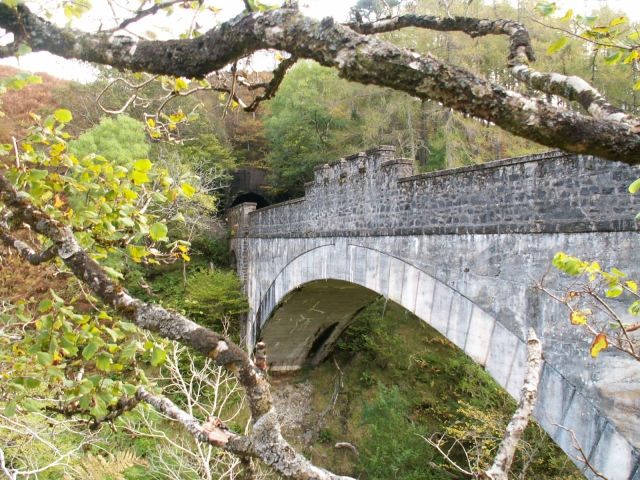
Borrodale Viaduct
The Borrodale Viaduct is a railway viaduct that carries the West Highland Line over the Borrodale Burn. == History == The West Highland Railway was built...

Prince Charlie's Cave
There are many Prince Charlies Caves in the Highlands, caves where Charles Edward Stuart was said to have sheltered when on the run from the Duke of Cumberland...
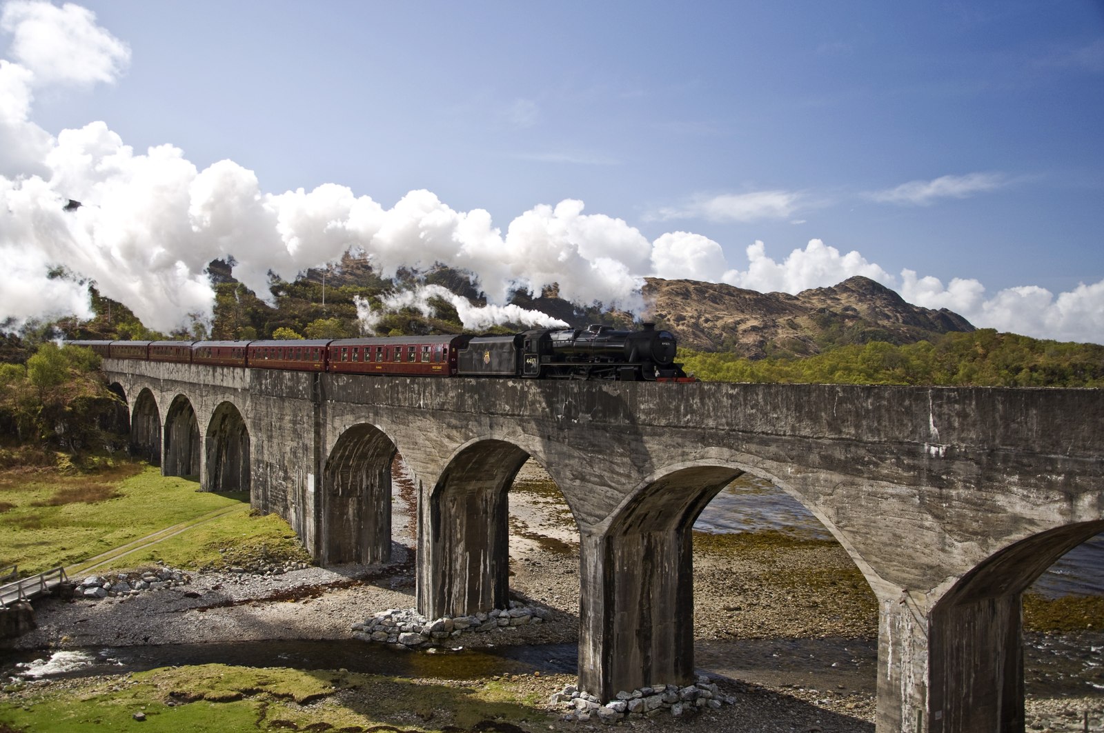
Loch nan Uamh Viaduct
The Loch nan Uamh Viaduct is a railway viaduct in Scotland that carries the West Highland Line. == History == The West Highland Railway was built to Fort...
Nearby Amenities
Located within 500m of 56.898964,-5.7636271Have you been to Glac Mhòr?
Leave your review of Glac Mhòr below (or comments, questions and feedback).