Lower Studley
Settlement in Wiltshire
England
Lower Studley

Lower Studley is a small hamlet located in the county of Wiltshire, England. Situated approximately 7 miles northwest of the town of Trowbridge, Lower Studley is nestled within the picturesque countryside of the region. The hamlet is part of the civil parish of Studley, which also includes the nearby settlement of Upper Studley.
Lower Studley is characterized by its charming rural setting, with rolling green fields, wooded areas, and a tranquil atmosphere. The surrounding landscape provides ample opportunities for outdoor activities such as walking, hiking, and cycling, attracting nature enthusiasts and visitors seeking a peaceful escape from urban life.
The hamlet itself consists of a handful of traditional stone houses, some of which date back several centuries. These properties are predominantly residential, and the community is relatively small, fostering a close-knit and friendly atmosphere. Despite its size, Lower Studley benefits from its proximity to nearby amenities, with a range of services available in the neighboring towns of Trowbridge and Bradford-on-Avon.
Lower Studley is also within easy reach of several notable attractions. The nearby Longleat Safari Park and Center Parcs Longleat Forest offer family-friendly entertainment and leisure activities, while the historic city of Bath is only a short drive away, renowned for its Roman baths, stunning architecture, and cultural heritage.
In summary, Lower Studley is a charming and idyllic hamlet in the heart of Wiltshire's countryside, offering a peaceful and picturesque retreat for residents and visitors alike.
If you have any feedback on the listing, please let us know in the comments section below.
Lower Studley Images
Images are sourced within 2km of 51.312333/-2.203418 or Grid Reference ST8557. Thanks to Geograph Open Source API. All images are credited.


Lower Studley is located at Grid Ref: ST8557 (Lat: 51.312333, Lng: -2.203418)
Unitary Authority: Wiltshire
Police Authority: Wiltshire
What 3 Words
///underline.flaked.sling. Near Trowbridge, Wiltshire
Nearby Locations
Related Wikis

Wiltshire Library and Information Service
Wiltshire Library and Information Service is a county-wide network of public libraries based in Trowbridge, Wiltshire, England. It is service of Wiltshire...

Wiltshire Council
Wiltshire Council, known between 1889 and 2009 as Wiltshire County Council, is a unitary authority which governs the district of Wiltshire, which covers...
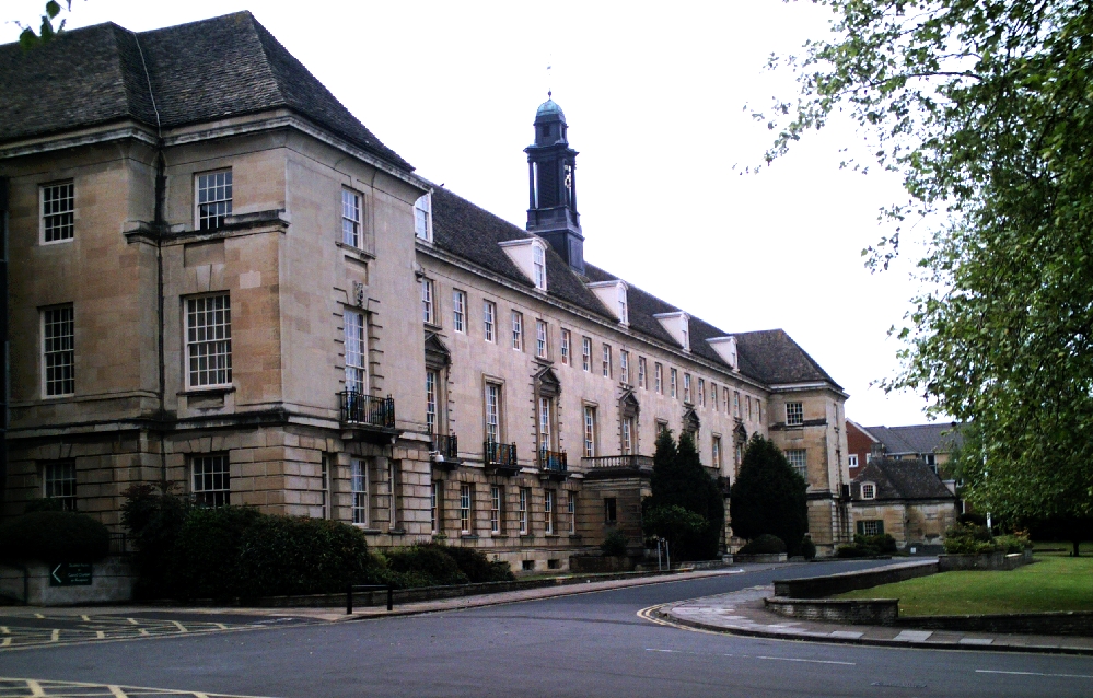
County Hall, Trowbridge
County Hall is a municipal building in Bythesea Road, Trowbridge, Wiltshire, England, completed in 1940. It is the headquarters of Wiltshire Council....
Castle Place Shopping Centre
Castle Place Shopping Centre is a shopping centre in Trowbridge, England.The shopping centre was purchased by Legal & General Property in 2010. In 2011...

Trowbridge Town Hall
Trowbridge Town Hall is a municipal building in Market Street, Trowbridge, Wiltshire, England. The town hall, which was the headquarters of Trowbridge...

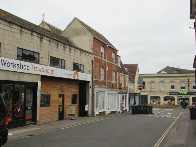
Trowbridge
Trowbridge ( TROH-brij) is the county town of Wiltshire, England; situated on the River Biss in the west of the county, close to the border with Somerset...
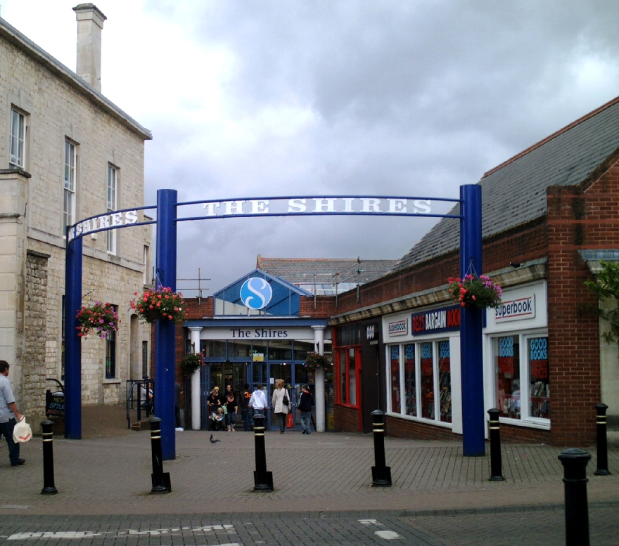
The Shires Shopping Centre
The Shires Shopping Centre is the central, covered shopping centre in Trowbridge, Wiltshire, England. The centre incorporates the county town's main museum...
The Clarendon Academy
The Clarendon Academy (formerly The Clarendon College, The Clarendon School and Nelson Haden School) is a mixed secondary school and sixth form located...
Nearby Amenities
Located within 500m of 51.312333,-2.203418Have you been to Lower Studley?
Leave your review of Lower Studley below (or comments, questions and feedback).