Glac a' Chlaonain

Corrie (Glacial Valley) in Argyllshire

Scotland

Glac a' Chlaonain

Bus stop beside the B8035
Bus stop beside the B8035 Credit: Steven Brown

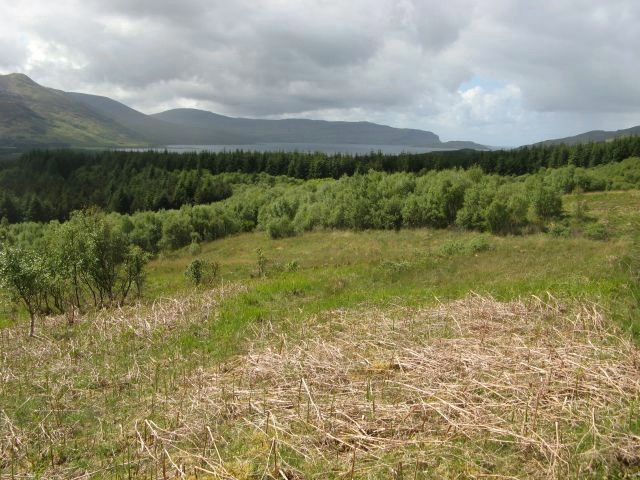
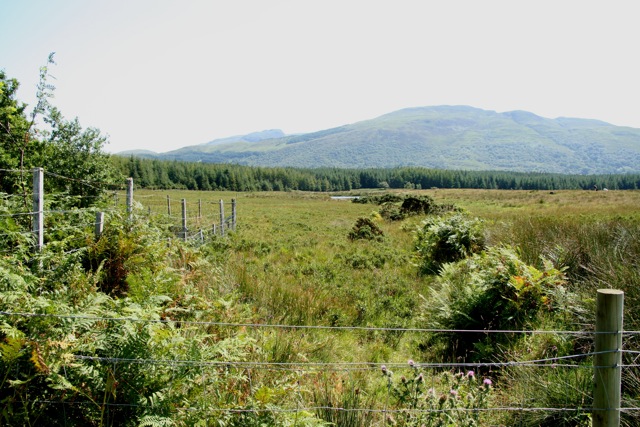
Glac a' Chlaonain is a stunning corrie (glacial valley) located in Argyllshire, Scotland. Nestled within the rugged landscape of the Scottish Highlands, this geological feature was carved out by glaciers during the last Ice Age.

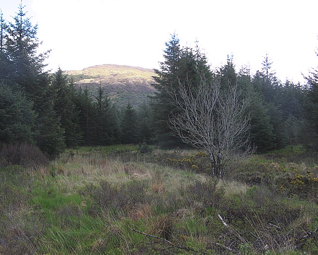
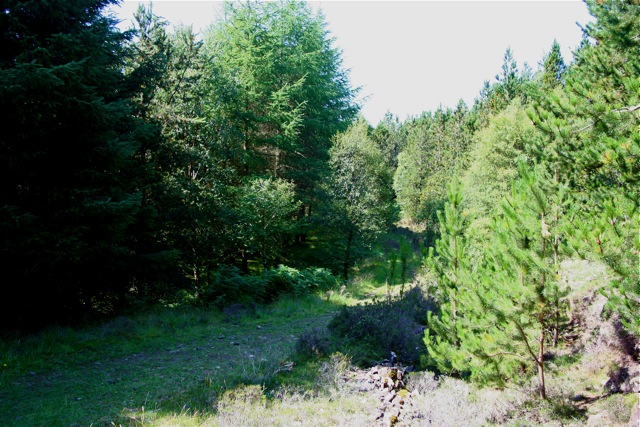
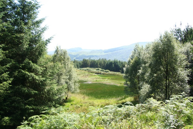
Surrounded by towering mountains and lush greenery, Glac a' Chlaonain offers breathtaking views of its dramatic and picturesque surroundings. The valley is characterized by its U-shaped profile, steep sides, and a small lake at its base, which was formed by a glacier that once flowed through the area.

The corrie is a popular destination for hikers and nature enthusiasts looking to explore the unique geology and natural beauty of the Scottish Highlands. Visitors can enjoy leisurely walks along the valley floor, or challenge themselves with more strenuous hikes up the surrounding peaks for panoramic views of the area.

Overall, Glac a' Chlaonain is a must-see destination for those seeking to experience the rugged beauty and geological history of the Scottish Highlands.

If you have any feedback on the listing, please let us know in the comments section below.

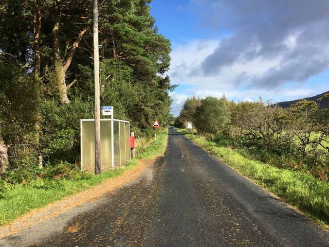
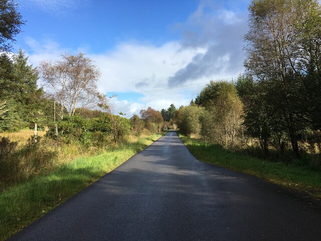
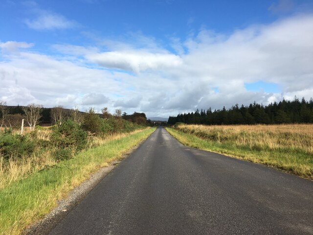
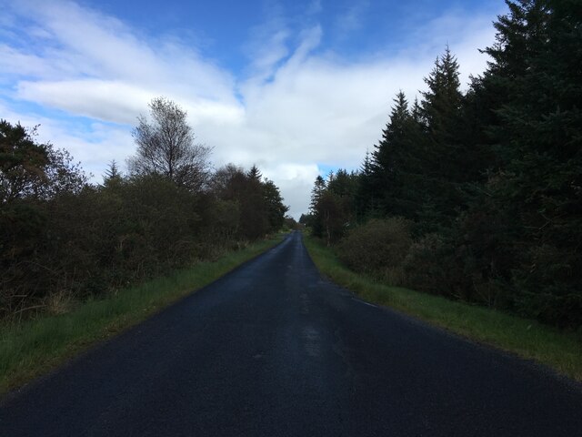
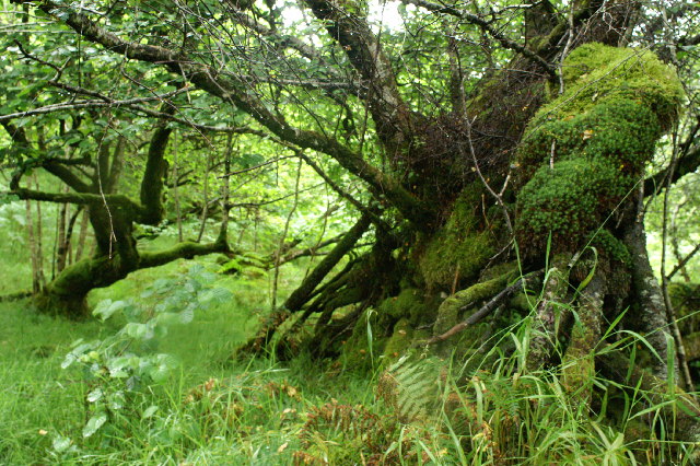
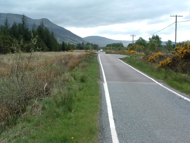
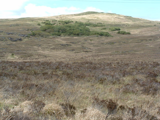
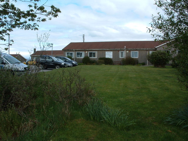
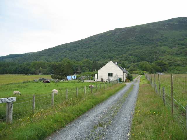
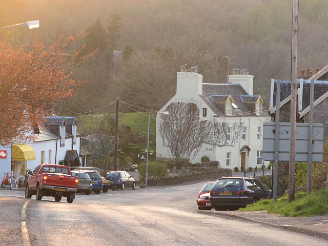
Glac a' Chlaonain Images

Images are sourced within 2km of 56.501391/-5.9578175 or Grid Reference NM5641. Thanks to Geograph Open Source API. All images are credited.

Bus stop beside the B8035
B8035 towards Salen
B8035 towards Salen
B8035 towards Salen
B8035 towards Salen
B8035 near Criagmore Cottage
Trees in the wood above Salen
Straight bit of road! The hidden dips make it a bit dangerous when trying to overtake though.
Straight bit of road!
The hidden dips make it a bit dangerous when trying to overtake though.
Woodland on Braigh a' choire Mhor
Hospital at Salen As far as I am aware, the building in the photo is the only NHS hospital for Mull, housing the casualty, out patients and x-ray departments for all of the island. It is also an old people's home.
Hospital at Salen
As far as I am aware, the building in the photo is the only NHS hospital for Mull, housing the casualty, out patients and x-ray departments for all of the island. It is also an old people's home.
Torlochan Byre Part of Torlochan Farm, now converted to a cottage.
Torlochan Byre
Part of Torlochan Farm, now converted to a cottage.
Salen The centre of the village, looking downhill to the junction with the Gruline road.
Salen
The centre of the village, looking downhill to the junction with the Gruline road.
Between Glenaros House and Killiechronan Looking south-west from the open hillside west of Salen, across birch woodland and a conifer plantation, towards Loch na Keal.
Between Glenaros House and Killiechronan
Looking south-west from the open hillside west of Salen, across birch woodland and a conifer plantation, towards Loch na Keal.
Chickenfeed A daring chicken taking a rest on the doorstep of a restaurant in Salen.
Chickenfeed
A daring chicken taking a rest on the doorstep of a restaurant in Salen.
Woodland near Salen The road south-west from Salen to Gruline passes through a large area of conifer plantations.  This view looks south-eastwards through a gap in the trees.
Woodland near Salen
The road south-west from Salen to Gruline passes through a large area of conifer plantations. This view looks south-eastwards through a gap in the trees.
Salen Fire Hut Run by volunteer firefighters, Salen Fire Hut is one of 113 fire stations administered by Strathclyde Fire and Rescue.
Salen Fire Hut
Run by volunteer firefighters, Salen Fire Hut is one of 113 fire stations administered by Strathclyde Fire and Rescue.
Woods near Coire Mor Near Killiechronan, Isle of Mull
Woods near Coire Mor
Near Killiechronan, Isle of Mull
View from woods near Coire Mor Near Killiechronan, Isle of Mull
View from woods near Coire Mor
Near Killiechronan, Isle of Mull
View on the edge of woods near Killiechronan
Salen street scene viewed from the petrol station Photographer is standing on the paved surface of the petrol station.
Salen street scene viewed from the petrol station
Photographer is standing on the paved surface of the petrol station.
Show me another place!

Glac a' Chlaonain is located at Grid Ref: NM5641 (Lat: 56.501391, Lng: -5.9578175)

Unitary Authority: Argyll and Bute

Police Authority: Argyll and West Dunbartonshire

What 3 Words

///keys.stoops.flick. Near Salen, Argyll & Bute

Related Wikis

Salen, Mull

Salen (Scottish Gaelic: An t-Sàilean) is a settlement on the Isle of Mull, Scotland. It is on the east coast of the island, on the Sound of Mull, approximately...

Inner Hebrides

The Inner Hebrides ( HEB-rid-eez; Scottish Gaelic: na h-Eileanan a-staigh, lit. 'the Inner Isles') is an archipelago off the west coast of mainland Scotland...

Great Mull Air Mystery

The Great Mull Air Mystery is the name given by the media to the disappearance of pilot Peter Gibbs on 24 December 1975 after he took an unscheduled solo...

Aros Castle

Aros Castle, also known as Dounarwyse Castle, is a ruined 13th-century castle near Salen on the Isle of Mull, Scotland. The castle overlooks the Sound...

Have you been to Glac a' Chlaonain?

Leave your review of Glac a' Chlaonain below (or comments, questions and feedback).