Barking Point
Coastal Marsh, Saltings in Essex
England
Barking Point
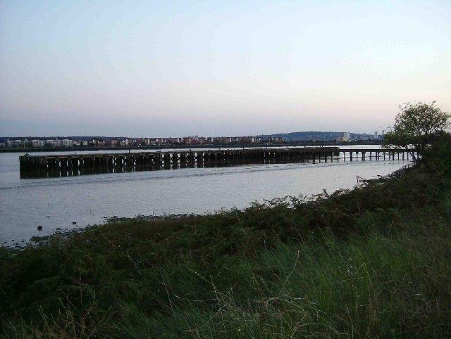
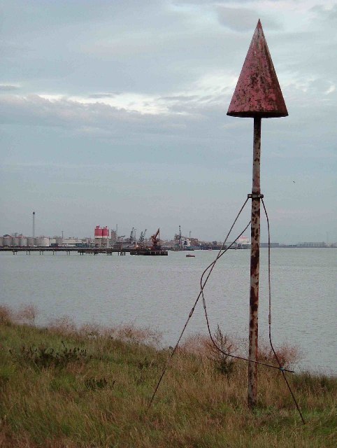
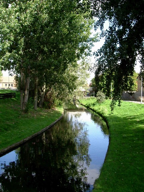
Barking Point, located in Essex, England, is a coastal marshland area known for its unique landscape and ecological significance. Situated along the coast, it encompasses a vast expanse of salt marshes and saltings, making it an important habitat for various species of flora and fauna.
The marshland of Barking Point is characterized by its muddy and marshy terrain, which is predominantly covered by salt-tolerant grasses and low-lying shrubs. These plants have adapted to the saline conditions and serve as a crucial food source and nesting ground for numerous bird species, including waders, wildfowl, and terns.
The area is also home to diverse marine and intertidal life, such as crabs, clams, and small fish, which thrive in the brackish waters. This abundance of food attracts a variety of bird species, making Barking Point an ideal spot for birdwatching and ornithological study.
Apart from its ecological importance, Barking Point is a popular destination for outdoor enthusiasts and nature lovers. The marshlands offer picturesque views of the surrounding coastline, with its expansive mudflats and channels that provide an ever-changing landscape depending on the tides.
Visitors to Barking Point can enjoy leisurely walks along the designated footpaths and trails, observing the rich biodiversity and taking in the tranquil ambiance. The area also offers opportunities for outdoor activities like birdwatching, photography, and nature study.
Overall, Barking Point in Essex is a captivating coastal marshland that showcases the beauty of nature and provides a haven for a diverse range of wildlife.
If you have any feedback on the listing, please let us know in the comments section below.
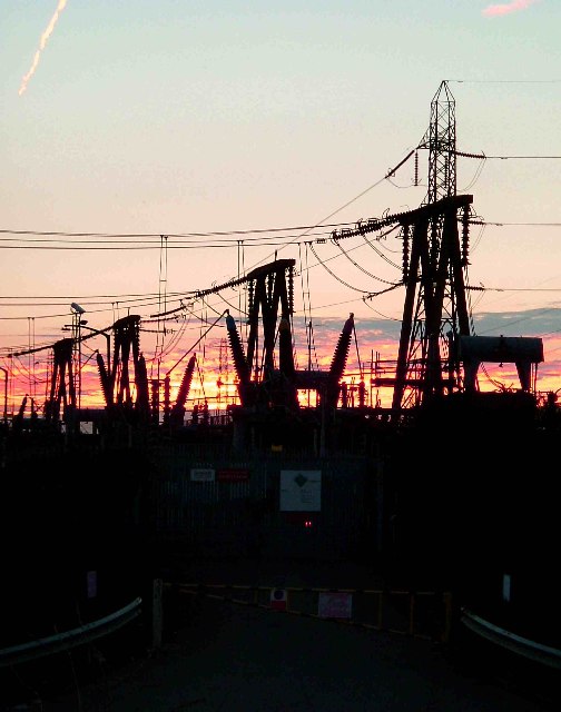
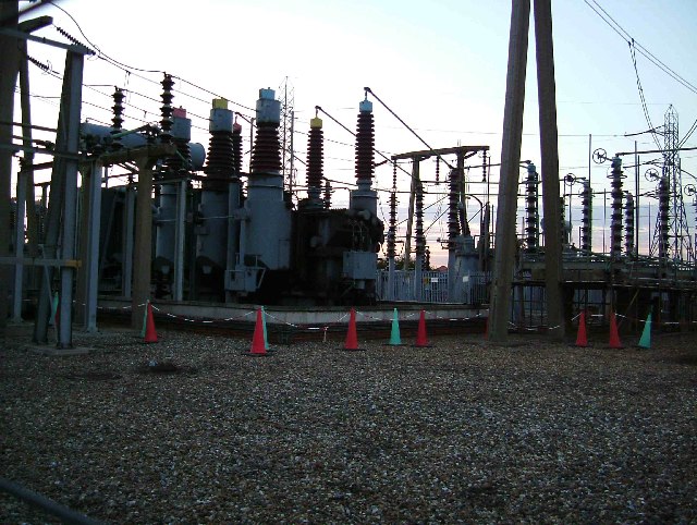
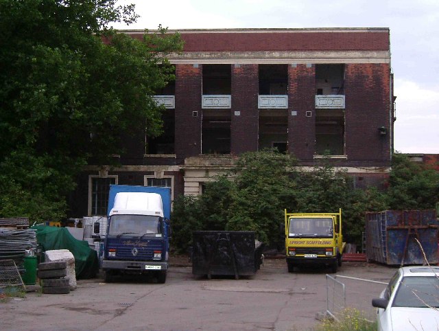
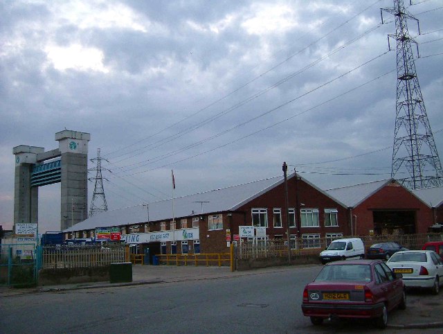
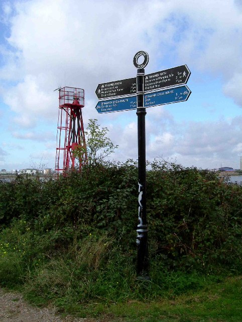
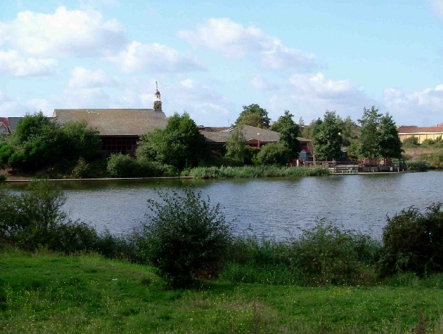
Barking Point Images
Images are sourced within 2km of 51.513984/0.10790207 or Grid Reference TQ4681. Thanks to Geograph Open Source API. All images are credited.


Barking Point is located at Grid Ref: TQ4681 (Lat: 51.513984, Lng: 0.10790207)
Unitary Authority: Barking and Dagenham
Police Authority: Metropolitan
Also known as: False Point
What 3 Words
///duke.twist.doors. Near Barking, London
Nearby Locations
Related Wikis
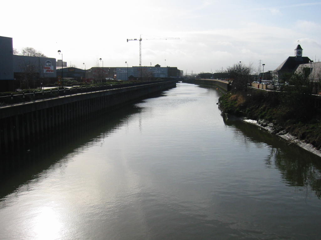
River Roding
The River Roding () rises at Molehill Green, Essex, England, then flows south through Essex and London and forms Barking Creek as it reaches the River...

London Riverside
The London Riverside is a redevelopment area on the north side of the River Thames in East London, England. The area was identified as a zone of change...

Creekmouth
Creekmouth is an area of Barking in east London, England. It is best known for its large industrial estate. The industrial area around River Road and Thames...
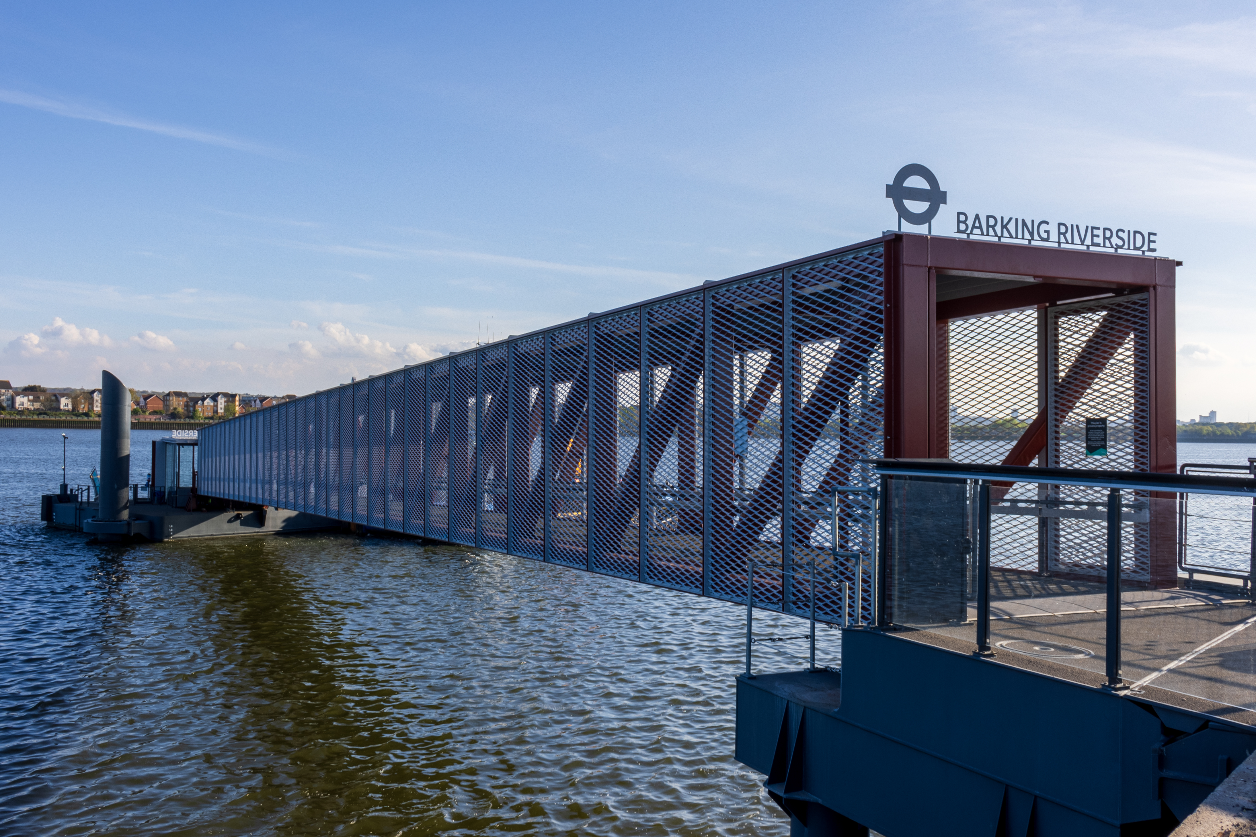
Barking Riverside Pier
Barking Riverside Pier is an Uber Boat by Thames Clippers commuter service pier located on the River Thames at Barking Riverside. Passenger services began...
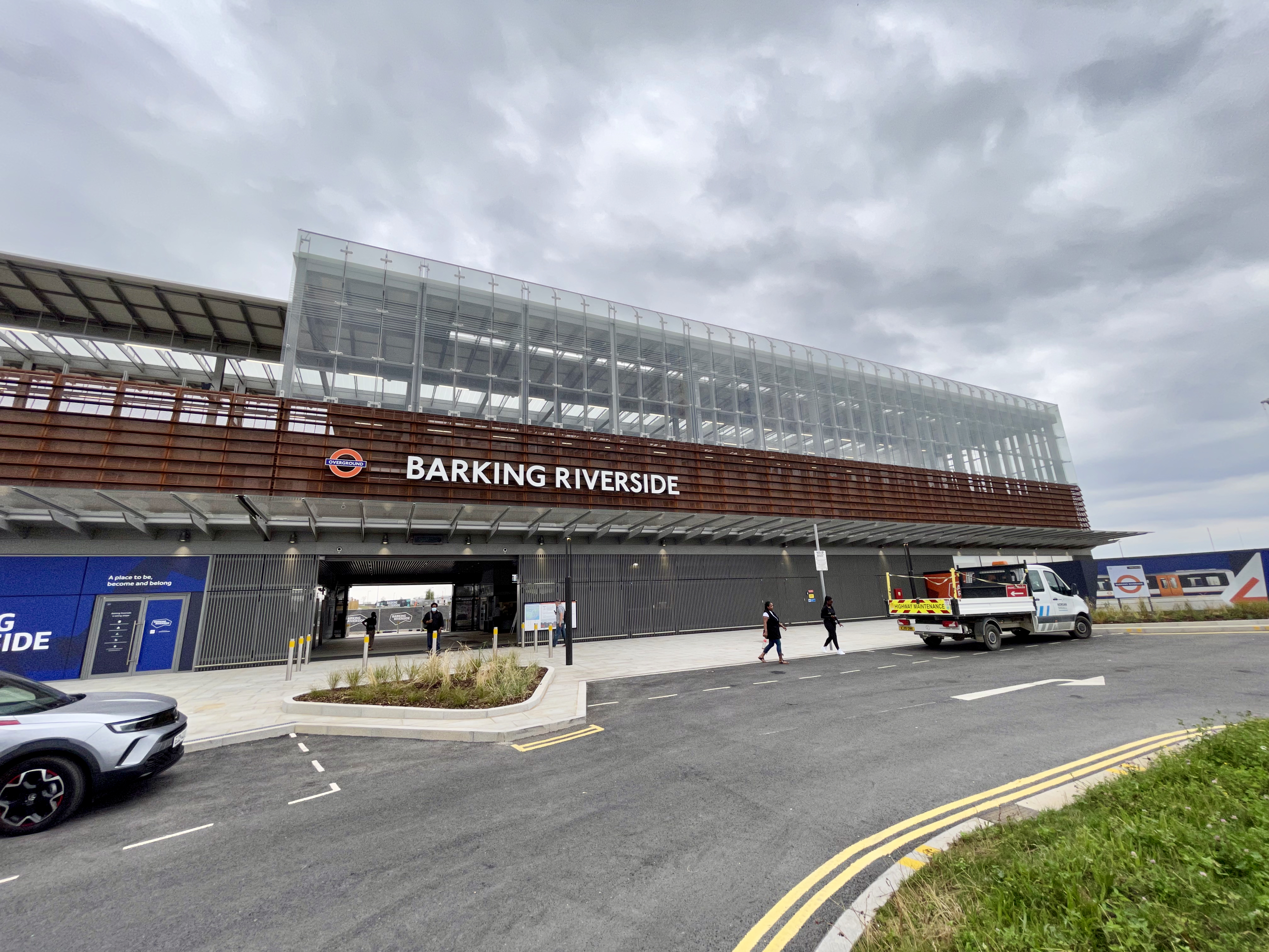
Barking Riverside railway station
Barking Riverside is a railway station in the London Borough of Barking and Dagenham, East London. The station serves the Barking Riverside regeneration...
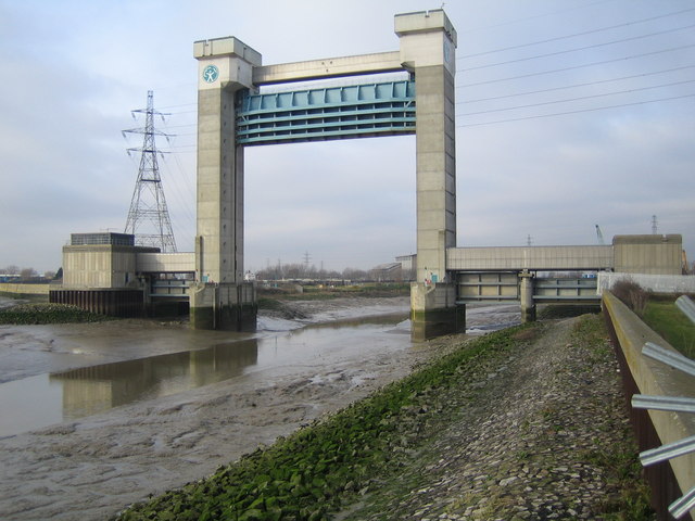
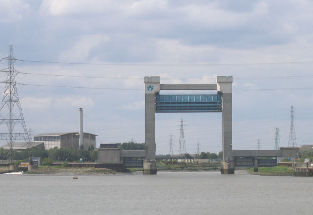
Barking Creek
Barking Creek joins the River Roding to the River Thames. It is fully tidal up to the Barking Barrage (a weir), which impounds a minimum water level through...

Barking fire
The Barking fire was a structure fire that occurred on 9 June 2019 at a newly built six storey block of flats named Samuel Garside House, located in De...

Barking Riverside
Barking Riverside is a mixed-use development in the area of Barking, east London, England, within the London Borough of Barking and Dagenham. It is being...
Nearby Amenities
Located within 500m of 51.513984,0.10790207Have you been to Barking Point?
Leave your review of Barking Point below (or comments, questions and feedback).