Benacre Ness

Coastal Marsh, Saltings in Suffolk East Suffolk

England

Benacre Ness

Sailors' and Fishermen's Bethel, Kessingland
Sailors' and Fishermen's Bethel, Kessingland Credit: Adrian S Pye

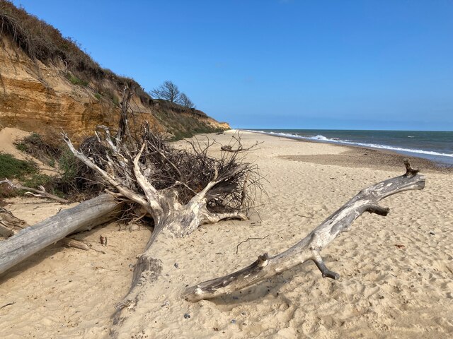
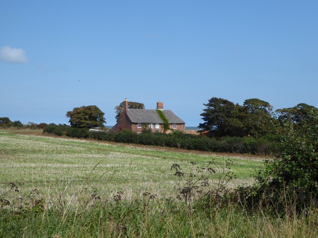
Benacre Ness is a coastal marsh and saltings located in Suffolk, England. It is situated between the villages of Covehithe and Easton Bavents, on the eastern coast of the county. The area is known for its natural beauty and diverse wildlife, making it a popular destination for nature enthusiasts and bird watchers.

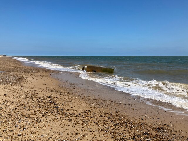
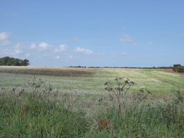
The marshland at Benacre Ness is primarily composed of saltmarsh, a unique coastal ecosystem formed by the accumulation of sediments brought in by tides. This creates a habitat suitable for various plant and animal species that can tolerate the high salt content of the soil. The area is characterized by vast expanses of reed beds, salt-tolerant grasses, and mudflats.

The diverse birdlife found at Benacre Ness is one of its main attractions. The area serves as an important breeding ground and wintering site for numerous species, including avocets, redshanks, dunlins, and little terns. The saltmarsh and mudflats provide an abundant food source for these birds, attracting them in large numbers.

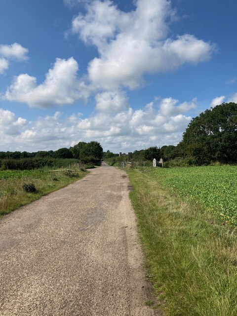
Visitors to Benacre Ness can explore the area via footpaths and bridleways, allowing them to appreciate the natural beauty of the marshland and enjoy stunning views of the coastline. The Suffolk Coast Path, a long-distance walking trail, also passes through the vicinity, offering opportunities for longer hikes.

It is worth noting that Benacre Ness is a protected area, managed by various conservation organizations, including the Suffolk Wildlife Trust. These efforts aim to preserve the unique habitat and ensure the continued existence of the diverse wildlife that calls this coastal marsh home.

If you have any feedback on the listing, please let us know in the comments section below.

Benacre Ness Images

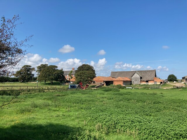
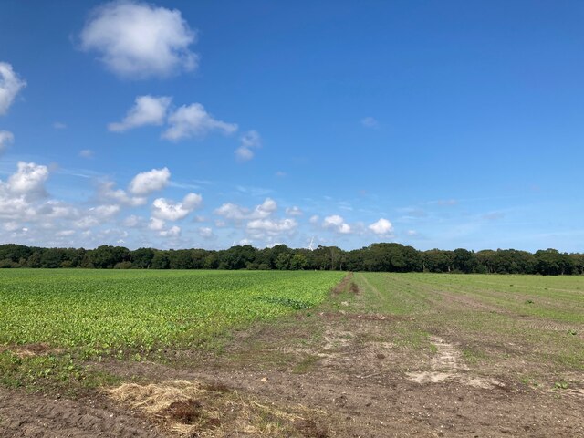
Images are sourced within 2km of 52.402448/1.7278874 or Grid Reference TM5384. Thanks to Geograph Open Source API. All images are credited.

Sailors' and Fishermen's Bethel, Kessingland
Fallen trees on the beach
Beach Farm
Beach Farm
Looking towards Amos's Skirts plantation The blades of the wind turbines are just visible above the trees
Looking towards Amos's Skirts plantation
The blades of the wind turbines are just visible above the trees
Looking towards Benacre Church
Pillbox on the beach near Benacre
Field near Beach Farm Kessingland is in the far distance
Field near Beach Farm
Kessingland is in the far distance
Pillbox near Beach Farm, Benacre I believe this is a Vickers Machine Gun Pillbox dating from WWII: <span class="nowrap"><a title="https://www.tracesofwar.com/sights/23917/Vickers-MG-Pillbox-Benacre.htm" rel="nofollow ugc noopener" href="https://www.tracesofwar.com/sights/23917/Vickers-MG-Pillbox-Benacre.htm">Link</a><img style="margin-left:2px;" alt="External link" title="External link - shift click to open in new window" src="https://s1.geograph.org.uk/img/external.png" width="10" height="10"/></span>
Pillbox near Beach Farm, Benacre
I believe this is a Vickers Machine Gun Pillbox dating from WWII: LinkExternal link
Farmhouse at Beach Farm
Kessingland Church Seen in the distance from the Suffolk Coast Path near Benacre
Kessingland Church
Seen in the distance from the Suffolk Coast Path near Benacre
Church of St. Edmund, Kessingland <span class="nowrap"><a title="https://historicengland.org.uk/listing/the-list/list-entry/1182858?section=official-list-entry" rel="nofollow ugc noopener" href="https://historicengland.org.uk/listing/the-list/list-entry/1182858?section=official-list-entry">Link</a><img style="margin-left:2px;" alt="External link" title="External link - shift click to open in new window" src="https://s1.geograph.org.uk/img/external.png" width="10" height="10"/></span>
Church of St. Edmund, Kessingland
An older style property in Kessingland
Sailors Home, Kessingland
Pillbox at Beach Farm
Pillbox in the Sea near Benacre It seems like this pillbox is moving further and further into the sea. In reality the pillbox remains in the same place and the cliff is moving westward.
Pillbox in the Sea near Benacre
It seems like this pillbox is moving further and further into the sea. In reality the pillbox remains in the same place and the cliff is moving westward.
Sugar Beet on the edge of the cliff When this crop was planted the cliff edge must have been elsewhere.  There has clearly been rapid coastal erosion in this area in the past few months.
Sugar Beet on the edge of the cliff
When this crop was planted the cliff edge must have been elsewhere. There has clearly been rapid coastal erosion in this area in the past few months.
Sand Martin Burrows Near Benacre
Bracken Rhizomes exposed by Coastal Erosion
Show me another place!

Benacre Ness is located at Grid Ref: TM5384 (Lat: 52.402448, Lng: 1.7278874)

Administrative County: Suffolk

District: East Suffolk

Police Authority: Suffolk

What 3 Words

///highbrow.rekindle.dried. Near Kessingland, Suffolk

Nearby Locations

Benacre Ness The Denes

Related Wikis

Kessingland

Kessingland is a village and civil parish in the East Suffolk district of the English county of Suffolk. It is located around 4 miles (6 km) south of Lowestoft...

The Sunrise Coast

The Sunrise Coast is a stretch of tourist coastline in the English county of Suffolk. The area includes the seaside resort towns of Lowestoft and Southwold...

Benacre Broad

Benacre Broad is an isolated coastal lagoon on the North Sea coast of the English county of Suffolk. It is located in the parish of Benacre around 1⁄2...

Africa Alive!

Africa Alive! Zoological Reserve, formerly known as Africa Alive! and Suffolk Wildlife Park, is a zoo located in Kessingland, Suffolk, UK. It is situated...

Nearby Amenities

Located within 500m of 52.402448,1.7278874
Source: PGS
Lat/Long: 52.3981443/1.7269885
Source: PGS
Lat/Long: 52.4000055/1.7280324
Source: PGS
Lat/Long: 52.4023977/1.7289731
Source: PGS
Lat/Long: 52.4036925/1.7294258
Source: PGS
Lat/Long: 52.4054563/1.7301797
Fast Food
Fish & Chippery
Cuisine: fish_and_chips
Lat/Long: 52.4058064/1.7251585
Self Service: yes
Shop: laundry
Lat/Long: 52.4059887/1.7252266
Pub
The Boathouse
Lat/Long: 52.4054828/1.7253901
The data included in this document is from www.openstreetmap.org. The data is made available under ODbL.

Have you been to Benacre Ness?

Leave your review of Benacre Ness below (or comments, questions and feedback).