Bridgefoot Marshes
Coastal Marsh, Saltings in Suffolk East Suffolk
England
Bridgefoot Marshes
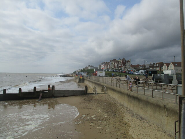
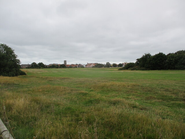
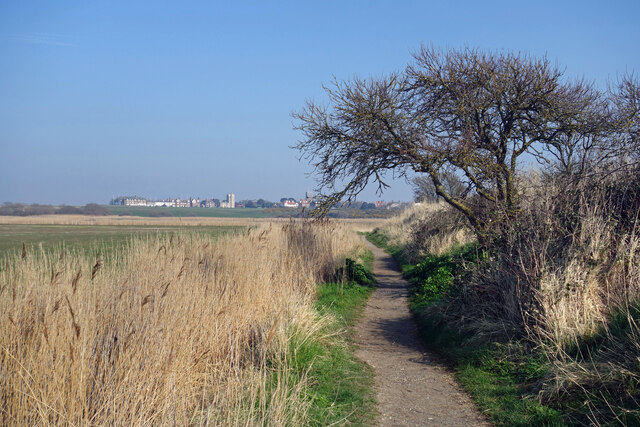
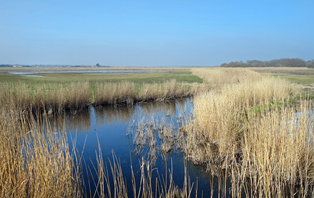
Bridgefoot Marshes is a coastal marshland located in Suffolk, England. Spanning over a vast area, the marshes are known for their diverse and unique ecosystem, making them a significant site for nature conservation. The marshes consist of both salt marshes and saltings, which are areas of land regularly flooded by the sea.
The salt marshes are characterized by their rich and fertile soil, which is composed of fine sediment deposited by the tides. This soil supports a variety of halophytic plants, specially adapted to tolerate the high salt content. Common plant species found in the salt marshes include sea lavender, cordgrass, and samphire. These plants provide important habitats for a wide range of marine and bird species, making Bridgefoot Marshes a popular destination for birdwatchers.
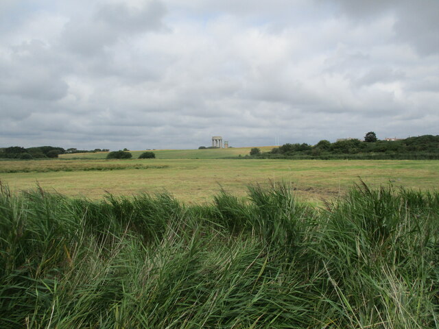
The saltings, on the other hand, are areas that are occasionally flooded by the sea but are typically above the high tide level. These areas are home to different plant species, including glasswort and sea purslane. The saltings also support a diverse array of insects, invertebrates, and small mammals, creating a thriving food chain within the marshes.
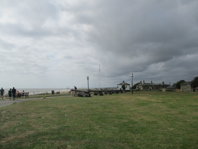
In addition to its biological significance, Bridgefoot Marshes also holds historical importance. The marshes are believed to have been used for grazing livestock for centuries, and evidence of ancient dykes and earthworks can still be seen. These remnants provide insights into the past land use and management practices in the area.
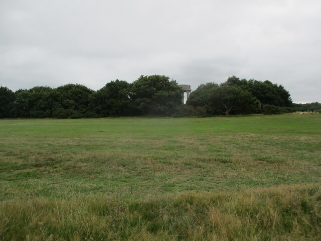
Overall, Bridgefoot Marshes in Suffolk is a captivating and valuable coastal marshland that supports a wide range of plant and animal species, making it a vital site for conservation and a haven for nature enthusiasts.
If you have any feedback on the listing, please let us know in the comments section below.
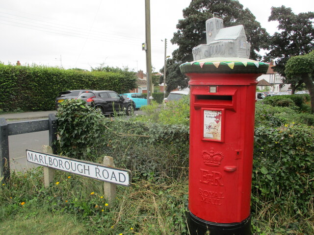
Bridgefoot Marshes Images
Images are sourced within 2km of 52.334233/1.6761682 or Grid Reference TM5077. Thanks to Geograph Open Source API. All images are credited.


Bridgefoot Marshes is located at Grid Ref: TM5077 (Lat: 52.334233, Lng: 1.6761682)
Administrative County: Suffolk
District: East Suffolk
Police Authority: Suffolk
What 3 Words
///sweeper.overgrown.bronze. Near Southwold, Suffolk
Nearby Locations
Related Wikis

Southwold railway station
Southwold railway station was located in Southwold, Suffolk. It closed in 1929, 50 years after it had opened for passenger traffic. The station was demolished...

Reydon
Reydon is a village and civil parish, 1.0 mile (1.6 km) north-west of Southwold and 2.5 miles (4.0 km) south-east of Wangford, in the East Suffolk district...

St Edmund's Church, Southwold
St Edmund's Church, Southwold is a Grade I listed parish church in the Church of England in Southwold, Suffolk. == History == The parish church of Southwold...
Easton Bavents
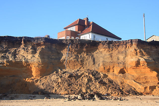
Easton Bavents is a hamlet and former civil parish, now in the parish of Reydon, in the East Suffolk district of the county of Suffolk, England. Once an...
Adnams
Adnams is a regional brewery founded in 1872 in Southwold, Suffolk, England, by George and Ernest Adnams. It produces cask ale and bottled beers. Annual...

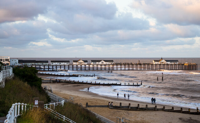
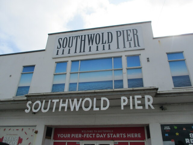
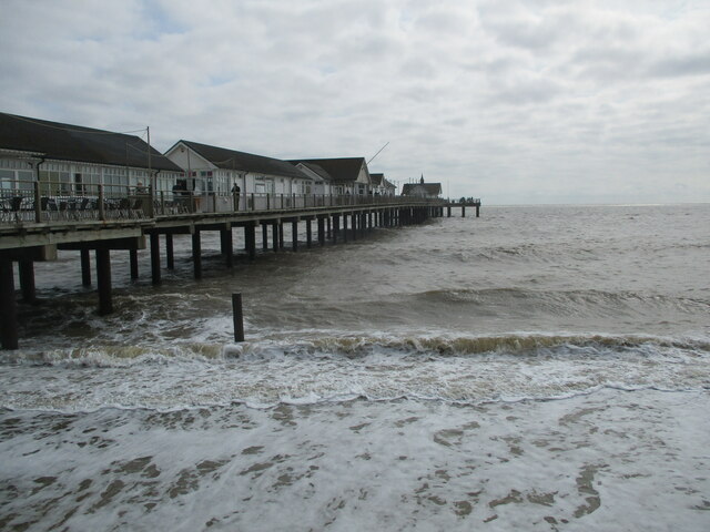
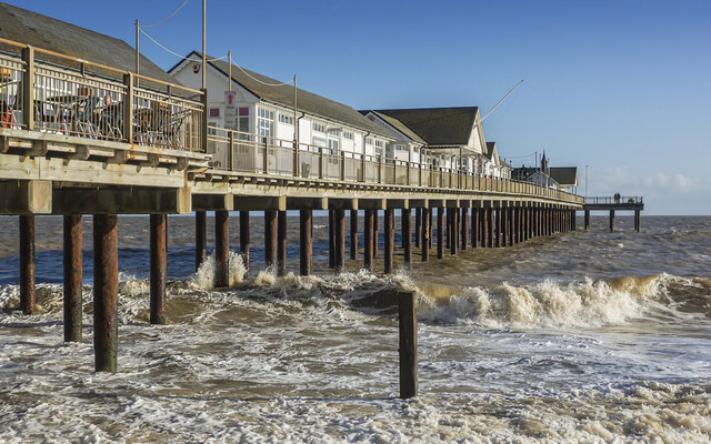
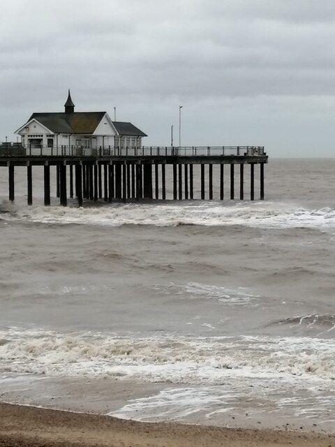
Southwold Pier
Southwold Pier is a pier in the coastal town of Southwold in the English county of Suffolk. It is on the northern edge of the town and extends 190 metres...
Southwold
Southwold is a seaside town on the North Sea in Suffolk, England. It lies at the mouth of the River Blyth in the Suffolk Coast and Heaths Area of Outstanding...

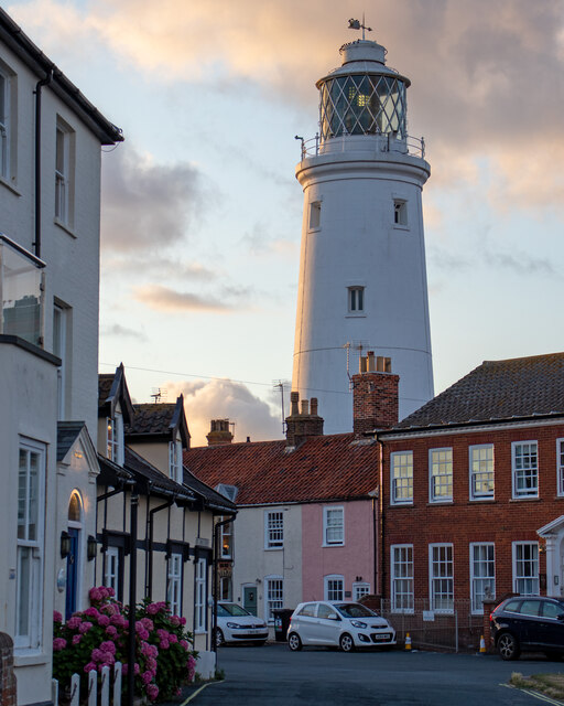
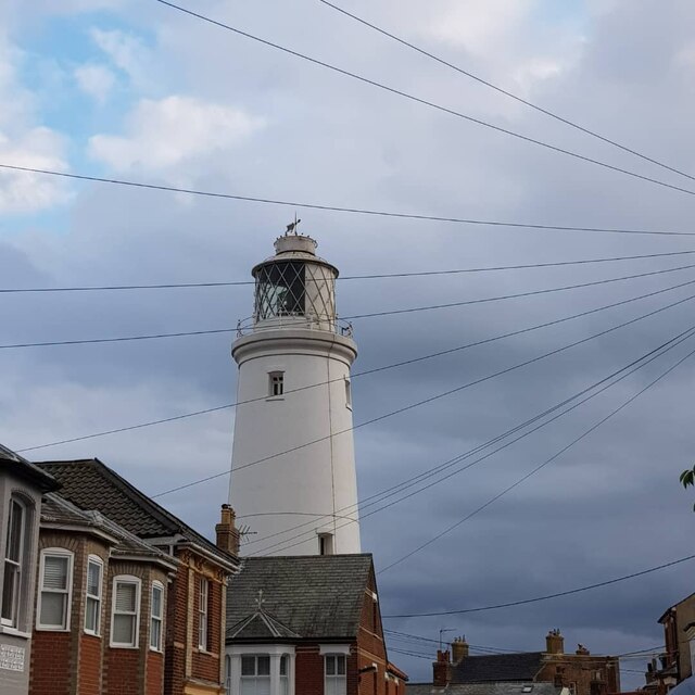
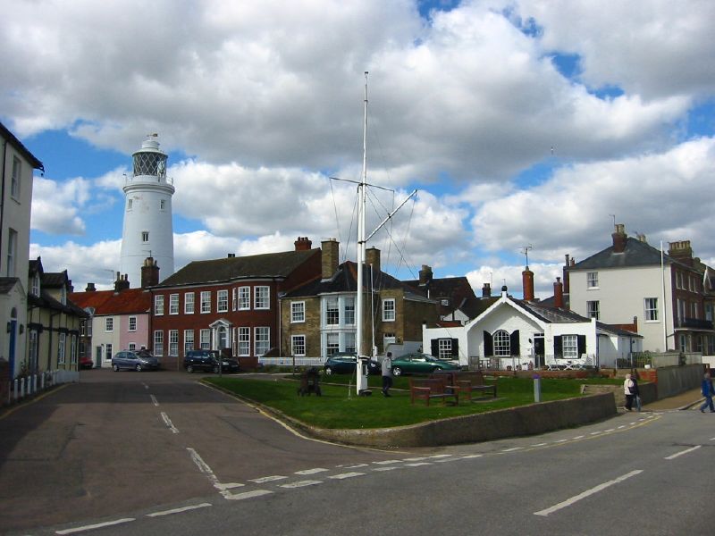
Southwold Lighthouse
Southwold Lighthouse is a lighthouse operated by Trinity House in the centre of Southwold in Suffolk, England. It stands on the North Sea coast, acting...
Nearby Amenities
Located within 500m of 52.334233,1.6761682Have you been to Bridgefoot Marshes?
Leave your review of Bridgefoot Marshes below (or comments, questions and feedback).