Beighton Marshes
Coastal Marsh, Saltings in Norfolk Great Yarmouth
England
Beighton Marshes
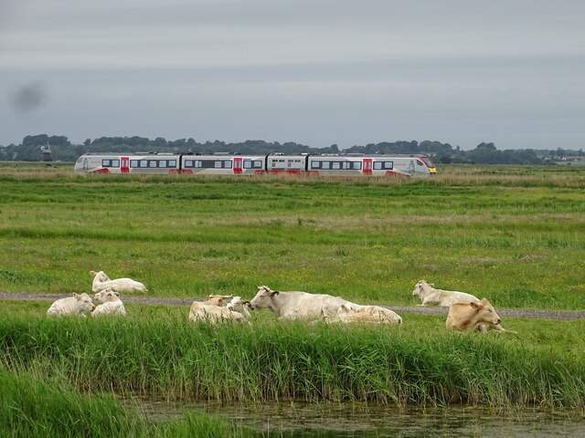
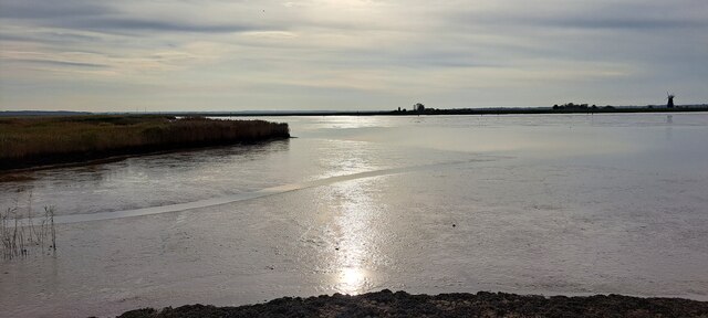
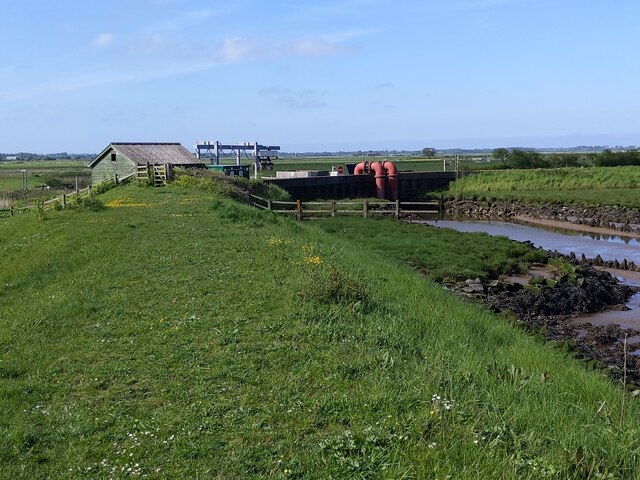
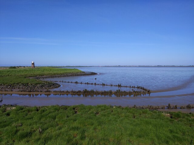
Beighton Marshes, located in Norfolk, England, is a coastal marshland characterized by its unique ecosystem and diverse wildlife. Stretching across an area of approximately 250 hectares, the marshes consist of a combination of marshland and saltings, creating a rich and varied habitat.
The marshland itself is characterized by areas of wetland vegetation, including reeds, sedges, and grasses, which thrive in the moist conditions. These plants provide shelter and food for a variety of bird species, making Beighton Marshes a popular destination for birdwatchers. Species such as bitterns, marsh harriers, and reed buntings can often be spotted in the area.
Adjacent to the marshland are the saltings, which are areas of saltmarsh dominated by salt-tolerant plants like samphire and sea lavender. These saltings are an important habitat for wading birds, including avocets and redshanks, which can be seen foraging in the mudflats at low tide.
Beighton Marshes benefit from their coastal location, as the proximity to the sea brings a constant supply of nutrients and creates a dynamic environment. The marshes are also important for their role in flood prevention, as they act as a natural buffer against storm surges and absorb excess rainfall.
The area is managed by the Norfolk Wildlife Trust, which works to conserve and enhance the unique biodiversity of the site. Accessible walking trails and bird hides have been established, allowing visitors to explore the marshes while minimizing disturbance to the wildlife. Beighton Marshes is a valuable and ecologically significant area, offering a glimpse into the rich and diverse coastal ecosystems of Norfolk.
If you have any feedback on the listing, please let us know in the comments section below.
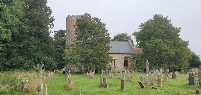
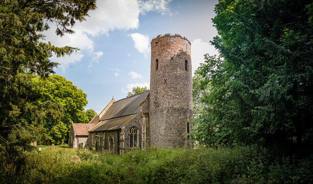
Beighton Marshes Images
Images are sourced within 2km of 52.600136/1.6442021 or Grid Reference TG4606. Thanks to Geograph Open Source API. All images are credited.


Beighton Marshes is located at Grid Ref: TG4606 (Lat: 52.600136, Lng: 1.6442021)
Administrative County: Norfolk
District: Great Yarmouth
Police Authority: Norfolk
What 3 Words
///ombudsman.mimes.lifetimes. Near Bradwell, Norfolk
Nearby Locations
Related Wikis

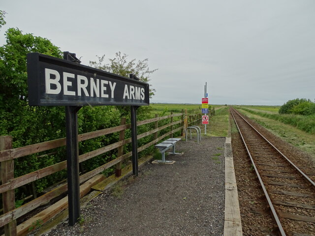
Berney Arms
Berney Arms is a settlement on the north bank of the River Yare, close to Breydon Water in the English county of Norfolk. It is part of the civil parish...

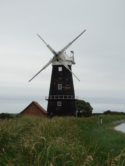
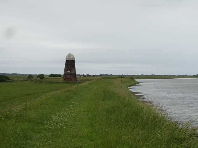
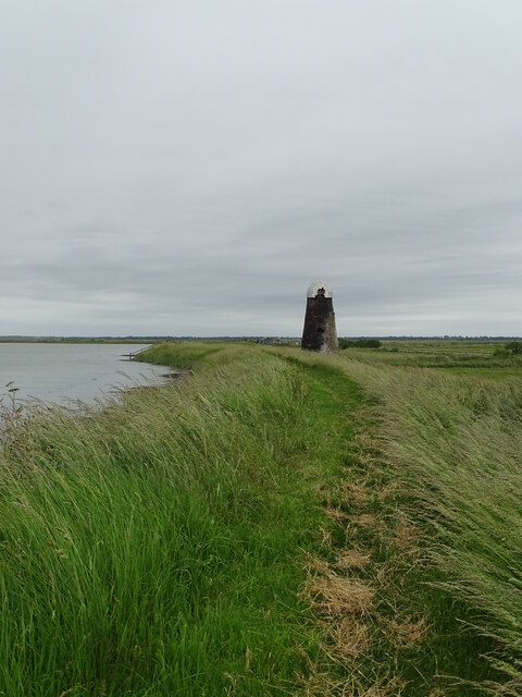
Lockgate Mill
Lockgate Mill also referred to locally and historically as Freethorpe Mill, 'Banham's Black Mill' and 'Duffel's Mill' is a windpump located on the Halvergate...

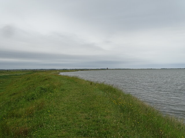
River Yare
The River Yare is a river in the English county of Norfolk. In its lower reaches it is one of the principal navigable waterways of The Broads and connects...

Berney Arms railway station
Berney Arms railway station is on the Wherry Lines in the East of England, serving the settlement of Berney Arms on the Halvergate Marshes in Norfolk....
Nearby Amenities
Located within 500m of 52.600136,1.6442021Have you been to Beighton Marshes?
Leave your review of Beighton Marshes below (or comments, questions and feedback).