Fritton Marshes

Coastal Marsh, Saltings in Suffolk Great Yarmouth

England

Fritton Marshes

Pettingell's Mill at Seven Mile House <span class="nowrap"><a title="https://historicengland.org.uk/listing/the-list/list-entry/1050526?section=official-list-entry" rel="nofollow ugc noopener" href="https://historicengland.org.uk/listing/the-list/list-entry/1050526?section=official-list-entry">Link</a><img style="margin-left:2px;" alt="External link" title="External link - shift click to open in new window" src="https://s1.geograph.org.uk/img/external.png" width="10" height="10"/></span>
Pettingell's Mill at Seven Mile House Credit: Sandy Gerrard

Fritton Marshes is a coastal marshland located in Suffolk, England. Situated in the southern part of the county, it is spread across an area of approximately 3.5 square kilometers. The marshes are part of the broader Norfolk and Suffolk Broads, which is a network of navigable lakes and rivers.

Fritton Marshes are characterized by their unique landscape, consisting of a mix of marshland and saltings. Marshland refers to the wet, low-lying areas that are periodically flooded by tidal waters, while saltings are areas of land that are periodically flooded by seawater and consist of salt-tolerant vegetation.

The marshes are of significant ecological importance, providing a habitat for a diverse range of plant and animal species. The area is particularly known for its birdlife, with several species of waders and waterfowl making their home here. Visitors to Fritton Marshes can often spot lapwings, redshanks, and avocets, among other bird species.

The marshes also play a crucial role in flood prevention and water management in the region. The vegetation and terrain of the marshland act as natural buffers, absorbing excess water during periods of heavy rainfall or high tides.

Fritton Marshes offer a tranquil escape for nature enthusiasts and outdoor lovers. The area is popular for walking, birdwatching, and photography. Visitors can explore the various footpaths and trails that crisscross the marshes, allowing them to experience the unique beauty and biodiversity of this coastal landscape.

If you have any feedback on the listing, please let us know in the comments section below.

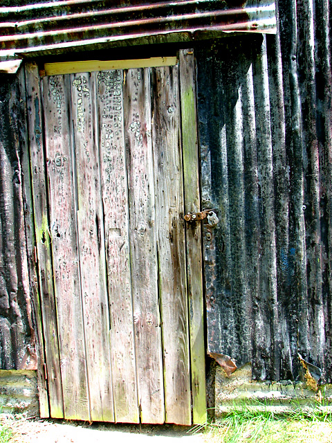
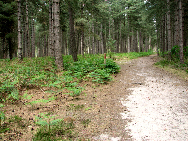
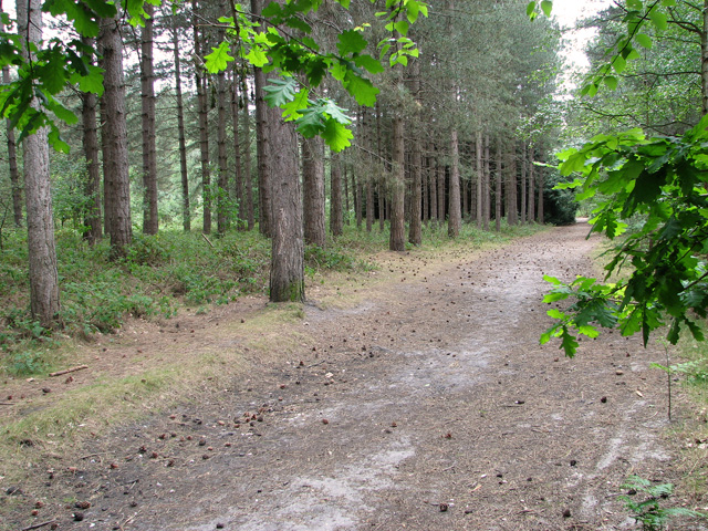
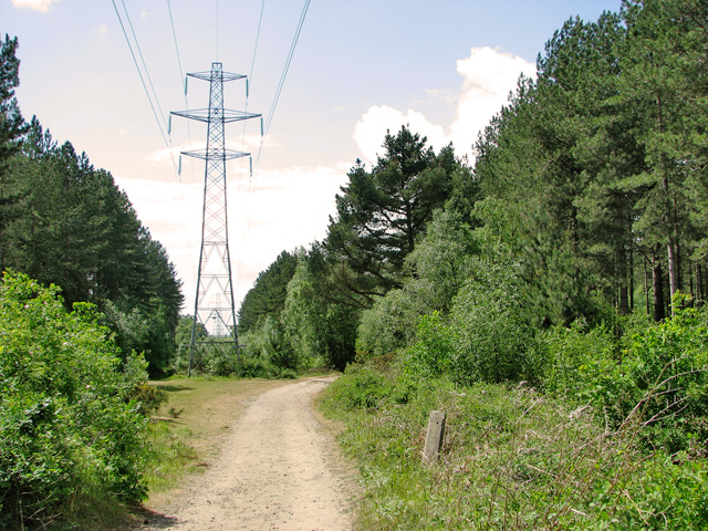
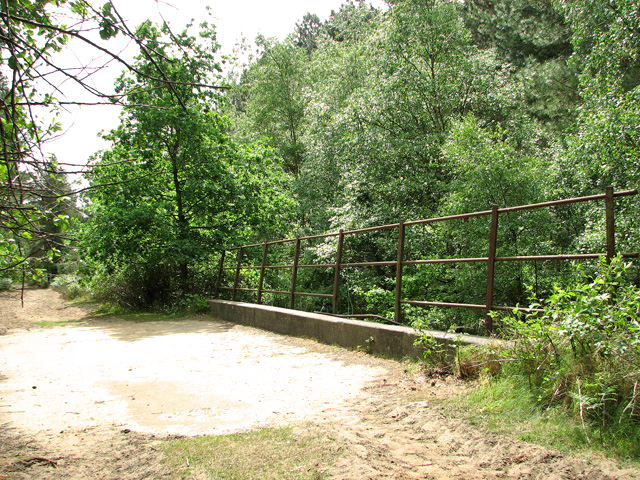
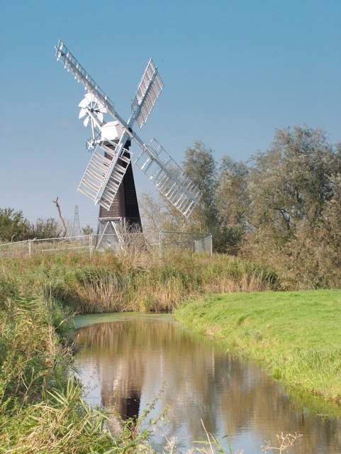
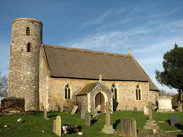
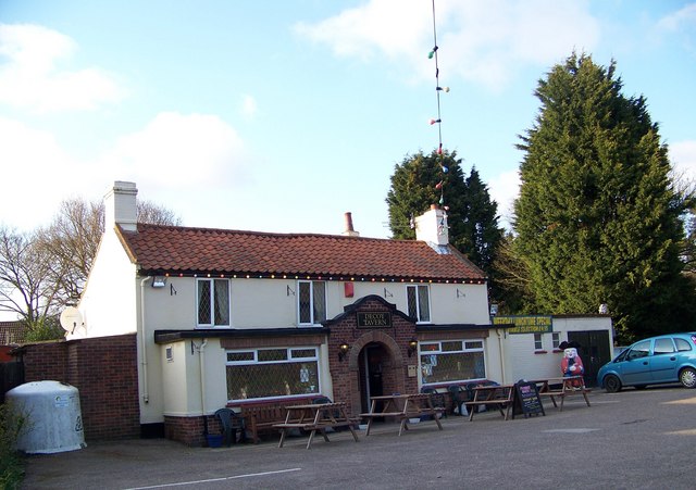
Fritton Marshes Images

Images are sourced within 2km of 52.545861/1.6161231 or Grid Reference TG4500. Thanks to Geograph Open Source API. All images are credited.

Pettingell's Mill at Seven Mile House <span class="nowrap"><a title="https://historicengland.org.uk/listing/the-list/list-entry/1050526?section=official-list-entry" rel="nofollow ugc noopener" href="https://historicengland.org.uk/listing/the-list/list-entry/1050526?section=official-list-entry">Link</a><img style="margin-left:2px;" alt="External link" title="External link - shift click to open in new window" src="https://s1.geograph.org.uk/img/external.png" width="10" height="10"/></span>
Pettingell's Mill at Seven Mile House
Toft Monks Windpump <span class="nowrap"><a title="https://historicengland.org.uk/listing/the-list/list-entry/1050525?section=official-list-entry" rel="nofollow ugc noopener" href="https://historicengland.org.uk/listing/the-list/list-entry/1050525?section=official-list-entry">Link</a><img style="margin-left:2px;" alt="External link" title="External link - shift click to open in new window" src="https://s1.geograph.org.uk/img/external.png" width="10" height="10"/></span>
Toft Monks Windpump
Pine cones on path through Waveney Forest After years of local objections to turn this area into a huge gravel extraction pit, the woodland has recently been excluded from a list of sites required for extraction.
Pine cones on path through Waveney Forest
After years of local objections to turn this area into a huge gravel extraction pit, the woodland has recently been excluded from a list of sites required for extraction.
Footpath marker beside bridleway in Waveney Forest After years of local objections to turn this area into a huge gravel extraction pit, the woodland has recently been excluded from a list of sites required for extraction.
Footpath marker beside bridleway in Waveney Forest
After years of local objections to turn this area into a huge gravel extraction pit, the woodland has recently been excluded from a list of sites required for extraction.
Forestry tractor parked in Waveney Forest After years of local objections to turn this area into a huge gravel extraction pit, the woodland has recently been excluded from a list of sites required for extraction.
Forestry tractor parked in Waveney Forest
After years of local objections to turn this area into a huge gravel extraction pit, the woodland has recently been excluded from a list of sites required for extraction.
Bundles of reeds stacked beside a track in Waveney Forest After years of local objections to turn this area into a huge gravel extraction pit, the woodland has recently been excluded from a list of sites required for extraction.
Bundles of reeds stacked beside a track in Waveney Forest
After years of local objections to turn this area into a huge gravel extraction pit, the woodland has recently been excluded from a list of sites required for extraction.
Rusty old shed in Waveney Forest Probably the only intact survivor of the WW2 infantry training camp.
Rusty old shed in Waveney Forest
Probably the only intact survivor of the WW2 infantry training camp.
Rusty old shed in Waveney Forest Probably the only intact survivor of the WW2 infantry training camp.
Rusty old shed in Waveney Forest
Probably the only intact survivor of the WW2 infantry training camp.
Weathered old shed door, Waveney Forest For a full view of this location see > <a title="https://www.geograph.org.uk/photo/2421525" href="https://www.geograph.org.uk/photo/2421525">Link</a>.
Weathered old shed door, Waveney Forest
For a full view of this location see > Link.
Path through Waveney Forest After years of local objections to turn this area into a huge gravel extraction pit, the woodland has recently been excluded from a list of sites required for extraction.
Path through Waveney Forest
After years of local objections to turn this area into a huge gravel extraction pit, the woodland has recently been excluded from a list of sites required for extraction.
One of many paths traversing Waveney Forest After years of local objections to turn this area into a huge gravel extraction pit, the woodland has recently been excluded from a list of sites required for extraction.
One of many paths traversing Waveney Forest
After years of local objections to turn this area into a huge gravel extraction pit, the woodland has recently been excluded from a list of sites required for extraction.
A junction of paths in Waveney Forest After years of local objections to turn this area into a huge gravel extraction pit, the woodland has recently been excluded from a list of sites required for extraction.
A junction of paths in Waveney Forest
After years of local objections to turn this area into a huge gravel extraction pit, the woodland has recently been excluded from a list of sites required for extraction.
One of the many paths traversing Waveney Forest After years of local objections to turn this area into a huge gravel extraction pit, the woodland has recently been excluded from a list of sites required for extraction.
One of the many paths traversing Waveney Forest
After years of local objections to turn this area into a huge gravel extraction pit, the woodland has recently been excluded from a list of sites required for extraction.
Electricity pylons in Waveney Forest The East Suffolk railway used to run past here and the concrete post of an old crossing gate can be seen in the foreground (at right).
Electricity pylons in Waveney Forest
The East Suffolk railway used to run past here and the concrete post of an old crossing gate can be seen in the foreground (at right).
East Suffolk line through Waveney Forest - Forest Lodge The bungalow now called Forest Lodge once used to be a crossing keeper's cottage on the East Suffolk line. It was built in 1859 and is one of the earliest buildings with a cavity wall for damp proofing.

The line, initially running from Beccles to Halesworth, opened in 1854.  It was later continued north to Haddiscoe on what is now part of the Wherry Lines, and in 1859 was opened to reach as far south as Ipswich and north to Great Yarmouth.  The Beccles to Lowestoft branch line was opened in the same year.  In 1862 it became part of the Great Eastern Railway (GER).
East Suffolk line through Waveney Forest - Forest Lodge
The bungalow now called Forest Lodge once used to be a crossing keeper's cottage on the East Suffolk line. It was built in 1859 and is one of the earliest buildings with a cavity wall for damp proofing. The line, initially running from Beccles to Halesworth, opened in 1854. It was later continued north to Haddiscoe on what is now part of the Wherry Lines, and in 1859 was opened to reach as far south as Ipswich and north to Great Yarmouth. The Beccles to Lowestoft branch line was opened in the same year. In 1862 it became part of the Great Eastern Railway (GER).
East Suffolk line through Waveney Forest The overgrown trackbed south of the former level crossing at Forest Lodge.  

The line, initially running from Beccles to Halesworth, opened in 1854.  It was later continued north to Haddiscoe on what is now part of the Wherry Lines, and in 1859 was opened to reach as far south as Ipswich and north to Great Yarmouth.  The Beccles to Lowestoft branch line was opened in the same year.  In 1862 it became part of the Great Eastern Railway (GER).
East Suffolk line through Waveney Forest
The overgrown trackbed south of the former level crossing at Forest Lodge. The line, initially running from Beccles to Halesworth, opened in 1854. It was later continued north to Haddiscoe on what is now part of the Wherry Lines, and in 1859 was opened to reach as far south as Ipswich and north to Great Yarmouth. The Beccles to Lowestoft branch line was opened in the same year. In 1862 it became part of the Great Eastern Railway (GER).
East Suffolk line through Waveney Forest - bridged culvert The bridge carried the railway over a floodwater culvert. The line, initially running from Beccles to Halesworth, opened in 1854.  It was later continued north to Haddiscoe on what is now part of the Wherry Lines, and in 1859 was opened to reach as far south as Ipswich and north to Great Yarmouth.  The Beccles to Lowestoft branch line was opened in the same year.  In 1862 it became part of the Great Eastern Railway (GER).
East Suffolk line through Waveney Forest - bridged culvert
The bridge carried the railway over a floodwater culvert. The line, initially running from Beccles to Halesworth, opened in 1854. It was later continued north to Haddiscoe on what is now part of the Wherry Lines, and in 1859 was opened to reach as far south as Ipswich and north to Great Yarmouth. The Beccles to Lowestoft branch line was opened in the same year. In 1862 it became part of the Great Eastern Railway (GER).
Show me another place!

Fritton Marshes is located at Grid Ref: TG4500 (Lat: 52.545861, Lng: 1.6161231)

Administrative County: Norfolk

District: Great Yarmouth

Police Authority: Norfolk

What 3 Words

///walls.amplified.mammoths. Near Reedham, Norfolk

Related Wikis

St Olaves Priory, Herringfleet

Herringfleet Priory (also St Olave's Priory) was an Augustinian priory of Black Canons located in St Olaves, 6 miles (9.7 km) north-west of Lowestoft in...

St Olaves

St Olaves is a village in the English county of Norfolk. The village is situated on the River Waveney, 6 miles (10 km) south-west of the town of Great...

St Olaves railway station

St Olaves was a station in St. Olaves. It was on the Great Eastern Railway between Great Yarmouth and London. It was first opened in June 1859. After just...

Fritton and St Olaves

Fritton and St Olaves is a civil parish in the English county of Norfolk. The parish comprises the villages of Fritton and St. Olaves, together with the...

Haddiscoe railway station (Norfolk Railway)

This was the original Haddiscoe railway station serving Haddiscoe, Norfolk. It was opened in 1847 by the Norfolk Railway and closed in 1904. Upon closure...

Fritton, Great Yarmouth

Fritton is a village and former civil parish in county of Norfolk, England. The village is located 6 miles (9.7 km) south-west of Great Yarmouth and 16...

Yarmouth–Beccles line

The Yarmouth–Beccles line was a railway line which linked the Suffolk market town of Beccles with the Norfolk coastal resort of Yarmouth. Forming part...

Haddiscoe railway station

Haddiscoe railway station (formerly Haddiscoe Low Level) is on the Wherry Lines in Norfolk, England, named after the village of Haddiscoe, some 2 miles...

Nearby Amenities

Located within 500m of 52.545861,1.6161231
Power: tower
Lat/Long: 52.543222/1.615071
Power: tower
Lat/Long: 52.54409/1.617782
Power: tower
Ref: PPA 93
Lat/Long: 52.543605/1.614038
Power: tower
Ref: PPA 94
Lat/Long: 52.544817/1.617943
Power: tower
Lat/Long: 52.545158/1.621149
Power: tower
Ref: PPA 95
Lat/Long: 52.545959/1.621696
The data included in this document is from www.openstreetmap.org. The data is made available under ODbL.

Have you been to Fritton Marshes?

Leave your review of Fritton Marshes below (or comments, questions and feedback).