Boulge Hall Marshes

Coastal Marsh, Saltings in Suffolk East Suffolk

England

Boulge Hall Marshes

Red House Farm, near Sudbourne, Suffolk Looking due east.  On the horizon can just be seen the shingle bank and North Sea.
Red House Farm, near Sudbourne, Suffolk Credit: John Winfield

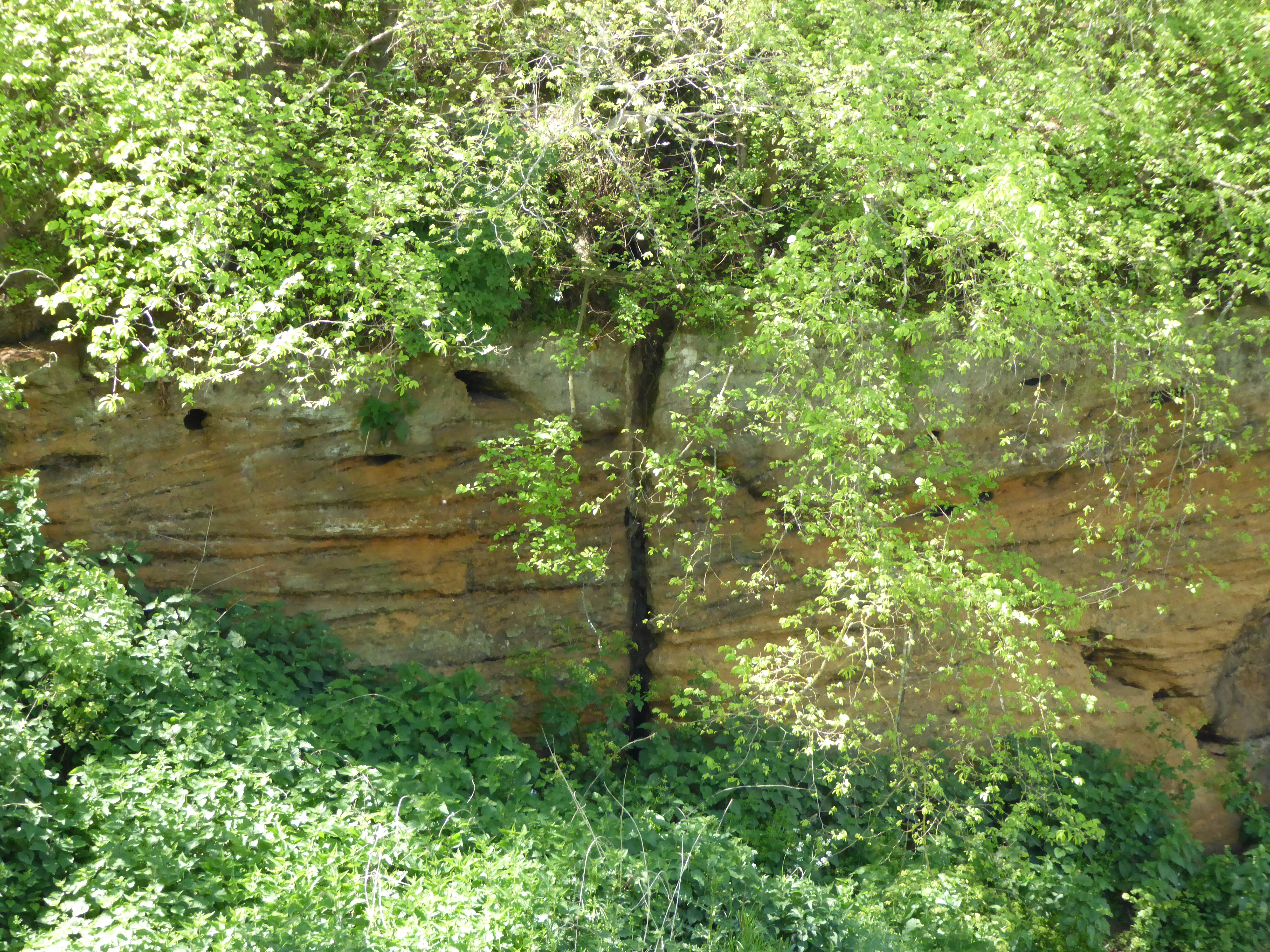
Boulge Hall Marshes is a coastal marshland located in the county of Suffolk, England. Situated near the village of Boulge, these marshes are part of the Suffolk Coast and Heaths Area of Outstanding Natural Beauty. The marshes are bordered by the East River Deben to the south and stretch towards the North Sea.

Covering an area of approximately 40 hectares, Boulge Hall Marshes consist of a diverse range of habitats including saltmarshes, mudflats, and reed beds. These habitats provide a crucial ecosystem for a variety of plant and animal species, many of which are rare and protected. The marshes are home to numerous bird species, including wading birds such as curlews, redshanks, and avocets, as well as various species of ducks and geese.

The tidal nature of the marshes means that they are subject to regular flooding, creating a dynamic environment that is constantly changing. This makes Boulge Hall Marshes an important site for tidal habitat conservation and restoration. The marshes also play a vital role in flood prevention, acting as a natural buffer zone and absorbing excess water during high tides and storms.

The marshes are accessible to the public, offering opportunities for nature enthusiasts, birdwatchers, and walkers to explore the rich biodiversity of the area. Several footpaths and trails provide access to the marshes, allowing visitors to observe the wildlife and enjoy the tranquil beauty of the Suffolk coastline.

If you have any feedback on the listing, please let us know in the comments section below.

Boulge Hall Marshes Images

Images are sourced within 2km of 52.122343/1.5764004 or Grid Reference TM4453. Thanks to Geograph Open Source API. All images are credited.

Red House Farm, near Sudbourne, Suffolk Looking due east.  On the horizon can just be seen the shingle bank and North Sea.
Red House Farm, near Sudbourne, Suffolk
Looking due east. On the horizon can just be seen the shingle bank and North Sea.
"The Perfect Lawn" - near Sudbourne, Suffolk The light sandy soil in this area is ideal for growing lawn turf. They even manage to get the stripe effect of the perfect lawn!
"The Perfect Lawn" - near Sudbourne, Suffolk
The light sandy soil in this area is ideal for growing lawn turf. They even manage to get the stripe effect of the perfect lawn!
A walk to the River Alde, Suffolk This photograph shows the track/public footpath that leads to Westrow Reach on the River Alde in Suffolk. Approximately 100m behind the photographer’s viewpoint is the unclassified road from which, at a right-angled bend, the track begins. Ahead the track turns off to Cowton Farm whilst the public footpath continues towards the river.
A walk to the River Alde, Suffolk
This photograph shows the track/public footpath that leads to Westrow Reach on the River Alde in Suffolk. Approximately 100m behind the photographer’s viewpoint is the unclassified road from which, at a right-angled bend, the track begins. Ahead the track turns off to Cowton Farm whilst the public footpath continues towards the river.
A walk to the River Alde, Suffolk This photograph shows the public footpath that leads to Westrow Reach on the River Alde in Suffolk. Approximately 100m behind the photographer’s viewpoint is the point at which the track/public footpath divided, one branch (the track) leading north to Cowton Farm and this branch (the footpath) continuing on towards the river. The OS map records this as a track almost all the way to the river, however just a little further ahead the path becomes impassable to any vehicle except, perhaps, a bicycle.
A walk to the River Alde, Suffolk
This photograph shows the public footpath that leads to Westrow Reach on the River Alde in Suffolk. Approximately 100m behind the photographer’s viewpoint is the point at which the track/public footpath divided, one branch (the track) leading north to Cowton Farm and this branch (the footpath) continuing on towards the river. The OS map records this as a track almost all the way to the river, however just a little further ahead the path becomes impassable to any vehicle except, perhaps, a bicycle.
A Walk to the River Alde, Suffolk This photograph is looking over a cornfield towards, in the middle distance, the River Alde. Beyond the river are the Aldeburgh Marshes and in the far distance (look for the white dome standing just above the tree-line) is the Sizewell nuclear power station. In the distance, and to the right of the picture, are the outskirts of Aldeburgh
A Walk to the River Alde, Suffolk
This photograph is looking over a cornfield towards, in the middle distance, the River Alde. Beyond the river are the Aldeburgh Marshes and in the far distance (look for the white dome standing just above the tree-line) is the Sizewell nuclear power station. In the distance, and to the right of the picture, are the outskirts of Aldeburgh
A Walk to the River Alde, Suffolk This photograph is of Westrow Reach looking inland towards Short Reach on the River Alde, Suffolk. In the middle distance on the left is a cornfield that forms the edge of the cultivated land. From the field to the river the land is scrub and marsh.
A Walk to the River Alde, Suffolk
This photograph is of Westrow Reach looking inland towards Short Reach on the River Alde, Suffolk. In the middle distance on the left is a cornfield that forms the edge of the cultivated land. From the field to the river the land is scrub and marsh.
Wartime Radio/Radar station on Orford Ness Taken from about 1 mile south of Martello Tower at Aldeburgh
Wartime Radio/Radar station on Orford Ness
Taken from about 1 mile south of Martello Tower at Aldeburgh
Orford Ness, Lantern Marsh Shingle Ridge Here at the north end of Orford Ness, the shingle ridge is only 50-70m wide. The photo shows the scarce sea pea in the foreground. Orford Ness is owned and cared for by The National Trust.
Orford Ness, Lantern Marsh Shingle Ridge
Here at the north end of Orford Ness, the shingle ridge is only 50-70m wide. The photo shows the scarce sea pea in the foreground. Orford Ness is owned and cared for by The National Trust.
Private - no public right of way Sign on the gate barring access along this sandy track.
Private - no public right of way
Sign on the gate barring access along this sandy track.
Telegraph poles marching over farmland Land adjacent to Crag Farm.
Telegraph poles marching over farmland
Land adjacent to Crag Farm.
A Sudden View A view of Sudbourne Marshes from a gap in the tall hedgerow.
A Sudden View
A view of Sudbourne Marshes from a gap in the tall hedgerow.
Bottoms up! Sheep grazing on marshland.
Bottoms up!
Sheep grazing on marshland.
Crag Farmhouse This imposing farmhouse has fantastic views over Sudbourne Marshes.
Crag Farmhouse
This imposing farmhouse has fantastic views over Sudbourne Marshes.
Job done! This farm machinery sits in a field adjacent to Sudbourne Marshes.
Job done!
This farm machinery sits in a field adjacent to Sudbourne Marshes.
Cows and masts Cows grazing with the masts at Orford Ness in the background near to Orford Suffolk.
Cows and masts
Cows grazing with the masts at Orford Ness in the background near to Orford Suffolk.
Blackstakes Reach Looking south west along the River Alde to Blackstakes Reach near to Orford Suffolk.
Blackstakes Reach
Looking south west along the River Alde to Blackstakes Reach near to Orford Suffolk.
Earth embankment Looking north east along the earth embankment at the edge of the Sudbourn marshes. In the distance across the River Alde is the northern end of Orford Ness Suffolk.
Earth embankment
Looking north east along the earth embankment at the edge of the Sudbourn marshes. In the distance across the River Alde is the northern end of Orford Ness Suffolk.
Pump house As marked on the O.S. 1:25:000 map as a pump house Sudbourne Marshes near to Orford Suffolk.
Pump house
As marked on the O.S. 1:25:000 map as a pump house Sudbourne Marshes near to Orford Suffolk.
Show me another place!

Boulge Hall Marshes is located at Grid Ref: TM4453 (Lat: 52.122343, Lng: 1.5764004)

Administrative County: Suffolk

District: East Suffolk

Police Authority: Suffolk

What 3 Words

///torch.supposing.splat. Near Aldeburgh, Suffolk

Related Wikis

Valley Farm Pit, Sudbourne

Valley Farm Pit, Sudbourne is a 0.5-hectare (1.2-acre) geological Site of Special Scientific Interest north of Orford in Suffolk. It is a Geological Conservation...

Cobra Mist

Cobra Mist was the codename for an Anglo-American experimental over-the-horizon radar station at Orford Ness, England. It was known technically as AN/FPS...
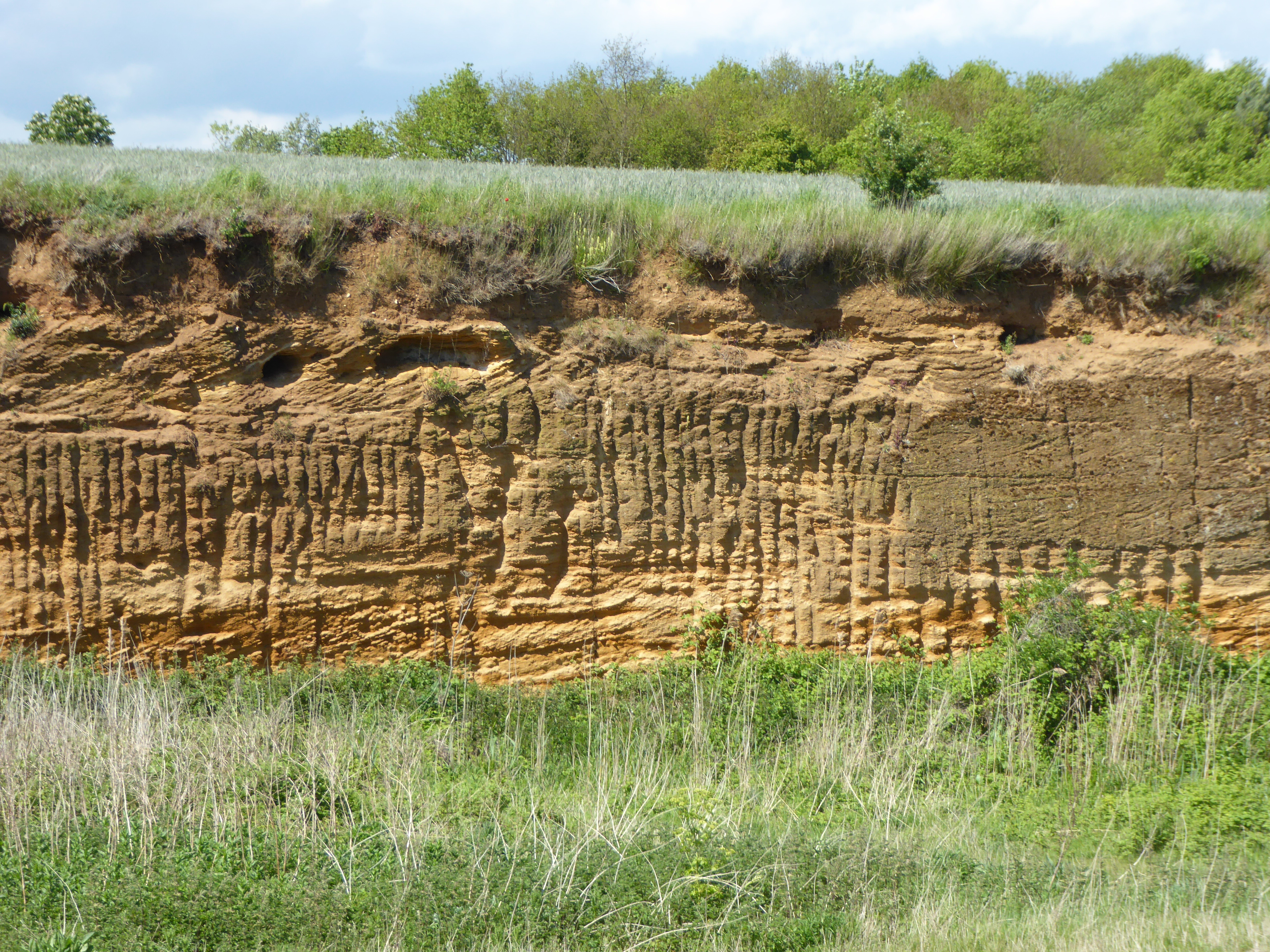
Red House Farm Pit

Red House Farm Pit is a 0.5-hectare (1.2-acre) geological Site of Special Scientific Interest east of Wickham Market in Suffolk. It is a Geological Conservation...

Crag Farm Pit, Sudbourne

Crag Farm Pit, Sudbourne is a 4.8-hectare (12-acre) geological Site of Special Scientific Interest east of Sudbourne in Suffolk. It is a Geological Conservation...

Nearby Amenities

Located within 500m of 52.122343,1.5764004
Source: PGS
Lat/Long: 52.1193104/1.5813981
Source: PGS
Lat/Long: 52.1214912/1.5831847
The data included in this document is from www.openstreetmap.org. The data is made available under ODbL.

Have you been to Boulge Hall Marshes?

Leave your review of Boulge Hall Marshes below (or comments, questions and feedback).