Bells Marsh
Coastal Marsh, Saltings in Norfolk North Norfolk
England
Bells Marsh

Bells Marsh is a coastal marsh located in Norfolk, England. It is situated near the village of Blakeney, within the Blakeney National Nature Reserve. This vast expanse of marshland is characterized by its unique landscape of salt marshes and saltings, which are formed by the deposition of mud and silt from tidal waters.
The marsh is bordered by the North Sea and is subject to the ebb and flow of the tides. This tidal influence has resulted in the development of diverse habitats, making Bells Marsh a haven for wildlife. The salt marshes provide an ideal habitat for a wide range of plant species, including samphire, sea lavender, and glasswort. These plants are specially adapted to tolerate the high salt levels in the marshes.
The marshland is also an important breeding ground and feeding site for numerous bird species. It attracts large numbers of wading birds, such as redshanks, curlews, and oystercatchers. Migratory birds, including Brent geese and pink-footed geese, also frequent the area during the winter months.
In addition to its ecological significance, Bells Marsh offers visitors the opportunity to explore the natural beauty of the Norfolk coast. The marshland can be accessed via footpaths and trails, allowing visitors to observe the wildlife and appreciate the peaceful surroundings. The area is particularly popular among birdwatchers and nature enthusiasts.
Bells Marsh, with its diverse habitats and abundant wildlife, serves as an important sanctuary within the Blakeney National Nature Reserve, showcasing the rich biodiversity of the Norfolk coastline.
If you have any feedback on the listing, please let us know in the comments section below.
Bells Marsh Images
Images are sourced within 2km of 52.758939/1.6108168 or Grid Reference TG4324. Thanks to Geograph Open Source API. All images are credited.


Bells Marsh is located at Grid Ref: TG4324 (Lat: 52.758939, Lng: 1.6108168)
Administrative County: Norfolk
District: North Norfolk
Police Authority: Norfolk
What 3 Words
///mindset.archduke.claw. Near Martham, Norfolk
Nearby Locations
Related Wikis
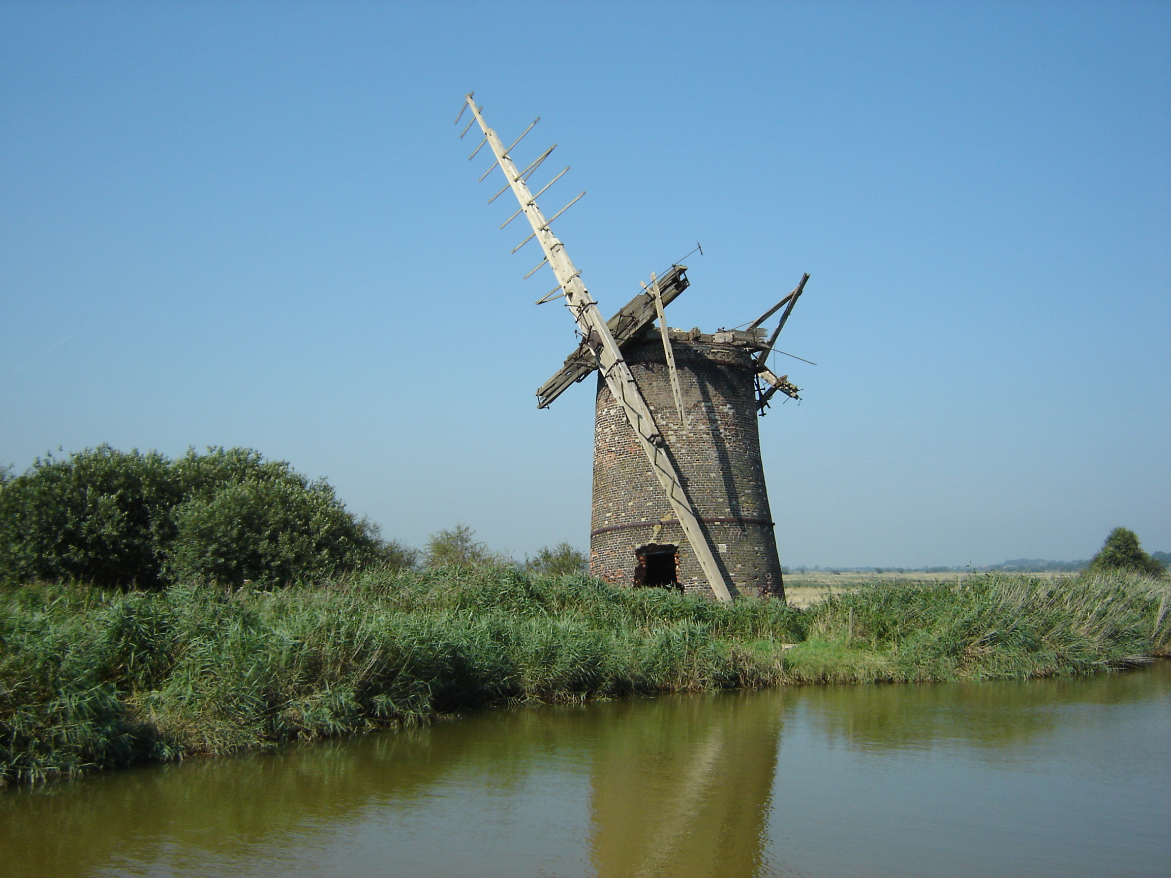
Brograve Mill
Brograve Mill is a windpump located on Brograve level in the parish of Sea Palling within the Norfolk Broads National Park, United Kingdom. It can be...
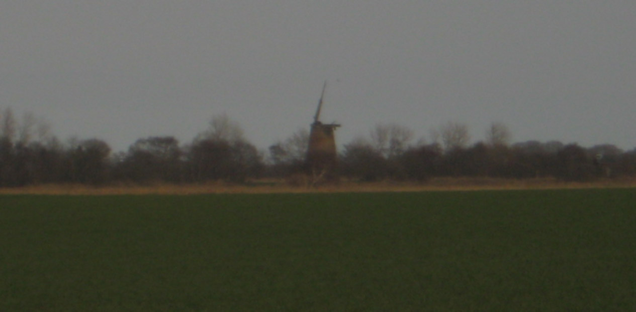
Lambridge Mill
Lambridge Mill also known as Lambrigg Mill is a wind pump located in the parish of Sea Palling within the Norfolk Broads National Park, United Kingdom...
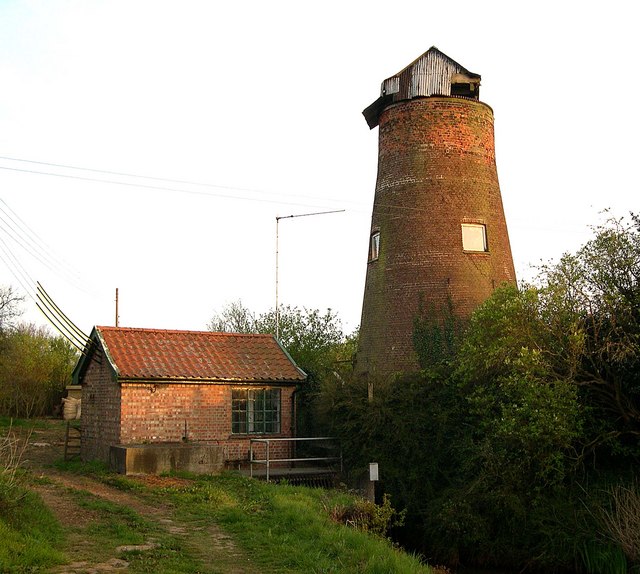
Stubb Drainage Windmill
Stubb Drainage Windmill is 1.9 miles east of Hickling in the English county of Norfolk. The Windmill is a Grade II listed building and was given this status...

Hickling Broad
Hickling Broad is a 600-hectare (1,500-acre) nature reserve 4 km south-east of Stalham, north-east of Norwich in Norfolk. It is managed by the Norfolk...

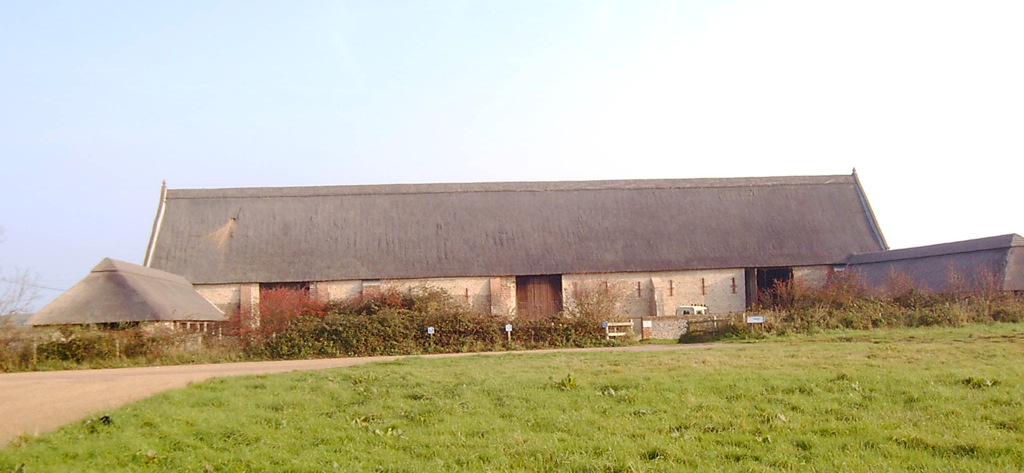
Hickling Priory
Hickling Priory was an Augustinian priory located in Norfolk, England. The house was founded in 1185 by Theobald, grandson of Theobald de Valognes, Lord...

Horsey Mere
Horsey Mere is one of the Norfolk Broads in the east of England; it is one of the more northerly broads close to the North Sea coast. It is reached by...

Horsey, Norfolk
Horsey is a village and civil parish in the English county of Norfolk within The Broads national park. It covers an area of 8.49 km2 (3.28 sq mi) and had...
Waxham
Waxham is a village and former civil parish, now in the parish of Sea Palling, in the North Norfolk district, in the county of Norfolk, England. It lies...
Have you been to Bells Marsh?
Leave your review of Bells Marsh below (or comments, questions and feedback).