Lower Stonnall
Settlement in Staffordshire Lichfield
England
Lower Stonnall

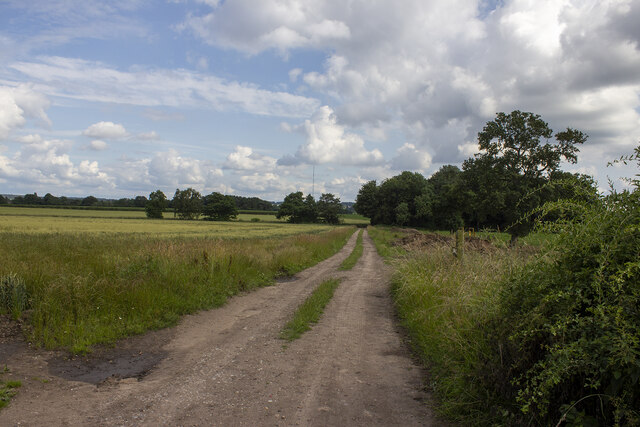
Lower Stonnall is a small village located in the county of Staffordshire, England. Situated approximately 10 miles northeast of the city of Lichfield, Lower Stonnall falls within the administrative district of Lichfield District Council. It is nestled within the picturesque countryside, surrounded by green fields and rolling hills, providing residents with a peaceful and idyllic setting.
The village has a relatively small population, with around 800 residents as of the latest census data. The community is tight-knit and friendly, with a strong sense of community spirit evident through various local events and activities. It boasts a range of amenities, including a village hall, a primary school, a post office, and a local pub, providing essential services to its residents.
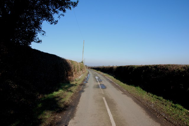
Lower Stonnall is well-connected to nearby towns and cities, with good road links to Lichfield, Sutton Coldfield, and Birmingham. The village is also served by a regular bus service, making it convenient for commuters and those wishing to explore the surrounding areas.
The area surrounding Lower Stonnall offers ample opportunities for outdoor activities, with numerous walking and cycling routes through the beautiful countryside. The village is also close to Cannock Chase, an Area of Outstanding Natural Beauty, which attracts visitors from far and wide.
Overall, Lower Stonnall is a charming and tranquil village, offering a peaceful retreat from the hustle and bustle of city life, while still providing essential amenities and easy access to nearby towns and cities.
If you have any feedback on the listing, please let us know in the comments section below.
Lower Stonnall Images
Images are sourced within 2km of 52.630877/-1.879551 or Grid Reference SK0803. Thanks to Geograph Open Source API. All images are credited.


Lower Stonnall is located at Grid Ref: SK0803 (Lat: 52.630877, Lng: -1.879551)
Administrative County: Staffordshire
District: Lichfield
Police Authority: Staffordshire
What 3 Words
///routines.kitchen.nourished. Near Shenstone, Staffordshire
Nearby Locations
Related Wikis

Stonnall
Stonnall is a large village in Staffordshire, England, close to Shenstone, Brownhills, Walsall Wood and Aldridge. It is divided into Upper Stonnall, Stonnall...

Castle Old Fort
Castle Old Fort is a small Iron Age hill fort in Stonnall, in the Metropolitan borough of Walsall, West Midlands, England. Its interior is now occupied...

Shenstone railway station
Shenstone railway station is a railway station on Station Road, in the village of Shenstone, in Staffordshire, England. It is situated on the Cross-City...
Shenstone, Staffordshire
Shenstone is a village and civil parish in The Lichfield District, Staffordshire, England, located between Lichfield and Sutton Coldfield. The parish also...
Nearby Amenities
Located within 500m of 52.630877,-1.879551Have you been to Lower Stonnall?
Leave your review of Lower Stonnall below (or comments, questions and feedback).