Hermitage Marshes

Coastal Marsh, Saltings in Norfolk Broadland

England

Hermitage Marshes

Clippersby Drainage Mill near Upton Green
Clippersby Drainage Mill near Upton Green Credit: Tom Page

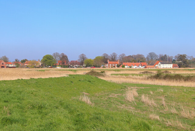
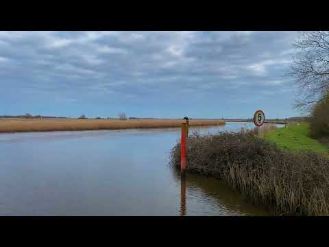
Hermitage Marshes, located in Norfolk, England, is a coastal marshland characterized by its vast salt marshes and saltings. Covering an area of approximately 600 hectares, this unique landscape is an important ecological site and is classified as a Site of Special Scientific Interest (SSSI).

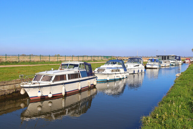
The marshes are situated on the eastern side of the River Bure and are adjacent to the North Sea, making them highly influenced by tidal movements. The marshes are predominantly flat with a low-lying terrain and are home to a diverse range of plant and animal species.

The vegetation in Hermitage Marshes is primarily dominated by salt-tolerant plants, such as sea aster, sea lavender, and common saltmarsh grass. These plants provide crucial habitats and food sources for a variety of bird species, including waders and wildfowl that use the marshes as a breeding and feeding ground.

The marshes are also known for their rich invertebrate population, including a wide variety of insects, spiders, and mollusks. These invertebrates play a vital role in the marshes' ecosystem, acting as a food source for both the resident and migratory bird species.

In addition to its ecological importance, Hermitage Marshes also provide essential coastal defense. The salt marshes act as a natural buffer, absorbing and dissipating wave energy during storm events, thus protecting the adjacent land from erosion and flooding.

Overall, Hermitage Marshes in Norfolk is a significant coastal marshland that supports a diverse range of plant and animal species. Its ecological importance, combined with its role in coastal defense, makes it a valuable and protected natural site.

If you have any feedback on the listing, please let us know in the comments section below.

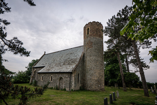
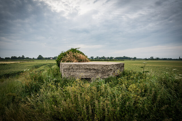
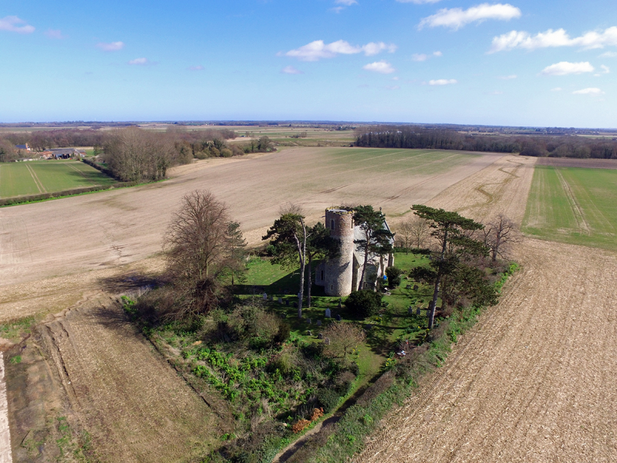
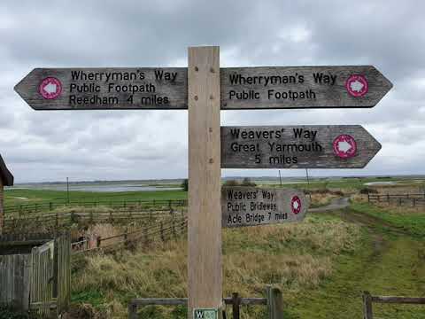
Hermitage Marshes Images

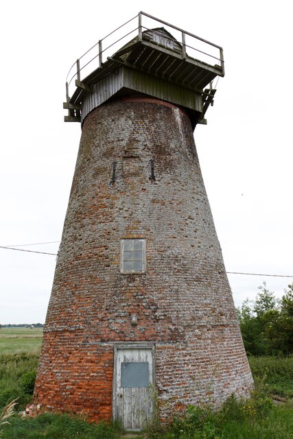
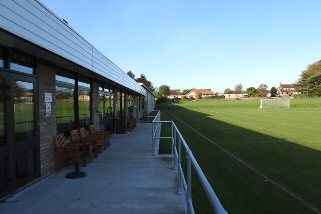
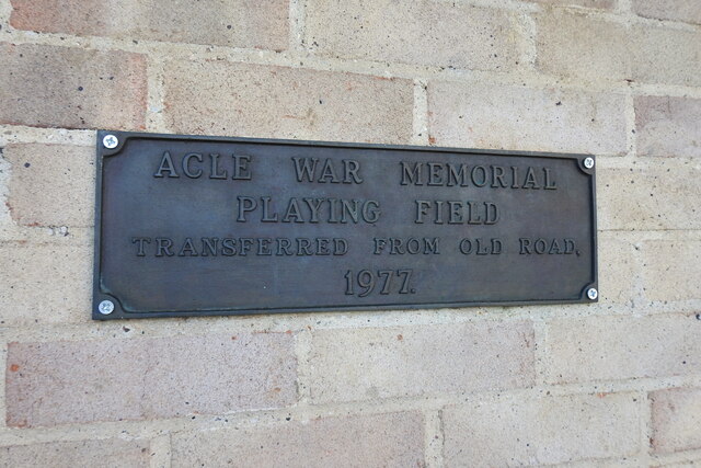
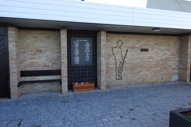
Images are sourced within 2km of 52.643694/1.5624474 or Grid Reference TG4111. Thanks to Geograph Open Source API. All images are credited.

Clippersby Drainage Mill near Upton Green
Acle village sign, south face The sign shows a cart with the bridge and church in the background. 
<a title="https://www.geograph.org.uk/photo/6641337" href="https://www.geograph.org.uk/photo/6641337">Link</a>
Acle village sign, south face
The sign shows a cart with the bridge and church in the background. Link
Acle playing field war memorial
Near Stokesby Footpath along the River Bure.
Near Stokesby
Footpath along the River Bure.
Boat Dyke Lane Boats moored on the River Bure, in Acle.
Boat Dyke Lane
Boats moored on the River Bure, in Acle.
The Drive Road junction in Acle - The Drive & Old Road.
The Drive
Road junction in Acle - The Drive & Old Road.
Acle Post Office
Acle Post Office
Old Road, Acle
Old Road, Acle
Grassland by Old Road, Acle
Old Road between Acle and Billockby
The entrance to Bridge Farm on Old Road between Acle and Billockby
St. Mary's Church, Fishley Lovely Church well off the road.  Grade II

Parish church. Late C13, much restored in 1861; C12 west tower with C15 brick top and castellated parapet. Flint with limestone dressings
St. Mary's Church, Fishley
Lovely Church well off the road. Grade II Parish church. Late C13, much restored in 1861; C12 west tower with C15 brick top and castellated parapet. Flint with limestone dressings
World War Two Pill Box (TypeFW3/22), Fishley Type 22 pillbox. Brick-shuttered, although all the brick work, bar the lowest courses, has now gone. Faces SSW. Access to interior is possible. Interior clean. Overgrown. On private land (field) at edge of public right of way. The pillbox was also the position of the main searchlight for Acle.

Type of site           PILLBOX (TYPE FW3/22)
Location          At a bend in the track W of St. Mary's Church, NW of Acle.
Area                 Upton with Fishley, Norfolk, England
Construction        period 1940 1941
DOB reference: S0013686
<span class="nowrap"><a title="https://archaeologydataservice.ac.uk/archives/view/dob/ai_full_r.cfm?refno=13686" rel="nofollow ugc noopener" href="https://archaeologydataservice.ac.uk/archives/view/dob/ai_full_r.cfm?refno=13686">Link</a><img style="margin-left:2px;" alt="External link" title="External link - shift click to open in new window" src="https://s1.geograph.org.uk/img/external.png" width="10" height="10"/></span>
World War Two Pill Box (TypeFW3/22), Fishley
Type 22 pillbox. Brick-shuttered, although all the brick work, bar the lowest courses, has now gone. Faces SSW. Access to interior is possible. Interior clean. Overgrown. On private land (field) at edge of public right of way. The pillbox was also the position of the main searchlight for Acle. Type of site PILLBOX (TYPE FW3/22) Location At a bend in the track W of St. Mary's Church, NW of Acle. Area Upton with Fishley, Norfolk, England Construction period 1940 1941 DOB reference: S0013686 LinkExternal link
Looking west along the A47 at Acle
Show me another place!

Hermitage Marshes is located at Grid Ref: TG4111 (Lat: 52.643694, Lng: 1.5624474)

Administrative County: Norfolk

District: Broadland

Police Authority: Norfolk

What 3 Words

///ultra.burying.beard. Near Acle, Norfolk

Nearby Locations

Hermitage Marshes

Related Wikis

Acle

Acle ( AY-kəl) is a market town on the River Bure on the Norfolk Broads in Norfolk, located halfway between Norwich and Great Yarmouth. It has the only...

Fishley

Fishley is a village in the English county of Norfolk, forming part of the civil parish of Upton with Fishley. The village is located 0.5 miles (0.80 km...

Damgate Marshes, Acle

Damgate Marshes, Acle is a 64.7-hectare (160-acre) biological Site of Special Scientific Interest between Norwich and Great Yarmouth in Norfolk. It is...

Acle Academy

The Acle Academy, formerly known as Acle High School, is a secondary school which is located in Acle, Norfolk, England. This is in the centre of the Norfolk...

Related Videos

Boating Holiday - Day 2

Our first 'Boating Holiday' to the Norfolk Broads. Booked via Richardsons Boating Holidays (Stalham), sailing from June 6th - June ...

Circular Walk From The Bridge Inn Acle #walking #boats #riverside

Hi everyone , Circular Walk From The Bridge Inn Acle #walking #boats #riverside In today's video , I show you the walk that starts ...

Weaver's Way & Halvergate Marshes

A winter walk out of Great Yarmouth along Weavers Way to Berney Arms and on to the outskirts of Wickhampton. Taking in a ...

Nearby Amenities

Located within 500m of 52.643694,1.5624474
Bus Stop
Hermitage Close, adj
Bench: yes
Bus: yes
Naptan AtcoCode: 2900A0115
Naptan Bearing: NE
Naptan CommonName: Hermitage Close
Naptan Indicator: adj
Naptan Landmark: Hermitage Close
Naptan Locality: Acle
Naptan NaptanCode: nfoadadt
Naptan Street: Old Road
Public Transport: platform
Shelter: yes
Source: naptan_import
Lat/Long: 52.6414957/1.5583703
Bus Stop
Hermitage Close, opp
Naptan AtcoCode: 2900A0121
Naptan Bearing: SW
Naptan BusStopType: CUS
Naptan CommonName: Hermitage Close
Naptan Indicator: opp
Naptan Landmark: Hermitage Close
Naptan Locality: Acle
Naptan NaptanCode: nfogpawj
Naptan Street: Old Road
Source: naptan_import
Lat/Long: 52.6413302/1.5584835
Crossing
Crossing: unmarked
Lat/Long: 52.6470878/1.5658478
Crossing
Crossing: unmarked
Crossing Island: yes
Tactile Paving: yes
Lat/Long: 52.6407423/1.5571675
Power: pole
Lat/Long: 52.6404178/1.5578887
Location Transition: yes
Power: pole
Transformer: distribution
Lat/Long: 52.640699/1.5573643
The Weavers’ Way
Hiking: yes
Information: guidepost
Inscription: Circular Walk
Tourism: information
Lat/Long: 52.6407464/1.5574218
Waste Basket
Colour: red
Material: plastic
Waste: dog_excrement
Lat/Long: 52.6406772/1.5574155
Board Type: notice
Information: board
Tourism: information
Lat/Long: 52.6415054/1.5584354
Give Way
Lat/Long: 52.6414349/1.5583939
Off-road path to Acle Bridge
Colour: brown
Hiking: yes
Information: guidepost
Material: wood
Tourism: information
Lat/Long: 52.6418301/1.5594702
Acle
Colour: black
Colour Back: white
Direction: SW
Inscription: Welcome to Acle / Please drrive carefully / Thank you for visiting
Material: metal
Traffic Sign: city_limit
Lat/Long: 52.6422052/1.5598081
Inscription: Private Property/ No Public Right of Way
Lat/Long: 52.6434582/1.5617712
Hiking: yes
Information: route_marker
Inscription: Public Footpath
Operator: Norfolk County Council
Tourism: information
Lat/Long: 52.6434328/1.5617512
Bench
Armrest: both
Backrest: yes
Material: wood
Lat/Long: 52.6435383/1.5663916
Bench
Armrest: both
Backrest: yes
Material: wood
Lat/Long: 52.6435848/1.5664101
Acle Bridge
Hiking: yes
Information: route_marker
Inscription: Public Footpath
Tourism: information
Lat/Long: 52.6433225/1.5663347
Life Ring
Colour: orange
Emergency: life_ring
Support: fence
Lat/Long: 52.6429683/1.5662441
Hiking: yes
Information: route_marker
Inscription: Acle Bridge / WWII Trail
Material: wood
Tourism: information
Lat/Long: 52.6425203/1.566156
Hiking: yes
Information: route_marker
Inscription: Weavers' Way
Tourism: information
Lat/Long: 52.6412263/1.5657165
Location Transition: yes
Power: pole
Transformer: distribution
Lat/Long: 52.640044/1.5636723
Location Transition: yes
Material: wood
Power: pole
Lat/Long: 52.6465311/1.5647518
Power: pole
Lat/Long: 52.647582/1.5595235
Power: pole
Lat/Long: 52.6468838/1.5630077
Power: pole
Lat/Long: 52.6472329/1.5612649
Hiking: yes
Information: route_marker
Inscription: Weavers' Way / Circular Walk / Acle / Norfolk Trails
Material: wood
Tourism: information
Lat/Long: 52.6406689/1.5601277
Waste Basket
Colour: red
Material: plastic
Waste: dog_excrement
Lat/Long: 52.6418338/1.5594819
Generator Method: photovoltaic
Generator Output Electricity: yes
Generator Solar Modules: 16
Generator Source: solar
Generator Type: solar_photovoltaic_panel
Location: roof
Power: generator
Lat/Long: 52.6414367/1.5592707
Camera Mount: pole
Camera Type: dome
Man Made: surveillance
Surveillance: public
Surveillance Type: camera
Surveillance Zone: parking
Lat/Long: 52.6406294/1.5599533
Weaver's Way
Destination: Acle;Acle Circular Walk
Hiking: yes
Information: guidepost
Inscription: Circular Walk / Weavers' Way / WWII Trail
Material: wood
Tourism: information
Lat/Long: 52.6405365/1.5596335
Weaver's Way
Hiking: yes
Information: guidepost
Inscription: Public Footpath
Man Made: utility_pole
Material: wood
Tourism: information
Utility: telecom
Lat/Long: 52.6403666/1.5595825
Entrance: main
Lat/Long: 52.6402648/1.5597134
Colour: light_brown
Destination: Public Footpath;Damgate Wood;Weavers’ Way
Hiking: yes
Information: guidepost
Material: wood
Tourism: information
Lat/Long: 52.6402587/1.559609
Material: wood
Power: pole
Ref: 525580
Lat/Long: 52.6403222/1.5594558
Power: pole
Lat/Long: 52.6402681/1.5587658
Location Transition: yes
Power: pole
Transformer: distribution
Lat/Long: 52.6402917/1.5599017
The data included in this document is from www.openstreetmap.org. The data is made available under ODbL.

Have you been to Hermitage Marshes?

Leave your review of Hermitage Marshes below (or comments, questions and feedback).