Barsham Marshes

Coastal Marsh, Saltings in Suffolk East Suffolk

England

Barsham Marshes

Manor Barn, Kings Dam, Gillingham The old manor barn has been converted into a habitable dwelling
Manor Barn, Kings Dam, Gillingham Credit: Adrian S Pye

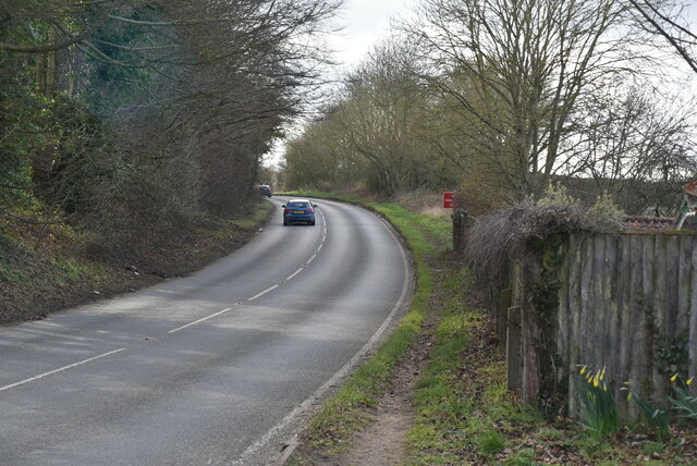
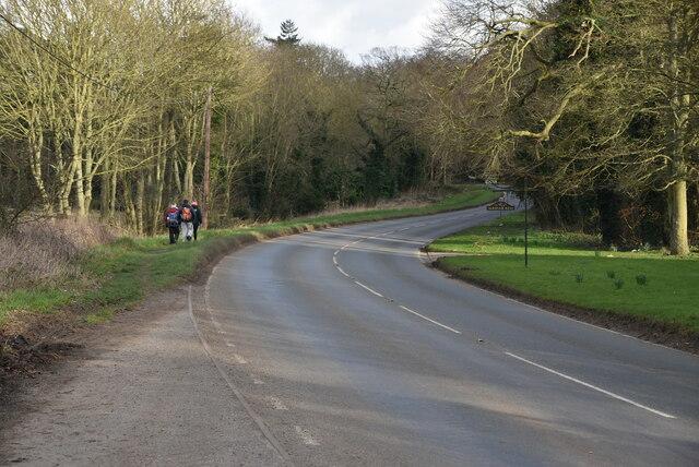
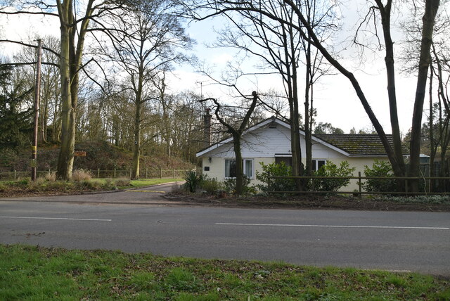
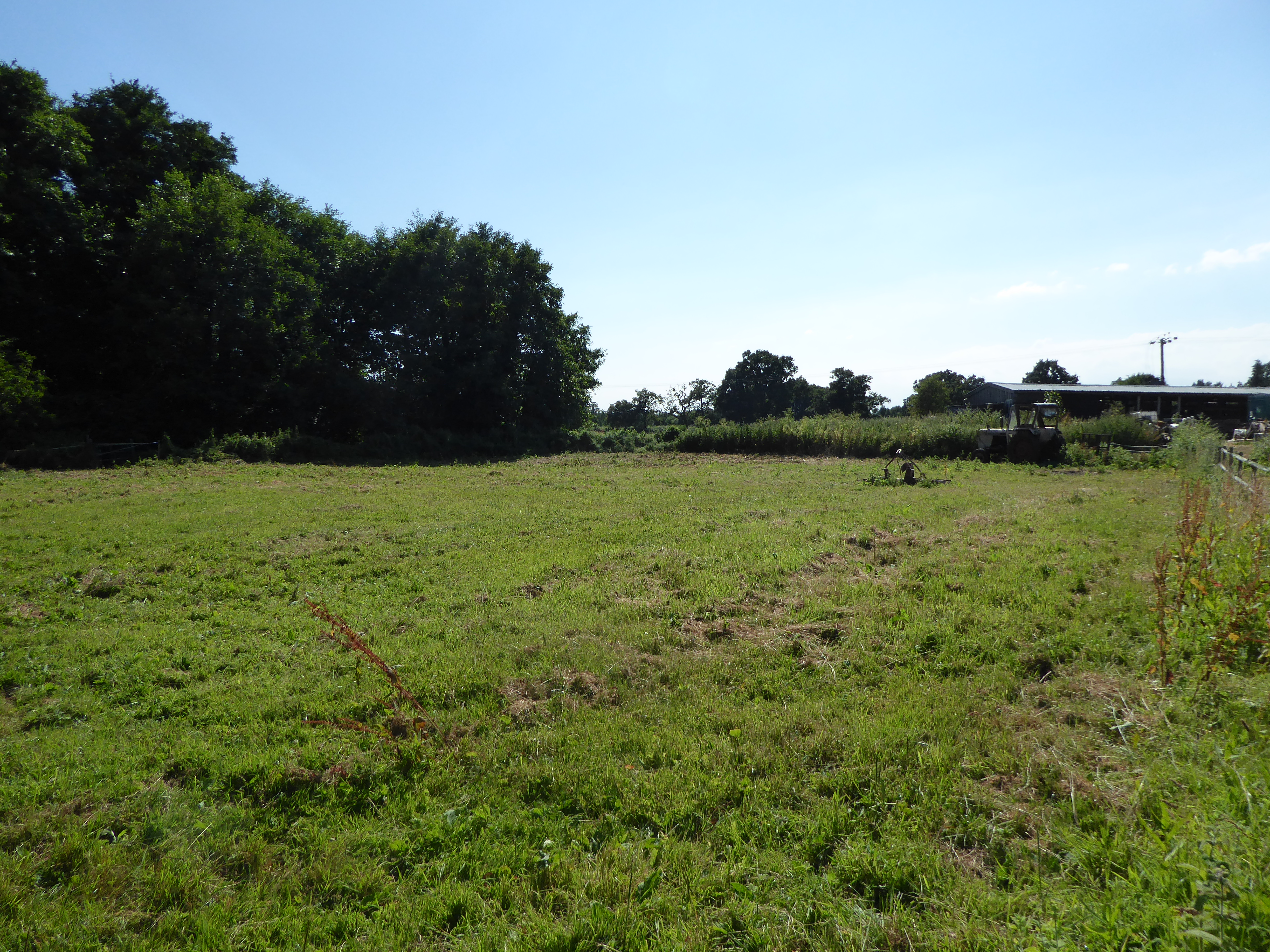
Barsham Marshes, located in Suffolk, England, is a picturesque stretch of coastal marshland and saltings. Spanning approximately 400 hectares, it is an important natural habitat that offers a diverse range of flora and fauna. The marshes are situated adjacent to the Blyth estuary, providing a unique intersection between land and sea.

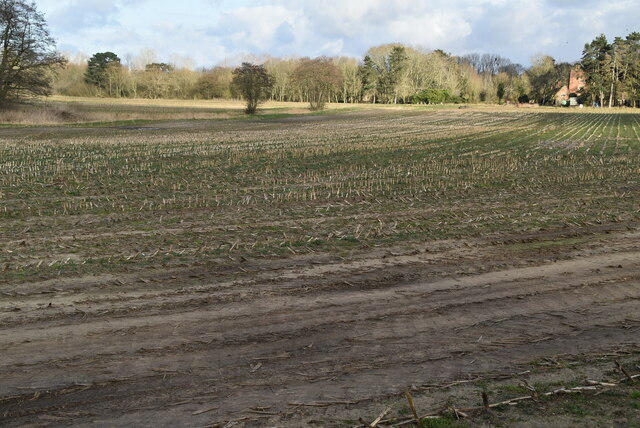
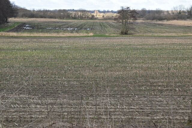
The marshes are characterized by their low-lying terrain, consisting of large expanses of salt marsh, mudflats, and tidal creeks. The area is regularly inundated by the tides, resulting in a brackish environment that supports a rich variety of plant species. Salt-tolerant plants such as samphire, sea lavender, and cordgrass thrive in this habitat, providing food and shelter for numerous bird species.

The marshes are renowned for their importance as a feeding and breeding ground for a wide range of birdlife. Visitors to Barsham Marshes can observe a plethora of wading birds, including curlews, redshanks, oystercatchers, and avocets. During the winter months, the marshes become a haven for migrating birds, with species such as brent geese and dunlins making a stopover on their long journeys.

The site is also of great significance for the conservation of wildlife. It has been designated as a Site of Special Scientific Interest (SSSI) and is part of the internationally recognized Suffolk Coast and Heaths Area of Outstanding Natural Beauty. The marshes provide a vital habitat for various rare and protected species, such as the marsh harrier and the European otter.

Barsham Marshes, with its stunning coastal vistas and abundant wildlife, offers visitors a unique opportunity to experience the beauty and serenity of a coastal marshland ecosystem. It serves as a valuable natural asset, providing a refuge for numerous species while also offering a tranquil setting for nature enthusiasts and birdwatchers alike.

If you have any feedback on the listing, please let us know in the comments section below.

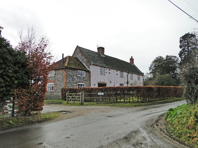
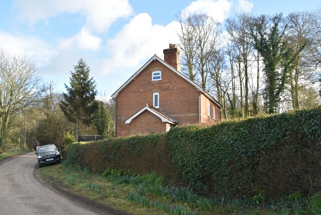
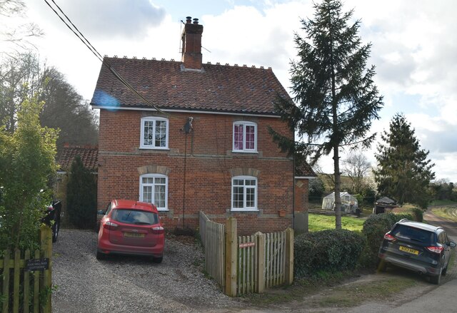
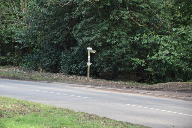
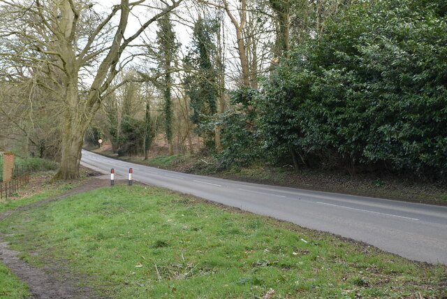
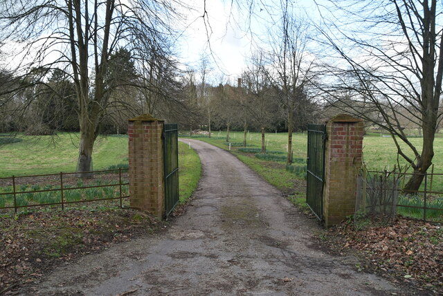
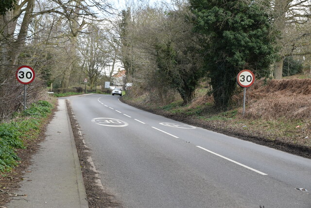
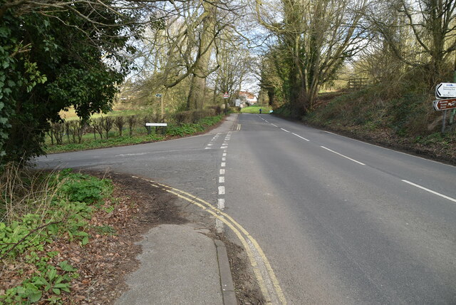
Barsham Marshes Images

Images are sourced within 2km of 52.461088/1.5349795 or Grid Reference TM4090. Thanks to Geograph Open Source API. All images are credited.

Manor Barn, Kings Dam, Gillingham The old manor barn has been converted into a habitable dwelling
Manor Barn, Kings Dam, Gillingham
The old manor barn has been converted into a habitable dwelling
The Manor House, Kings Dam, Gillingham
Sir John Leman School (frontage) Sir John Leman was a local man who went to London in the 1580s and made his fortune dealing in dairy products.  He became a leading citizen of London during the reigns of Queen Elizabeth I and King James I, serving as Sheriff of London and later as Lord Mayor. He retained strong links with Beccles and, upon his death in 1631, he left a bequest to educate forty four students from Beccles, two from Ringsfield and two from Gillingham.
The school became the County Mixed Grammar School and moved to the present site in Ringsfield Road in 1914. Now surrounded by the additional buildings and facilities which have been constructed and developed as the school grew. In 1971, it became a Comprehensive High School and converted to Academy status in August 2011.
Sir John Leman School (frontage)
Sir John Leman was a local man who went to London in the 1580s and made his fortune dealing in dairy products. He became a leading citizen of London during the reigns of Queen Elizabeth I and King James I, serving as Sheriff of London and later as Lord Mayor. He retained strong links with Beccles and, upon his death in 1631, he left a bequest to educate forty four students from Beccles, two from Ringsfield and two from Gillingham. The school became the County Mixed Grammar School and moved to the present site in Ringsfield Road in 1914. Now surrounded by the additional buildings and facilities which have been constructed and developed as the school grew. In 1971, it became a Comprehensive High School and converted to Academy status in August 2011.
Field of Stubble
Field of Stubble
Roos Hall Cottages
Roos Hall Cottages
Roos Hall Cottages
Roos Hall Cottages
Bungay Rd <span class="nowrap"><a title="https://www.sabre-roads.org.uk/wiki/index.php?title=B1062" rel="nofollow ugc noopener" href="https://www.sabre-roads.org.uk/wiki/index.php?title=B1062">Link</a><img style="margin-left:2px;" alt="External link" title="External link - shift click to open in new window" src="https://s1.geograph.org.uk/img/external.png" width="10" height="10"/></span>
Bungay Rd
Field of stubble
Field of stubble
Entering Beccles <span class="nowrap"><a title="https://en.wikipedia.org/wiki/Beccles" rel="nofollow ugc noopener" href="https://en.wikipedia.org/wiki/Beccles">Link</a><img style="margin-left:2px;" alt="External link" title="External link - shift click to open in new window" src="https://s1.geograph.org.uk/img/external.png" width="10" height="10"/></span>
Entering Beccles
Bungalow, Bungay Rd
Bungalow, Bungay Rd
Footpath off Bungay Rd
Bungay Rd <span class="nowrap"><a title="https://www.sabre-roads.org.uk/wiki/index.php?title=B1062" rel="nofollow ugc noopener" href="https://www.sabre-roads.org.uk/wiki/index.php?title=B1062">Link</a><img style="margin-left:2px;" alt="External link" title="External link - shift click to open in new window" src="https://s1.geograph.org.uk/img/external.png" width="10" height="10"/></span>
Bungay Rd
Entrance to Roos Hall
Bungay Rd <span class="nowrap"><a title="https://www.sabre-roads.org.uk/wiki/index.php?title=B1062" rel="nofollow ugc noopener" href="https://www.sabre-roads.org.uk/wiki/index.php?title=B1062">Link</a><img style="margin-left:2px;" alt="External link" title="External link - shift click to open in new window" src="https://s1.geograph.org.uk/img/external.png" width="10" height="10"/></span>
Bungay Rd
Puddingmoor off Bungay Rd <span class="nowrap"><a title="https://www.sabre-roads.org.uk/wiki/index.php?title=B1062" rel="nofollow ugc noopener" href="https://www.sabre-roads.org.uk/wiki/index.php?title=B1062">Link</a><img style="margin-left:2px;" alt="External link" title="External link - shift click to open in new window" src="https://s1.geograph.org.uk/img/external.png" width="10" height="10"/></span>
Puddingmoor off Bungay Rd
Beccles War Memorial Hospital In September 1918 it was decided and announced that a new hospital was needed in the town as the present one in Fair Close was out of date and unadaptable. 
It was opened at a cost of £12,000, on 16th February 1924 by Major General Sir Anthony Bowlby, KCB, KCMG, KCVO.
The land between St Mary's and Priory Road was donated by Alexander Elliot.
It was a fully fitted out hospital with male and female wards, an X-Ray department and operating theatre and the administration block (illustrated).
Today it has its own on-site surgeries and pharmacy, but is non-emergency and deals only with minor accidents and geriatrics. 
The previous hospital <a title="https://www.geograph.org.uk/photo/7596431" href="https://www.geograph.org.uk/photo/7596431">Link</a>
Former doctor's surgery <a title="https://www.geograph.org.uk/photo/7574638" href="https://www.geograph.org.uk/photo/7574638">Link</a>
Beccles War Memorial Hospital
In September 1918 it was decided and announced that a new hospital was needed in the town as the present one in Fair Close was out of date and unadaptable. It was opened at a cost of £12,000, on 16th February 1924 by Major General Sir Anthony Bowlby, KCB, KCMG, KCVO. The land between St Mary's and Priory Road was donated by Alexander Elliot. It was a fully fitted out hospital with male and female wards, an X-Ray department and operating theatre and the administration block (illustrated). Today it has its own on-site surgeries and pharmacy, but is non-emergency and deals only with minor accidents and geriatrics. The previous hospital Link Former doctor's surgery Link
The former St Mary's Convent School, Beccles It is currently a children's home, by the name of Elizabeth House.
The convent-run school closed in the early 1990s and the council took over the running of the children's home in the mid 1990s.
In a previous existence from 1909, it was the Fauconberg School, having moved from Ballygate under the mastership of Thomas Clifton Smith. The last master left in the spring of 1926 when the school closed.
The former St Mary's Convent School, Beccles
It is currently a children's home, by the name of Elizabeth House. The convent-run school closed in the early 1990s and the council took over the running of the children's home in the mid 1990s. In a previous existence from 1909, it was the Fauconberg School, having moved from Ballygate under the mastership of Thomas Clifton Smith. The last master left in the spring of 1926 when the school closed.
Show me another place!

Barsham Marshes is located at Grid Ref: TM4090 (Lat: 52.461088, Lng: 1.5349795)

Administrative County: Suffolk

District: East Suffolk

Police Authority: Suffolk

What 3 Words

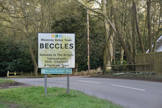
///flinches.spends.incur. Near Beccles, Suffolk

Nearby Locations

Barsham Marshes

Related Wikis

Geldeston Meadows

Geldeston Meadows is a 14-hectare (35-acre) biological Site of Special Scientific Interest near Geldeston in Norfolk. It is part of the Broadland Ramsar...
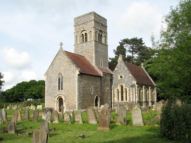
Barsham, Suffolk

Barsham is a village and civil parish in the East Suffolk district of the English county of Suffolk. It is about 2 miles (3.2 km) west of Beccles, south...

Geldeston

Geldeston is a village and civil parish in the English county of Norfolk. The village is located 2.5 miles (4.0 km) north-west of Beccles and 14 miles...
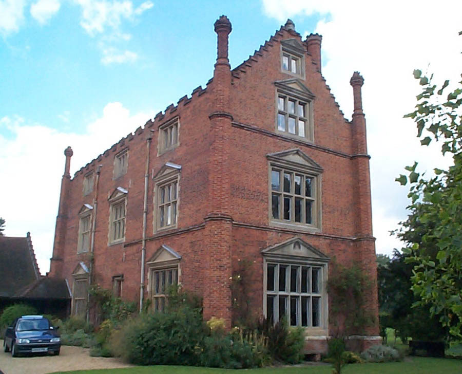
Roos Hall

Roos Hall (or sometimes Rose Hall) is a manor house and former manor ½ a mile (¾km) west of Beccles in Suffolk. It is a Grade I listed building.It is said...

Gillingham, Norfolk

Gillingham ( GHIL-ing-əm) is a small village and civil parish in the English county of Norfolk. The villages is located 1.5 miles (2.4 km) north-west...
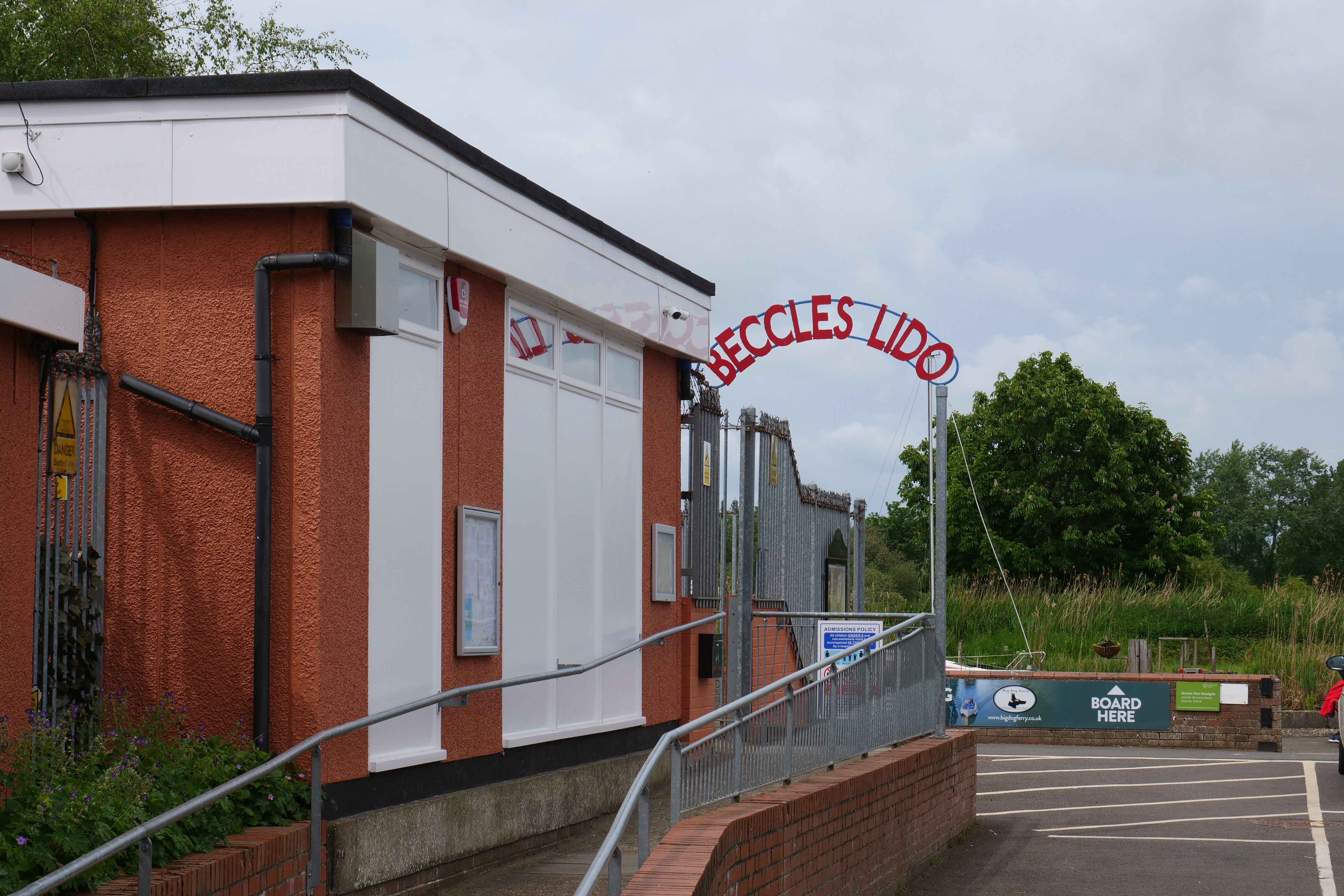
Beccles Lido

Beccles Lido is an open-air pool at Puddingmoor, Beccles, Suffolk, on the banks of the River Waveney. == Description == The lido is 30 x 16 metres with...

Geldeston railway station

Geldeston (also Geldeston Halt) was a station on the Waveney Valley Line serving the village of Geldeston, Norfolk. It was operational for passenger services...
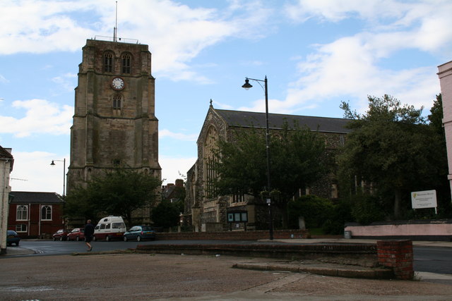
Beccles bell tower

Beccles bell tower is a free-standing Grade I listed edifice associated with the adjacent St. Michael's Church in the market town of Beccles, Suffolk,...

Nearby Amenities

Located within 500m of 52.461088,1.5349795
Barrier: cattle_grid
Source: Bing;definitive_statement
Lat/Long: 52.4570863/1.5370074
The data included in this document is from www.openstreetmap.org. The data is made available under ODbL.

Have you been to Barsham Marshes?

Leave your review of Barsham Marshes below (or comments, questions and feedback).