Ellingham Marshes

Coastal Marsh, Saltings in Norfolk South Norfolk

England

Ellingham Marshes

B1062 <span class="nowrap"><a title="https://www.sabre-roads.org.uk/wiki/index.php?title=B1062" rel="nofollow ugc noopener" href="https://www.sabre-roads.org.uk/wiki/index.php?title=B1062">Link</a><img style="margin-left:2px;" alt="External link" title="External link - shift click to open in new window" src="https://s1.geograph.org.uk/img/external.png" width="10" height="10"/></span>
B1062 Credit: N Chadwick

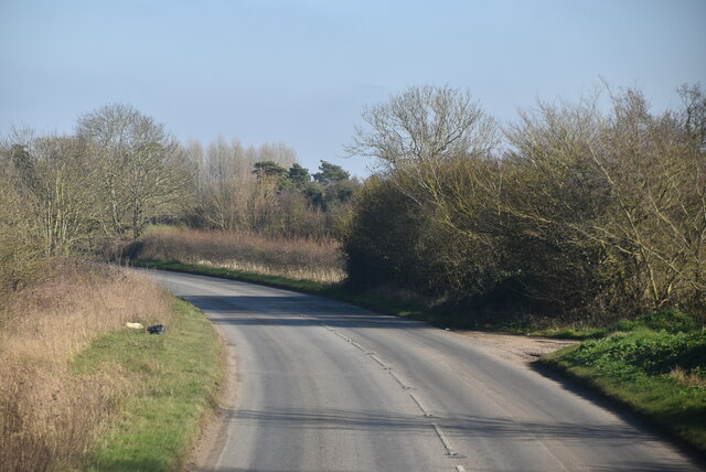
Ellingham Marshes, located in Norfolk, England, is a coastal marshland area known for its unique ecological characteristics and stunning natural beauty. Spanning over a vast expanse, the marshes are situated adjacent to the North Sea, making them a vital habitat for various marine and bird species.

The marshes are characterized by their saline nature, as they are influenced by the tides of the North Sea. This results in the formation of salt flats, or saltings, which are covered by a layer of salt due to the evaporation of seawater. This unique aspect contributes to the diverse flora and fauna found in the area.

The vegetation of Ellingham Marshes is rich and varied, adapting to the saline environment. Salt-tolerant plants such as sea lavender, glasswort, and sea purslane thrive in abundance, adding vibrant colors to the landscape. This vegetation provides crucial shelter and food sources for numerous bird species, making the marshes a popular spot for birdwatchers.

Bird enthusiasts flock to Ellingham Marshes to catch glimpses of rare and migratory species that call the marshes their home or make a pit stop during their annual journey. These include avocets, lapwings, redshanks, and marsh harriers, among others. The marshes also serve as a breeding ground for several species, making it a significant site for conservation efforts.

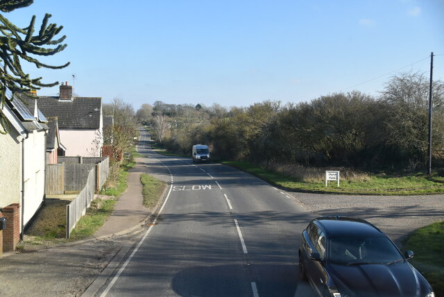
Visitors can explore the marshes via well-maintained footpaths and bridleways, offering excellent opportunities for walking, cycling, and horse riding. The peaceful serenity of Ellingham Marshes, coupled with the breathtaking coastal views, makes it a must-visit destination for nature lovers and outdoor enthusiasts alike.

If you have any feedback on the listing, please let us know in the comments section below.

Ellingham Marshes Images

Images are sourced within 2km of 52.47019/1.4895963 or Grid Reference TM3791. Thanks to Geograph Open Source API. All images are credited.

Mettingham Village sign Village signs are typically placed along the principal road or in a prominent location such as a village green or close by the church. The design often depicts a particularly feature of the village or a scene from its history, heritage, or culture. They are typically made of wood or metal or a combination of both, the designs are often made by the local community.
Although they do appear in villages and towns all over the country they are more prominent in East Anglia than elsewhere in the country.
Mettingham Village sign
Village signs are typically placed along the principal road or in a prominent location such as a village green or close by the church. The design often depicts a particularly feature of the village or a scene from its history, heritage, or culture. They are typically made of wood or metal or a combination of both, the designs are often made by the local community. Although they do appear in villages and towns all over the country they are more prominent in East Anglia than elsewhere in the country.
Entering Shipmeadow, B1062 <span class="nowrap"><a title="https://www.sabre-roads.org.uk/wiki/index.php?title=B1062" rel="nofollow ugc noopener" href="https://www.sabre-roads.org.uk/wiki/index.php?title=B1062">Link</a><img style="margin-left:2px;" alt="External link" title="External link - shift click to open in new window" src="https://s1.geograph.org.uk/img/external.png" width="10" height="10"/></span>
Entering Shipmeadow, B1062
Young crop field, Shipmeadow Looking towards Viewpoint Mews (the former Beccles and Bungay workhouse).
Young crop field, Shipmeadow
Looking towards Viewpoint Mews (the former Beccles and Bungay workhouse).
Heading west from Shipmeadow On the B1062.
Heading west from Shipmeadow
On the B1062.
Grazing, Shipmeadow Off the B1062.
Grazing, Shipmeadow
Off the B1062.
Angles Way at Shipmeadow
War memorials inside All Saints' Church, Mettingham
Roll of Honour inside All Saints' Church, Mettingham
Boer War memorial inside All Saints' Church, Mettingham
Mettingham village sign (front) The new sign still depicts the castle gatehouse but beneath it’s arch is a girl holding a horse while the farrier shoes the hind hoof. The spandrels are in the form of little owls, often seen in the parish.
Mettingham village sign (front)
The new sign still depicts the castle gatehouse but beneath it’s arch is a girl holding a horse while the farrier shoes the hind hoof. The spandrels are in the form of little owls, often seen in the parish.
Mettingham village sign (back) The new sign still depicts the castle gatehouse but beneath it’s arch is a girl holding a horse while the farrier shoes the hind hoof. The spandrels are in the form of little owls, often seen in the parish.  <a title="https://www.geograph.org.uk/photo/6768393" href="https://www.geograph.org.uk/photo/6768393">Link</a>
Mettingham village sign (back)
The new sign still depicts the castle gatehouse but beneath it’s arch is a girl holding a horse while the farrier shoes the hind hoof. The spandrels are in the form of little owls, often seen in the parish. Link
Mettingham village sign The new sign still depicts the castle gatehouse but beneath it’s arch is a girl holding a horse while the farrier shoes the hind hoof. The spandrels are in the form of little owls, often seen in the parish.
<a title="https://www.geograph.org.uk/photo/6768398" href="https://www.geograph.org.uk/photo/6768398">Link</a>
Mettingham village sign
The new sign still depicts the castle gatehouse but beneath it’s arch is a girl holding a horse while the farrier shoes the hind hoof. The spandrels are in the form of little owls, often seen in the parish. Link
The Wherry Inn
The Wherry Inn
River Waveney
River Waveney
Ellingham watermill The first known reference to the mill was about 1200 
Under Hovis, flour milling ceased in 1949 and the mill was converted to a provender mill, taking over the animal feed business from Earsham Mill. The mill finally closed down in 196.
Ellingham and Earsham are the only two mills on the Waveney that are officially in Norfolk.
Ellingham watermill
The first known reference to the mill was about 1200 Under Hovis, flour milling ceased in 1949 and the mill was converted to a provender mill, taking over the animal feed business from Earsham Mill. The mill finally closed down in 196. Ellingham and Earsham are the only two mills on the Waveney that are officially in Norfolk.
Show me another place!

Ellingham Marshes is located at Grid Ref: TM3791 (Lat: 52.47019, Lng: 1.4895963)

Administrative County: Norfolk

District: South Norfolk

Police Authority: Norfolk

What 3 Words

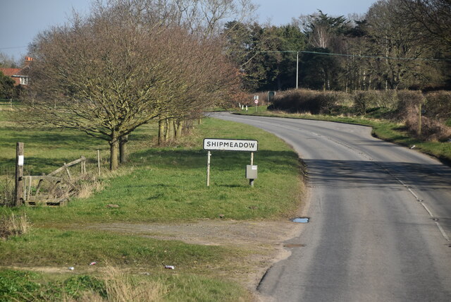
///detect.stadium.backhand. Near Ditchingham, Norfolk

Nearby Locations

Ellingham Marshes

Related Wikis

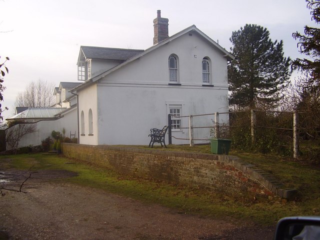
Ellingham railway station

Ellingham is a former railway station in Ellingham, Norfolk. It was opened in 1863 as part of the Waveney Valley Line between Tivetshall and Beccles, Suffolk...
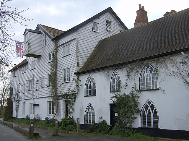
Ellingham, Norfolk

Ellingham is a village and civil parish in the English county of Norfolk. The village is located 2.3 miles (3.7 km) north-east of Bungay and 13 miles...

Geldeston railway station

Geldeston (also Geldeston Halt) was a station on the Waveney Valley Line serving the village of Geldeston, Norfolk. It was operational for passenger services...

Leet Hill, Kirby Cane

Leet Hill, Kirby Cane is a 6.5-hectare (16-acre) geological Site of Special Scientific Interest in Kirby Cane in Norfolk. It is a Geological Conservation...

Nearby Amenities

Located within 500m of 52.47019,1.4895963
Power: pole
Lat/Long: 52.4737871/1.4940226
Power: pole
Lat/Long: 52.4740109/1.4922336
Power: pole
Lat/Long: 52.4742151/1.4906457
Power: pole
Lat/Long: 52.4744259/1.4890283
Communication Mobile Phone: yes
Man Made: mast
Material: metal
Operator: Three UK;EE
Tower Construction: freestanding
Tower Type: communication
Lat/Long: 52.4723885/1.4927673
Communication Mobile Phone: yes
Man Made: mast
Material: metal
Operator: O2-UK;Vodafone UK
Tower Construction: freestanding
Tower Type: communication
Lat/Long: 52.4725135/1.4924723
The data included in this document is from www.openstreetmap.org. The data is made available under ODbL.

Have you been to Ellingham Marshes?

Leave your review of Ellingham Marshes below (or comments, questions and feedback).