Broome Marshes

Coastal Marsh, Saltings in Norfolk South Norfolk

England

Broome Marshes

4-8, Earsham Street, Bungay (Listed Building) C17 and early C18, 2 storey and attic.  C19 wood shop front to No 4. 

List Entry Number: 1234532 <span class="nowrap"><a title="https://historicengland.org.uk/listing/the-list/list-entry/1234532" rel="nofollow ugc noopener" href="https://historicengland.org.uk/listing/the-list/list-entry/1234532">Link</a><img style="margin-left:2px;" alt="External link" title="External link - shift click to open in new window" src="https://s1.geograph.org.uk/img/external.png" width="10" height="10"/></span>
4-8, Earsham Street, Bungay (Listed Building) Credit: Roger Jones

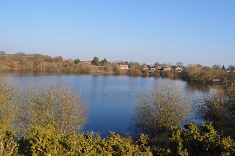
Broome Marshes, located in Norfolk, England, is a coastal marshland characterized by its unique ecosystem and stunning natural beauty. Covering an area of approximately 300 hectares, the marshes are situated on the northern bank of the River Bure, adjacent to Breydon Water.

The marshes are predominantly composed of salt marshes and saltings, which are a type of coastal wetland characterized by the presence of salt-tolerant plants. These plants, such as sea lavender and samphire, thrive in the brackish water found in the area. This unique vegetation provides a vital habitat for a diverse range of bird species, making Broome Marshes a popular destination for birdwatching enthusiasts.

The area is home to an impressive array of birdlife, including waders, ducks, geese, and various species of rare and migratory birds. Birdwatchers can catch sight of species such as avocets, redshanks, lapwings, and brent geese, especially during the winter months when the marshes become a temporary home for thousands of overwintering birds.

The marshes also provide a crucial breeding ground for several species of butterfly and moth, with rare species such as the swallowtail butterfly being spotted in the area. In addition to the diverse wildlife, Broome Marshes also boasts picturesque views of the surrounding landscape, including the river and the nearby coastal dunes.

To preserve and protect this valuable ecosystem, the Broome Marshes Nature Reserve was established by the Norfolk Wildlife Trust. The reserve offers various walking trails and hides that allow visitors to explore the marshes while minimizing disturbance to the wildlife.

If you have any feedback on the listing, please let us know in the comments section below.

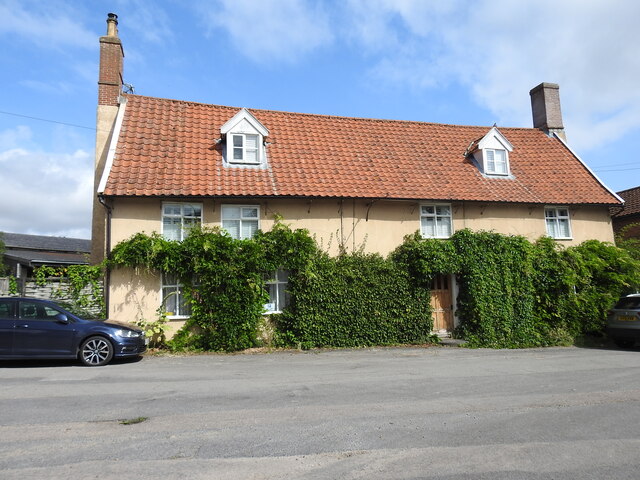
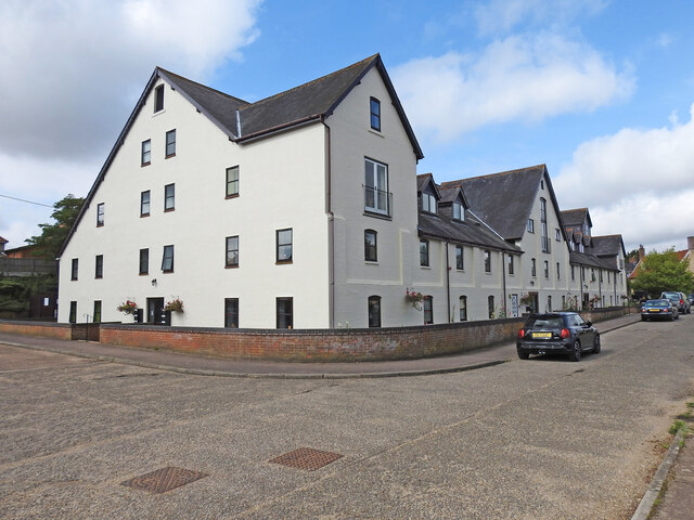
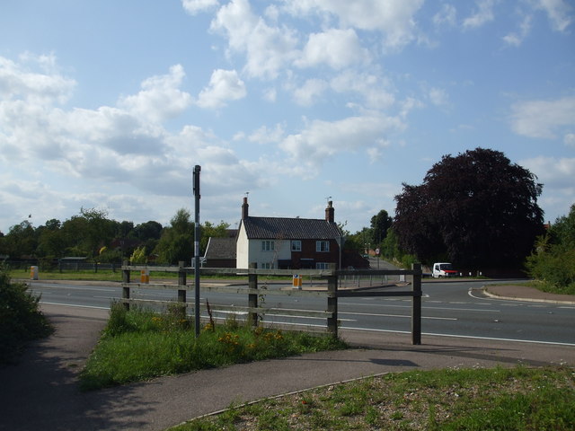
Broome Marshes Images

Images are sourced within 2km of 52.46347/1.4612036 or Grid Reference TM3590. Thanks to Geograph Open Source API. All images are credited.

4-8, Earsham Street, Bungay (Listed Building) C17 and early C18, 2 storey and attic.  C19 wood shop front to No 4. 

List Entry Number: 1234532 <span class="nowrap"><a title="https://historicengland.org.uk/listing/the-list/list-entry/1234532" rel="nofollow ugc noopener" href="https://historicengland.org.uk/listing/the-list/list-entry/1234532">Link</a><img style="margin-left:2px;" alt="External link" title="External link - shift click to open in new window" src="https://s1.geograph.org.uk/img/external.png" width="10" height="10"/></span>
4-8, Earsham Street, Bungay (Listed Building)
C17 and early C18, 2 storey and attic. C19 wood shop front to No 4. List Entry Number: 1234532 LinkExternal link
Emmanuel Church, Upper Olland Street, Bungay
Houses on the corner of Earsham Street, Bungay
Bungay Castle
Bungay Castle
St Mary's church, Bungay St Mary's is a magnificent church which is now redundant and is cared for by The Church Conservation Trust and the Friends of St Mary’s Church: <span class="nowrap"><a title="https://stmaryschurchbungay.co.uk/" rel="nofollow ugc noopener" href="https://stmaryschurchbungay.co.uk/">Link</a><img style="margin-left:2px;" alt="External link" title="External link - shift click to open in new window" src="https://s1.geograph.org.uk/img/external.png" width="10" height="10"/></span>
St Mary's church, Bungay
St Mary's is a magnificent church which is now redundant and is cared for by The Church Conservation Trust and the Friends of St Mary’s Church: LinkExternal link
Earsham Street, Bungay
Upper Olland Street, Bungay
Market Place, Bungay
Street sign, Popson Street, Bungay This design of street sign is common in Bungay and some, like this one, carry the date 1919 in the corner.
Street sign, Popson Street, Bungay
This design of street sign is common in Bungay and some, like this one, carry the date 1919 in the corner.
Fisher Theatre, Broad Street, Bungay Fisher Theatre is now a cinema.  On the right, the entrance to the pleasingly-named Cork Bricks, a short alley that cuts through to the next street.
Fisher Theatre, Broad Street, Bungay
Fisher Theatre is now a cinema. On the right, the entrance to the pleasingly-named Cork Bricks, a short alley that cuts through to the next street.
Crinkle-crankle wall at Castle Orchard, Bungay The wall surrounds two sides of the house's garden and is about 80 yards in total
Crinkle-crankle wall at Castle Orchard, Bungay
The wall surrounds two sides of the house's garden and is about 80 yards in total
Crinkle-crankle wall around the garden of Castle Orchard House The wall is about 80 yards long in total and the rest can be seen here <a href="https://www.geograph.org.uk/photo/7482337">TM3389 : Crinkle-crankle wall at Castle Orchard, Bungay</a>
Crinkle-crankle wall around the garden of Castle Orchard House
The wall is about 80 yards long in total and the rest can be seen here TM3389 : Crinkle-crankle wall at Castle Orchard, Bungay
The former White Horse public house, Bungay Staithe Grade II listed, late 16th or early 17th century former Inn which is little changed since becoming a private dwelling house.
The former White Horse public house, Bungay Staithe
Grade II listed, late 16th or early 17th century former Inn which is little changed since becoming a private dwelling house.
Former maltings at Bungay Staithe Situated close to the River Waveney the former Bungay Maltings has been tastefully converted into a number of apartments while the exterior has retained much of its original appearance.
Former maltings at Bungay Staithe
Situated close to the River Waveney the former Bungay Maltings has been tastefully converted into a number of apartments while the exterior has retained much of its original appearance.
Bungay heritage plaque, Smuggling in Bungay, & Brandy Lane One of a series of 16 street plaques providing historic information about Bungay have been put up around the town as part of a new project to help residents and visitors learn more about Bungay’s history, heritage and buildings. <a title="https://www.geograph.org.uk/photo/7552999" href="https://www.geograph.org.uk/photo/7552999">Link</a>
Sponsored by Bungay Museum which is only open at weekends and Thursdays.
Bungay heritage plaque, Smuggling in Bungay, & Brandy Lane
One of a series of 16 street plaques providing historic information about Bungay have been put up around the town as part of a new project to help residents and visitors learn more about Bungay’s history, heritage and buildings. Link Sponsored by Bungay Museum which is only open at weekends and Thursdays.
Brandy Lane, Bungay Brandy Lane is a short-cut between Broad Street and Nethergate Street. The shop (No. 18) was once a Wine Merchants <a href="https://www.geograph.org.uk/photo/7552985">TM3389 : Bungay heritage plaque, Smuggling in Bungay, & Brandy Lane</a>.
Brandy Lane, Bungay
Brandy Lane is a short-cut between Broad Street and Nethergate Street. The shop (No. 18) was once a Wine Merchants TM3389 : Bungay heritage plaque, Smuggling in Bungay, & Brandy Lane.
Cork Bricks, Bungay Cork Bricks is the name of the short cobbled area in Earsham Street connecting with Broad Street. Its name resulted from a period in the 1890’s, when the adjacent Georgian property, Earsham Street House, was owned by Frederick Smith.
At some time during the 1890’s his wife Katherine fell ill. Her bedroom was situated above the entrance into Broad Street, and the noisy clattering of horses, carriages, and carts over the cobblestones upset her, and impaired her recovery. So Frederick decided to have the road surface re-paved with cork bricks to muffle the sounds, and provide his wife with the rest and recuperation she needed.  To see the heritage plaque <a href="https://www.geograph.org.uk/photo/7553513">TM3389 : Bungay heritage plaque for Cork Bricks</a>
Cork Bricks, Bungay
Cork Bricks is the name of the short cobbled area in Earsham Street connecting with Broad Street. Its name resulted from a period in the 1890’s, when the adjacent Georgian property, Earsham Street House, was owned by Frederick Smith. At some time during the 1890’s his wife Katherine fell ill. Her bedroom was situated above the entrance into Broad Street, and the noisy clattering of horses, carriages, and carts over the cobblestones upset her, and impaired her recovery. So Frederick decided to have the road surface re-paved with cork bricks to muffle the sounds, and provide his wife with the rest and recuperation she needed. To see the heritage plaque TM3389 : Bungay heritage plaque for Cork Bricks
The Fisher Theatre, Bungay The story of the Fisher Theatre is explained on the Bungay heritage plaque
The Fisher Theatre, Bungay
The story of the Fisher Theatre is explained on the Bungay heritage plaque
Show me another place!

Broome Marshes is located at Grid Ref: TM3590 (Lat: 52.46347, Lng: 1.4612036)

Administrative County: Norfolk

District: South Norfolk

Police Authority: Norfolk

What 3 Words

///extremely.surging.emporium. Near Ditchingham, Norfolk

Nearby Locations

Broome Marshes Wainford

Related Wikis

Broome, Norfolk

Broome is a village and civil parish in the English county of Norfolk. It is situated on the north bank of the River Waveney, which forms the border with...

Broome Heath

Broome Heath is a 31.7-hectare (78-acre) Local Nature Reserve in Ditchingham in Norfolk. It is owned by South Norfolk District Council and managed by...

Ditchingham railway station

Ditchingham was a railway station in Ditchingham, Norfolk on the Waveney Valley Line. Opened on 2 March 1863, it closed to passengers along with the rest...

Bungay Town F.C.

Bungay Town Football Club is an English football club based in Bungay, Suffolk. The club are currently members of Anglian Combination Division One and...

Mettingham

Mettingham is a village and civil parish in the north of the English county of Suffolk. It is 2 miles (3.2 km) east of the market town of Bungay in the...

Broome Heath Pit

Broome Heath Pit is a 1.2-hectare (3.0-acre) geological Site of Special Scientific Interest east of Ditchingham in Norfolk. It is a Geological Conservation...

Ditchingham

Ditchingham is a village and civil parish in the English county of Norfolk. It is located across the River Waveney from Bungay, Suffolk. == History... ==

Chicken roundabout

The chicken roundabout is a roundabout located on the A143 road, on the Bungay and Ditchingham bypass in Suffolk, United Kingdom. The roundabout was famous...

Nearby Amenities

Located within 500m of 52.46347,1.4612036
Parking
Fee: no
Parking: surface
Lat/Long: 52.4655756/1.455795
Bench
Backrest: yes
Colour: brown
Inscription: Presented by Broome Parish Council with a grant from the Countryside Agency to commemorate the opening of the Broome bypass February 2002, Golden Jubilee year.
Material: plastic
Seats: 3
Lat/Long: 52.4676601/1.4618123
Power: pole
Lat/Long: 52.4634994/1.4594173
Power: pole
Lat/Long: 52.466733/1.4654248
Power: pole
Lat/Long: 52.4662578/1.4644708
Power: pole
Lat/Long: 52.4655086/1.463005
Power: pole
Lat/Long: 52.4648885/1.4618243
Power: pole
Lat/Long: 52.4641576/1.4605621
Power: pole
Lat/Long: 52.4628564/1.4583112
Power: pole
Lat/Long: 52.4621887/1.4571688
Power: pole
Lat/Long: 52.4614171/1.4558479
The data included in this document is from www.openstreetmap.org. The data is made available under ODbL.

Have you been to Broome Marshes?

Leave your review of Broome Marshes below (or comments, questions and feedback).