Cliffsend Point
Coastal Marsh, Saltings in Kent Thanet
England
Cliffsend Point

Cliffsend Point is a picturesque coastal marsh located in the county of Kent, England. Situated at the easternmost tip of the Isle of Thanet, this serene and unspoiled natural area boasts a unique ecosystem known as the Saltings.
Covering an expansive area of approximately 100 acres, Cliffsend Point is characterized by its vast stretches of marshland and salt marshes. The marshes are formed by the tidal ebb and flow of the nearby English Channel, creating a habitat that is rich in biodiversity and supporting a wide range of plant and animal species.
The marshes of Cliffsend Point are home to a variety of salt-tolerant plants, such as sea lavender, sea aster, and samphire. These plants not only contribute to the area's aesthetic beauty but also provide vital nourishment for the numerous bird species that rely on the marshes for feeding and nesting. It is not uncommon to spot wading birds like oystercatchers, redshanks, and curlews, as well as migratory species like sandpipers and godwits during the appropriate seasons.
In addition to its ecological significance, Cliffsend Point also holds historical importance. It is believed to have been a landing site for the invading Anglo-Saxons in the 5th and 6th centuries, and remnants of ancient structures have been discovered in the vicinity.
Overall, Cliffsend Point, with its stunning coastal marshes and unique Saltings ecosystem, offers visitors a tranquil and captivating experience. Whether it's birdwatching, exploring the marshland on foot, or simply enjoying the breathtaking scenery, this natural gem in Kent is a must-visit destination for nature enthusiasts and history buffs alike.
If you have any feedback on the listing, please let us know in the comments section below.
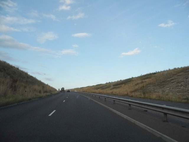
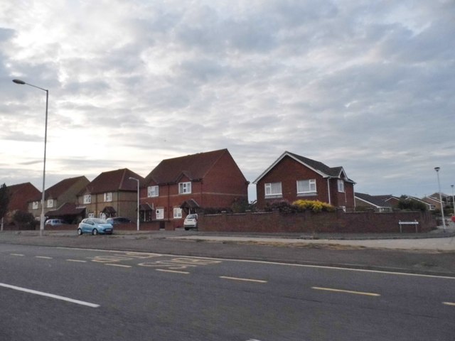
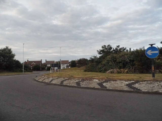
Cliffsend Point Images
Images are sourced within 2km of 51.326154/1.3718422 or Grid Reference TR3563. Thanks to Geograph Open Source API. All images are credited.


Cliffsend Point is located at Grid Ref: TR3563 (Lat: 51.326154, Lng: 1.3718422)
Administrative County: Kent
District: Thanet
Police Authority: Kent
What 3 Words
///paler.insect.frostbite. Near Ramsgate, Kent
Nearby Locations
Related Wikis
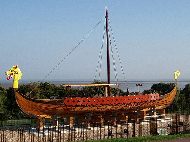
Hugin (longship)
The Hugin is a reconstructed longship located at Pegwell Bay in Kent, England. It was a gift from the Danish government commemorating the 1500th anniversary...

Cliffsend
Cliffsend is a village (sometimes written, correctly, as Cliffs End) and civil parish situated almost 2 miles (3 km) west of Ramsgate, Kent, United Kingdom...
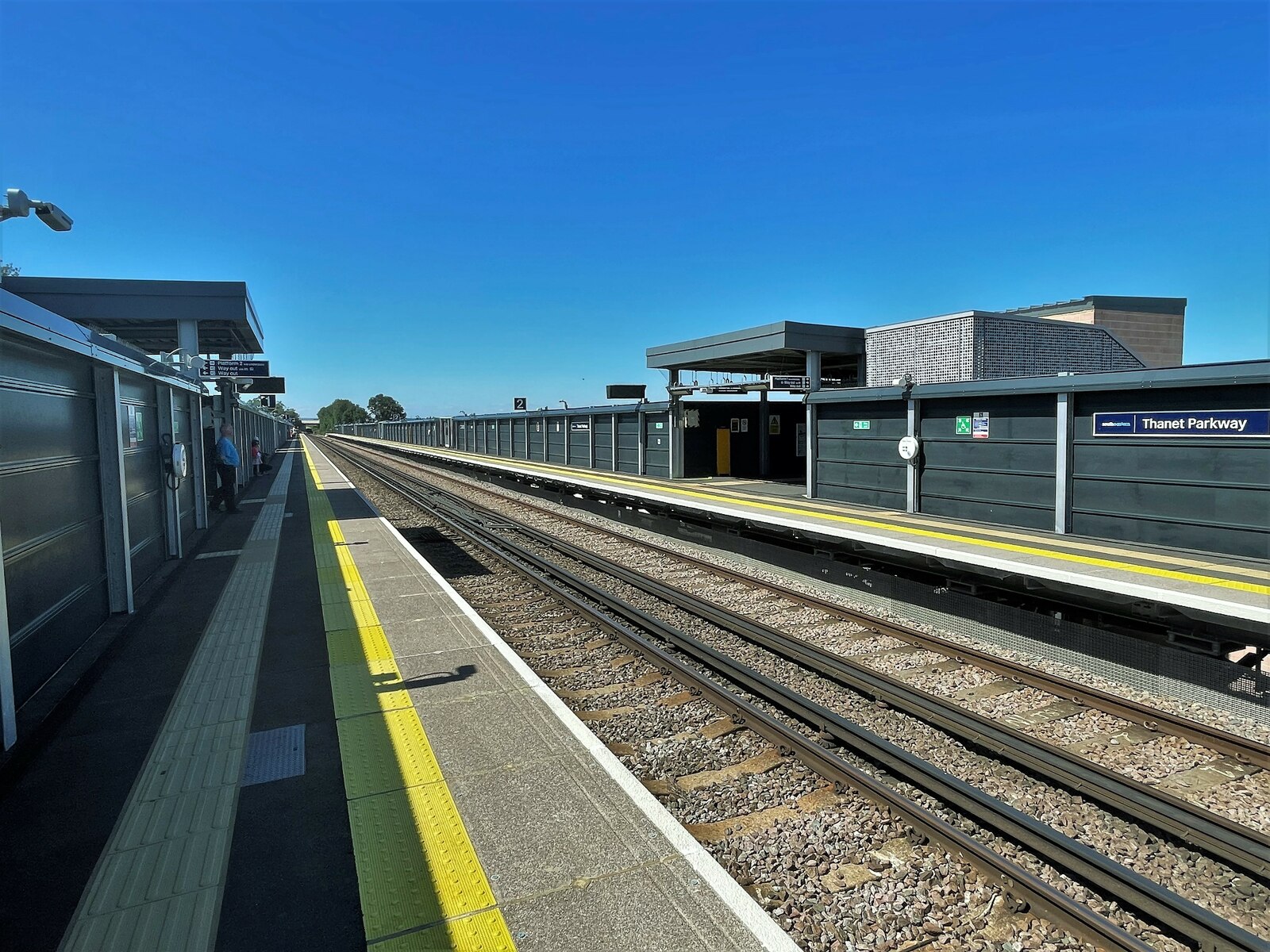
Thanet Parkway railway station
Thanet Parkway railway station is a railway station in Cliffsend, Kent, that serves Discovery Park Enterprise Zone and new housing developments. It opened...
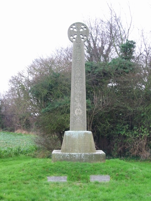
St Augustine's Cross
St Augustine's Cross is a stone memorial in Kent, in a fenced enclosure on the south side of Cottington Road, west of Cliffs End, at Pegwell Bay, Thanet...

Ebbsfleet and Cliffsend Halt railway station
Ebbsfleet and Cliffsend Halt railway station served the hamlet of Ebbsfleet, Thanet, Kent, England from 1908 to 1933 on the Kent Coast Line. == History... ==

Sandwich and Pegwell Bay
Sandwich and Pegwell Bay is a 615-hectare (1,520-acre) nature reserve in Kent, managed by the Kent Wildlife Trust. It is a National Nature Reserve, and...

Lord of the Manor, Kent
The Lord of the Manor is a former pub and road junction near Cliffsend on the Isle of Thanet in Kent. Two main roads, the A299 and A256 meet here and connect...

Sevenscore
Sevenscore is a hamlet on the B2048 secondary road about one mile (1.6 km) east of Minster-in-Thanet in Kent, England. It is in the civil parish of Minster...
Nearby Amenities
Located within 500m of 51.326154,1.3718422Have you been to Cliffsend Point?
Leave your review of Cliffsend Point below (or comments, questions and feedback).