The Knolls
Coastal Marsh, Saltings in Suffolk East Suffolk
England
The Knolls

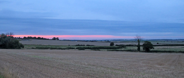
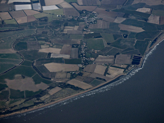
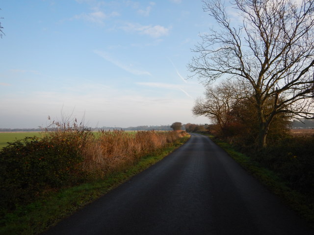
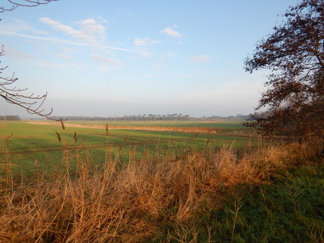
The Knolls in Suffolk is a remarkable coastal marsh and saltings area located in the eastern region of England. Spread over a vast area, The Knolls is known for its unique natural beauty and diverse ecosystem.
The marshland is predominantly characterized by its salt-tolerant vegetation, which includes various types of grasses, shrubs, and reeds. These plants have adapted to the coastal environment and provide essential habitats for numerous species of birds, insects, and small mammals. The Knolls is renowned for being a crucial breeding ground for several bird species, such as avocets, redshanks, and lapwings.
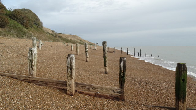
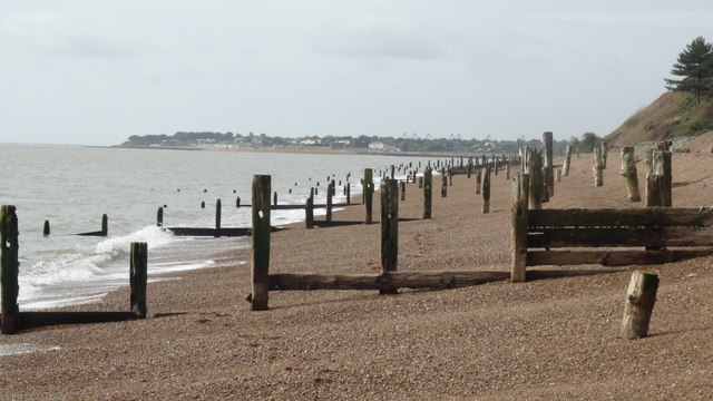
The landscape of The Knolls is defined by its ever-changing tidal patterns, resulting in a mosaic of saltmarsh creeks, mudflats, and sandbanks. The constant ebb and flow of the tides contribute to the formation of salt pans and channels, creating a dynamic environment that supports a wide range of marine life.
The diverse range of habitats found within The Knolls makes it an ideal location for nature enthusiasts and birdwatchers alike. The reserve offers multiple walking trails and bird hides to allow visitors to observe the wildlife in their natural habitats without disturbing them.
Managed by a local conservation organization, The Knolls is also an important site for scientific research and monitoring. The reserve plays a crucial role in understanding the effects of climate change and sea-level rise on coastal ecosystems, making it a valuable resource for scientists and researchers.
Overall, The Knolls in Suffolk is a significant coastal marsh and saltings area that showcases the beauty and importance of preserving natural habitats for the benefit of both wildlife and humans.
If you have any feedback on the listing, please let us know in the comments section below.
The Knolls Images
Images are sourced within 2km of 51.985287/1.3949006 or Grid Reference TM3337. Thanks to Geograph Open Source API. All images are credited.


The Knolls is located at Grid Ref: TM3337 (Lat: 51.985287, Lng: 1.3949006)
Administrative County: Suffolk
District: East Suffolk
Police Authority: Suffolk
What 3 Words
///placed.interview.dislodge. Near Felixstowe, Suffolk
Nearby Locations
Related Wikis
River Deben
The River Deben is a river in Suffolk rising to the west of Debenham, though a second, higher source runs south from the parish of Bedingfield. The river...

Felixstowe Ferry
Felixstowe Ferry is a hamlet in Suffolk, England, approximately two miles northeast of Felixstowe at the mouth of the River Deben with a ferry to the Bawdsey...

Bawdsey Manor
Bawdsey Manor stands at a prominent position at the mouth of the River Deben close to the village of Bawdsey in Suffolk, England, about 75 miles (120 km...

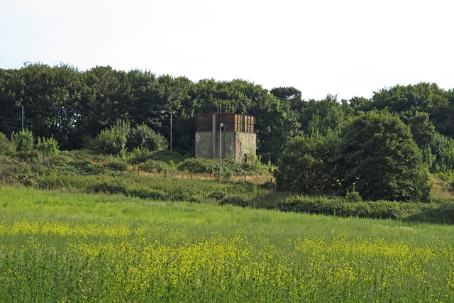
RAF Bawdsey
Royal Air Force Bawdsey or more simply RAF Bawdsey is a former Royal Air Force station situated on the eastern coast in Suffolk, England. Also known as...

Felixstowe Ferry Golf Club
The Felixstowe Ferry Golf Club is in Felixstowe, Suffolk, England. == History == The club was founded in 1880. Francis Charteris, Lord Elcho, is considered...
Walton Castle, Suffolk
Walton Castle was a Saxon Shore Fort in the Roman province of Britannia. The fort was reused by the Normans who used it as the bailey for a castle. It...

Bawdsey Cliff
Bawdsey Cliff is a 17.4-hectare (43-acre) geological Site of Special Scientific Interest north-east of Felixstowe in Suffolk. It is a Geological Conservation...

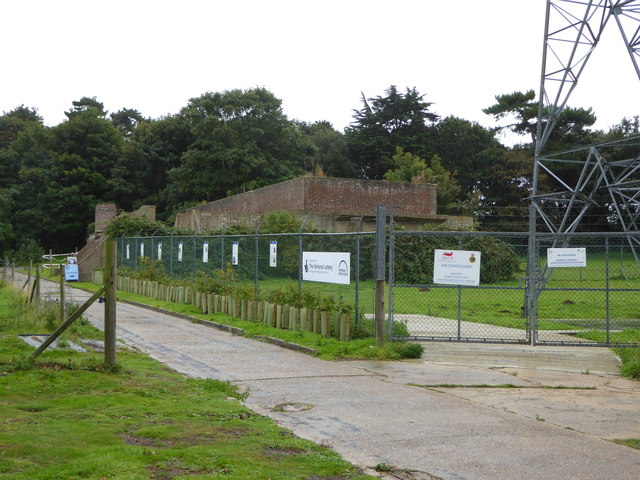
Brackenbury Battery
Brackenbury Battery was a small coastal artillery fort located just north of Felixstowe, England,and initially known as Felixstowe Battery. It opened in...
Related Videos
Walking on Ice Asmr - Type Video , on the Marshes at Bawdsey Quay , Uk 🇬🇧 😀 👌 👍❄️😃
In this Video , I walk on the Ice at the Bawdsey Quay Marshes on a Bitterly Cold Thursday Afternoon . I found the Crunchy Ice ...

Social distancing done right!
Yesterday we went to the beach and I was so proud of how well everyone social distanced but still enjoyed the day. Lovely family ...
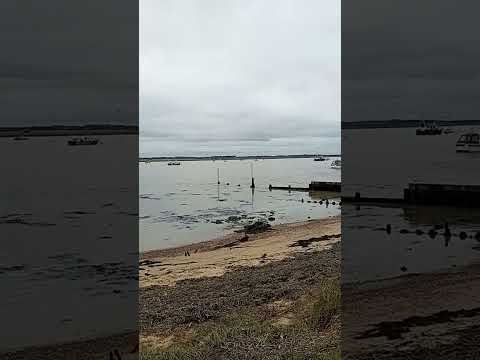
Large Flock of Geese at Bawdsey Quay, suffolk Uk 🇬🇧 😃
This Video was Taken 4 Days ago on Friday 12Th January 2024 and it Shows a fairly Large Flock of Geese at Bawdsey Quay ...

Bawdsey Beach,
Just a little video of how this place looks like. A just a little note about this place..A motorized ferry service operates in the summer ...
Nearby Amenities
Located within 500m of 51.985287,1.3949006Have you been to The Knolls?
Leave your review of The Knolls below (or comments, questions and feedback).