Alderton Marshes
Coastal Marsh, Saltings in Suffolk East Suffolk
England
Alderton Marshes
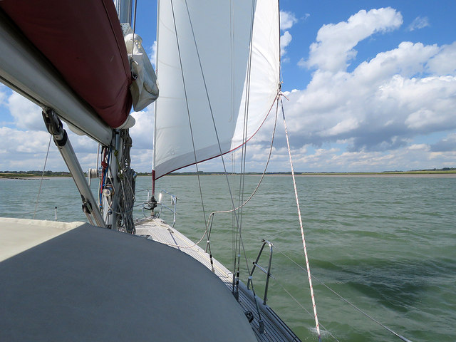
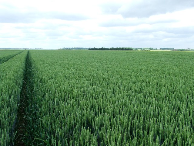
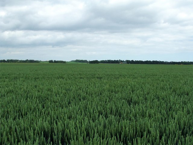
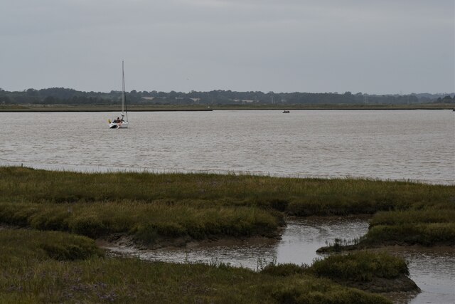
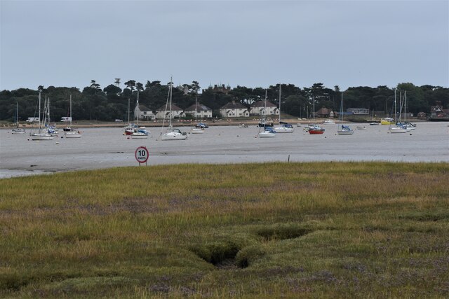
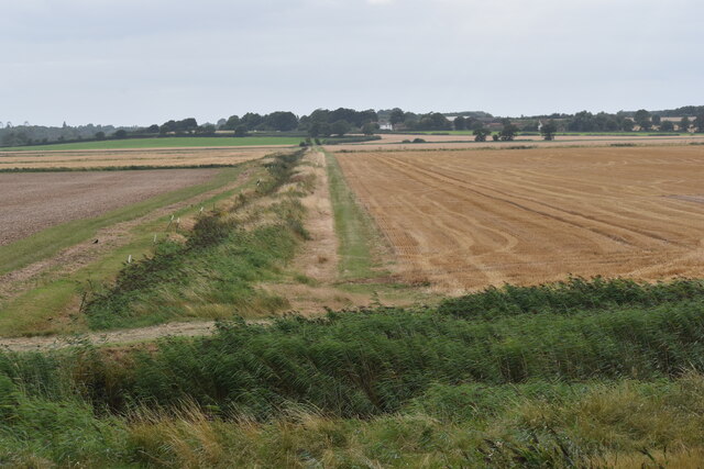
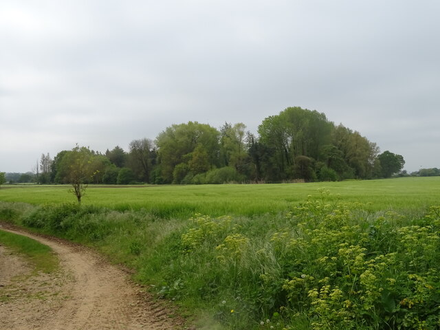
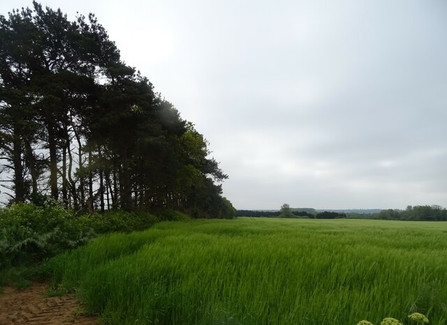
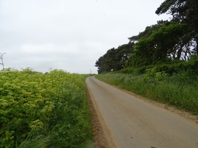
Alderton Marshes, located in Suffolk, England, is a picturesque coastal marshland that boasts a unique and diverse ecosystem. Covering an area of approximately 160 acres, the marshes are a combination of marshland and saltings, making it a haven for a wide range of plant and animal species.
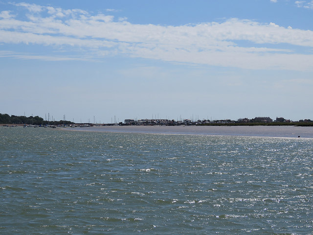
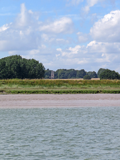
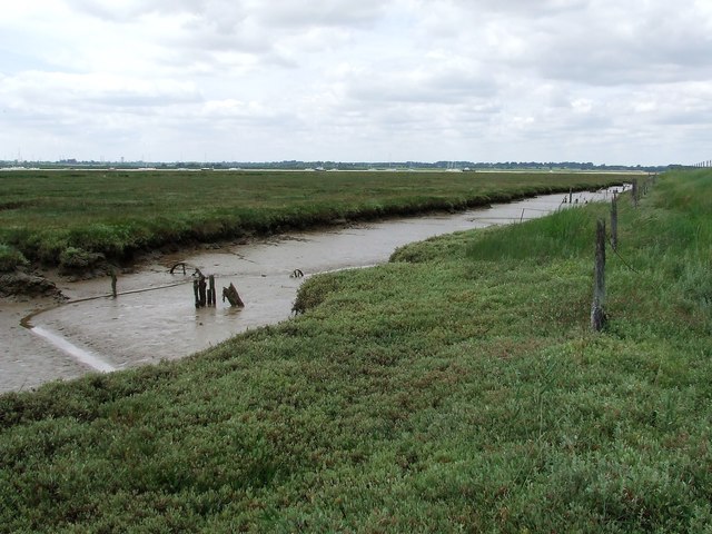
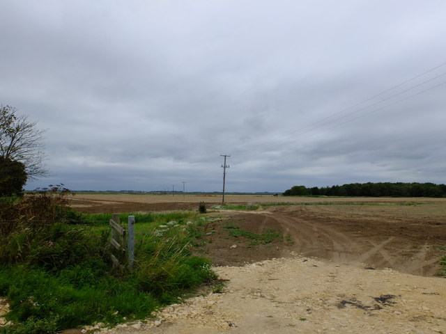
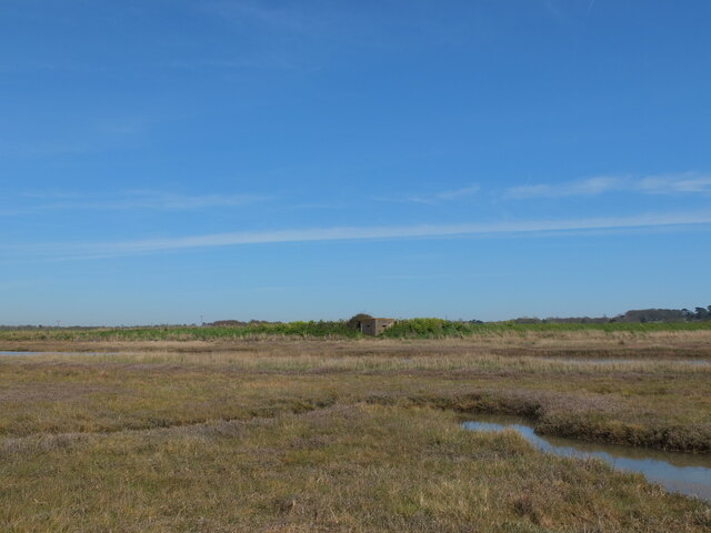
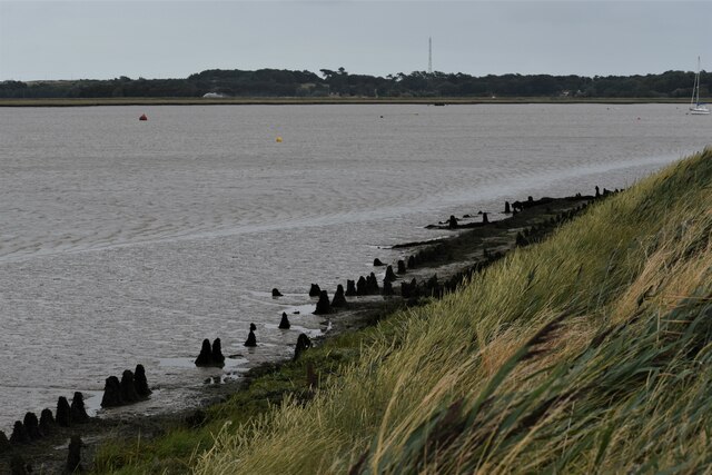
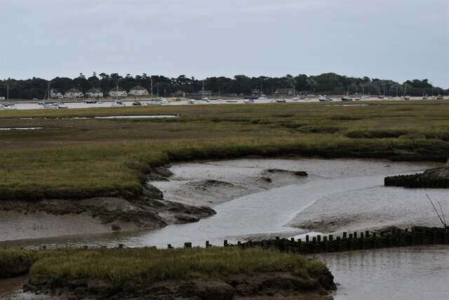
The marshes are characterized by their flat, low-lying landscape, with extensive salt marshes and mudflats that are influenced by the tidal movements of the nearby North Sea. This dynamic environment provides a rich feeding ground for various bird species, attracting birdwatchers and nature enthusiasts from far and wide.
The plant life in Alderton Marshes is equally impressive, with a variety of salt-tolerant vegetation such as sea lavender, samphire, and thrift. These plants not only add splashes of vibrant color to the landscape but also serve as vital habitats for insects and other invertebrates.
The marshes are home to a diverse array of bird species, including Brent geese, avocets, oystercatchers, and various types of wading birds. These feathered inhabitants can be observed throughout the year, with different species being more prominent during specific seasons.
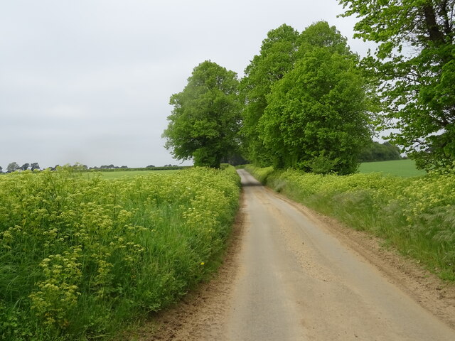
Visitors to Alderton Marshes can enjoy a range of activities, including birdwatching, nature walks, and photography. There are well-marked trails that allow visitors to explore the marshes while minimizing any impact on the delicate ecosystem.
Overall, Alderton Marshes in Suffolk offers a unique and captivating coastal marshland experience, providing visitors with the opportunity to immerse themselves in the beauty of nature and witness the intricate balance of life in a fragile and ever-changing environment.
If you have any feedback on the listing, please let us know in the comments section below.
Alderton Marshes Images
Images are sourced within 2km of 52.011613/1.38777 or Grid Reference TM3240. Thanks to Geograph Open Source API. All images are credited.
Alderton Marshes is located at Grid Ref: TM3240 (Lat: 52.011613, Lng: 1.38777)
Administrative County: Suffolk
District: East Suffolk
Police Authority: Suffolk
What 3 Words
///unheated.skim.enter. Near Felixstowe, Suffolk
Nearby Locations
Related Wikis
Alderton, Suffolk
Alderton is a village and civil parish in the East Suffolk district of Suffolk, England, about six miles north of Felixstowe, 10 miles south-east of Woodbridge...

Bawdsey Cliff
Bawdsey Cliff is a 17.4-hectare (43-acre) geological Site of Special Scientific Interest north-east of Felixstowe in Suffolk. It is a Geological Conservation...
Bawdsey
Bawdsey is a village and civil parish in Suffolk, eastern England. Located on the other side of the river Deben from Felixstowe, it had an estimated population...

Ramsholt
Ramsholt is a small village and civil parish within the East Suffolk district, located in the county of Suffolk, England. It is situated on the northern...

RAF Bawdsey
Royal Air Force Bawdsey or more simply RAF Bawdsey is a former Royal Air Force station situated on the eastern coast in Suffolk, England. Also known as...

Felixstowe Ferry
Felixstowe Ferry is a hamlet in Suffolk, England, approximately two miles northeast of Felixstowe at the mouth of the River Deben with a ferry to the Bawdsey...

Bawdsey Manor
Bawdsey Manor stands at a prominent position at the mouth of the River Deben close to the village of Bawdsey in Suffolk, England, about 75 miles (120 km...
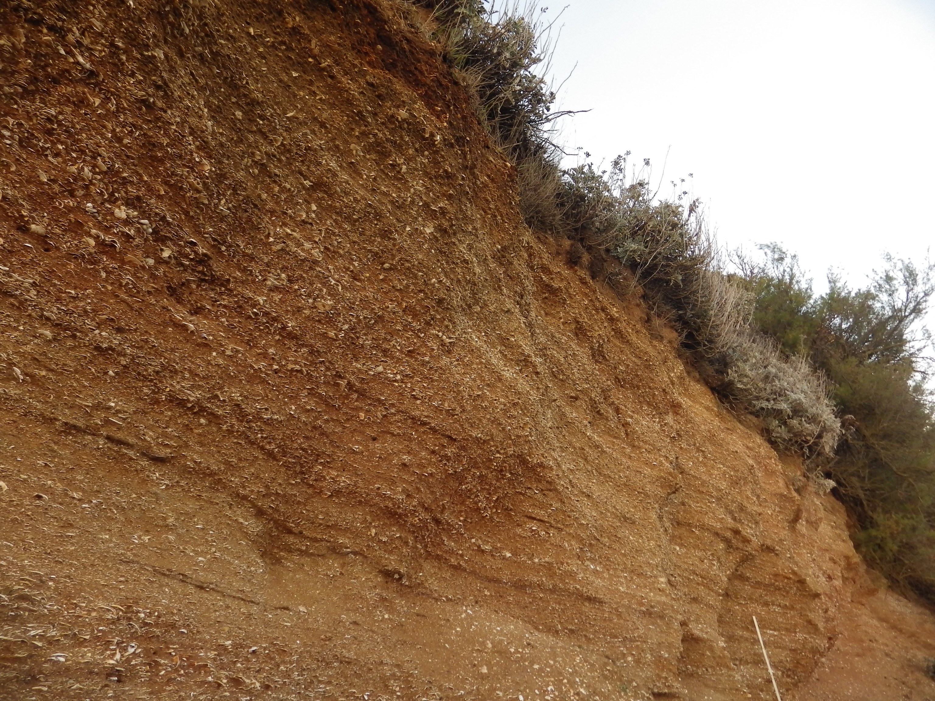
Red Crag Formation
The Red Crag Formation is a geological formation in England. It outcrops in south-eastern Suffolk and north-eastern Essex. The name derives from its iron...
Have you been to Alderton Marshes?
Leave your review of Alderton Marshes below (or comments, questions and feedback).