Rosier Marshes

Coastal Marsh, Saltings in Suffolk East Suffolk

England

Rosier Marshes

The River Deben from the air Looking over Lower Falkenhan from a Stansted bound flight from Prague.
The River Deben from the air Credit: Thomas Nugent

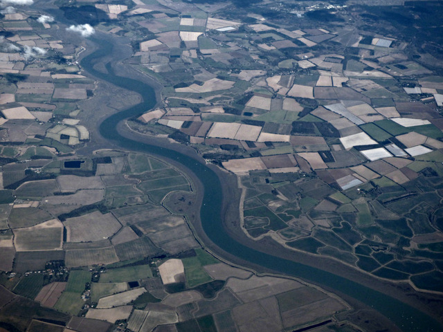
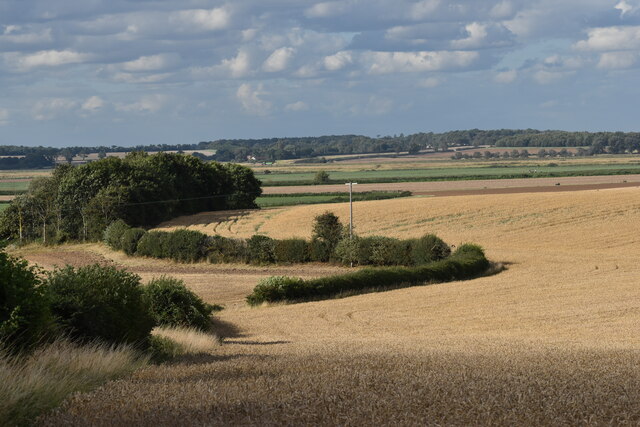
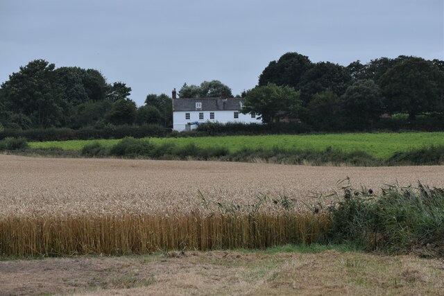
Rosier Marshes, located in Suffolk, England, is a picturesque coastal marshland encompassing a vast expanse of salt marshes and saltings. Stretching along the coast, this unique ecosystem is an essential part of the region's natural landscape and offers a haven for a diverse range of plant and animal species.

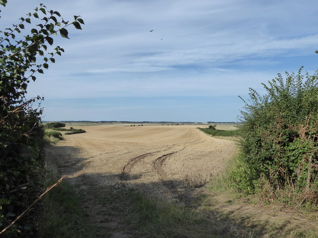
The marshes are characterized by their flat topography and are predominantly covered with salt-tolerant grasses and reeds. These plants thrive in the brackish water that floods the marsh during high tides, creating a dynamic and ever-changing environment. The marshes are also home to extensive mudflats, which provide feeding grounds for various species of migratory birds.

The marshes serve as an important habitat for numerous bird species, attracting birdwatchers and nature enthusiasts from around the world. Notable bird species that can be found in Rosier Marshes include avocets, redshanks, lapwings, and various species of ducks and geese. The area is designated as a Site of Special Scientific Interest (SSSI) and is protected under the Ramsar Convention due to its ecological significance.

Aside from its rich avian population, Rosier Marshes also supports a wide variety of other wildlife. The marshes provide a breeding ground for marsh harriers, as well as offering a home to water voles, otters, and numerous invertebrates.

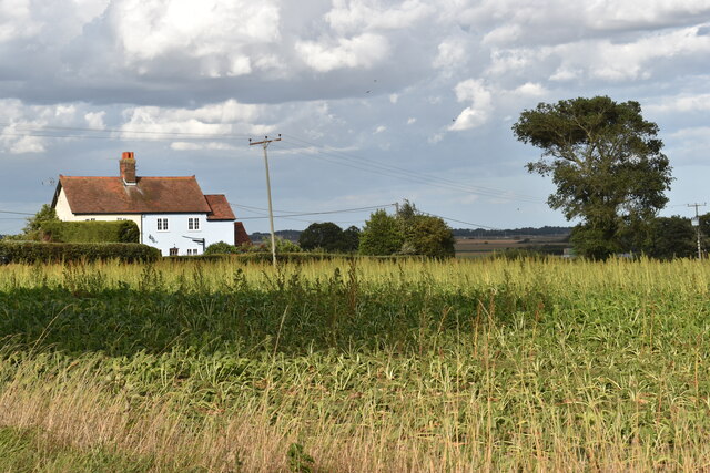
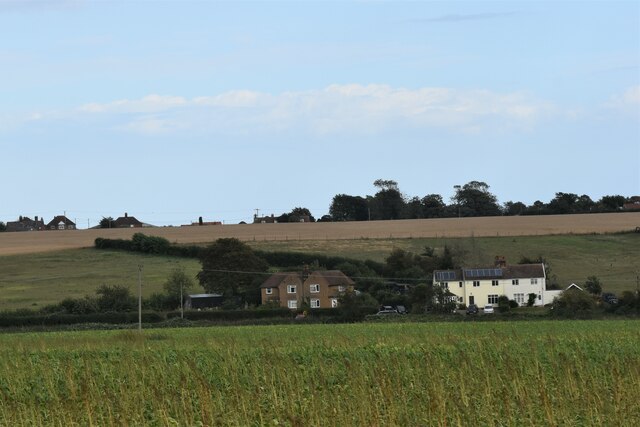
Visitors to Rosier Marshes can enjoy several walking trails and bird hides, providing opportunities to observe and appreciate the natural beauty of the area. The marshes are accessible year-round, although the best time to visit is during the spring and autumn when the bird population is at its peak.

If you have any feedback on the listing, please let us know in the comments section below.

Rosier Marshes Images

Images are sourced within 2km of 51.985916/1.3519591 or Grid Reference TM3037. Thanks to Geograph Open Source API. All images are credited.

The River Deben from the air Looking over Lower Falkenhan from a Stansted bound flight from Prague.
The River Deben from the air
Looking over Lower Falkenhan from a Stansted bound flight from Prague.
Holmhill Farm According to his article <span class="nowrap"><a title="http://www.ipswichstar.co.uk/news/heyday-of-abandoned-farm-recalled-1-202853" rel="nofollow ugc noopener" href="http://www.ipswichstar.co.uk/news/heyday-of-abandoned-farm-recalled-1-202853">Link</a><img style="margin-left:2px;" alt="External link" title="External link - shift click to open in new window" src="https://s1.geograph.org.uk/img/external.png" width="10" height="10"/></span> from 2009, the farm was abandoned as a result of the 1953 floods.
Holmhill Farm
According to his article LinkExternal link from 2009, the farm was abandoned as a result of the 1953 floods.
Track near Holmhill Farm
Stubble field near Rue's Farm
Cottages on Gulpher Road
Houses on Gulpher Road, Felixstowe Looking east from the road near Hill House Farm.
Houses on Gulpher Road, Felixstowe
Looking east from the road near Hill House Farm.
Farmland on the Deben estuary Looking north from Marsh Lane near Rue's Farm.
Farmland on the Deben estuary
Looking north from Marsh Lane near Rue's Farm.
View of Waltom Marshes from Marsh Lane Looking north from the lane above Rue's Farm.
View of Waltom Marshes from Marsh Lane
Looking north from the lane above Rue's Farm.
Felixstowe Marshes and the Deben estuary Looking north-east from Marsh Lane above Rue's Farm.
Felixstowe Marshes and the Deben estuary
Looking north-east from Marsh Lane above Rue's Farm.
Fleet House, Marsh Lane, Felixstowe Fleet House was formerly the farmhouse for Laurel Farm.  It has also served as a girls boarding school, but is now a farmhouse once again.
Fleet House, Marsh Lane, Felixstowe
Fleet House was formerly the farmhouse for Laurel Farm. It has also served as a girls boarding school, but is now a farmhouse once again.
Dellwood Avenue, Felixstowe
View north from Ferry Road, Felixstowe Behind the trees to the right at the masts of yachts moored in the River Deben at Felixstowe Ferry.
View north from Ferry Road, Felixstowe
Behind the trees to the right at the masts of yachts moored in the River Deben at Felixstowe Ferry.
Track leading east off Ferry Road, Felixstowe
Bungalows on Colneis Road, Felixstowe
View south off Gulpher Road
Reed-filled drainage ditches, Falkenham Marshes Looking north towards Red House Cottages.
Reed-filled drainage ditches, Falkenham Marshes
Looking north towards Red House Cottages.
Drainage ditch, Falkenham Marshes
Deben Lodge, Falkenham Deben Lodge is a late 18th Century farmhouse and Grade II Listed Building. It looks out over Falkenham Marshes.
Deben Lodge, Falkenham
Deben Lodge is a late 18th Century farmhouse and Grade II Listed Building. It looks out over Falkenham Marshes.
Show me another place!

Rosier Marshes is located at Grid Ref: TM3037 (Lat: 51.985916, Lng: 1.3519591)

Administrative County: Suffolk

District: East Suffolk

Police Authority: Suffolk

What 3 Words

///manliness.design.perky. Near Felixstowe, Suffolk

Nearby Locations

Rosier Marshes

Related Wikis

Falkenham

Falkenham is a village and a civil parish in the East Suffolk district, in the English county of Suffolk, near the village of Kirton and the towns of Ipswich...

Ipswich Town F.C. Women

Ipswich Town Football Club Women is a women's team affiliated with Ipswich Town Football Club. They currently compete in the FA Women's Premier League...

Felixstowe & Walton United F.C.

Felixstowe and Walton United Football Club is a football club based in Felixstowe, Suffolk, England. Formed in 2000 by a merger of Felixstowe Port & Town...

Upper Mill, Walton

Upper Mill or Walton Mill is a Grade II listed smock mill at Walton, Suffolk, England, which has been conserved. == History == Upper Mill was built in...

Nearby Amenities

Located within 500m of 51.985916,1.3519591
Barrier: stile
Lat/Long: 51.9883287/1.3474415
Power: pole
Lat/Long: 51.9815085/1.3528122
Power: pole
Lat/Long: 51.9815299/1.3535311
Power: pole
Lat/Long: 51.981482/1.3514041
Power: pole
Lat/Long: 51.9824204/1.3558727
Power: pole
Lat/Long: 51.9814903/1.352072
Power: pole
Lat/Long: 51.9822073/1.3550439
Power: pole
Lat/Long: 51.9819562/1.3544149
The data included in this document is from www.openstreetmap.org. The data is made available under ODbL.

Have you been to Rosier Marshes?

Leave your review of Rosier Marshes below (or comments, questions and feedback).