Graveney Marshes
Coastal Marsh, Saltings in Kent Swale
England
Graveney Marshes
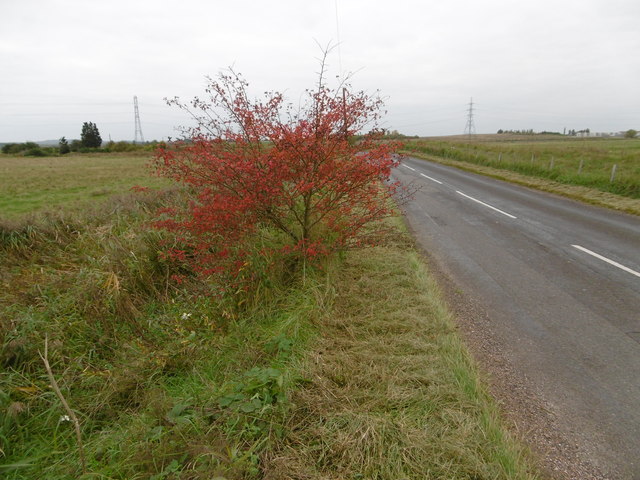
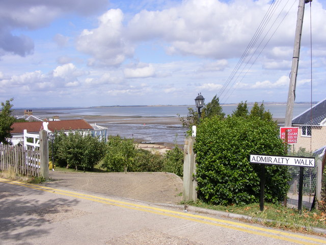
Graveney Marshes, located in Kent, England, is a coastal marshland characterized by its vast expanse of salt marshes and saltings. Stretching over an area of approximately 1,500 acres, this unique and biodiverse landscape is an important habitat for a wide range of flora and fauna.
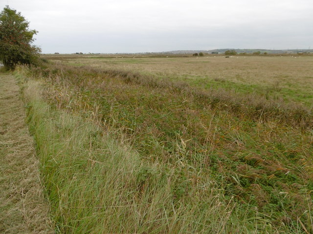
The marshes are situated along the coastline of the Thames Estuary, adjacent to the North Sea. The area is largely influenced by tidal patterns, with the marshes being regularly flooded by saltwater during high tides. This constant ebb and flow of seawater has resulted in the formation of extensive salt marshes, characterized by their rich, mineral-laden soil and the presence of various salt-tolerant plants.
The vegetation in Graveney Marshes is composed of a diverse range of grasses, sedges, and other herbaceous plants. Common species include sea aster, sea lavender, and sea purslane. These plants not only provide an important food source for numerous bird species but also help stabilize the marshes' delicate ecosystem, preventing erosion and providing a habitat for various invertebrates.
The marshes are renowned for their birdlife, attracting both resident and migratory species. Throughout the year, visitors can spot a plethora of bird species, including Brent geese, wigeons, lapwings, and various types of waders. The marshes also provide nesting grounds for rare and endangered species such as the little tern and the marsh harrier.
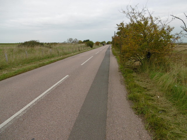
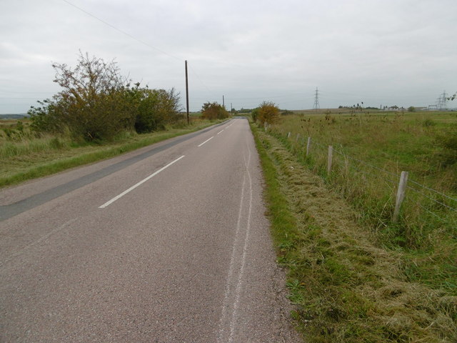
Due to its ecological significance, Graveney Marshes has been designated as a Site of Special Scientific Interest (SSSI) and is protected under international conservation agreements. The marshes offer a tranquil and scenic environment for visitors to explore, with several footpaths and observation points providing opportunities to appreciate the area's natural beauty and diverse wildlife.
If you have any feedback on the listing, please let us know in the comments section below.
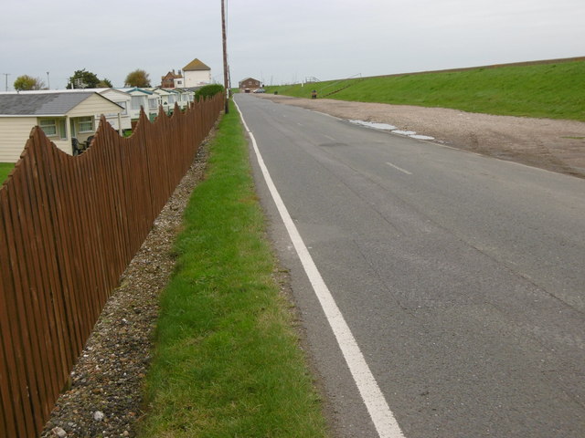
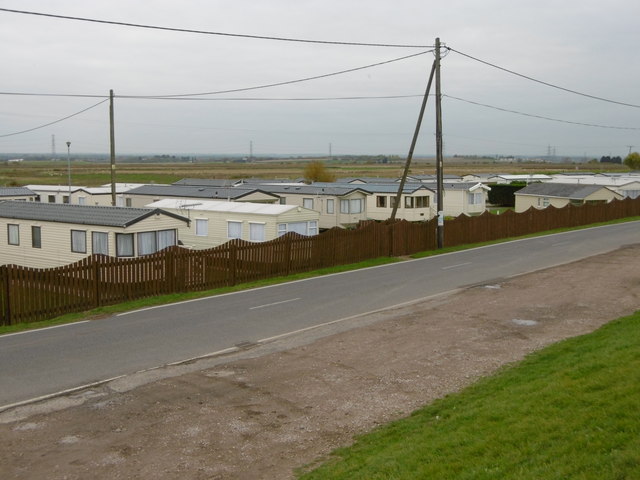
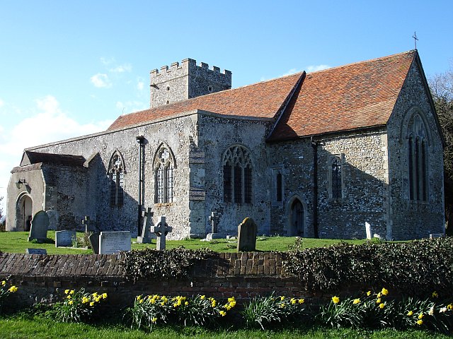
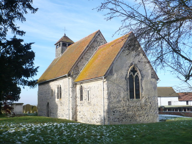
Graveney Marshes Images
Images are sourced within 2km of 51.33678/0.95584536 or Grid Reference TR0563. Thanks to Geograph Open Source API. All images are credited.


Graveney Marshes is located at Grid Ref: TR0563 (Lat: 51.33678, Lng: 0.95584536)
Administrative County: Kent
District: Swale
Police Authority: Kent
What 3 Words
///unwell.atlas.drain. Near Faversham, Kent
Nearby Locations
Related Wikis

Battle of Graveney Marsh
The Battle of Graveney Marsh, on the night of 27 September 1940 in Kent, England, was the last ground engagement involving a foreign force to take place...

Project Fortress
Project Fortress (formerly Cleve Hill Solar Farm) is a photovoltaic power station under construction on the Graveney marshes between Faversham and Whitstable...
Graveney
Graveney is a village and former civil parish, now in the parish of Graveney with Goodnestone, in the Swale district, in Kent, England. It is located between...

South Swale
South Swale is a 410.5-hectare (1,014-acre) Local Nature Reserve (as South Bank of the Swale) north of Faversham in Kent. It is owned by Kent County Council...

Seasalter Levels
Seasalter Levels is a 71.4-hectare (176-acre) Local Nature Reserve in Seasalter, on the western outskirts of Whitstable in Kent. It is owned and managed...
Goodnestone, Swale
Goodnestone is a village and former civil parish, now in the parish of Graveney with Goodnestone, in the Swale district of Kent, England. The village is...
St Bartholomew's Church, Goodnestone
St Bartholomew's Church is a redundant Anglican church in the village of Goodnestone, Kent, England. It is recorded in the National Heritage List for...
Seasalter
Seasalter is a village (and district council ward) in the Canterbury District of Kent, England. Seasalter is on the north coast of Kent, between the towns...
Related Videos

Whitstable Street Walking
This video was recorded on the evening of 22 August 2022 at around 19:00 Hrs while I was walking along the spit of land called ...

Whitstable Seafood Day-out
Whitstable Bay, UK. Seafood. Sun. Sand (and pebbles).

A New Day Festival Thursday 19th
setting up stall for A New Day Festival 2021.

Tasting the BEST cherries in England! // Mount Ephraim Gardens and Cherry Farm
cherries #mountephraimgardens #kent Cherries are the most delicious fruit in the world!!! Where better to sample them in Kent, ...
Nearby Amenities
Located within 500m of 51.33678,0.95584536Have you been to Graveney Marshes?
Leave your review of Graveney Marshes below (or comments, questions and feedback).