Blackedge Point
Coastal Marsh, Saltings in Essex Rochford
England
Blackedge Point

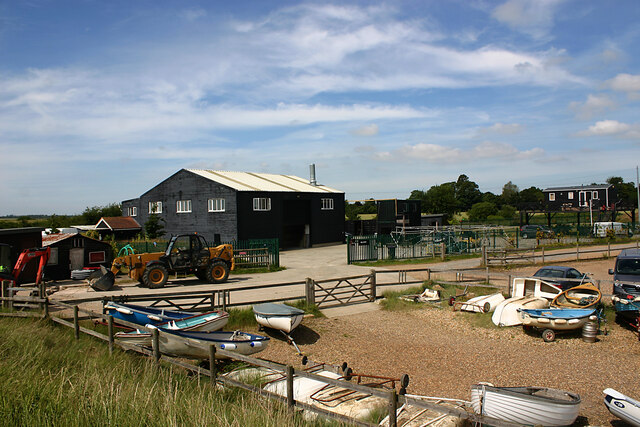
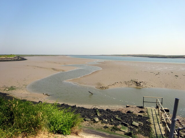
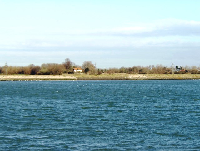
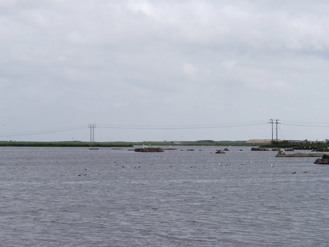
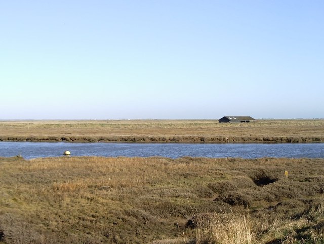
Blackedge Point is a picturesque coastal marsh located in Essex, England. Situated along the Blackwater Estuary, it is renowned for its stunning saltings and diverse ecosystem. The area covers a vast expanse of approximately 100 acres, making it a popular destination for nature lovers and birdwatchers alike.
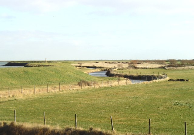
The landscape of Blackedge Point is characterized by its marshy terrain, dotted with small creeks and tidal channels. The marshes are rich in salt-tolerant grasses and plants, creating a unique habitat for a variety of bird species, mammals, and marine life. The salt marshes are especially attractive to wading birds, including oystercatchers, redshanks, and curlews, which can be spotted foraging along the muddy banks during low tide.
Blackedge Point offers visitors the opportunity to explore its natural beauty through a network of footpaths and trails. The pathways wind through the marshes, providing a peaceful and immersive experience in this tranquil coastal environment. The area is also home to a bird hide, allowing visitors to observe and photograph the abundant birdlife without causing disturbance.
Aside from its ecological importance, Blackedge Point offers breathtaking panoramic views of the estuary and its surrounding landscape. The ever-changing tides and light conditions create a dynamic and ever-evolving vista, making it a popular spot for photographers and artists seeking inspiration.
Blackedge Point is managed by the Essex Wildlife Trust, which ensures the conservation of this unique habitat. Their efforts include regular monitoring of wildlife populations, habitat preservation, and educational programs to raise awareness about the natural wonders of Blackedge Point.
If you have any feedback on the listing, please let us know in the comments section below.
Blackedge Point Images
Images are sourced within 2km of 51.586497/0.79468171 or Grid Reference TQ9391. Thanks to Geograph Open Source API. All images are credited.


Blackedge Point is located at Grid Ref: TQ9391 (Lat: 51.586497, Lng: 0.79468171)
Administrative County: Essex
District: Rochford
Police Authority: Essex
What 3 Words
///staple.think.hazelnuts. Near Great Wakering, Essex
Nearby Locations
Related Wikis
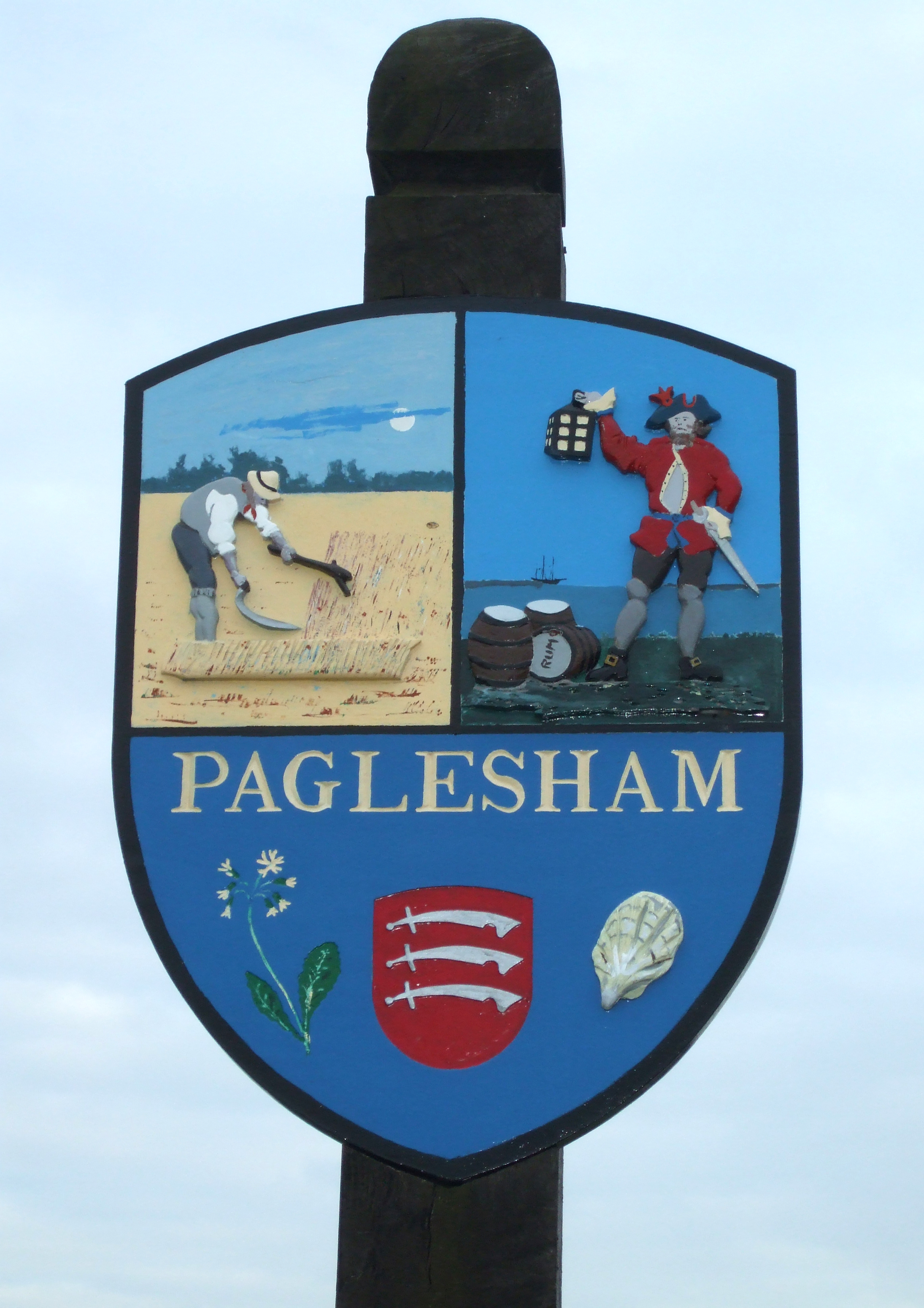
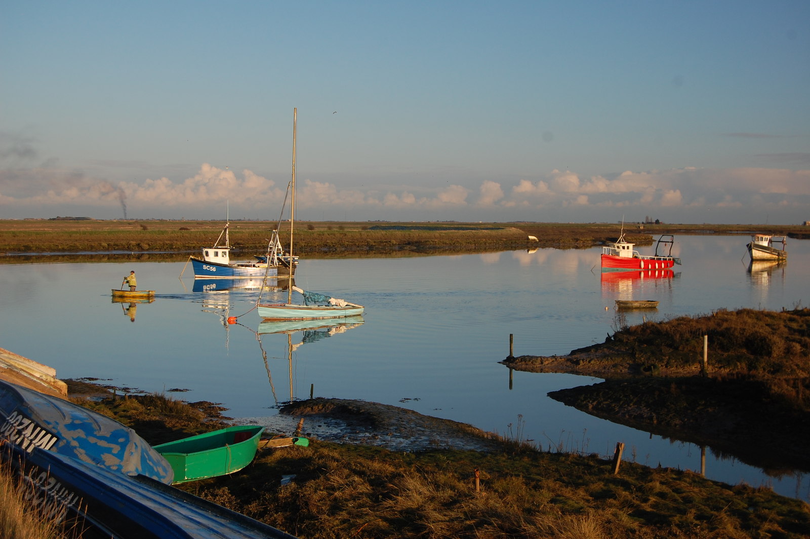
Paglesham
Paglesham ( PAG-əl-shəm) is a village and civil parish in the north east of the Rochford Rural District, Essex. The parish includes two hamlets of Eastend...

Potton Island
Potton Island is a sparsely populated island west of Foulness in Essex, England. It is connected to the mainland by a swing bridge with a traffic light...

HMS Beagle
HMS Beagle was a Cherokee-class 10-gun brig-sloop of the Royal Navy, one of more than 100 ships of this class. The vessel, constructed at a cost of £7...
Barling, Essex
Barling is a village and former civil parish, now in the civil parish of Barling Magna in the Rochford district, in the county of Essex, England. It is...

Wallasea Island
Wallasea Island lies in Essex, England. It is bounded to the north by the River Crouch, to the south east by the River Roach, and to the west by Paglesham...
Rushley Island
Rushley Island is a small uninhabited island in Essex, England. It is the smallest of six islands comprising an archipelago in Essex, and is privately...

White Ensign F.C.
White Ensign Football Club is a football club based in Southend-on-Sea, Essex, England. They are currently members of the Essex Senior League and play...
Great Wakering Rovers F.C.
Great Wakering Rovers Football Club is a football club located in Great Wakering, near Southend on Sea in Essex, England. The club are members of the Essex...
Nearby Amenities
Located within 500m of 51.586497,0.79468171Have you been to Blackedge Point?
Leave your review of Blackedge Point below (or comments, questions and feedback).