Beckermet

Settlement in Cumberland Copeland

England

Beckermet

The road to Braystones
The road to Braystones Credit: Ian S

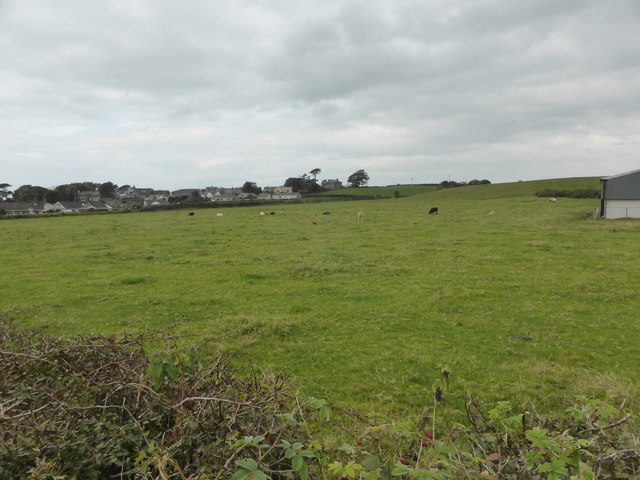
Beckermet is a small village located in the county of Cumberland, in the north-west of England. Situated within the picturesque region of Cumbria, the village is nestled in the Lake District National Park, renowned for its stunning natural beauty.

The village of Beckermet is rich in history and heritage, with evidence of human settlement dating back to the Roman era. The name "Beckermet" is derived from the Old Norse language, meaning "the meeting place by the stream." This name reflects the village's location near the River Ehen, which flows through the area.

Although Beckermet is a small village, it offers a range of amenities to its residents and visitors. The village has a church, St. John's Church, which dates back to the 12th century and is known for its beautiful stained glass windows. There is also a primary school, a post office, and a few local shops, providing essential services to the community.

Nature lovers and outdoor enthusiasts will find plenty to explore in the surrounding area. The Lake District National Park offers a wealth of hiking trails, picturesque lakes, and breathtaking landscapes. The nearby Sellafield beach is popular for its tranquil atmosphere and stunning views of the Irish Sea.

Overall, Beckermet is a charming village that combines a rich history with stunning natural surroundings. With its peaceful ambiance and proximity to the Lake District, it attracts both locals and tourists seeking a serene retreat in the heart of the English countryside.

If you have any feedback on the listing, please let us know in the comments section below.
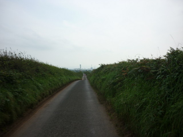
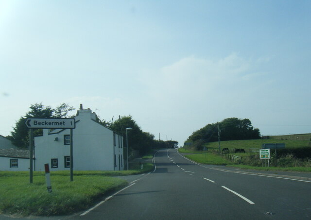
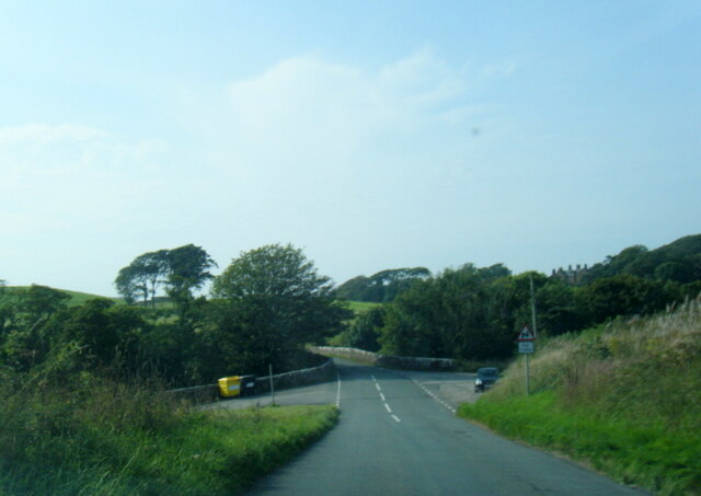
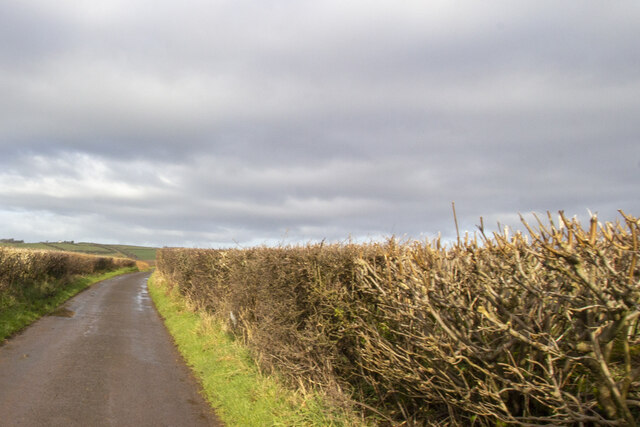
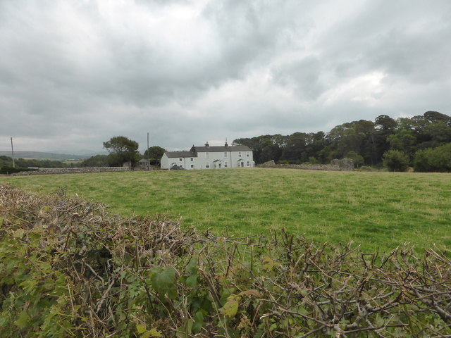
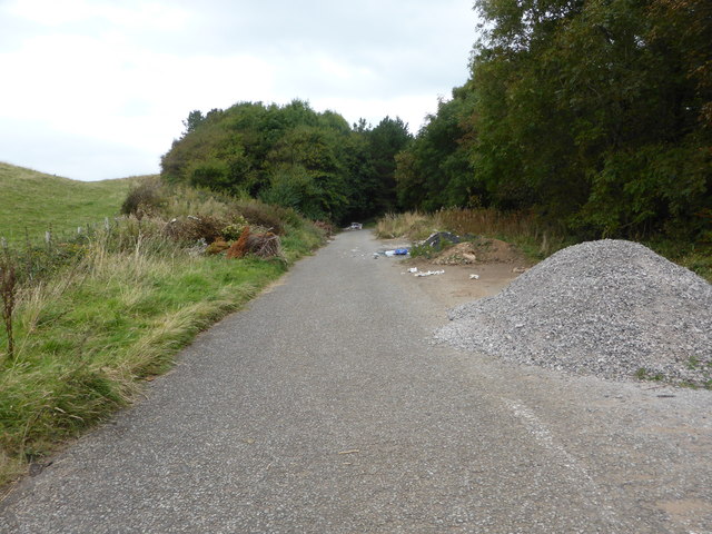
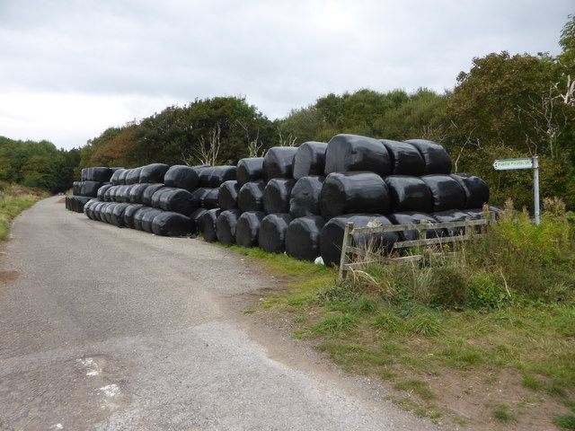
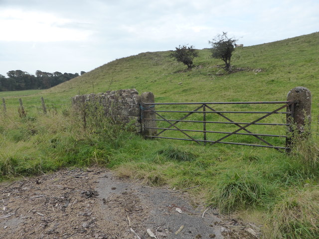
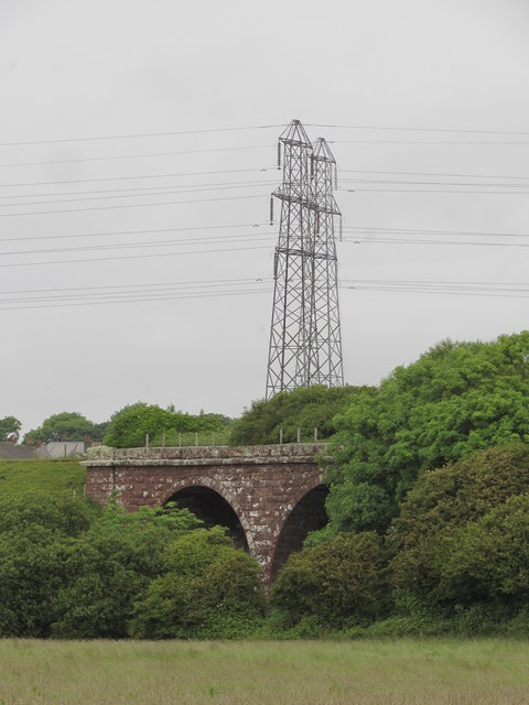
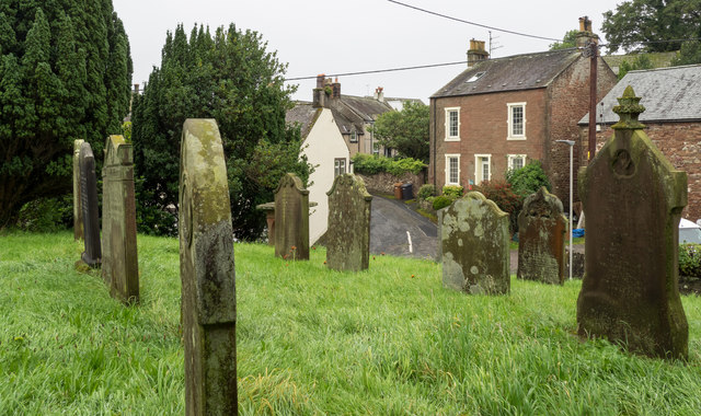
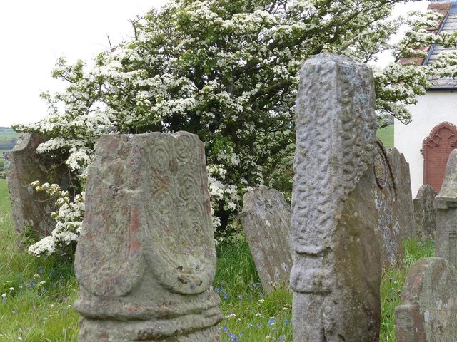
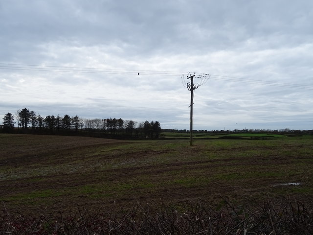
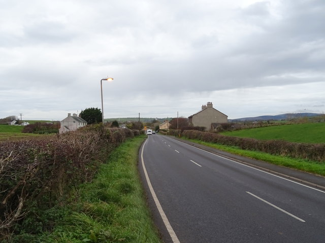
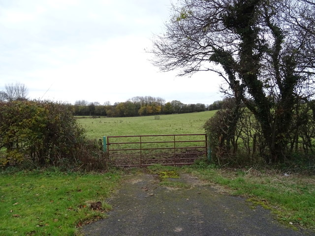
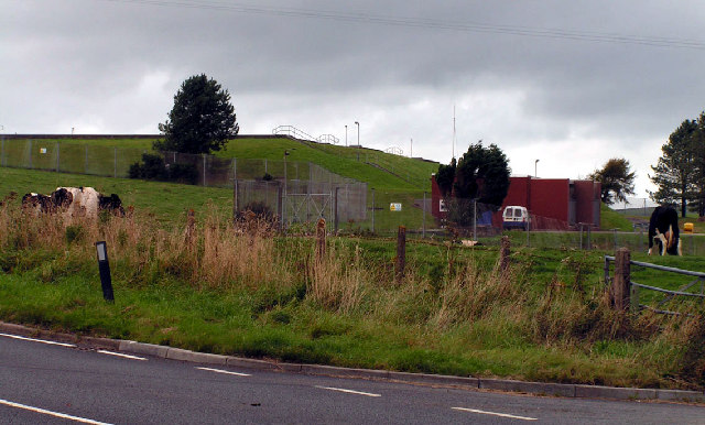
Beckermet Images

Images are sourced within 2km of 54.448015/-3.513773 or Grid Reference NY0106. Thanks to Geograph Open Source API. All images are credited.

The road to Braystones
A595 at Nursery Houses
B5345 at Kersey Bridge
Road at Sheepfields Farm Road at Sheepfields Farm bounded by hedgerows
Road at Sheepfields Farm
Road at Sheepfields Farm bounded by hedgerows
Mill Farm near Beckermet
The old road is now a dumping ground
Silage store on the old road near Beckermet The old road is now a public footpath.
Silage store on the old road near Beckermet
The old road is now a public footpath.
Castle Earthworks This is private farmland and it's not possible to get closer to the prominent castle site.
Castle Earthworks
This is private farmland and it's not possible to get closer to the prominent castle site.
Looking across the fields to Morass Road
Ordnance Survey Cut Mark This OS cut mark can be found on the roadside building at Town End Farm. It marks a point 78.367m above mean sea level.
Ordnance Survey Cut Mark
This OS cut mark can be found on the roadside building at Town End Farm. It marks a point 78.367m above mean sea level.
Ordnance Survey Cut Mark This OS cut mark can be found on the building on the south side of Mill Lane. It marks a point 29.517m above mean sea level.
Ordnance Survey Cut Mark
This OS cut mark can be found on the building on the south side of Mill Lane. It marks a point 29.517m above mean sea level.
Braystones Tower Built by local squire William Henry Watson to commemorate Queen Victoria's diamond jubilee in 1897. On this side a sandstone plaque was inserted in c.1920 to record the names of the men of the parish who served in the Great War. 
The tower was built of snecked sandstone rubble with roughly dressed quoins and tooled dressings. It was formerly floored (now gutted) 3 stages with battlemented parapet (slightly corbelled) and corner turret. The local farmer climbed to the top in 2012 to fly the flag for Queen Elizabeth's diamond jubilee; see his story and attempts to save the tower here: <span class="nowrap"><a title="http://www.fwi.co.uk/farm-life/farmer-has-towering-restoration-ambition.htm" rel="nofollow ugc noopener" href="http://www.fwi.co.uk/farm-life/farmer-has-towering-restoration-ambition.htm">Link</a><img style="margin-left:2px;" alt="External link" title="External link - shift click to open in new window" src="https://s1.geograph.org.uk/img/external.png" width="10" height="10"/></span>
Braystones Tower
Built by local squire William Henry Watson to commemorate Queen Victoria's diamond jubilee in 1897. On this side a sandstone plaque was inserted in c.1920 to record the names of the men of the parish who served in the Great War. The tower was built of snecked sandstone rubble with roughly dressed quoins and tooled dressings. It was formerly floored (now gutted) 3 stages with battlemented parapet (slightly corbelled) and corner turret. The local farmer climbed to the top in 2012 to fly the flag for Queen Elizabeth's diamond jubilee; see his story and attempts to save the tower here: LinkExternal link
Kirk Beck Viaduct & modern pylons Built by the Whitehaven, Cleator and Egremont Railway in 1857 it later joined with the Furness Railway to give access for coal & iron ore trains to reach ports like Barrow and Workington. The line closed after the last of the mines shut in the 1980's but it was not until 1993 that the tracks were lifted. Some of the line is now a rail trail.
Kirk Beck Viaduct & modern pylons
Built by the Whitehaven, Cleator and Egremont Railway in 1857 it later joined with the Furness Railway to give access for coal & iron ore trains to reach ports like Barrow and Workington. The line closed after the last of the mines shut in the 1980's but it was not until 1993 that the tracks were lifted. Some of the line is now a rail trail.
Gravestones at St. John's Church, Beckermet The memorials seen are on the south side of the church; houses of the village lie beyond.
Gravestones at St. John's Church, Beckermet
The memorials seen are on the south side of the church; houses of the village lie beyond.
Old Wayside Crosses in St Bridget's churchyard, Beckermet Beckermet Crosses, in the churchyard, in parish of St Bridget Beckermet (Copeland District), St Bridget's church, by the road to Middlebank Farm.

Scheduled Monument.
List Entry Number: 1012644 <span class="nowrap"><a title="https://historicengland.org.uk/listing/the-list/list-entry/1012644" rel="nofollow ugc noopener" href="https://historicengland.org.uk/listing/the-list/list-entry/1012644">Link</a><img style="margin-left:2px;" alt="External link" title="External link - shift click to open in new window" src="https://s1.geograph.org.uk/img/external.png" width="10" height="10"/></span>

To be surveyed

Milestone Society National ID: CBCL_SBR
Old Wayside Crosses in St Bridget's churchyard, Beckermet
Beckermet Crosses, in the churchyard, in parish of St Bridget Beckermet (Copeland District), St Bridget's church, by the road to Middlebank Farm. Scheduled Monument. List Entry Number: 1012644 LinkExternal link To be surveyed Milestone Society National ID: CBCL_SBR
Field and power lines, Calder Bridge Off the A595.
Field and power lines, Calder Bridge
Off the A595.
A595 towards Egremont
Field entrance off the A595, Blackbeck
Show me another place!

Beckermet is located at Grid Ref: NY0106 (Lat: 54.448015, Lng: -3.513773)

Administrative County: Cumbria

District: Copeland

Police Authority: Cumbria

What 3 Words

///exhaling.warrior.boardroom. Near Egremont, Cumbria

Nearby Locations

Beckermet

Related Wikis

Related Videos

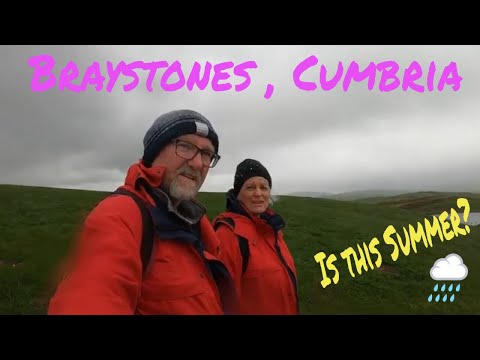
Braystones. Walking the coastal path whilst on our motorhome adventure

Walking south along the coastal Path towards Braystones whilst on our Motorhome adventure. The weather was changeable but ...

English Lake District Gems-5

Calderbridge to Ennerdale Bridge. On this part, we leave the A595 and head towards Ennerdale. We hadn't ventured over to this ...

The Tree House Cumbria Garden Walk

The holiday cottage has a wonderful garden with three areas to relax or for pets and children to explore.

The Tree House Cumbria walk down the Garden

A short walk up the garden of this unique holiday cottage.

Nearby Amenities

Located within 500m of 54.448015,-3.513773
Post Box
Post Box Type: lamp
Ref: CA21 92
Lat/Long: 54.4458933/-3.5139424
Leisure: playground
Lat/Long: 54.4457021/-3.51381
Turning Circle
Lat/Long: 54.4485104/-3.515286
Turning Circle
Lat/Long: 54.4480581/-3.5146852
Turning Circle
Source: Bing
Lat/Long: 54.4500355/-3.5188135
Turning Circle
Lat/Long: 54.4459351/-3.5167288
Bus Stop
Post Office (S bound)
Naptan AtcoCode: 090050251341
Naptan Bearing: S
Naptan BusStopType: CUS
Naptan CommonName: Post Office (S bound)
Naptan Indicator: o/s
Naptan Landmark: Post Office on Beckermet Bridge
Naptan NaptanCode: cumawgjp
Naptan Street: No name
Naptan Verified: no
Source: naptan_import
Lat/Long: 54.4460612/-3.5142787
Post Office (N bound)
Naptan AtcoCode: 090050253541
Naptan Bearing: NW
Naptan BusStopType: CUS
Naptan CommonName: Post Office (N bound)
Naptan Indicator: opp
Naptan Landmark: Post Office on Beckermet Bridge
Naptan NaptanCode: cumawgmp
Naptan Street: No name
Naptan Verified: no
Source: naptan_import
Lat/Long: 54.4460091/-3.5147467
Cross Fragments
Historic: memorial
Lat/Long: 54.4463269/-3.5146692
Beckermet
Place: village
Lat/Long: 54.446161/-3.5154619
Power: pole
Lat/Long: 54.4490836/-3.5150386
Power: pole
Lat/Long: 54.4497971/-3.515494
Power: pole
Lat/Long: 54.4505749/-3.5160256
Power: pole
Lat/Long: 54.451182/-3.5163953
Power: pole
Lat/Long: 54.4516418/-3.5166792
Power: pole
Lat/Long: 54.4492/-3.5110655
Power: pole
Lat/Long: 54.451295/-3.5185924
The data included in this document is from www.openstreetmap.org. The data is made available under ODbL.

Have you been to Beckermet?

Leave your review of Beckermet below (or comments, questions and feedback).