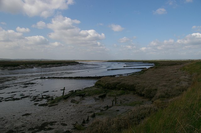
Black Point
Coastal Marsh, Saltings in Essex Rochford
England
Black Point

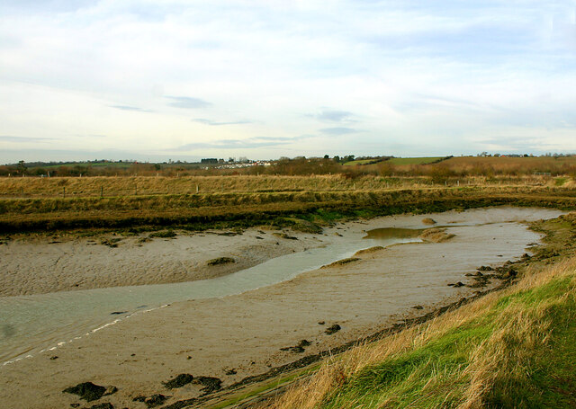
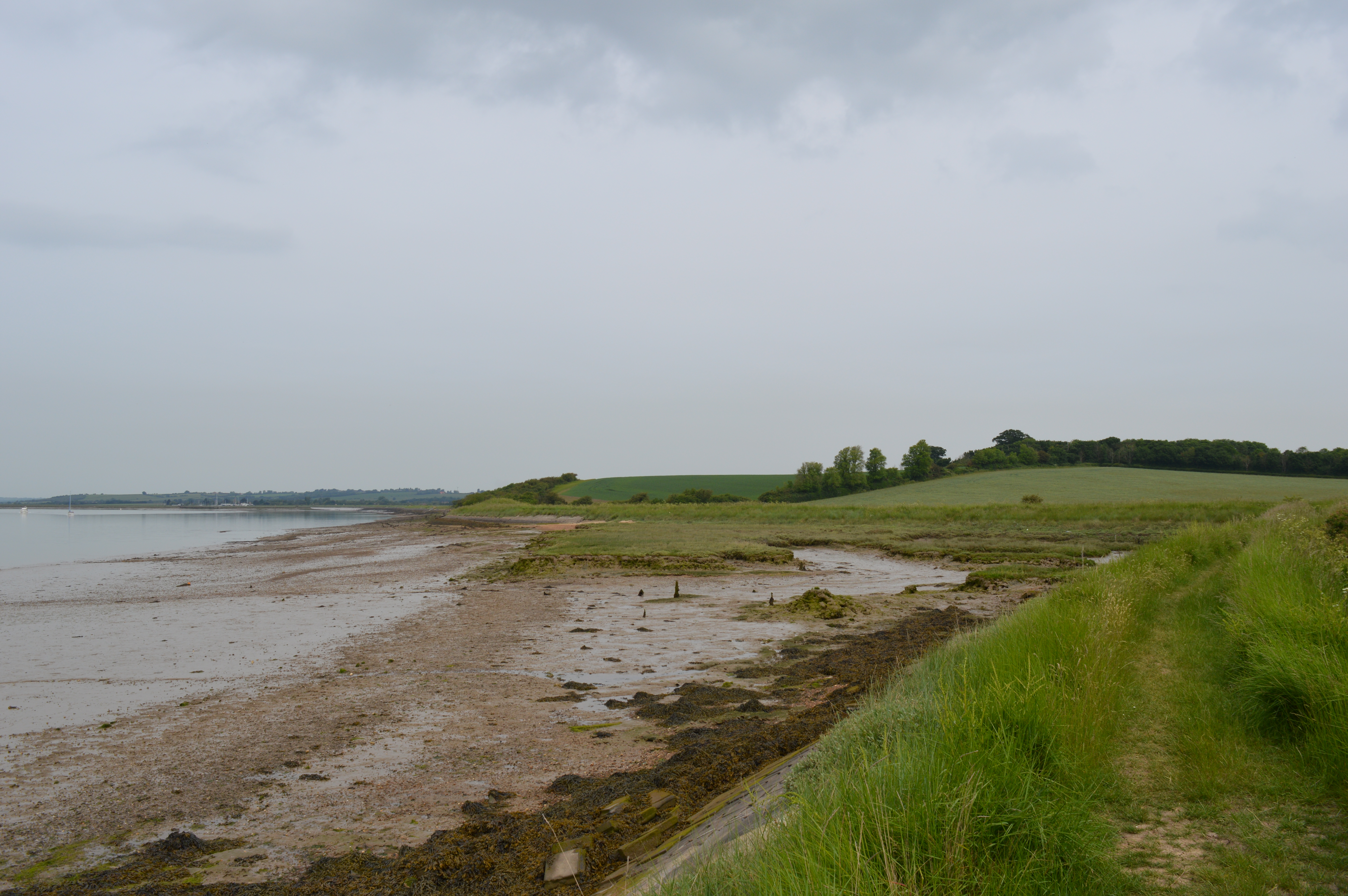
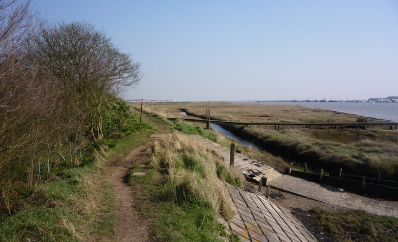
Black Point is a stunning coastal marsh and saltings located in Essex, England. Situated along the Blackwater Estuary, it spans an area of approximately 1.5 square kilometers and is renowned for its outstanding natural beauty. The site is predominantly characterized by its vast expanses of saltmarsh, intertidal mudflats, and coastal sand dunes.
The marshland at Black Point is teeming with a rich variety of plant and animal species, making it a haven for wildlife enthusiasts and nature lovers. The saltmarshes are covered in an array of vibrant vegetation, including samphire, sea lavender, and glasswort, which provide important habitats and food sources for numerous bird species.
Speaking of birds, Black Point is also an internationally significant site for avian populations. It serves as a crucial stopover point during the migration of many species, including waders, ducks, and geese. Visitors can catch sight of elegant avocets, redshanks, curlews, and oystercatchers, among others, as they forage for food along the mudflats and marshes.
The coastal dunes at Black Point are another noteworthy feature, offering breathtaking views of the estuary and the surrounding landscape. The sand dunes are home to a variety of specialist plant species that are well-adapted to the harsh coastal conditions.
To preserve and protect this unique habitat, Black Point is designated as a Site of Special Scientific Interest (SSSI) and is managed by local conservation organizations. Access to the area is limited, ensuring the undisturbed habitat for its resident and visiting wildlife. Visitors can explore the site via guided walks or birdwatching hides, allowing them to experience the wonders of Black Point while minimizing any negative impact on the delicate ecosystem.
If you have any feedback on the listing, please let us know in the comments section below.
Black Point Images
Images are sourced within 2km of 51.636601/0.76086302 or Grid Reference TQ9196. Thanks to Geograph Open Source API. All images are credited.


Black Point is located at Grid Ref: TQ9196 (Lat: 51.636601, Lng: 0.76086302)
Administrative County: Essex
District: Rochford
Police Authority: Essex
What 3 Words
///sparkles.coasted.briefer. Near Althorne, Essex
Nearby Locations
Related Wikis
The Cliff, Burnham-on-Crouch
The Cliff, Burnham-on-Crouch is a 4 hectare geological Site of Special Scientific Interest (SSSI) on the bank of the River Crouch between Burnham-on-Crouch...
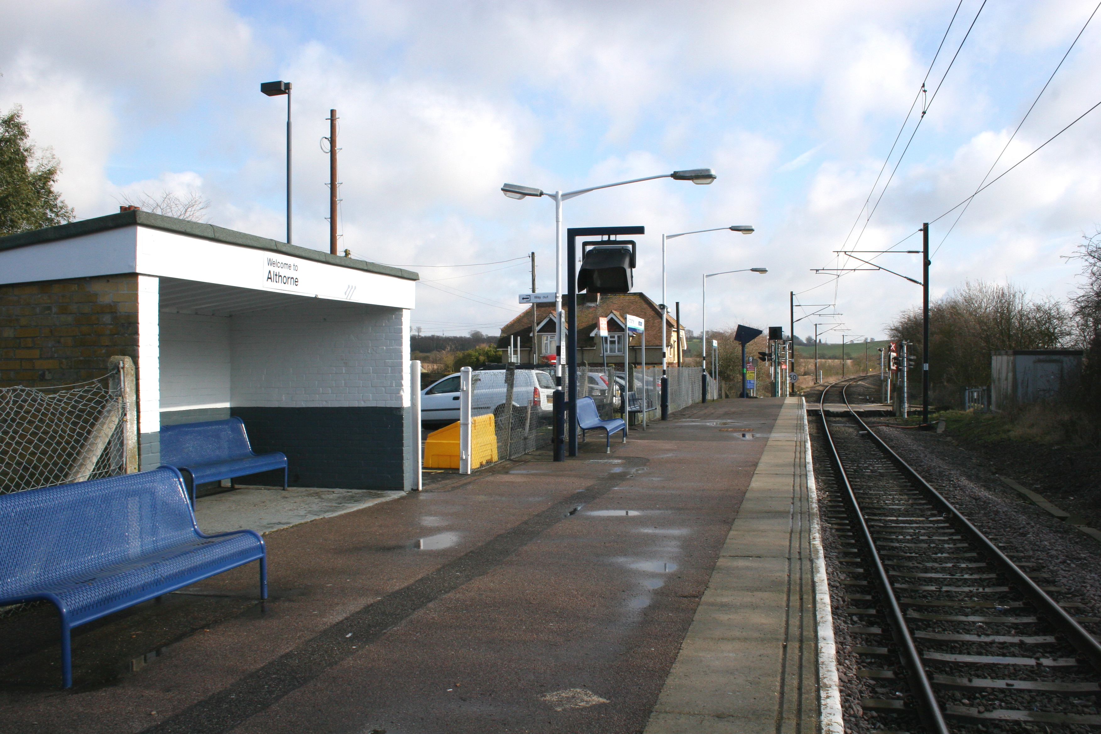
Althorne railway station
Althorne railway station is on the Crouch Valley Line in the East of England, serving the village of Althorne, Essex. It is 40 miles 27 chains (64.92 km...
Creeksea
Creeksea is a village and former civil parish, now in the parish of Burnham-on-Crouch, in the Maldon district, in the county of Essex, England. It is on...
Bridgemarsh Island
Bridgemarsh Island is in the tidal part of the River Crouch in the English county of Essex, three miles upstream from Burnham-on-Crouch. The main river...
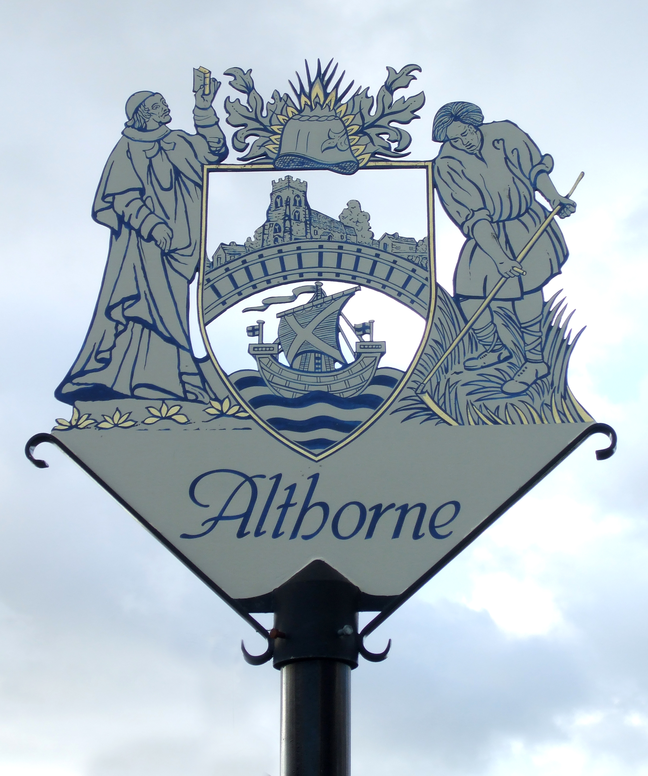
Althorne
Althorne is a village and civil parish in Essex, England. It is located 21 km (13 mi) east-southeast from the county town and city of Chelmsford. The village...

Lion Creek and Lower Raypits
Lion Creek and Lower Raypits is a 65.2-hectare (161-acre) nature reserve east of Canewdon in Essex. It is part of the Crouch and Roach Estuaries Site of...
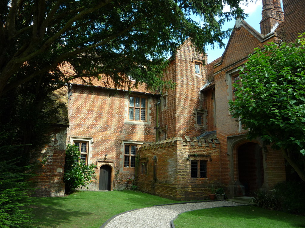
Creeksea Place
Creeksea Place is located near to the town of Burnham-on-Crouch in the Essex countryside of eastern England. Originally built in 1569, the estate retains...

Ostend, Essex
Ostend is a hamlet in the English county of Essex. It is located about a mile north-west of the town of Burnham-on-Crouch where the population is included...
Nearby Amenities
Located within 500m of 51.636601,0.76086302Have you been to Black Point?
Leave your review of Black Point below (or comments, questions and feedback).