Bedlams Bottom
Coastal Marsh, Saltings in Kent Swale
England
Bedlams Bottom

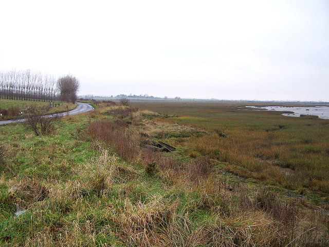
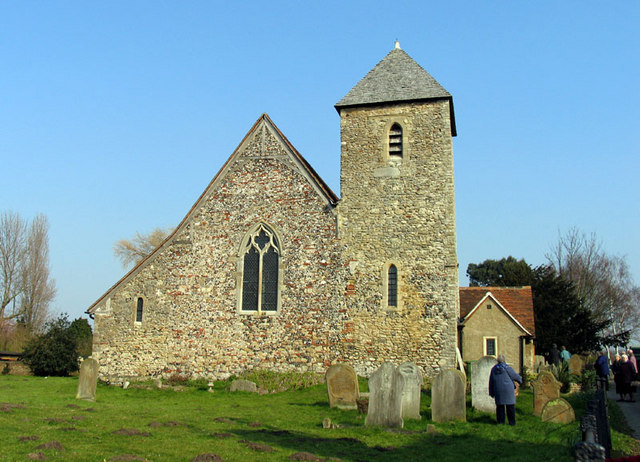
Bedlams Bottom is a picturesque coastal marsh and salt marsh located in Kent, England. Situated near the town of Sandwich, it covers an area of approximately 50 hectares and is renowned for its stunning natural beauty and diverse wildlife.
The marshland is characterized by its flat and open landscape, with a mix of mudflats, salt marshes, and reed beds. It is intersected by several small tidal creeks that contribute to the overall charm of the area. The marshes are regularly flooded by the tides, creating a dynamic ecosystem that supports a wide range of plant and animal species.
The vegetation found in Bedlams Bottom includes various salt-tolerant plants such as samphire, sea lavender, and sea aster. These plants provide food and shelter for numerous bird species, including waders like redshanks, avocets, and curlews. The area is also a haven for migrating birds, with many species stopping here during their journeys.
In addition to its avian inhabitants, Bedlams Bottom is home to a variety of mammals, reptiles, and insects. Visitors may spot marsh harriers soaring above, while Eurasian otters can occasionally be seen swimming in the creeks. The marshes also support a diverse range of invertebrates, including butterflies, dragonflies, and various species of beetles.
Bedlams Bottom offers fantastic opportunities for nature enthusiasts, birdwatchers, and photographers to appreciate the beauty of a coastal marshland. With its tranquil setting, abundant wildlife, and stunning vistas, it truly is a hidden gem along the Kent coastline.
If you have any feedback on the listing, please let us know in the comments section below.
Bedlams Bottom Images
Images are sourced within 2km of 51.387094/0.70695868 or Grid Reference TQ8868. Thanks to Geograph Open Source API. All images are credited.


Bedlams Bottom is located at Grid Ref: TQ8868 (Lat: 51.387094, Lng: 0.70695868)
Administrative County: Kent
District: Swale
Police Authority: Kent
What 3 Words
///blogging.merit.gracing. Near Iwade, Kent
Nearby Locations
Related Wikis
Funton
Funton is a location in Kent, United Kingdom. It is a creek situated on the edge of the North Kent Marshes on the right bank of the River Medway about...

Chetney Hill
Chetney Hill was a planned lazaret on the banks of the River Medway estuary in Kent. Inspired by European ports such as Marseille and Venice, it was intended...
Iwade
Iwade is a village and civil parish 2 miles (3.2 km) north of the town of Sittingbourne in the English county of Kent. == History == Iwade was established...
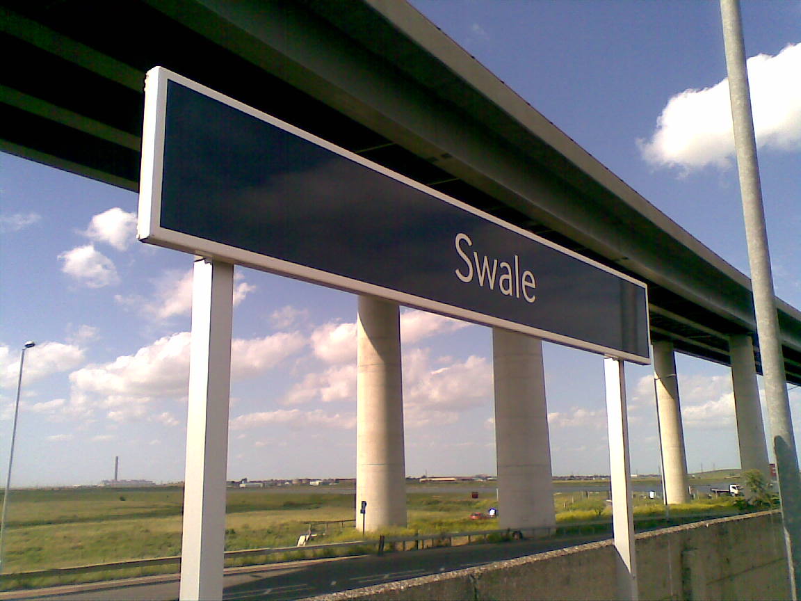
Swale railway station
Swale railway station is in north Kent, England, on the Sheerness Line 47 miles 15 chains (75.9 km) from London Victoria, at the southern end of the Kingsferry...
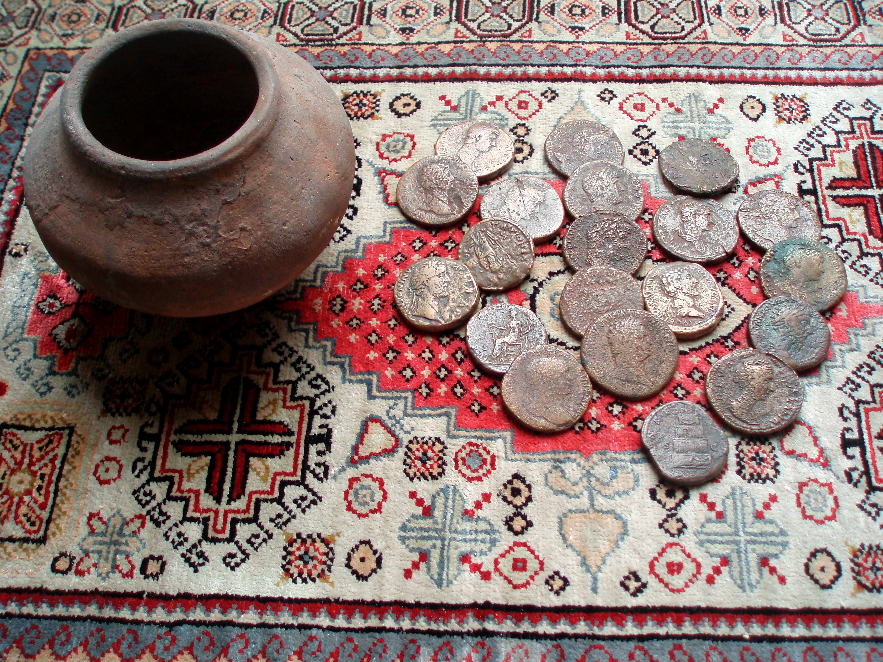
Upchurch Hoard
The Upchurch Hoard was a pot containing thirty-seven Roman sestertii dating from the late 1st century to the second half of the 2nd century AD found near...

Ridham Dock
Ridham Dock is a dock on The Swale in the English county of Kent. It is located in the parish of Iwade around 4 miles (6.4 km) north of Sittingbourne....
Lower Halstow
Lower Halstow is a village and civil parish in the Swale district of Kent, England. The village is northwest of Sittingbourne on the banks of the Medway...
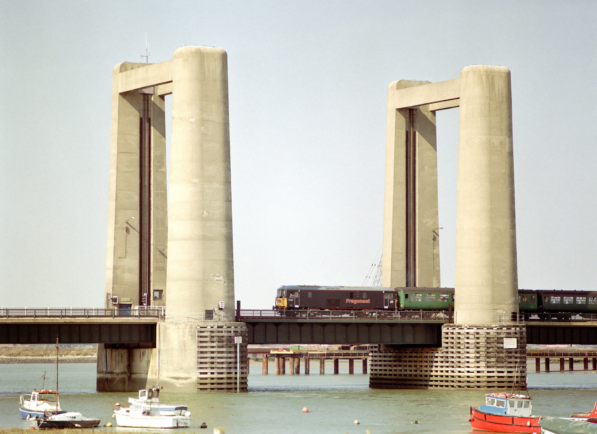
Kingsferry Bridge
The Kingsferry Bridge is a combined road and railway vertical-lift bridge which connects the Isle of Sheppey to mainland Kent in South East England. The...
Nearby Amenities
Located within 500m of 51.387094,0.70695868Have you been to Bedlams Bottom?
Leave your review of Bedlams Bottom below (or comments, questions and feedback).