Landsend Point
Coastal Marsh, Saltings in Essex Rochford
England
Landsend Point

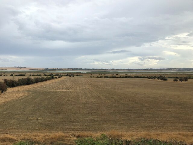
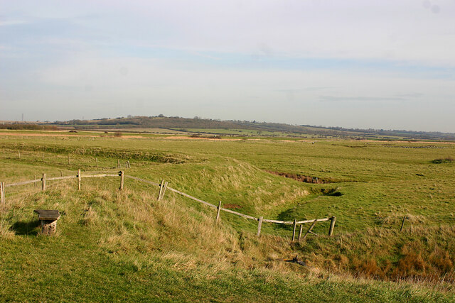
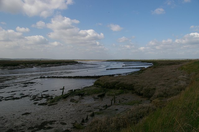
Landsend Point is a beautiful coastal marsh and saltings located in Essex, England. It is situated along the picturesque coastline, offering stunning views of the surrounding natural landscape. The area is renowned for its diverse wildlife and rich biodiversity, making it a popular destination for nature enthusiasts and birdwatchers.
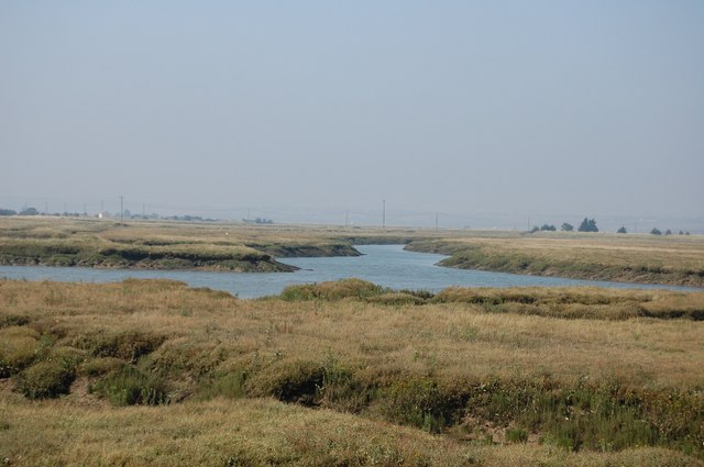
The marshland is characterized by its vast expanse of salt marshes, mudflats, and tidal creeks. These unique habitats provide a home to a wide variety of plant and animal species, many of which are rare and protected. Visitors to Landsend Point can witness the intricate network of creeks and channels that crisscross the marsh, creating a dynamic and ever-changing landscape.
The saltings, or salt marshes, are an essential part of the ecosystem at Landsend Point. These areas are flooded by the tide daily, creating a brackish environment that supports a range of salt-tolerant vegetation. Saltmarsh grasses, samphire, and sea lavender are just a few examples of the plants that thrive in this unique habitat.
Birdlife is abundant at Landsend Point, attracting birdwatchers from far and wide. Species such as dunlins, redshanks, avocets, and oystercatchers can be spotted flocking to the marshes, particularly during the migratory seasons. The area is also an important breeding ground for various wading birds, adding to its significance as a wildlife haven.
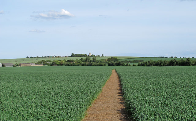
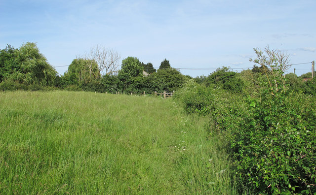
Landsend Point offers not only natural beauty but also recreational opportunities for visitors. Walking trails and observation points provide access to the marshland, allowing individuals to immerse themselves in the serene surroundings while appreciating the diverse flora and fauna.
Overall, Landsend Point in Essex is a remarkable coastal marsh and saltings, offering a unique combination of stunning landscapes, rare wildlife, and recreational opportunities for nature lovers to experience and enjoy.
If you have any feedback on the listing, please let us know in the comments section below.
Landsend Point Images
Images are sourced within 2km of 51.635669/0.72064187 or Grid Reference TQ8896. Thanks to Geograph Open Source API. All images are credited.


Landsend Point is located at Grid Ref: TQ8896 (Lat: 51.635669, Lng: 0.72064187)
Administrative County: Essex
District: Rochford
Police Authority: Essex
What 3 Words
///stumble.highs.grinders. Near Canewdon, Essex
Nearby Locations
Related Wikis
Bridgemarsh Island
Bridgemarsh Island is in the tidal part of the River Crouch in the English county of Essex, three miles upstream from Burnham-on-Crouch. The main river...
Crouch and Roach Estuaries
The Crouch and Roach Estuaries are a 1729 hectare biological Site of Special Scientific Interest (SSSI) at the mouth of the Crouch and Roach rivers in...
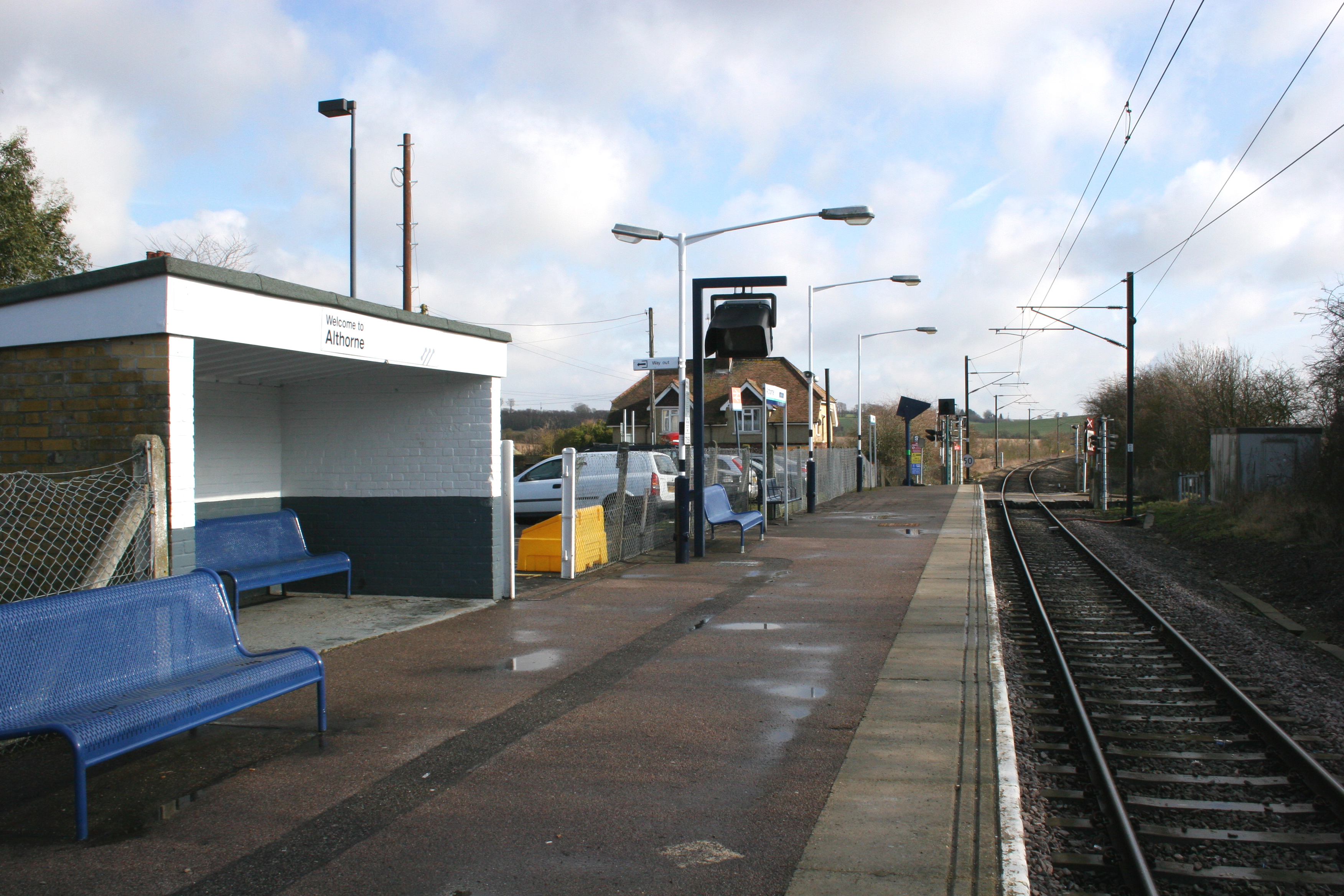
Althorne railway station
Althorne railway station is on the Crouch Valley Line in the East of England, serving the village of Althorne, Essex. It is 40 miles 27 chains (64.92 km...
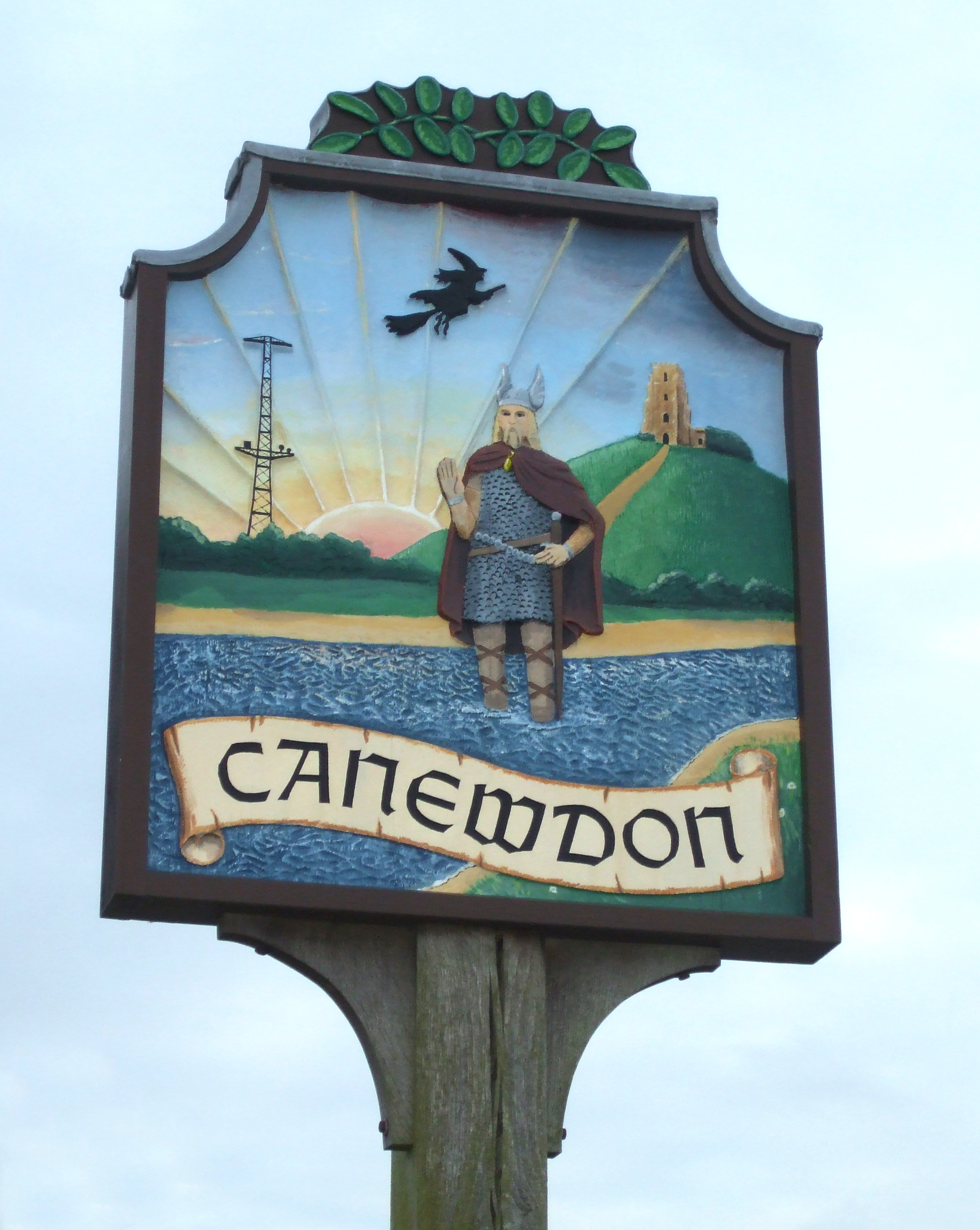
Canewdon
Canewdon is a village and civil parish in the Rochford district of Essex, England. The village is located approximately 4 miles (6.4 km) northeast of the...
Nearby Amenities
Located within 500m of 51.635669,0.72064187Have you been to Landsend Point?
Leave your review of Landsend Point below (or comments, questions and feedback).