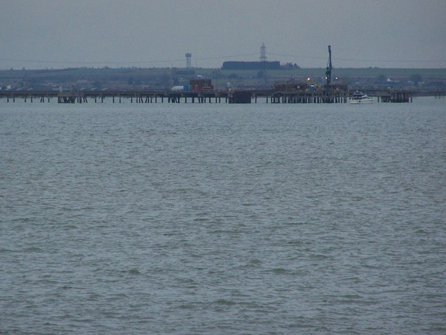
Medway Saltings
Coastal Marsh, Saltings in Kent Swale
England
Medway Saltings
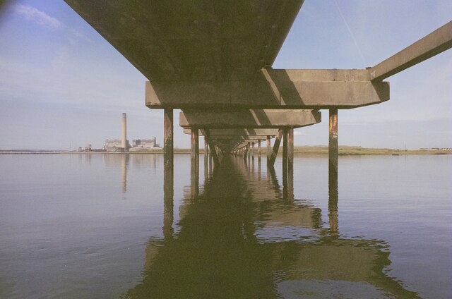
Medway Saltings is a coastal marshland area located in Kent, England. It is situated along the banks of the River Medway, near the town of Rochester. The Saltings is characterized by its diverse ecosystem and unique landscape.
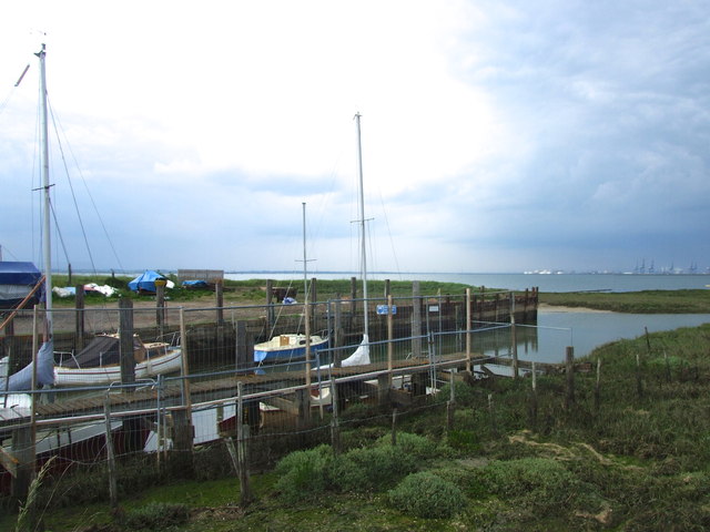
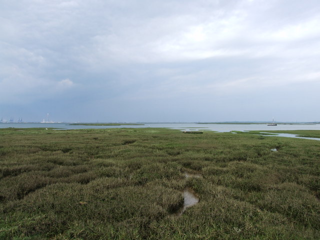
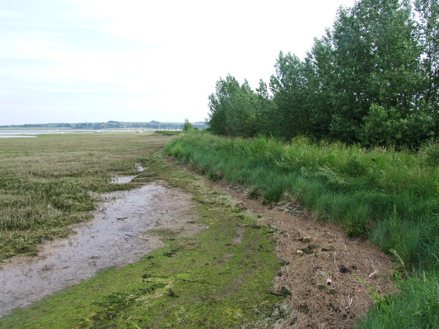
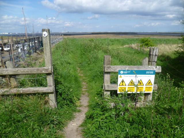
Covering an area of approximately 240 hectares, Medway Saltings is an important habitat for various species of birds, plants, and invertebrates. The marshland is largely composed of tidal mudflats, saltmarshes, and reedbeds, which provide a rich feeding ground for wading birds such as curlews, redshanks, and dunlins. The area is also home to several species of ducks and geese, which can be seen during different seasons.
The Saltings is managed as a nature reserve by the Royal Society for the Protection of Birds (RSPB). The organization has implemented measures to preserve the natural habitat and promote biodiversity. These include maintaining water levels, controlling invasive species, and providing nesting sites for birds.
Visitors to Medway Saltings can enjoy various recreational activities, such as birdwatching, nature walks, and photography. The reserve has a network of footpaths and viewing points that allow visitors to explore the area and observe the wildlife. The RSPB also organizes guided tours and events to educate visitors about the importance of conservation and the unique ecosystems found in the Saltings.
Overall, Medway Saltings is a valuable coastal marshland, providing a haven for wildlife and offering visitors the opportunity to experience and appreciate the beauty of nature in a tranquil and unspoiled environment.
If you have any feedback on the listing, please let us know in the comments section below.
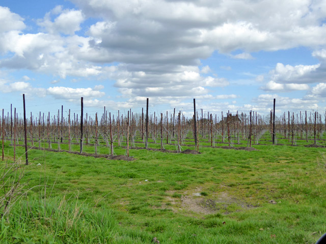
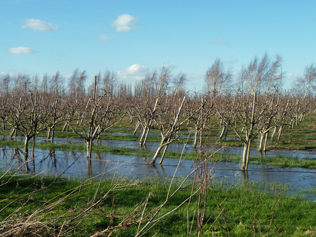
Medway Saltings Images
Images are sourced within 2km of 51.404588/0.65543445 or Grid Reference TQ8470. Thanks to Geograph Open Source API. All images are credited.


Medway Saltings is located at Grid Ref: TQ8470 (Lat: 51.404588, Lng: 0.65543445)
Administrative County: Kent
District: Swale
Police Authority: Kent
What 3 Words
///jubilant.drifters.ulterior. Near Upchurch, Kent
Nearby Locations
Related Wikis

Medway Estuary and Marshes
Medway Estuary and Marshes is a 4,748.8-hectare (11,735-acre) biological Site of Special Scientific Interest which stretches along the banks of the River...
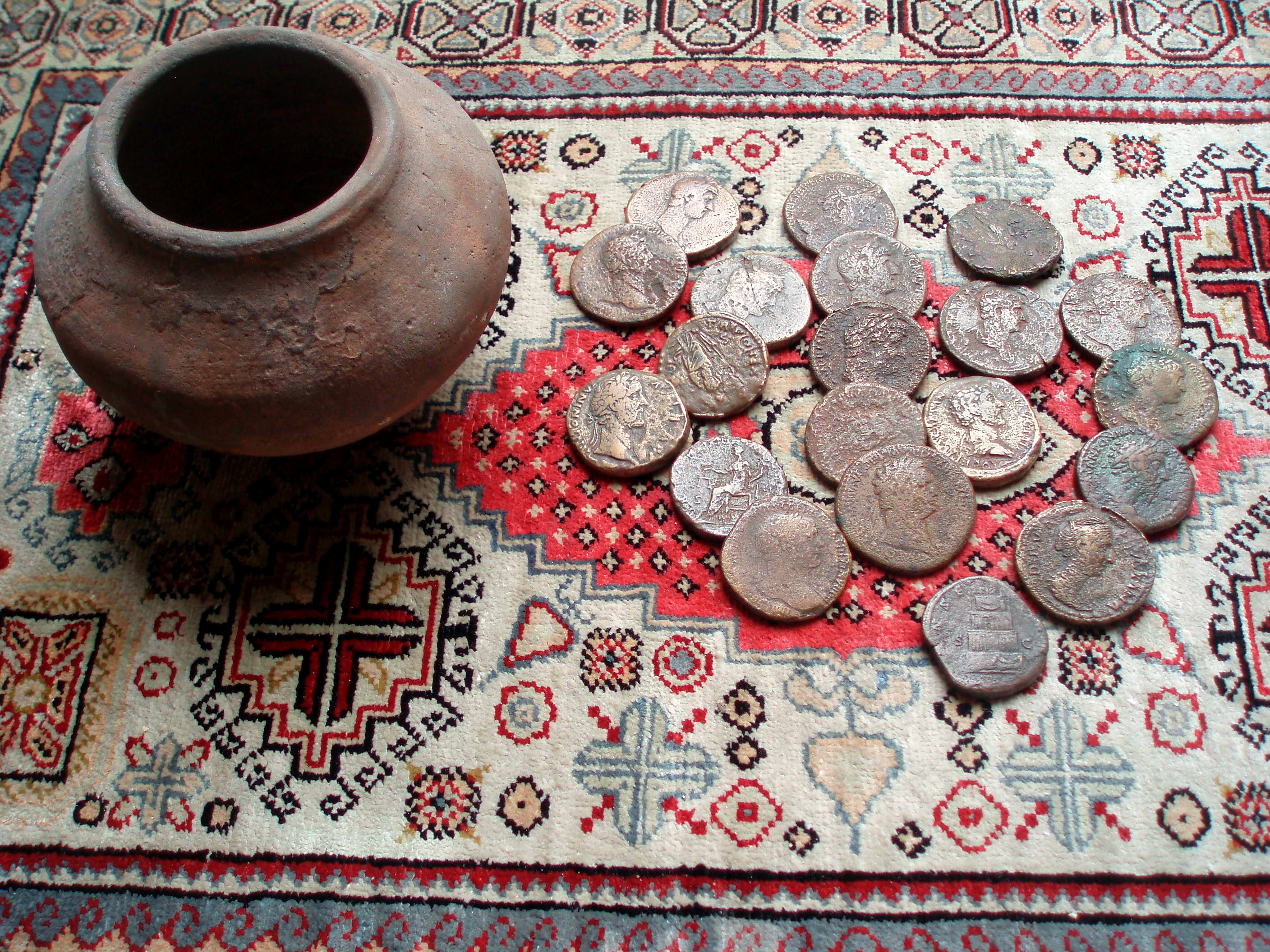
Upchurch Hoard
The Upchurch Hoard was a pot containing thirty-seven Roman sestertii dating from the late 1st century to the second half of the 2nd century AD found near...

HMS Bulwark (1899)
HMS Bulwark was one of five London-class pre-dreadnought battleships built for the Royal Navy at the end of the 19th century. The Londons were a sub-class...

Burntwick Island
Burntwick Island is an island in the estuary of the River Medway in Kent, United Kingdom. It is a flat, raised area of marshland around 2 kilometres (1...

Upchurch
Upchurch is a village and civil parish in the Swale district of Kent, England. It is situated about 2 kilometres (1.2 mi) north of the A2 road, between...

SM UB-144
UB-144 was a German Type UB III submarine or U-boat built for the German Imperial Navy (German: Kaiserliche Marine) during World War I. Incomplete at the...
SM UB-150
SM UB-150 was a German Type UB III submarine or U-boat built for the German Imperial Navy (German: Kaiserliche Marine) during World War I. Incomplete at...
SM UB-145
UB-145 was a German Type UB III submarine or U-boat built for the German Imperial Navy (German: Kaiserliche Marine) during World War I. Incomplete at the...
Related Videos

Into the Estuary - 4 Day Kayak Adventure
On this adventure i visit Burntwick Island, Darnet Fort, the WWI U-boat wrecks, Bee Ness jetty, and Yantlet beach.

Darnet fort
Located in the middle of the Medway Estuary will over looking Hoo fort.

Estuary Mud! - Tiktok Short #Shorts
Please watch: "Mudlarking The River Thames Foreshore - Essex Bottle Beach - Victorian Relics in the Mud!
Nearby Amenities
Located within 500m of 51.404588,0.65543445Have you been to Medway Saltings?
Leave your review of Medway Saltings below (or comments, questions and feedback).