Bayford Marsh
Coastal Marsh, Saltings in Kent Swale
England
Bayford Marsh
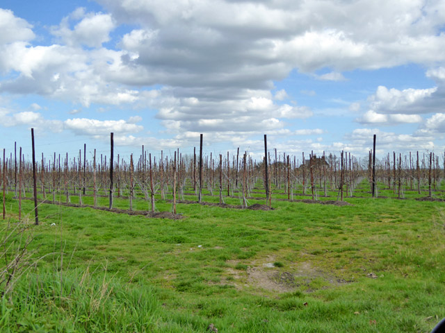
Bayford Marsh is a coastal marsh and saltings located in the county of Kent, England. Situated along the east coast of the Isle of Sheppey, this vast expanse of wetland covers an area of approximately 1,600 acres. The marsh is part of the wider Thames Estuary and is characterized by its diverse and unique ecosystem.
The marshland is primarily made up of salt marshes, which are areas of low-lying land that are periodically flooded by saltwater. This creates a brackish environment, where a mix of saltwater and freshwater mix together. As a result, Bayford Marsh is home to a wide range of plant and animal species that have adapted to thrive in these conditions.
The vegetation in Bayford Marsh is dominated by salt-tolerant plants, such as glasswort and sea purslane, which provide an important food source for various bird species. The marshes also support a variety of wading birds, including avocets, redshanks, and dunlins, which can be seen foraging for food along the mudflats.
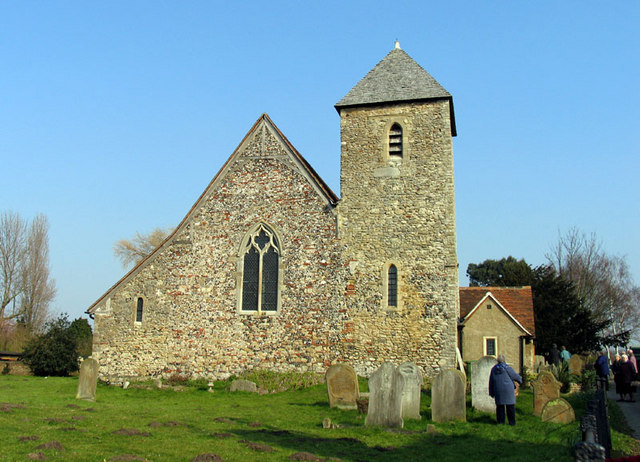
In addition to its ecological significance, Bayford Marsh is also of archaeological interest. The area has been inhabited for thousands of years, and evidence of prehistoric settlements and Roman occupation has been discovered here. The marshland is also home to several historic buildings, including the Grade II-listed Bayford Court, a 17th-century manor house.
Bayford Marsh is a popular destination for nature enthusiasts, birdwatchers, and walkers, who can explore the marshes along the designated footpaths and observe the diverse wildlife that calls this unique coastal habitat home.
If you have any feedback on the listing, please let us know in the comments section below.
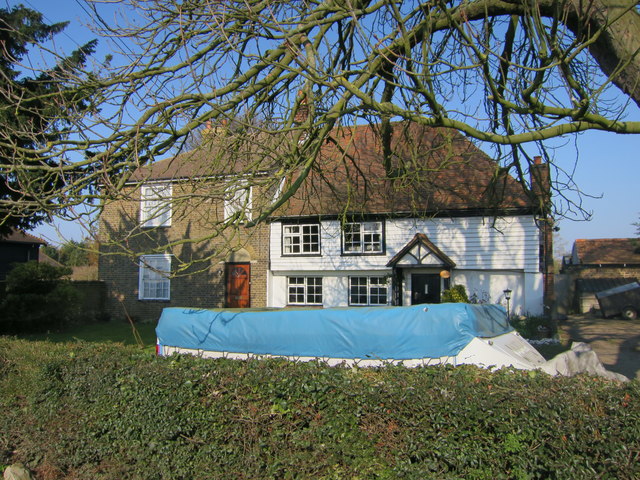
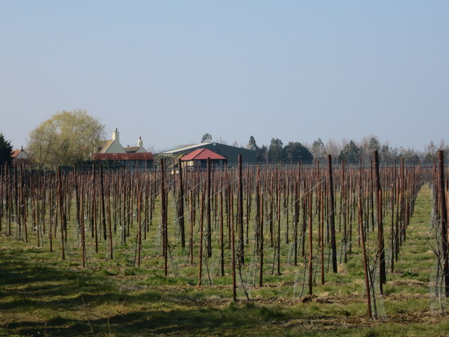
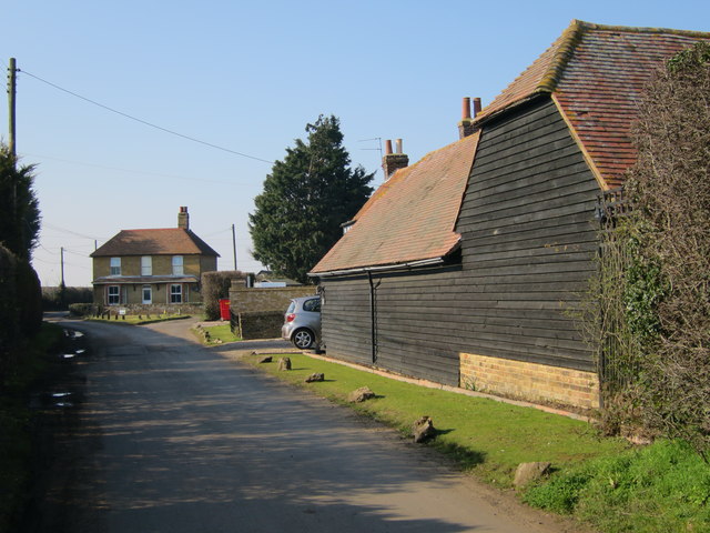
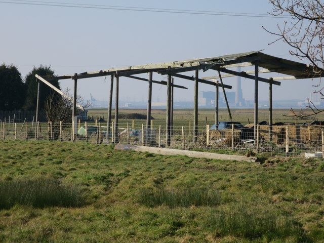
Bayford Marsh Images
Images are sourced within 2km of 51.395014/0.65009239 or Grid Reference TQ8469. Thanks to Geograph Open Source API. All images are credited.


Bayford Marsh is located at Grid Ref: TQ8469 (Lat: 51.395014, Lng: 0.65009239)
Administrative County: Kent
District: Swale
Police Authority: Kent
What 3 Words
///deal.assembles.eternally. Near Upchurch, Kent
Nearby Locations
Related Wikis

Medway Estuary and Marshes
Medway Estuary and Marshes is a 4,748.8-hectare (11,735-acre) biological Site of Special Scientific Interest which stretches along the banks of the River...

Upchurch Hoard
The Upchurch Hoard was a pot containing thirty-seven Roman sestertii dating from the late 1st century to the second half of the 2nd century AD found near...

Upchurch
Upchurch is a village and civil parish in the Swale district of Kent, England. It is situated about 2 kilometres (1.2 mi) north of the A2 road, between...
Lower Halstow
Lower Halstow is a village and civil parish in the Swale district of Kent, England. The village is northwest of Sittingbourne on the banks of the Medway...

HMS Bulwark (1899)
HMS Bulwark was one of five London-class pre-dreadnought battleships built for the Royal Navy at the end of the 19th century. The Londons were a sub-class...

Burntwick Island
Burntwick Island is an island in the estuary of the River Medway in Kent, United Kingdom. It is a flat, raised area of marshland around 2 kilometres (1...

Berengrave Chalk Pit
Berengrave Chalk Pit is a 12.77-hectare (31.6-acre) Local Nature Reserve in Rainham in Kent. It is owned and managed by Medway Council.There is a small...
Chetney Hill
Chetney Hill was a planned lazaret on the banks of the River Medway estuary in Kent. Inspired by European ports such as Marseille and Venice, it was intended...
Related Videos

Into the Estuary - 4 Day Kayak Adventure
On this adventure i visit Burntwick Island, Darnet Fort, the WWI U-boat wrecks, Bee Ness jetty, and Yantlet beach.

Darnet fort
Located in the middle of the Medway Estuary will over looking Hoo fort.

CHEERS FOR THE BAIT GUYS || HORSHAM FISHING LAKE, KENT
Jamie travelled alone on this one to a family friendly lake in Kent, called Horsham Fishing Lake. Thanks to a couple of guys called ...
Have you been to Bayford Marsh?
Leave your review of Bayford Marsh below (or comments, questions and feedback).