Great Aster Marsh
Coastal Marsh, Saltings in Norfolk King's Lynn and West Norfolk
England
Great Aster Marsh

Great Aster Marsh is a coastal marsh located in Norfolk, England. It is known for its stunning natural beauty and diverse ecosystem. The marsh is situated on the Norfolk Broads, a network of rivers and lakes that form one of the UK's most important wetland areas.
Covering an area of approximately 200 hectares, Great Aster Marsh is primarily made up of salt marshes and saltings. These are low-lying areas of land that are regularly flooded by the tides. As a result, the marsh is a dynamic and ever-changing landscape, with the water levels constantly fluctuating.
The marsh is home to a wide variety of plant and animal species. It provides an important habitat for many bird species, including wading birds, ducks, and geese. It is also a breeding ground for various species of fish and invertebrates, which thrive in the nutrient-rich waters.
Visitors to Great Aster Marsh can enjoy a range of activities, including birdwatching, walking, and photography. There are several walking trails that offer stunning views of the marsh and its surrounding landscape. The area is also popular for boating and sailing, with several boat hire companies operating in the vicinity.
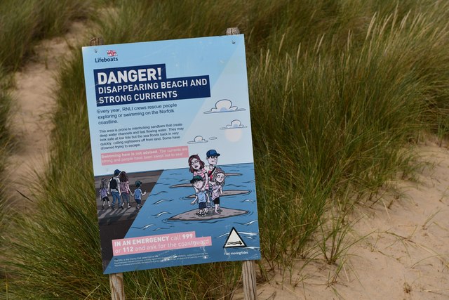
Great Aster Marsh is not only a haven for wildlife but also plays a vital role in coastal protection. The marsh acts as a natural buffer, absorbing the energy of waves and reducing the risk of coastal erosion.
Overall, Great Aster Marsh is a unique and important coastal marsh, offering visitors the chance to experience the beauty and diversity of this fragile ecosystem.
If you have any feedback on the listing, please let us know in the comments section below.
Great Aster Marsh Images
Images are sourced within 2km of 52.979366/0.74000731 or Grid Reference TF8445. Thanks to Geograph Open Source API. All images are credited.


Great Aster Marsh is located at Grid Ref: TF8445 (Lat: 52.979366, Lng: 0.74000731)
Administrative County: Norfolk
District: King's Lynn and West Norfolk
Police Authority: Norfolk
What 3 Words
///removals.regarding.pilots. Near Wells-next-the-Sea, Norfolk
Nearby Locations
Related Wikis
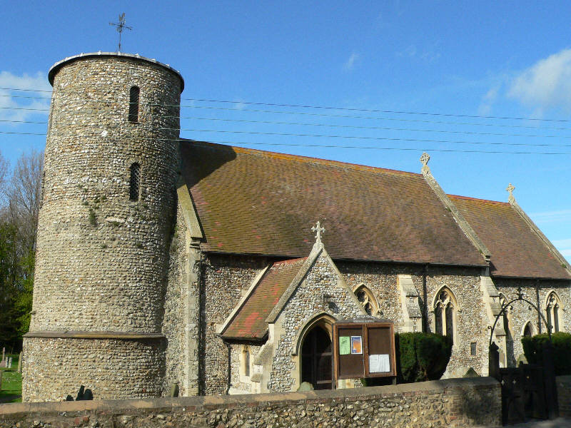
Burnham Deepdale
Burnham Deepdale is a village and former civil parish, now in the parish of Brancaster, in the King's Lynn and West Norfolk district, on the north coast...
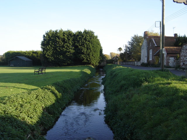
River Burn, Norfolk
The River Burn (also known as "Nelsons River") is a river in the northwest of the County of Norfolk, in the East of England. From its source to its mouth...
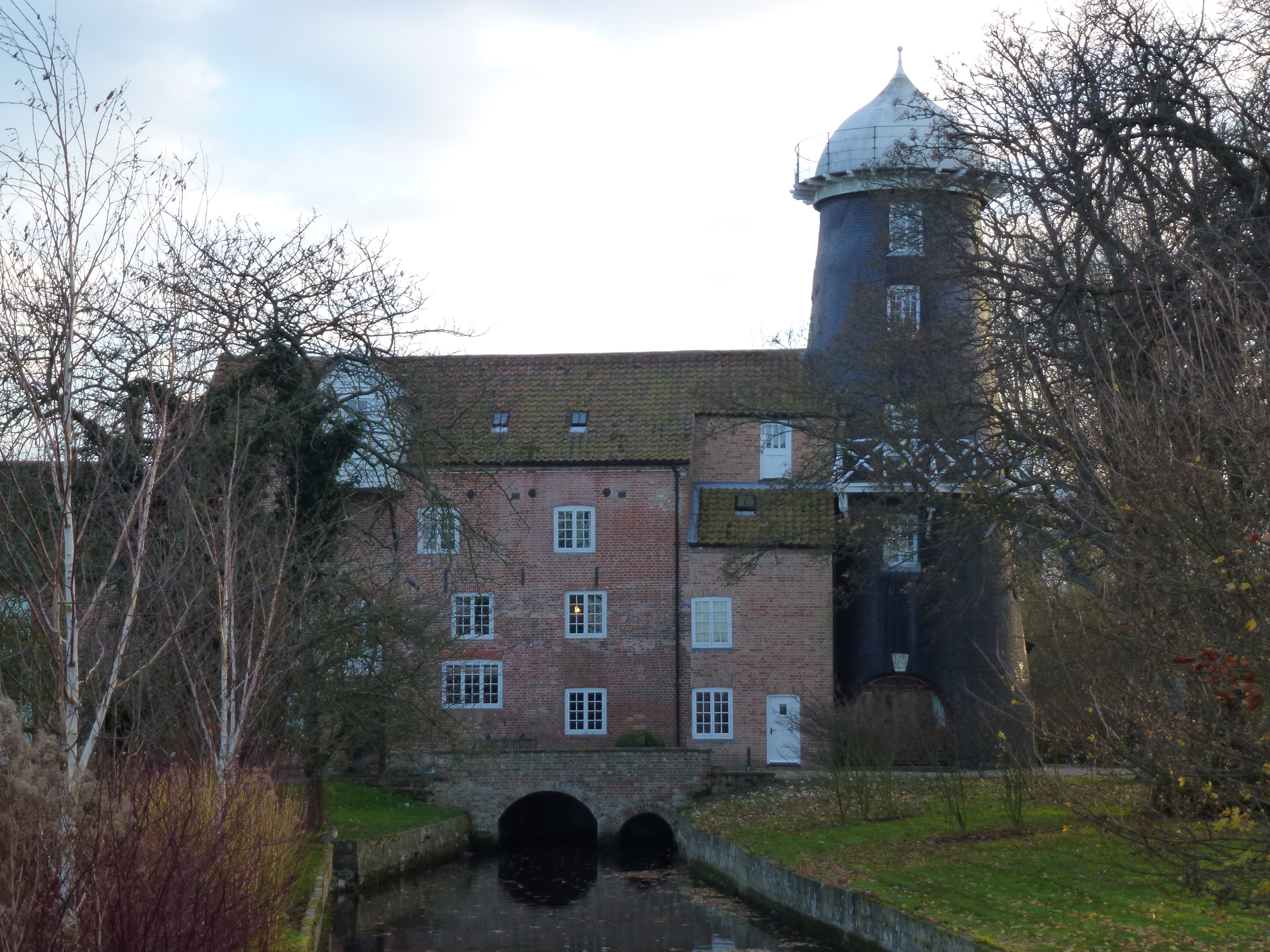
Union Mills, Burnham Overy
Union Mills or Roy's Mills are a Grade II listed combined tower mill and watermill at Burnham Overy, Norfolk, England which has been converted to residential...

Burnham Overy Staithe Windmill
Burnham Overy Staithe Windmill is a Grade II* listed building tower mill at Burnham Overy Staithe, Norfolk, England which has been converted to holiday...
Nearby Amenities
Located within 500m of 52.979366,0.74000731Have you been to Great Aster Marsh?
Leave your review of Great Aster Marsh below (or comments, questions and feedback).