Benfleet Marsh

Coastal Marsh, Saltings in Essex Castle Point

England

Benfleet Marsh

Anti-predator fence, RSPB West Canvey Marsh New southern perimeter fence enclosing an area of wet grazing, a much favoured nesting area for breeding birds. Protection against terrestrial predators is provided by a ca.2m mesh fence topped with a quadruple strand electrified section.
Anti-predator fence, RSPB West Canvey Marsh Credit: John Myers

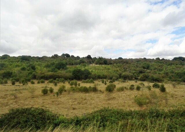
Benfleet Marsh is a coastal marsh located in Essex, England. It is situated along the northern bank of the River Thames estuary and covers an area of approximately 12 square kilometers. The marsh is characterized by its unique and diverse ecosystem, which includes various habitats such as mudflats, saltmarsh, and reedbeds.

The marshland is known for its rich biodiversity and is home to a wide range of plant and animal species. The saltmarsh vegetation consists of plants adapted to the saline conditions, including samphire, sea lavender, and sea purslane. These plants provide an important food source for various bird species, such as curlews, redshanks, and oystercatchers, which can be observed feeding along the mudflats.

The area is also a haven for birdwatchers, as it serves as an important stopover point for migratory birds. During the winter months, large numbers of wading birds, including dunlins, godwits, and avocets, can be spotted on the marshland.

Apart from its ecological significance, Benfleet Marsh also holds historical importance. It is believed to have been inhabited since prehistoric times, with archaeological evidence suggesting human activity in the area dating back to the Neolithic period. The marshland was also used for salt production during the medieval period.

Today, Benfleet Marsh is managed as a nature reserve by various conservation organizations. It offers opportunities for walking and wildlife observation, with several footpaths and observation points available for visitors. The marsh provides a tranquil and picturesque setting, allowing visitors to immerse themselves in the natural beauty of this unique coastal habitat.

If you have any feedback on the listing, please let us know in the comments section below.

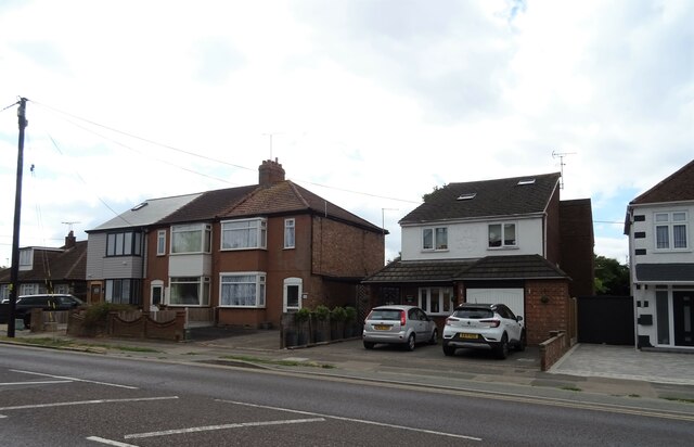
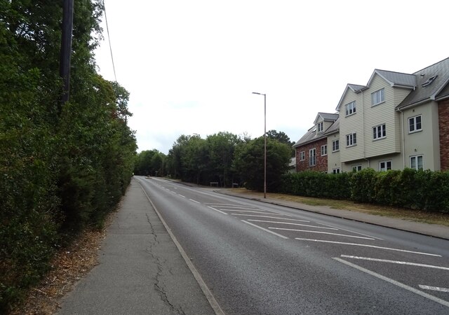
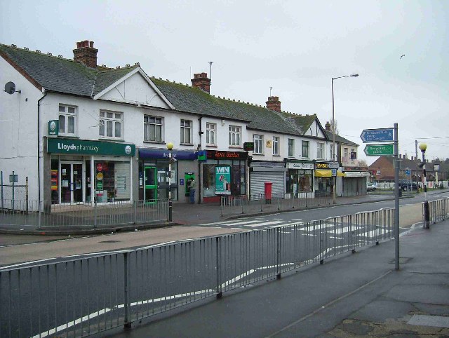
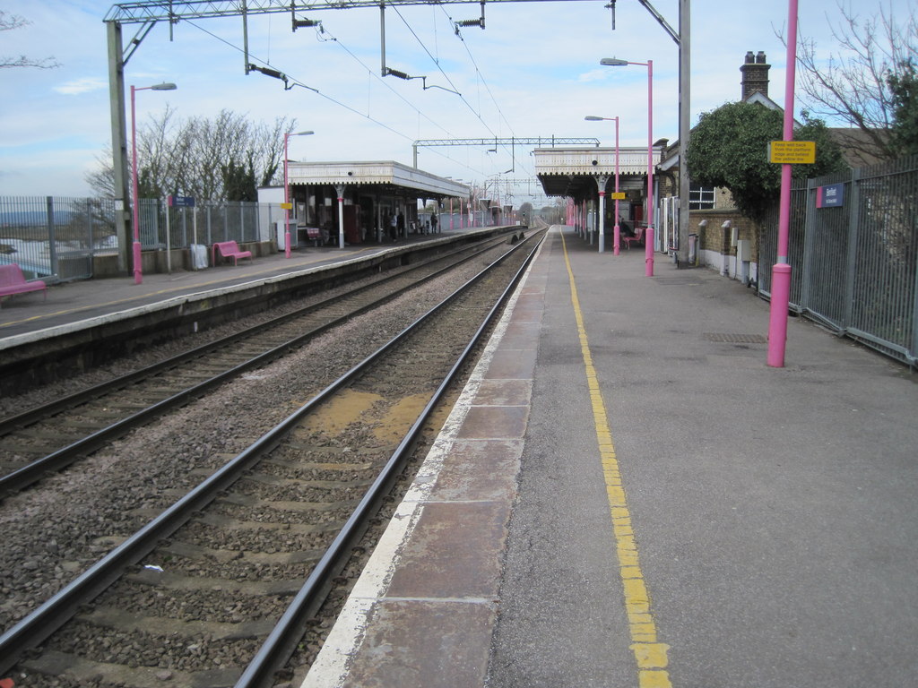
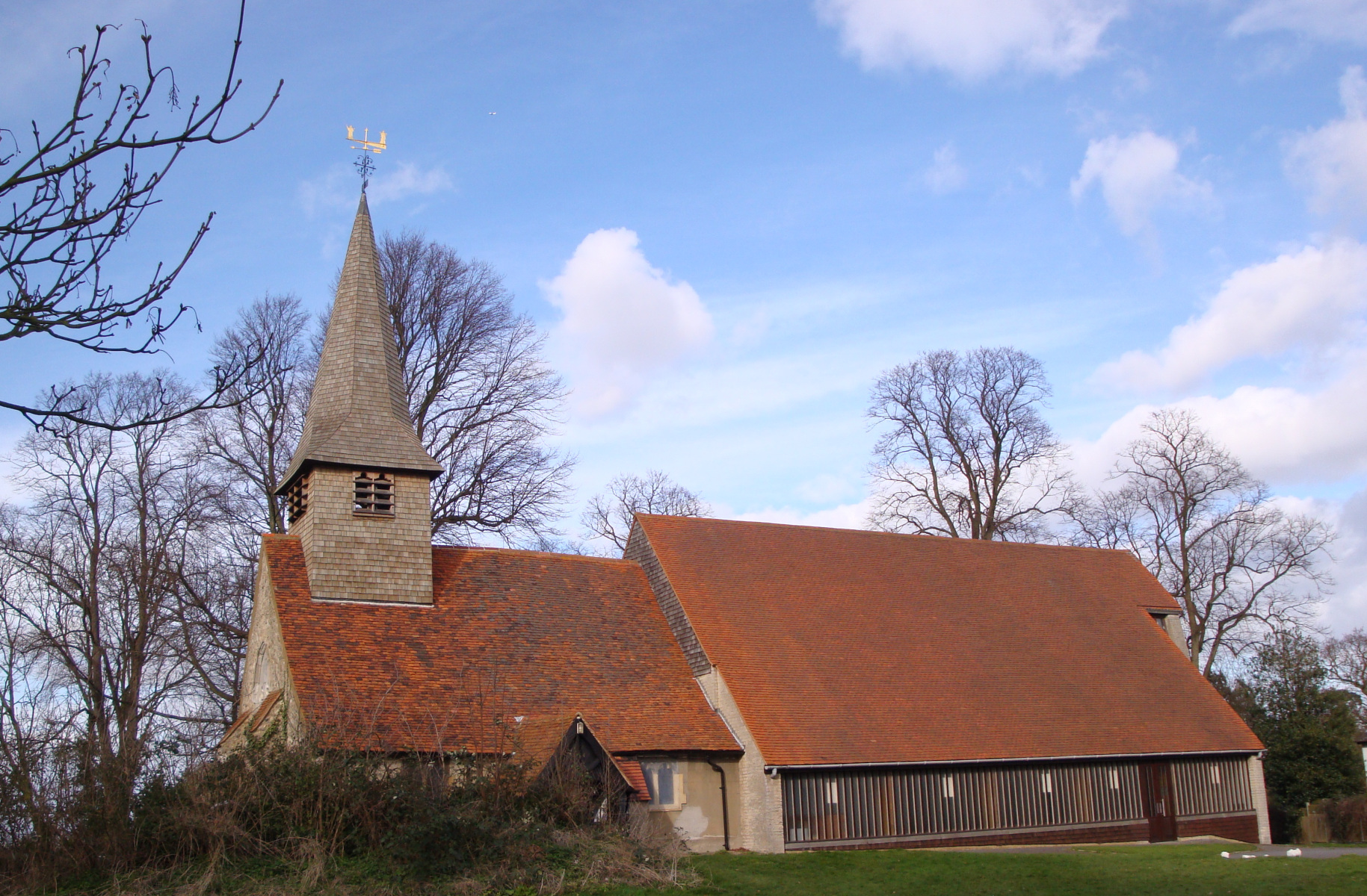
Benfleet Marsh Images

Images are sourced within 2km of 51.549251/0.5558954 or Grid Reference TQ7786. Thanks to Geograph Open Source API. All images are credited.

Anti-predator fence, RSPB West Canvey Marsh New southern perimeter fence enclosing an area of wet grazing, a much favoured nesting area for breeding birds. Protection against terrestrial predators is provided by a ca.2m mesh fence topped with a quadruple strand electrified section.
Anti-predator fence, RSPB West Canvey Marsh
New southern perimeter fence enclosing an area of wet grazing, a much favoured nesting area for breeding birds. Protection against terrestrial predators is provided by a ca.2m mesh fence topped with a quadruple strand electrified section.
Ferry Road, Benfleet
Grazing, Benfleet
Grazing, Benfleet
Grazing, South Benfleet
Church Road towards Bowers Hall
Houses on London Road, South Benfleet
London Road (A13), South Benfleet Towards Southend.
London Road (A13), South Benfleet
Towards Southend.
Indian Restaurant, South Benfleet
Flats on London Road
London Road (A13) Towards Southend.
London Road (A13)
Towards Southend.
Indian Restaurant on London Road (A13)
Grazing, Benfleet Downs
Bowers Gifford, St Margaret
South Benfleet, St Mary the Virgin
South Benfleet : Church of St Mary the Virgin Grade I listed - <span class="nowrap"><a title="https://historicengland.org.uk/listing/the-list/list-entry/1123690?section=official-list-entry" rel="nofollow ugc noopener" href="https://historicengland.org.uk/listing/the-list/list-entry/1123690?section=official-list-entry">Link</a><img style="margin-left:2px;" alt="External link" title="External link - shift click to open in new window" src="https://s1.geograph.org.uk/img/external.png" width="10" height="10"/></span>
South Benfleet : Church of St Mary the Virgin
Grade I listed - LinkExternal link
South Benfleet  : lychgate, Church of St Mary the Virgin
South Benfleet : lychgate, Church of St Mary the Virgin
South Benfleet : "Hoy & Helmet" public house Grade II listed - <span class="nowrap"><a title="https://historicengland.org.uk/listing/the-list/list-entry/1123692?section=official-list-entry" rel="nofollow ugc noopener" href="https://historicengland.org.uk/listing/the-list/list-entry/1123692?section=official-list-entry">Link</a><img style="margin-left:2px;" alt="External link" title="External link - shift click to open in new window" src="https://s1.geograph.org.uk/img/external.png" width="10" height="10"/></span>.
South Benfleet : "Hoy & Helmet" public house
Grade II listed - LinkExternal link.
Benfleet Flood Barrier Full description at this <span class="nowrap"><a title="https://www.benfleethistory.org.uk/content/browse-articles/areas/the_creek_and_crossing/benfleet-flood-barrier" rel="nofollow ugc noopener" href="https://www.benfleethistory.org.uk/content/browse-articles/areas/the_creek_and_crossing/benfleet-flood-barrier">Link</a><img style="margin-left:2px;" alt="External link" title="External link - shift click to open in new window" src="https://s1.geograph.org.uk/img/external.png" width="10" height="10"/></span>
Benfleet Flood Barrier
Full description at this LinkExternal link
Show me another place!

Benfleet Marsh is located at Grid Ref: TQ7786 (Lat: 51.549251, Lng: 0.5558954)

Administrative County: Essex

District: Castle Point

Police Authority: Essex

What 3 Words

///spine.payer.mash. Near South Benfleet, Essex

Related Wikis

Nearby Amenities

Located within 500m of 51.549251,0.5558954
South Benfleet
Is In: Essex, England, UK
Is In Country: UK
Is In County: Essex
Place: village
Wikidata: Q2347600
Lat/Long: 51.5507054/0.5545405
Bus Stop
Boyce Green
Naptan AtcoCode: 150041013007
Naptan Bearing: NW
Naptan CommonName: Boyce Green
Naptan Indicator: Opp
Naptan Landmark: Boyce Green
Naptan NaptanCode: esxdwmgm
Naptan PlusbusZoneRef: BENFLET;STHCENT
Naptan Street: High Road
Naptan Verified: no
Public Transport: platform
Source: naptan_import
Lat/Long: 51.551709/0.5617985
Power: tower
Lat/Long: 51.5467519/0.5551475
Power: tower
Lat/Long: 51.5482597/0.5518269
Power: tower
Lat/Long: 51.5462482/0.5576473
The data included in this document is from www.openstreetmap.org. The data is made available under ODbL.

Have you been to Benfleet Marsh?

Leave your review of Benfleet Marsh below (or comments, questions and feedback).