Governor's Marsh

Coastal Marsh, Saltings in Norfolk King's Lynn and West Norfolk

England

Governor's Marsh

Bentinck Marsh, Terrington St Clement: aerial 2023 Terrington Marsh.
Bentinck Marsh, Terrington St Clement: aerial 2023 Credit: Chris

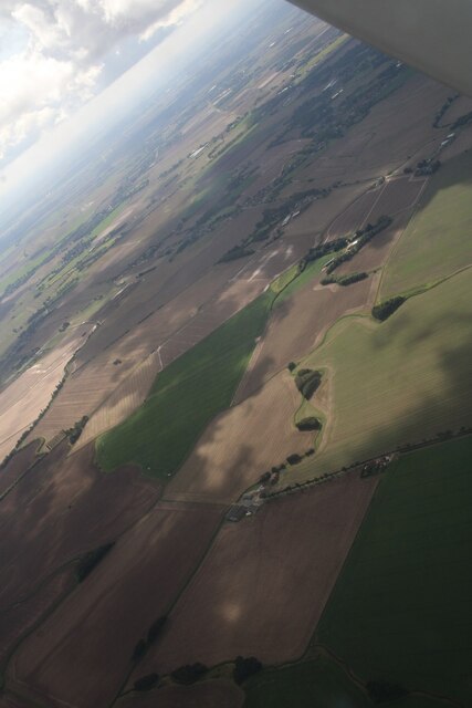
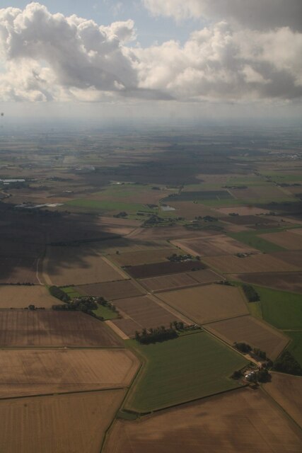
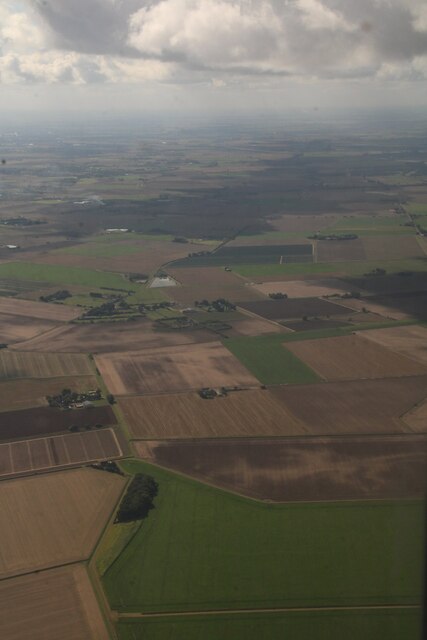
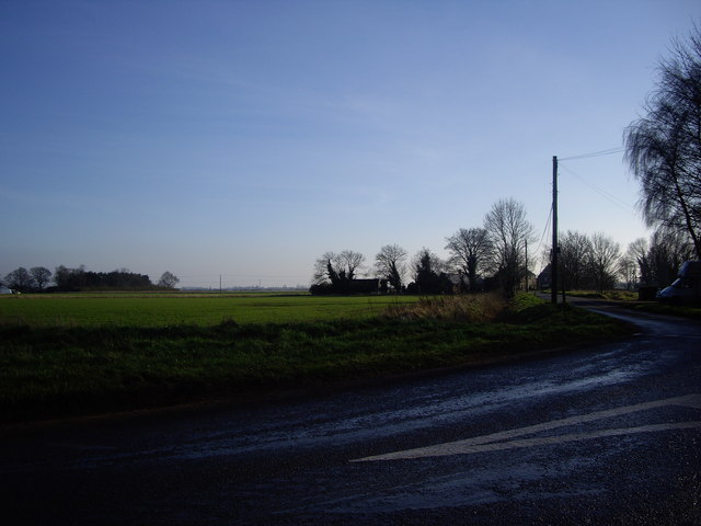
Governor's Marsh, located in Norfolk, is a picturesque coastal marsh and saltings area that spans across an expansive stretch of land. This marshland is characterized by its rich biodiversity and unique ecosystem, making it an important natural habitat for a variety of plant and animal species.

Situated along the coast, Governor's Marsh is influenced by the ebb and flow of the tides, resulting in a dynamic environment that is constantly changing. The marsh is predominantly composed of salt-tolerant plants, such as sea lavender, sea purslane, and glasswort, which thrive in the marsh's saline conditions. These plants provide crucial shelter and food sources for a diverse array of bird species, including wading birds, wildfowl, and migrating birds.

The marshland is intersected by a network of creeks and channels, which are inhabited by an assortment of marine life, including fish, crabs, and shellfish. The marsh also acts as a natural flood defense, absorbing excess water during high tides and storms, thereby reducing the risk of coastal erosion and flooding in surrounding areas.

Governor's Marsh is a designated Site of Special Scientific Interest (SSSI) due to its ecological importance. It offers visitors and nature enthusiasts the opportunity to explore its natural beauty through a network of footpaths and trails. Birdwatchers, in particular, flock to the marsh to catch glimpses of rare and migratory species.

Overall, Governor's Marsh in Norfolk is a captivating coastal marshland that boasts a diverse range of plant and animal life. Its ecological significance, coupled with its scenic beauty, makes it a must-visit destination for nature lovers and those seeking to explore Norfolk's natural heritage.

If you have any feedback on the listing, please let us know in the comments section below.

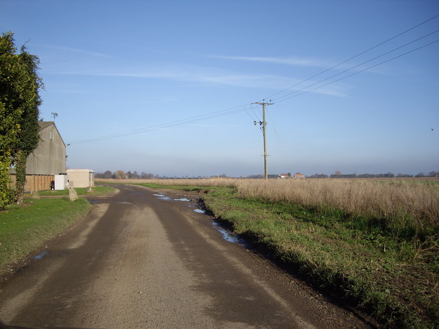
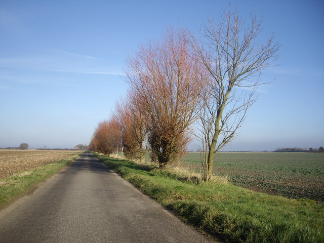
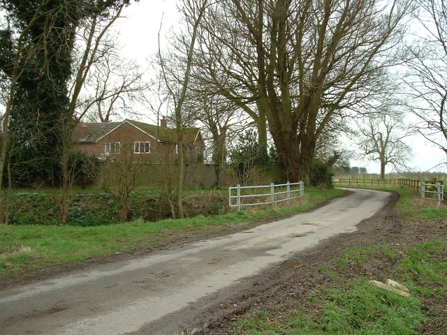
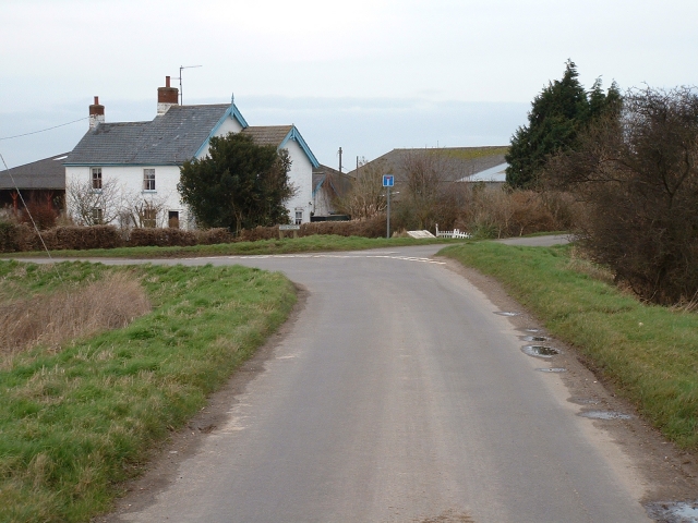
Governor's Marsh Images

Images are sourced within 2km of 52.785244/0.30124229 or Grid Reference TF5523. Thanks to Geograph Open Source API. All images are credited.

Bentinck Marsh, Terrington St Clement: aerial 2023 Terrington Marsh.
Bentinck Marsh, Terrington St Clement: aerial 2023
Terrington Marsh.
Horsehoe Hole to Balaclava Farm, Terrington Marsh: aerial 2023 Hole is centre bottom.
Horsehoe Hole to Balaclava Farm, Terrington Marsh: aerial 2023
Hole is centre bottom.
Walker's Marsh and Silt Cottages, Terrington St Clement: aerial 2023: aerial 2023 Silt Cottages bottom left in the small triangle left of the wood.
Walker's Marsh and Silt Cottages, Terrington St Clement: aerial 2023: aerial 2023
Silt Cottages bottom left in the small triangle left of the wood.
Old New Marsh What a name for a marsh!
Old New Marsh
What a name for a marsh!
Road Near The Laurels Farm Yet again, the roads round these parts live true to their legend!
Road Near The Laurels Farm
Yet again, the roads round these parts live true to their legend!
Road Close to Pierrepont Farm Ok, so I was on a Geograph mission to get these squares! I do think these trees make a great contrast with the blue sky though!
Road Close to Pierrepont Farm
Ok, so I was on a Geograph mission to get these squares! I do think these trees make a great contrast with the blue sky though!
Cottage, Long Road, Terrington This is an attractive and warm brick cottage sited on a sharp bend on Long Road, which leads out of Terrington towards the marsh - next stop Belgium!
It was formerly a licensed beer house known as The Foresters' Arms and is now known as Foresters' Farm.
Cottage, Long Road, Terrington
This is an attractive and warm brick cottage sited on a sharp bend on Long Road, which leads out of Terrington towards the marsh - next stop Belgium! It was formerly a licensed beer house known as The Foresters' Arms and is now known as Foresters' Farm.
Long Road, Terrington Marsh A typical Marshland road - arrow straight and punctuated only by scattered and lonely farms and labourers' cottages.
Long Road, Terrington Marsh
A typical Marshland road - arrow straight and punctuated only by scattered and lonely farms and labourers' cottages.
Fern Farm, Terrington Marsh An attractive name, but modern and functional farm buildings at the end of a puddle-stewn lane deep in Terrington Marsh.
Fern Farm, Terrington Marsh
An attractive name, but modern and functional farm buildings at the end of a puddle-stewn lane deep in Terrington Marsh.
Balaclava Farm, Terrington Marsh There are several Crimean references locally, including Sebastopol House, and Alma Avenue. This is tidy modern farm on the site of an older building.
Balaclava Farm, Terrington Marsh
There are several Crimean references locally, including Sebastopol House, and Alma Avenue. This is tidy modern farm on the site of an older building.
Greenmarsh Lane, Terrington St Clement A pleasant 19th century cottage marks the junction of two lanes on the outskirts of Terrington St Clement.
Greenmarsh Lane, Terrington St Clement
A pleasant 19th century cottage marks the junction of two lanes on the outskirts of Terrington St Clement.
Racecourse Road, Terrington Marsh A completely undecipherable name - there is no folk memory of any racecourse ever existing near this arrow-straight Marshland road.
Racecourse Road, Terrington Marsh
A completely undecipherable name - there is no folk memory of any racecourse ever existing near this arrow-straight Marshland road.
By Rhoon Road Next to the telephone box and post box, a byway leads to Green Bank Farm.  Interestingly, this post box appears in Royal Mail's list as "Marshes School".
By Rhoon Road
Next to the telephone box and post box, a byway leads to Green Bank Farm. Interestingly, this post box appears in Royal Mail's list as "Marshes School".
Farm road crossing over an old sea bank This is one of many old sea banks made redundant by further reclamation of land from The Wash
Farm road crossing over an old sea bank
This is one of many old sea banks made redundant by further reclamation of land from The Wash
Copse in a stubble field near Terrington St Clement One of several areas of trees in this area possibly part of game bird management
Copse in a stubble field near Terrington St Clement
One of several areas of trees in this area possibly part of game bird management
Road and dyke heading towards Horseshoe Hole Farm Part of the vast area of land reclaimed from The Wash north of Terrington St Clement
Road and dyke heading towards Horseshoe Hole Farm
Part of the vast area of land reclaimed from The Wash north of Terrington St Clement
Field of potatoes on New Inclosed Marsh, north of Terrington St Clement A field of potatoes sprayed off and ready for harvesting
Field of potatoes on New Inclosed Marsh, north of Terrington St Clement
A field of potatoes sprayed off and ready for harvesting
Nesting box and farmland, New Inclosed Marsh A view from The New Sea Bank looking over reclaimed farmland to the edge of The Wash on the horizon. North of Terrington St Clement.
Nesting box and farmland, New Inclosed Marsh
A view from The New Sea Bank looking over reclaimed farmland to the edge of The Wash on the horizon. North of Terrington St Clement.
Show me another place!

Governor's Marsh is located at Grid Ref: TF5523 (Lat: 52.785244, Lng: 0.30124229)

Administrative County: Norfolk

District: King's Lynn and West Norfolk

Police Authority: Norfolk

What 3 Words

///broth.sinkhole.list. Near Terrington St Clement, Norfolk

Nearby Locations

Governor's Marsh

Related Wikis

St Clement's High School

St Clement's High School is a coeducational secondary school with academy status, located in the village of Terrington St Clement, in the English county...

Bellmount

Bellmount is a village in Norfolk, England.

Terrington St Clement

Terrington St Clement is a village and civil parish in King's Lynn and West Norfolk borough and district in Norfolk, England. It is in the drained marshlands...

Terrington railway station

Terrington railway station is a former station in Terrington St Clement, Norfolk. It opened in 1866 and was closed in 1959. It was on the Midland and Great...

Nearby Amenities

Located within 500m of 52.785244,0.30124229
Balaclava Cottage
Place: isolated_dwelling
Source: Bing
Lat/Long: 52.7857122/0.3044513
Balaclava Farm
Place: farm
Source: Bing
Lat/Long: 52.7852084/0.3046496
Silt Cottages
Place: isolated_dwelling
Source: Bing
Lat/Long: 52.7873997/0.2967716
Fern Farm
Place: farm
Source: Bing
Lat/Long: 52.7842354/0.2941345
The Lapwings
Place: isolated_dwelling
Source: Bing
Lat/Long: 52.7832385/0.2981325
The data included in this document is from www.openstreetmap.org. The data is made available under ODbL.

Have you been to Governor's Marsh?

Leave your review of Governor's Marsh below (or comments, questions and feedback).