Dartford Marshes

Coastal Marsh, Saltings in Kent Dartford

England

Dartford Marshes

Apartment block beside Fastrack dedicated bus route For details see <span class="nowrap"><a title="https://www.go-fastrack.co.uk/" rel="nofollow ugc noopener" href="https://www.go-fastrack.co.uk/">Link</a><img style="margin-left:2px;" alt="External link" title="External link - shift click to open in new window" src="https://s1.geograph.org.uk/img/external.png" width="10" height="10"/></span>
Apartment block beside Fastrack dedicated bus route Credit: David Martin

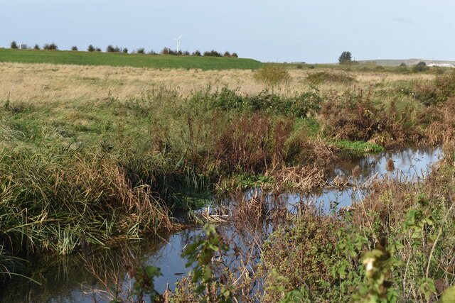
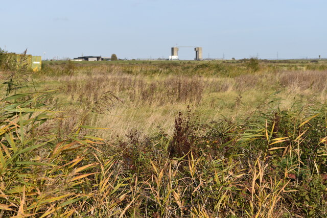
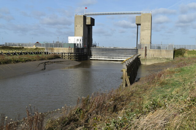
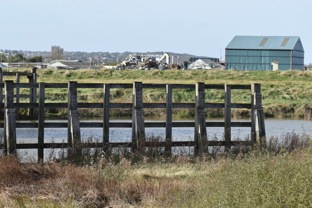
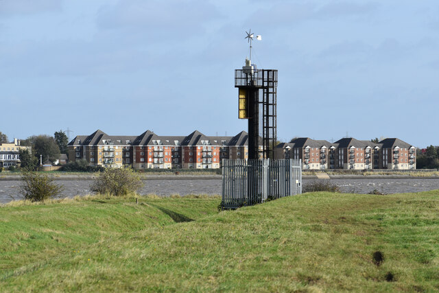
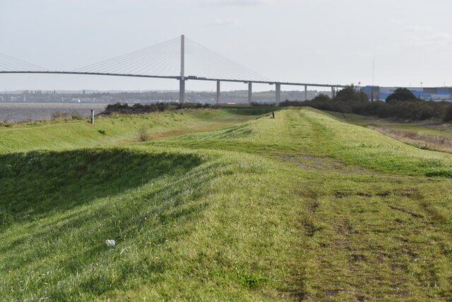
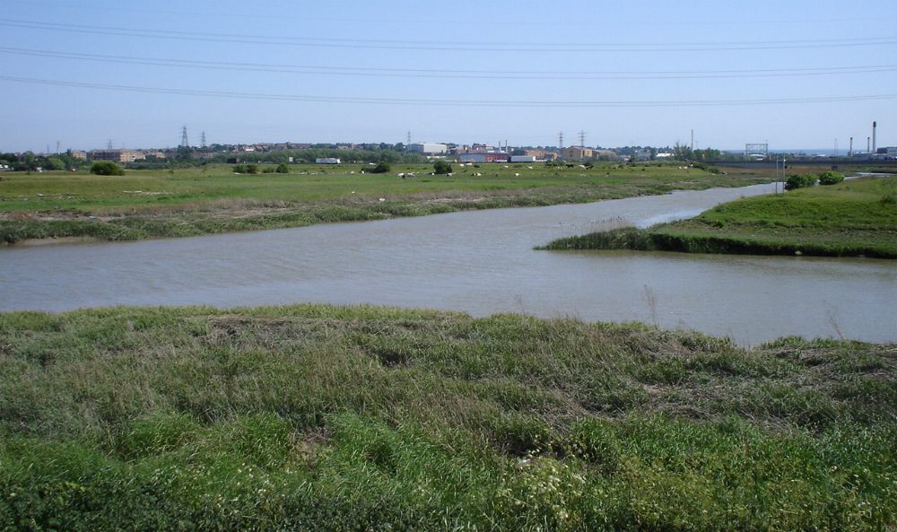
Dartford Marshes, located in Kent, England, is a coastal marshland area known for its unique ecosystem and stunning natural beauty. Situated along the Thames Estuary, this marshland is characterized by its vast expanses of salt marshes and saltings.

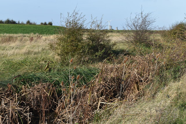
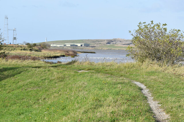
Covering an area of approximately 1,500 hectares, Dartford Marshes is an important habitat for a variety of plant and animal species. The marshes are predominantly composed of salt-tolerant grasses and reeds, which provide a crucial breeding ground and feeding area for numerous bird species. These include wading birds like redshank, curlew, and lapwing, as well as waterfowl such as teal and wigeon.

In addition to its rich avian population, Dartford Marshes also supports a diverse range of marine life. The surrounding estuarine waters are home to various fish species, including flounder, bass, and mullet. The marshes' muddy creeks and channels provide an ideal environment for crabs, shrimps, and other invertebrates.

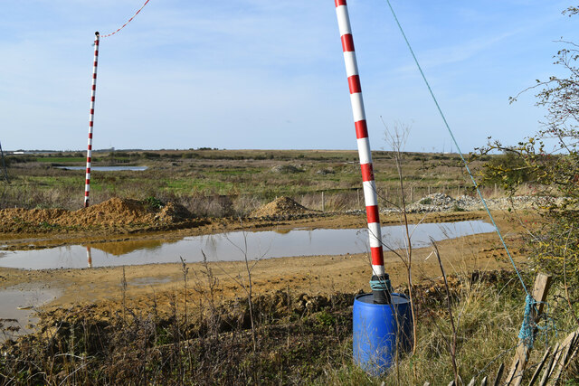
The marshes are not only of ecological significance but also hold historical importance. They have been utilized for centuries for grazing livestock, particularly sheep and cattle. The traditional farming practices in the area have helped shape the distinctive landscape of Dartford Marshes, with its intricate network of ditches and embankments.

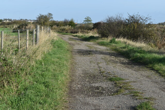
Visitors to Dartford Marshes can enjoy its tranquil surroundings and take part in activities such as birdwatching, walking, and photography. The area is crisscrossed with footpaths and trails, providing access to the marshes' diverse habitats and offering breathtaking views of the estuary. Dartford Marshes is a haven for nature enthusiasts, offering a unique opportunity to experience the beauty and serenity of a coastal marshland ecosystem.

If you have any feedback on the listing, please let us know in the comments section below.

Dartford Marshes Images

Images are sourced within 2km of 51.469214/0.22203569 or Grid Reference TQ5476. Thanks to Geograph Open Source API. All images are credited.

Apartment block beside Fastrack dedicated bus route For details see <span class="nowrap"><a title="https://www.go-fastrack.co.uk/" rel="nofollow ugc noopener" href="https://www.go-fastrack.co.uk/">Link</a><img style="margin-left:2px;" alt="External link" title="External link - shift click to open in new window" src="https://s1.geograph.org.uk/img/external.png" width="10" height="10"/></span>
Apartment block beside Fastrack dedicated bus route
For details see LinkExternal link
Entrance to Fastrack dedicated bus route For details see <span class="nowrap"><a title="https://www.go-fastrack.co.uk/" rel="nofollow ugc noopener" href="https://www.go-fastrack.co.uk/">Link</a><img style="margin-left:2px;" alt="External link" title="External link - shift click to open in new window" src="https://s1.geograph.org.uk/img/external.png" width="10" height="10"/></span>
Entrance to Fastrack dedicated bus route
For details see LinkExternal link
Fastrack bus route at junction with Marsh Street North For details see <span class="nowrap"><a title="https://www.go-fastrack.co.uk/" rel="nofollow ugc noopener" href="https://www.go-fastrack.co.uk/">Link</a><img style="margin-left:2px;" alt="External link" title="External link - shift click to open in new window" src="https://s1.geograph.org.uk/img/external.png" width="10" height="10"/></span>
Fastrack bus route at junction with Marsh Street North
For details see LinkExternal link
Byway passing office building at The Bridge
Modern housing at Joyce Green Lane
Modern housing in Brunel Way
Houses in Brunel Way, seen from footpath
Drainage ditch beside Joyce Green Lane
Sand and gravel quarrying beside Joyce Green Lane
Ditch and marshland beside Joyce Green Lane The grassy bank on the left is the flood bank beside Dartford Creek, which is not accessible from Joyce Green Lane.
Ditch and marshland beside Joyce Green Lane
The grassy bank on the left is the flood bank beside Dartford Creek, which is not accessible from Joyce Green Lane.
Dartford Marshes View across the marshes to the Dartford Creek Barrier, seen from a bend in Joyce Green Lane.
Dartford Marshes
View across the marshes to the Dartford Creek Barrier, seen from a bend in Joyce Green Lane.
Dartford Creek Flood Barrier The barrier was closed due to an approaching high tide, with the river level in the Thames already a couple of metres above that in the Darent.
Dartford Creek Flood Barrier
The barrier was closed due to an approaching high tide, with the river level in the Thames already a couple of metres above that in the Darent.
West tower of Dartford Creek Flood Barrier A guillotine-style barrier with two moving sections lowered on chains into the river, protecting Dartford Creek and surrounding areas from high water levels in the Thames beyond.
West tower of Dartford Creek Flood Barrier
A guillotine-style barrier with two moving sections lowered on chains into the river, protecting Dartford Creek and surrounding areas from high water levels in the Thames beyond.
Footpath at mouth of the River Darent, with distant view of the Thames
Dartford Creek, just below the flood barrier
Beacon at the mouth of Dartford Creek The riverside apartments are at Purfleet on the opposite bank of the Thames.
Beacon at the mouth of Dartford Creek
The riverside apartments are at Purfleet on the opposite bank of the Thames.
On the Thames flood bank at Dartford Marshes The grass bank is part of the Thames flood protection system. The Queen Elizabeth II Bridge is in the distance.
On the Thames flood bank at Dartford Marshes
The grass bank is part of the Thames flood protection system. The Queen Elizabeth II Bridge is in the distance.
Track on Dartford Marshes
Show me another place!

Dartford Marshes is located at Grid Ref: TQ5476 (Lat: 51.469214, Lng: 0.22203569)

Administrative County: Kent

District: Dartford

Police Authority: Kent

What 3 Words

///calms.paying.spent. Near Purfleet, Essex

Nearby Locations

Dartford Marshes

Related Wikis

Joyce Green Hospital

Joyce Green Hospital was a hospital near Dartford, Kent, England. It opened in 1903 as an isolation hospital. In later years it was a training hospital...

Joyce Green, Kent

Joyce Green is an area of Dartford in Kent, England. The former Joyce Green Hospital and Royal Flying Corps Station Joyce Green used to be in the area...

Long Reach sewage treatment works

The Long Reach sewage treatment works is located in Dartford, Kent adjacent to the River Thames. It treats the sewage from a population of 837,000 in a...

The Leigh UTC

The Leigh UTC is a University Technical College (UTC) for the Dartford area of Kent, England, that opened in September 2014. The UTC specialises in Engineering...

River Cray

The River Cray is the largest tributary of the River Darent. It is the prime river of outer, south-east Greater London, rising in Priory Gardens, Orpington...

River Darent

The Darent is a Kentish tributary of the River Thames and takes the waters of the River Cray as a tributary in the tidal portion of the Darent near Crayford...

Littlebrook Power Station

The Littlebrook Power Station were a series of four oil and coal-fired power stations situated on the south bank of the River Thames, next to the Queen...

Purfleet railway station

Purfleet railway station is on the London, Tilbury and Southend line serving the town of Purfleet, Essex. It is 16 miles 2 chains (25.8 km) down the line...

Nearby Amenities

Located within 500m of 51.469214,0.22203569
Source: bing
Lat/Long: 51.4686572/0.2179285
Power: tower
Lat/Long: 51.4648944/0.2231053
Disused Man Made: flagpole
Note: No flag on it at time of survey
Lat/Long: 51.4720244/0.2202335
Flag Type: organisation
Man Made: flagpole
Lat/Long: 51.4720039/0.2202221
Flag Type: organisation
Man Made: flagpole
Lat/Long: 51.4719864/0.2202187
Disused Man Made: flagpole
Note: No flag on it at time of survey
Lat/Long: 51.4719642/0.22021
Barrier: stile
Foot: yes
Stile: stepover
Wheelchair: no
Lat/Long: 51.4722762/0.2201101
The data included in this document is from www.openstreetmap.org. The data is made available under ODbL.

Have you been to Dartford Marshes?

Leave your review of Dartford Marshes below (or comments, questions and feedback).