Aveley Marshes

Coastal Marsh, Saltings in Essex

England

Aveley Marshes

Pylon on Rainham Marshes, Wennington
Pylon on Rainham Marshes, Wennington Credit: David Howard

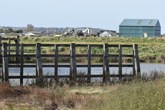
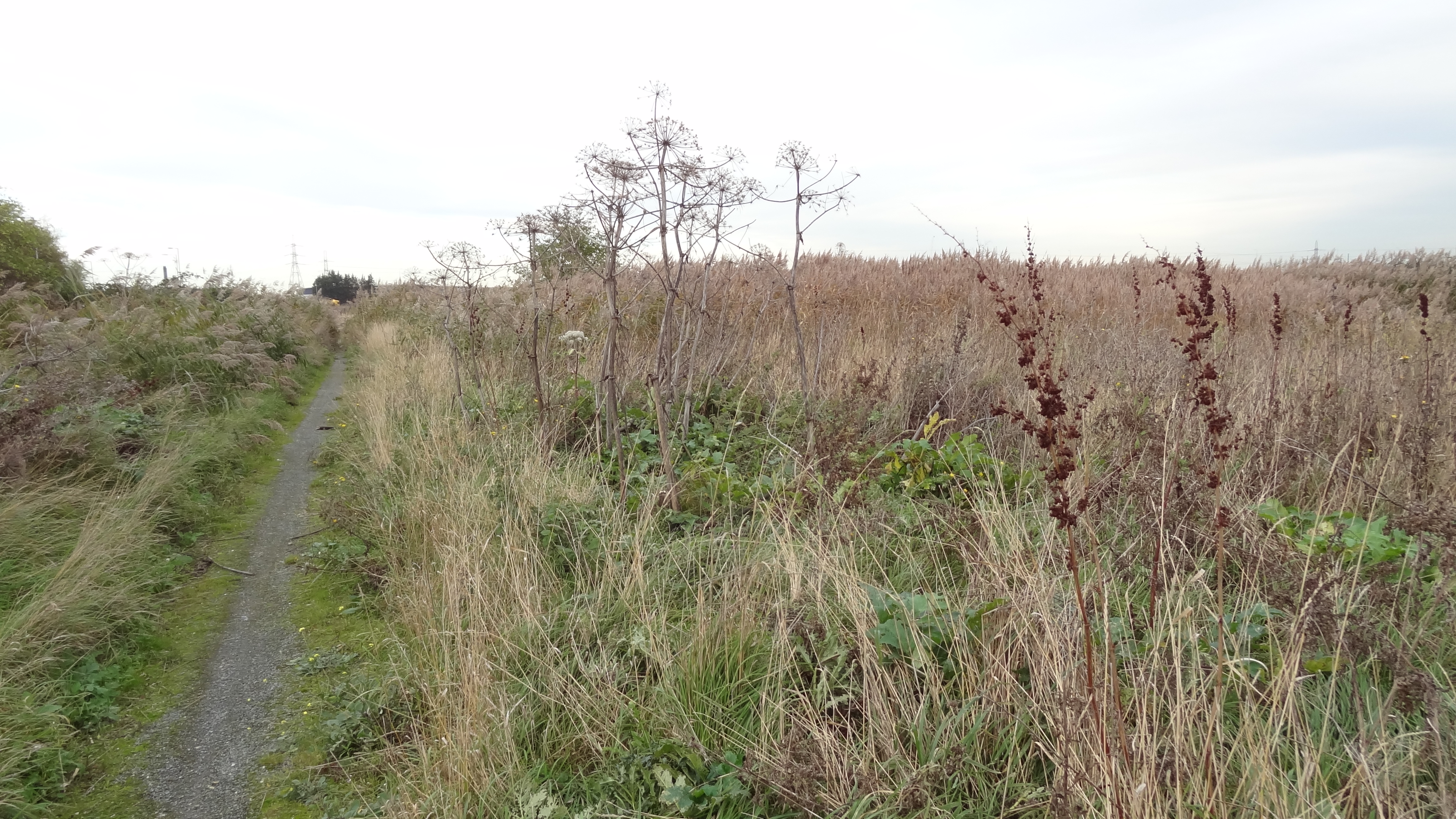
Aveley Marshes, located in Essex, England, is a coastal marshland characterized by its unique saltings. Covering an area of approximately 6 square kilometers, this vast expanse of wetland is an essential habitat for a wide variety of plant and animal species.

The marshes are primarily dominated by salt-tolerant vegetation, such as samphire and sea lavender, which thrive in the brackish water conditions. These plants provide crucial nesting and feeding grounds for numerous bird species, including avocets, redshanks, and lapwings. In fact, Aveley Marshes is recognized as a Site of Special Scientific Interest (SSSI) due to its importance as a breeding and roosting site for birds.

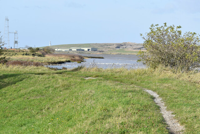
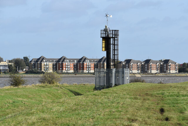
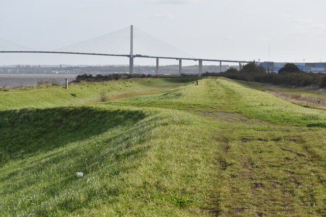
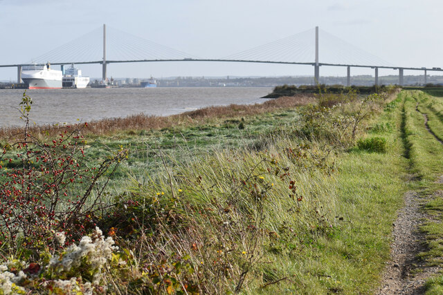
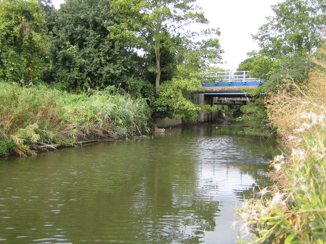
The marshes are intersected by several tidal creeks and channels, which are influenced by the ebb and flow of the nearby Thames Estuary. This constant exchange of saltwater and freshwater creates a dynamic ecosystem that supports a rich diversity of marine life. Visitors to Aveley Marshes can witness a range of wading birds, ducks, and geese, as well as occasional sightings of seals and other marine mammals.

Aside from its ecological significance, Aveley Marshes also offers recreational opportunities for nature enthusiasts and hikers. The area is crisscrossed by a network of footpaths and trails, allowing visitors to explore its natural beauty and observe the diverse wildlife in their natural habitat.

Overall, Aveley Marshes is a captivating coastal marshland that serves as a vital haven for numerous plants and animals. Its unique saltings and tidal creeks make it a fascinating destination for both wildlife conservationists and outdoor enthusiasts.

If you have any feedback on the listing, please let us know in the comments section below.

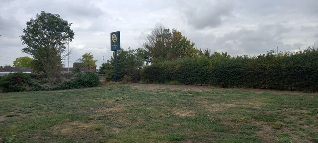
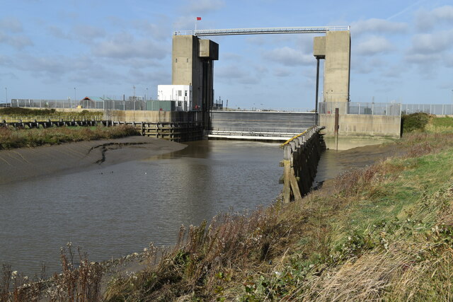
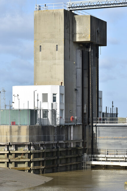
Aveley Marshes Images

Images are sourced within 2km of 51.492594/0.22119889 or Grid Reference TQ5479. Thanks to Geograph Open Source API. All images are credited.

Pylon on Rainham Marshes, Wennington
Rainham Marshes, Wennington
The A13, Wennington By Rainham Marshes
The A13, Wennington
By Rainham Marshes
The A13, Wennington
The A13, Wennington
Rainham Marshes, Wennington
Sign for Willow Farm restaurant, Premier Inn Rainham, Wennington
Car park at Premier Inn Rainham, Wennington
Dartford Creek Flood Barrier The barrier was closed due to an approaching high tide, with the river level in the Thames already a couple of metres above that in the Darent.
Dartford Creek Flood Barrier
The barrier was closed due to an approaching high tide, with the river level in the Thames already a couple of metres above that in the Darent.
West tower of Dartford Creek Flood Barrier A guillotine-style barrier with two moving sections lowered on chains into the river, protecting Dartford Creek and surrounding areas from high water levels in the Thames beyond.
West tower of Dartford Creek Flood Barrier
A guillotine-style barrier with two moving sections lowered on chains into the river, protecting Dartford Creek and surrounding areas from high water levels in the Thames beyond.
Footpath at mouth of the River Darent, with distant view of the Thames
Dartford Creek, just below the flood barrier
Beacon at the mouth of Dartford Creek The riverside apartments are at Purfleet on the opposite bank of the Thames.
Beacon at the mouth of Dartford Creek
The riverside apartments are at Purfleet on the opposite bank of the Thames.
On the Thames flood bank at Dartford Marshes The grass bank is part of the Thames flood protection system. The Queen Elizabeth II Bridge is in the distance.
On the Thames flood bank at Dartford Marshes
The grass bank is part of the Thames flood protection system. The Queen Elizabeth II Bridge is in the distance.
Path beside the Thames, looking to Queen Elizabeth II Bridge
View across Thames to jetty and Harris Academy Riverside
RSPB Rainham Marshes visitor centre The view from the car park.
RSPB Rainham Marshes visitor centre
The view from the car park.
Bridge over creek leading to RSPB visitor centre
Mouth of creek with distant view of Erith If you look really hard, the tall buildings of the City of London and Canary Wharf are visible on the right hand skyline too.
Mouth of creek with distant view of Erith
If you look really hard, the tall buildings of the City of London and Canary Wharf are visible on the right hand skyline too.
Show me another place!

Aveley Marshes is located at Grid Ref: TQ5479 (Lat: 51.492594, Lng: 0.22119889)

Unitary Authority: Thurrock

Police Authority: Essex

What 3 Words

///song.upset.joins. Near Purfleet, Essex

Nearby Locations

Aveley Marshes

Related Wikis

Rainham Marshes Nature Reserve

Rainham Marshes is an RSPB nature reserve in the east of London, adjacent to the Thames Estuary in Purfleet, Thurrock and the London Borough of Havering...

Ensignbus

Ensign Bus Company Limited, trading as Ensignbus, is a bus and coach operator and bus dealer based in Purfleet, Essex. As of March 2023, it is a part of...

Purfleet Rifle Range railway station

Purfleet Rifle Range was a railway station on the London, Tilbury and Southend Railway. It was opened for military use in 1911 and public use in 1921 and...

Mardyke (river)

The Mardyke (sometimes, but less frequently, Mar Dyke, occasionally Mardike) is a small river, mainly in Thurrock, that flows into the River Thames at...

Nearby Amenities

Located within 500m of 51.492594,0.22119889
Power: tower
Lat/Long: 51.4958966/0.2246333
Tourism: viewpoint
Lat/Long: 51.4940921/0.2184441
Tourism: viewpoint
Lat/Long: 51.4943154/0.2273543
Tourism: viewpoint
Lat/Long: 51.4947022/0.2259804
Crossing
Crossing: unmarked
Lat/Long: 51.4953961/0.2245068
Toilets
Wheelchair: yes
Lat/Long: 51.4937141/0.2180406
Bench
Lat/Long: 51.4900561/0.218096
Bench
Lat/Long: 51.488349/0.2211538
Bench
Lat/Long: 51.4883983/0.2209865
Leisure: picnic_table
Lat/Long: 51.4895425/0.2194031
Leisure: picnic_table
Lat/Long: 51.4895357/0.2193467
Leisure: picnic_table
Lat/Long: 51.4894933/0.2193409
Leisure: picnic_table
Lat/Long: 51.4894791/0.219409
Leisure: picnic_table
Lat/Long: 51.4895175/0.219431
Bench
Lat/Long: 51.4921128/0.2150492
Leisure: picnic_table
Lat/Long: 51.4904652/0.2179581
Artwork Type: sculpture
Tourism: artwork
Lat/Long: 51.4918985/0.2150584
The data included in this document is from www.openstreetmap.org. The data is made available under ODbL.

Have you been to Aveley Marshes?

Leave your review of Aveley Marshes below (or comments, questions and feedback).