Dartford Salt Marshes
Coastal Marsh, Saltings in Kent Dartford
England
Dartford Salt Marshes
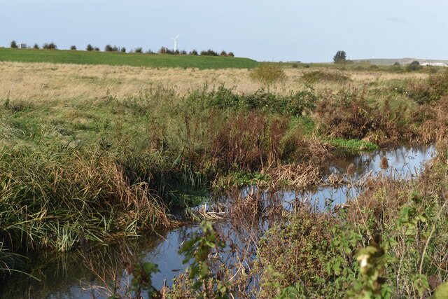
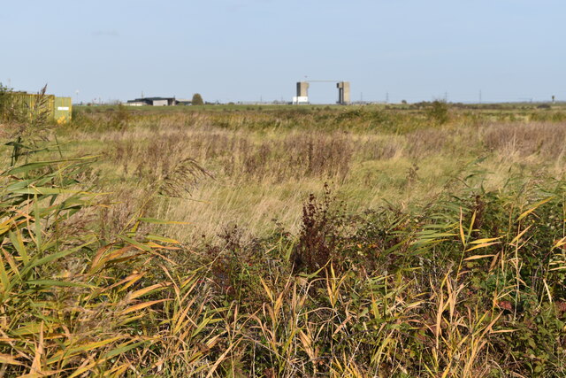
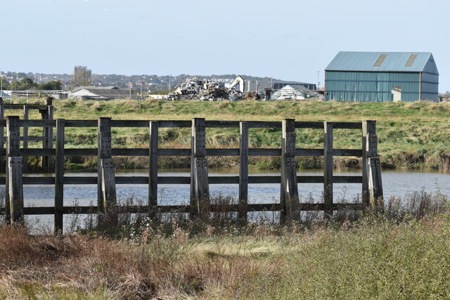
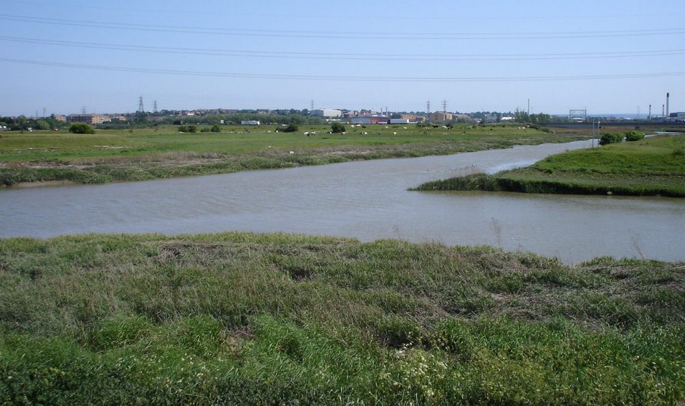
Dartford Salt Marshes, located in Kent, England, is a coastal marshland characterized by its unique environment and diverse ecosystem. Spanning an area of approximately 1,500 acres, it serves as an important habitat for a variety of plant and animal species.
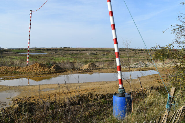
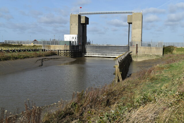
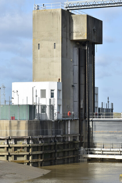
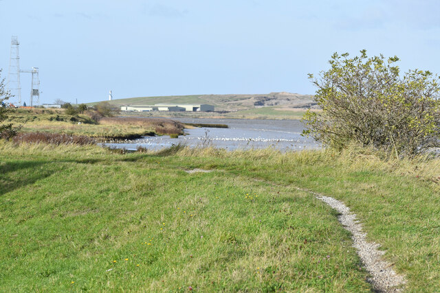
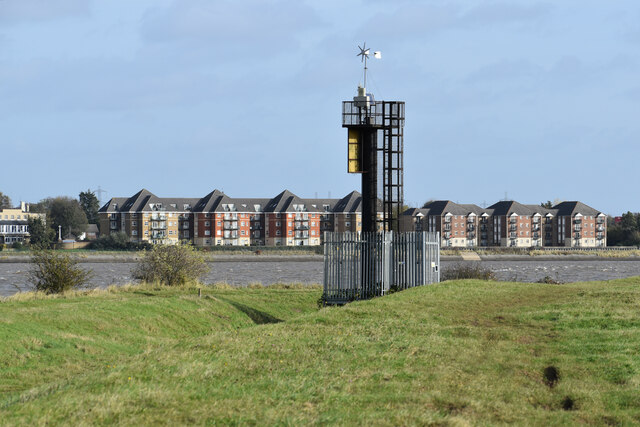
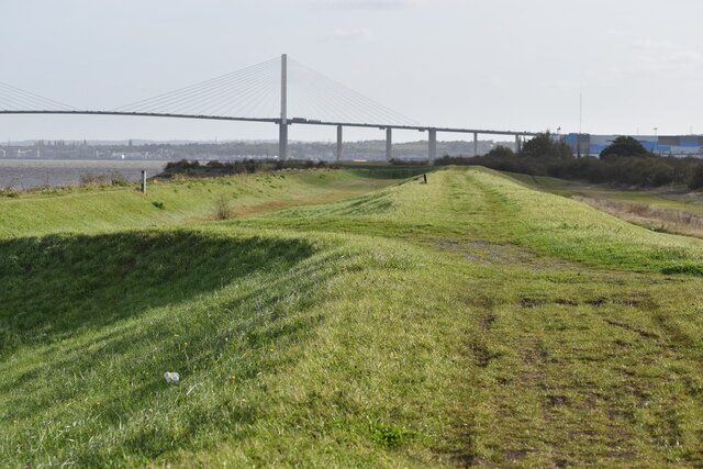
The marshes are situated at the confluence of the River Thames and River Darent, resulting in a dynamic landscape influenced by tidal patterns. The marshes are composed of a mixture of mudflats, salt marsh, and saline lagoons, creating a diverse range of habitats that support a wide array of flora and fauna.
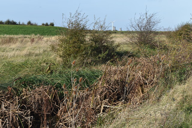
The plant life found in Dartford Salt Marshes is adapted to the challenging conditions of the marshland, with species such as sea lavender, sea aster, and samphire commonly seen. These plants play a crucial role in stabilizing the sediment, preventing erosion, and providing food and shelter for various animals.
The marshes are also home to a rich array of bird species, including wading birds, waterfowl, and migratory species. Birds such as redshanks, oystercatchers, and avocets can be spotted feeding along the mudflats or nesting in the salt marshes.
In addition to its ecological importance, Dartford Salt Marshes also hold historical and cultural significance. The area has been utilized for centuries for grazing livestock, and evidence of human activity, such as ancient ditches and enclosure banks, can still be seen.
Overall, Dartford Salt Marshes provide a valuable habitat for a diverse range of plants, animals, and birds, making it an important conservation site in the region. Its unique combination of coastal and freshwater influences creates a dynamic ecosystem that is both ecologically significant and aesthetically pleasing.
If you have any feedback on the listing, please let us know in the comments section below.
Dartford Salt Marshes Images
Images are sourced within 2km of 51.467903/0.2124402 or Grid Reference TQ5376. Thanks to Geograph Open Source API. All images are credited.


Dartford Salt Marshes is located at Grid Ref: TQ5376 (Lat: 51.467903, Lng: 0.2124402)
Administrative County: Kent
District: Dartford
Police Authority: Kent
What 3 Words
///admit.flat.stews. Near Dartford, Kent
Nearby Locations
Related Wikis
River Cray
The River Cray is the largest tributary of the River Darent. It is the prime river of outer, south-east Greater London, rising in Priory Gardens, Orpington...

Joyce Green Hospital
Joyce Green Hospital was a hospital near Dartford, Kent, England. It opened in 1903 as an isolation hospital. In later years it was a training hospital...

Joyce Green, Kent
Joyce Green is an area of Dartford in Kent, England. The former Joyce Green Hospital and Royal Flying Corps Station Joyce Green used to be in the area...

The Leigh UTC
The Leigh UTC is a University Technical College (UTC) for the Dartford area of Kent, England, that opened in September 2014. The UTC specialises in Engineering...
Slade Green F.C.
Slade Green F.C. was a football club based in Slade Green in the London Borough of Bexley, England. They were established in 1946 and played in the Kent...
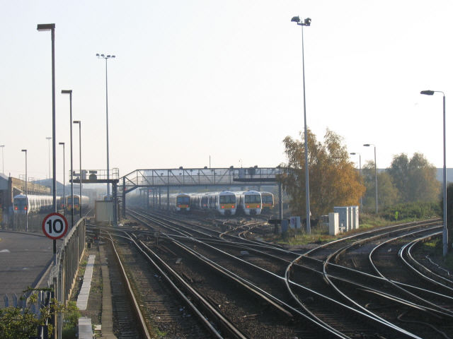
Slade Green Depot
Slade Green Depot is a major railway depot in Slade Green, South East London. The depot is situated south of Slade Green railway station. == History... ==
River Darent
The Darent is a Kentish tributary of the River Thames and takes the waters of the River Cray as a tributary in the tidal portion of the Darent near Crayford...
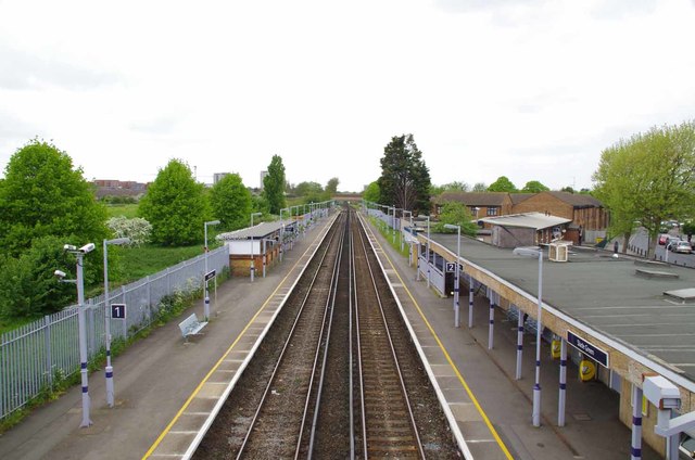
Slade Green railway station
Slade Green railway station is in the London Borough of Bexley, southeast London, on the North Kent Line. It is 15 miles 30 chains (24.7 km) measured from...
Nearby Amenities
Located within 500m of 51.467903,0.2124402Have you been to Dartford Salt Marshes?
Leave your review of Dartford Salt Marshes below (or comments, questions and feedback).