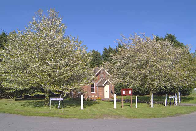
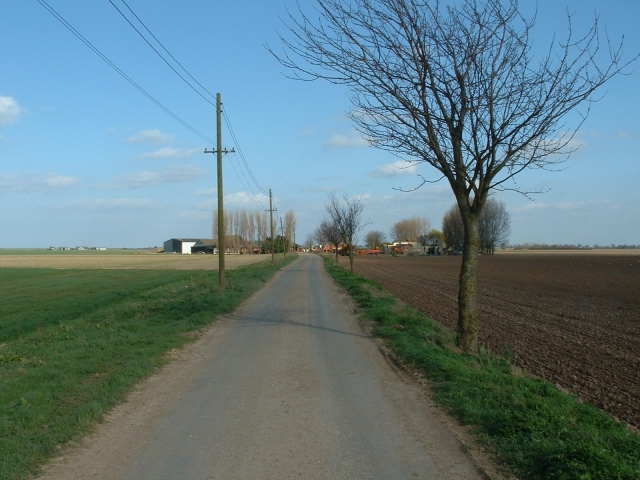
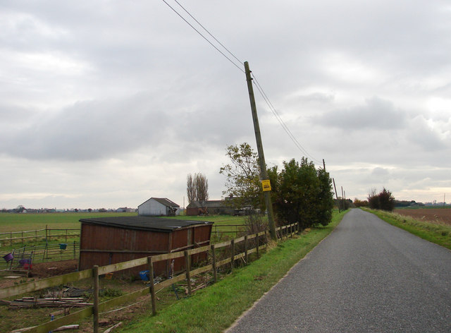
Lutton Marsh
Coastal Marsh, Saltings in Lincolnshire South Holland
England
Lutton Marsh

Lutton Marsh, located in Lincolnshire, is a coastal marshland characterized by its unique ecosystem and scenic beauty. Covering an area of approximately 1,100 hectares, it is situated adjacent to the Wash, a large bay on the east coast of England. The marshland is primarily composed of salt marshes and saltings, creating a diverse and ecologically significant habitat.
Lutton Marsh is known for its extensive salt marsh vegetation, which includes various species of grasses, herbs, and succulents. This vegetation is specially adapted to tolerate the high salinity levels of the marshes, making it an important breeding and feeding ground for numerous bird species. The area is particularly renowned for its large population of wading birds, such as redshanks, avocets, and oystercatchers, which thrive in the marshland's rich feeding grounds.
The marshland is also of significant importance for its role in flood protection. The extensive salt marshes act as a natural buffer against storm surges and high tides, helping to reduce the risk of coastal flooding in the surrounding areas. Additionally, the marshland provides a valuable habitat for a wide range of invertebrates, fish, and other aquatic species.
Lutton Marsh is a popular destination for birdwatchers, nature enthusiasts, and photographers due to its abundance of wildlife and picturesque landscapes. Visitors can explore the marshland through a network of footpaths and bird hides, offering an opportunity to observe the diverse birdlife and experience the tranquility of the area.
Overall, Lutton Marsh in Lincolnshire is a coastal marshland that boasts a rich and diverse ecosystem, providing habitat for numerous bird species and serving as an important flood protection area. Its scenic beauty and abundance of wildlife make it a must-visit location for nature enthusiasts and those seeking to immerse themselves in the coastal beauty of Lincolnshire.
If you have any feedback on the listing, please let us know in the comments section below.
Lutton Marsh Images
Images are sourced within 2km of 52.814222/0.17109926 or Grid Reference TF4626. Thanks to Geograph Open Source API. All images are credited.


Lutton Marsh is located at Grid Ref: TF4626 (Lat: 52.814222, Lng: 0.17109926)
Administrative County: Lincolnshire
District: South Holland
Police Authority: Lincolnshire
What 3 Words
///breached.showcases.conqueror. Near Sutton Bridge, Lincolnshire
Nearby Locations
Related Wikis

Gedney Drove End
Gedney Drove End is a village in the civil parish of Gedney and the South Holland district of Lincolnshire, England. It is 40 miles (64 km) south-east...

Lutton, Lincolnshire
Lutton (sometimes Lutton-Bourne) is a village and civil parish in the South Holland district of Lincolnshire, England. The population of the civil parish...

University Academy Long Sutton
University Academy Long Sutton (formerly The Peele Community College) is a co-educational secondary school located in Long Sutton in the English county...

Little Sutton, Lincolnshire
Little Sutton is a small civil parish, containing a few farms and a few houses, lying between the much larger parishes of Long Sutton and Sutton Bridge...

Holbeach Air Weapons Range
Holbeach Air Weapons Range is a United Kingdom Ministry of Defence academic air weapons range (AWR) situated between Boston and King's Lynn in the civil...
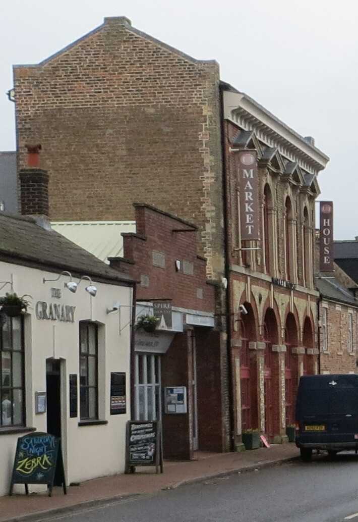
Long Sutton Market House
Long Sutton Market House, also known as Long Sutton Market House and Corn Exchange, is a commercial building in Market Street in Long Sutton, Lincolnshire...

Long Sutton, Lincolnshire
Long Sutton is a market town in the South Holland district of Lincolnshire, England. It lies in The Fens, close to the Wash, 13 miles (21 km) east of Spalding...

Sutton Bridge
Sutton Bridge is a village and civil parish in the South Holland district of Lincolnshire, England. It is situated on the A17 road, 7 miles (11 km) north...
Nearby Amenities
Located within 500m of 52.814222,0.17109926Have you been to Lutton Marsh?
Leave your review of Lutton Marsh below (or comments, questions and feedback).