Tydd St Mary's Marsh
Coastal Marsh, Saltings in Lincolnshire South Holland
England
Tydd St Mary's Marsh

Tydd St Mary's Marsh is a coastal marshland located in Lincolnshire, England. It is situated on the eastern side of The Wash, which is an estuary on the North Sea coast. The marshland is characterized by its vast expanse of salt marshes and saltings, making it a unique and important ecological habitat.
The marshland is predominantly flat and low-lying, with a mixture of mud flats and saltwater marshes. It is home to a diverse range of plant and animal species, many of which are adapted to survive in the harsh saline conditions. The marshes provide an important feeding and breeding ground for various bird species, including waders and wildfowl, which migrate to the area seasonally.
The landscape of Tydd St Mary's Marsh is constantly changing due to the natural processes of sediment deposition and erosion. The tides and currents of The Wash play a vital role in shaping the marshland, creating channels and creeks that meander through the area. These channels are often used by fishermen and boaters for recreational purposes.
The marshland is also of historical significance, with evidence of human occupation dating back to the Roman period. The remains of ancient salt-making industries can still be seen in the form of salt pans and ditches.
Overall, Tydd St Mary's Marsh is a unique and important coastal marshland in Lincolnshire. Its diverse ecosystem, rich wildlife, and historical significance make it a valuable and protected area of natural beauty.
If you have any feedback on the listing, please let us know in the comments section below.
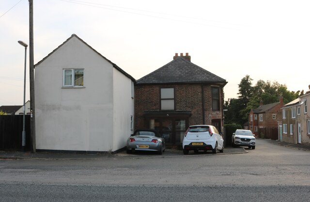
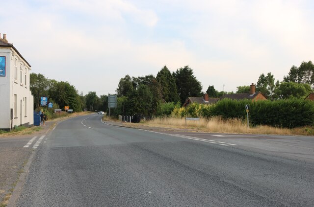
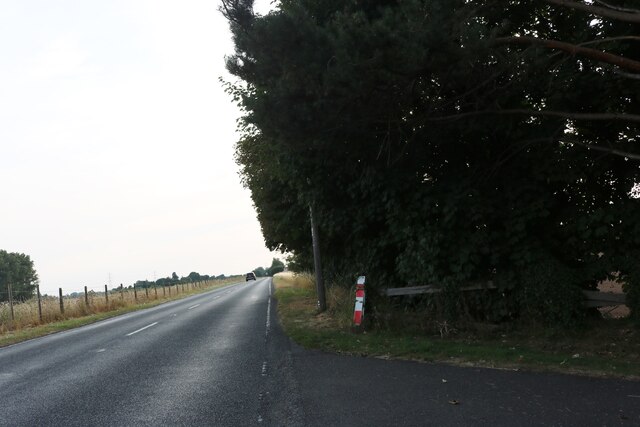
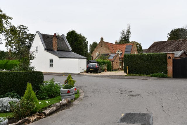
Tydd St Mary's Marsh Images
Images are sourced within 2km of 52.748626/0.16102019 or Grid Reference TF4518. Thanks to Geograph Open Source API. All images are credited.


Tydd St Mary's Marsh is located at Grid Ref: TF4518 (Lat: 52.748626, Lng: 0.16102019)
Administrative County: Lincolnshire
District: South Holland
Police Authority: Lincolnshire
What 3 Words
///enjoy.roost.pokes. Near Sutton Bridge, Lincolnshire
Nearby Locations
Related Wikis

Tydd railway station
Tydd railway station was a station, opened by the Peterborough, Wisbech and Sutton Bridge Railway on 1 August 1866, in Lincolnshire serving the villages...

Tydd Gote
Tydd Gote is an English village, partly, at the north, in the civil parish of Tydd St Mary of the South Holland District of Lincolnshire, and partly, at...

Tydd St Mary
Tydd St Mary is a village and civil parish in the South Holland district of Lincolnshire, England, about 9 miles (14 km) east of the town of Spalding and...
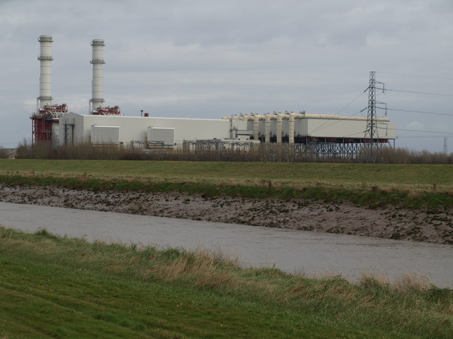
Sutton Bridge Power Station
Sutton Bridge Power Station is an 819 MW gas-fired power station in Sutton Bridge in the south-east of Lincolnshire in South Holland, England. It is situated...
Nearby Amenities
Located within 500m of 52.748626,0.16102019Have you been to Tydd St Mary's Marsh?
Leave your review of Tydd St Mary's Marsh below (or comments, questions and feedback).