Fleet Marsh

Coastal Marsh, Saltings in Lincolnshire South Holland

England

Fleet Marsh

View over the fields to Gedney St Mary Magdalene Church on the horizon
View over the fields to Gedney Credit: Eirian Evans

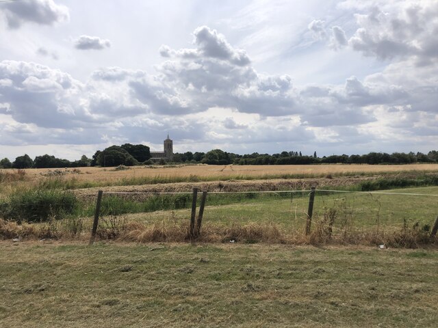
Fleet Marsh is a coastal marshland located in Lincolnshire, England. It is situated near the small village of Fleet Hargate and is part of The Wash, a large bay and estuary in the North Sea. The marsh is known for its unique ecosystem and diverse wildlife.

Covering an area of approximately 2,500 acres, Fleet Marsh is characterized by its extensive salt marshes and saltings. Saltings are areas of flat land that are periodically flooded by the tides and contain a high concentration of salt. These marshes are rich in nutrients and support a wide range of plant and animal species.

The vegetation in Fleet Marsh is predominantly salt-tolerant plants, such as samphire, sea lavender, and glasswort. These plants provide important habitats and food sources for a variety of bird species, including waders like redshanks and curlews, as well as rare breeding birds like the little tern.

The marshland is also home to a number of mammals, such as hares, rabbits, and the occasional seal. In addition, it serves as an important breeding ground for several fish species, including flounders and eels.

Fleet Marsh is a designated Site of Special Scientific Interest (SSSI) and is managed by various conservation organizations. These organizations work to preserve the unique habitats and protect the wildlife that relies on the marshes for their survival.

Visitors to Fleet Marsh can enjoy walking trails and birdwatching opportunities. The marsh offers a tranquil and scenic environment, where visitors can observe the diverse array of plants and animals that call this coastal marsh their home.

If you have any feedback on the listing, please let us know in the comments section below.

Fleet Marsh Images

Images are sourced within 2km of 52.814857/0.086559205 or Grid Reference TF4026. Thanks to Geograph Open Source API. All images are credited.

View over the fields to Gedney St Mary Magdalene Church on the horizon
View over the fields to Gedney
St Mary Magdalene Church on the horizon
Old Milestone by A17, Long Sutton Road, beyond end of dual carriageway The Milestone is located on the verge on the South of the road.  Parish of Gedney (South Holland District). Carved stone post, erected by the Holbeach turnpike trust in the 19th Century. An earlier photograph can be found here: <a title="https://www.geograph.org.uk/photo/2730276" href="https://www.geograph.org.uk/photo/2730276">Link</a> 

Inscription reads:-  
TO / SPALDING / 11 / : : TO / HOLBEACH / 3  : : TO / LONG / SUTTON / 2 / MILES 

Grade II listed. List Entry Number: 1064581 <span class="nowrap"><a title="https://historicengland.org.uk/listing/the-list/list-entry/1064581" rel="nofollow ugc noopener" href="https://historicengland.org.uk/listing/the-list/list-entry/1064581">Link</a><img style="margin-left:2px;" alt="External link" title="External link - shift click to open in new window" src="https://s1.geograph.org.uk/img/external.png" width="10" height="10"/></span> 

Milestone Society National ID: LI_HBSU03
Old Milestone by A17, Long Sutton Road, beyond end of dual carriageway
The Milestone is located on the verge on the South of the road.  Parish of Gedney (South Holland District). Carved stone post, erected by the Holbeach turnpike trust in the 19th Century. An earlier photograph can be found here: Link  Inscription reads:- TO / SPALDING / 11 / : : TO / HOLBEACH / 3 : : TO / LONG / SUTTON / 2 / MILES Grade II listed. List Entry Number: 1064581 LinkExternal link Milestone Society National ID: LI_HBSU03
The Bull at Fleet Hargate The village of Fleet Hargate formerly Fleet Harbourgate a small port
The Bull at Fleet Hargate
The village of Fleet Hargate formerly Fleet Harbourgate a small port
Hamlet of Holbeach Hurn From the south
Hamlet of Holbeach Hurn
From the south
Two Pubs The Bull and The Rose and Crown cluster together on the main street through Fleet Hargate.  The road repair doesn't quite match colour.
Two Pubs
The Bull and The Rose and Crown cluster together on the main street through Fleet Hargate. The road repair doesn't quite match colour.
Church of St Luke, Holbeach Hurn Consecrated in 1869
Church of St Luke, Holbeach Hurn
Consecrated in 1869
The Rose and Crown, Holbeach Hurn A small village pub on the junction of Low Road with Marsh Road.
The Rose and Crown, Holbeach Hurn
A small village pub on the junction of Low Road with Marsh Road.
From Low Road, Holbeach Hurn This is the field between Low Road and Marsh Road. The houses shown are on the southeast side of Marsh Road.
From Low Road, Holbeach Hurn
This is the field between Low Road and Marsh Road. The houses shown are on the southeast side of Marsh Road.
Notice, St Luke's Church Attached to the east door.
Notice, St Luke's Church
Attached to the east door.
West window, St Luke's Church Dedicated to the memory of Thomas Hovendworth RAF, who died in 1941.
West window, St Luke's Church
Dedicated to the memory of Thomas Hovendworth RAF, who died in 1941.
St Luke's Church, Holbeach Hurn This charming little brick church was built in 1869 for a cost of cost £697. The foundation stone was laid in August and it was consecrated on 23rd November following, the Chancel and Burial Ground were consecrated in March 1871. This photograph shows the west end and bell tower. See <a href="https://www.geograph.org.uk/photo/537739">TF3927 : Notice, St Luke's Church</a> for a sign in the porch giving information.
St Luke's Church, Holbeach Hurn
This charming little brick church was built in 1869 for a cost of cost £697. The foundation stone was laid in August and it was consecrated on 23rd November following, the Chancel and Burial Ground were consecrated in March 1871. This photograph shows the west end and bell tower. See TF3927 : Notice, St Luke's Church for a sign in the porch giving information.
Memorial window in St Luke's Church Dedicated to Peter Alaric Worth RAF killed in action 1942
Memorial window in St Luke's Church
Dedicated to Peter Alaric Worth RAF killed in action 1942
Interior of St Luke's Church, Holbeach Hurn Built of brick in 1869 this little church seats approximately 180 people.
Interior of St Luke's Church, Holbeach Hurn
Built of brick in 1869 this little church seats approximately 180 people.
Holbeach Hurn's village hall St Luke’s Church School was built in 1872 . In 1947 it became a Junior School with 43 children attending. The school closed in 1967 and the building remained empty until 1976 when it was leased from the Diocese of Lincoln and became the Village Hall.
Holbeach Hurn's village hall
St Luke’s Church School was built in 1872 . In 1947 it became a Junior School with 43 children attending. The school closed in 1967 and the building remained empty until 1976 when it was leased from the Diocese of Lincoln and became the Village Hall.
Tractor Garden A collection of tractors old and new adorn the garden of this roadside house.
Tractor Garden
A collection of tractors old and new adorn the garden of this roadside house.
Gedney Tower
Gedney Tower
Gedney Church St Mary Magdalene Church at Gedney. The Cathedral of the Fens
Gedney Church
St Mary Magdalene Church at Gedney. The Cathedral of the Fens
Show me another place!

Fleet Marsh is located at Grid Ref: TF4026 (Lat: 52.814857, Lng: 0.086559205)

Administrative County: Lincolnshire

District: South Holland

Police Authority: Lincolnshire

What 3 Words

///tram.darkest.backdrop. Near Fleet, Lincolnshire

Nearby Locations

Fleet Marsh

Related Wikis

Gedney Dyke

Gedney Dyke is a village in the civil parish of Gedney and the South Holland district of Lincolnshire, England. It is 40 miles (64 km) south-east from...
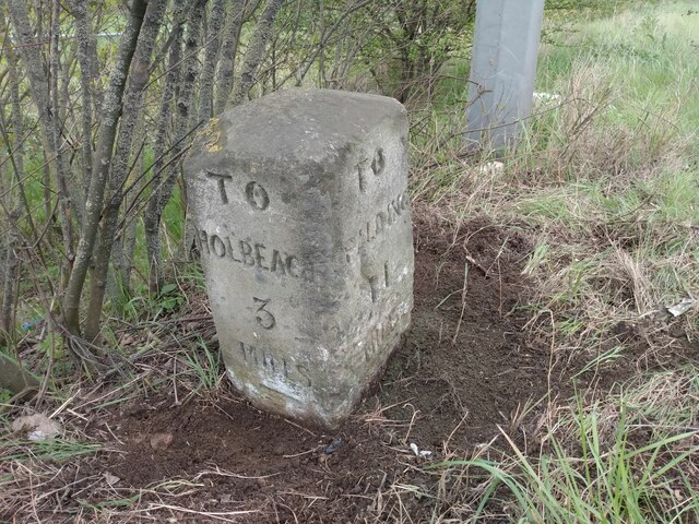
Holbeach Hurn

Holbeach Hurn is a small fenland village in the civil parish of Holbeach in the South Holland district of southern Lincolnshire, England. It is 2.5 miles...
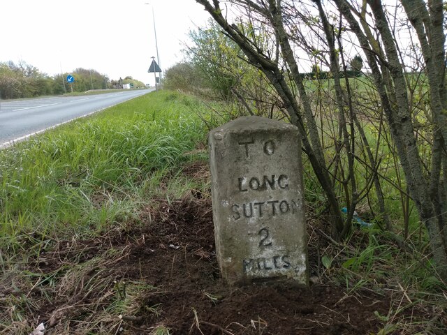
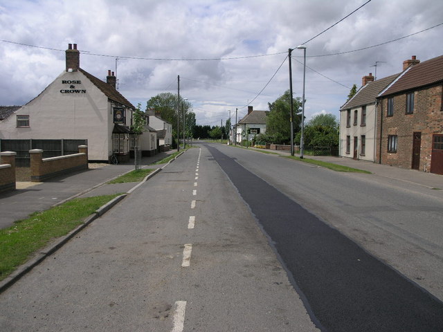
Fleet Hargate

Fleet Hargate is a village in the South Holland district of Lincolnshire, England. It is situated 2 miles (3.2 km) east from Holbeach, and just south from...

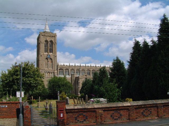
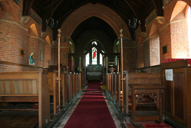
St Mary Magdalene Church, Gedney

St Mary Magdalene Church is an Anglican parish church of medieval origin in Gedney, Lincolnshire. Renowned for its large size in the surrounding low-lying...

Nearby Amenities

Located within 500m of 52.814857,0.086559205
Bus Stop
The Chequers PH
Bus: yes
Naptan AtcoCode: 2700LGD06293
Naptan Bearing: NE
Naptan CommonName: The Chequers PH
Naptan Indicator: adj
Naptan Landmark: The Chequers PH
Naptan NaptanCode: lingawgp
Naptan Street: Main Street
Naptan Verified: no
Public Transport: platform
Source: naptan_import
Lat/Long: 52.8119221/0.0912583
Bus Stop
The Chequers PH
Bus: yes
Naptan AtcoCode: 2700LGDC3922
Naptan Bearing: SW
Naptan CommonName: The Chequers PH
Naptan Indicator: opp
Naptan Landmark: The Chequers PH
Naptan NaptanCode: lindgpdw
Naptan Street: Main Street
Naptan Verified: no
Public Transport: platform
Source: naptan_import
Lat/Long: 52.8119095/0.0914654
Post Box
Collection Times: Mo-Fr 14:45; Sa 09:20
Location: Car Park of 'The Chequers' abandoned public house.
Post Box Type: lamp
Ref: PE12 176
Lat/Long: 52.8121324/0.0913814
Historic: memorial
Memorial: war_memorial
Source: GPS Survey
Lat/Long: 52.8134/0.0931079
Note: fixme: This is the 30mph/NSL boundary; spliced into extant non-GPS trace. Need to survey this bit.
Lat/Long: 52.8126945/0.0861502
Fire Hydrant
Emergency: fire_hydrant
Lat/Long: 52.8133064/0.0929495
Waste Basket
Waste: dog_excrement
Lat/Long: 52.8132969/0.0929191
Fire Hydrant
Emergency: fire_hydrant
Lat/Long: 52.8118229/0.0913311
Bench
Lat/Long: 52.8127841/0.0920833
Bench
Lat/Long: 52.8133622/0.0931266
Fleet Marsh
Place: locality
Source: Bing
Lat/Long: 52.8157496/0.0836447
Mill House Farm
Place: farm
Source: Bing
Lat/Long: 52.8139263/0.0796374
Smiths Farm
Place: farm
Source: Bing
Lat/Long: 52.8142529/0.0865039
The data included in this document is from www.openstreetmap.org. The data is made available under ODbL.

Have you been to Fleet Marsh?

Leave your review of Fleet Marsh below (or comments, questions and feedback).