Halton Marshes
Coastal Marsh, Saltings in Lincolnshire
England
Halton Marshes

Halton Marshes is a coastal marshland located in the county of Lincolnshire, England. Covering an area of approximately 1,200 hectares, it is situated on the eastern side of the River Witham estuary, near the town of Boston. The marshes are primarily made up of salt marshes and saltings, creating a unique and diverse ecosystem.
The landscape of Halton Marshes is characterized by a mixture of mudflats, salt pans, and tidal creeks. It is an important site for bird conservation, as it supports a wide variety of species throughout the year. Several rare and endangered birds can be found here, including marsh harriers, avocets, dunlins, and redshanks. The area provides crucial breeding and nesting grounds for these birds, making it an essential habitat for their survival.
The marshes are also home to a rich array of plant and animal life. The salt marsh vegetation consists of various grasses, herbs, and succulents, specially adapted to thrive in the saline conditions. The presence of different types of algae and bacteria contributes to the overall biodiversity of the area.
In addition to its ecological significance, Halton Marshes also holds historical importance. The remains of a Roman settlement have been discovered on the site, indicating human activity in the area dating back centuries. The marshes have witnessed various land reclamation projects over the years, with attempts made to drain and manage the land for agricultural purposes.
Overall, Halton Marshes in Lincolnshire is a valuable and fragile ecosystem, providing a vital habitat for both wildlife and plant species. Its natural beauty, combined with its historical significance, makes it a popular destination for birdwatching, nature enthusiasts, and those interested in the area's cultural heritage.
If you have any feedback on the listing, please let us know in the comments section below.
Halton Marshes Images
Images are sourced within 2km of 53.678975/-0.26300689 or Grid Reference TA1421. Thanks to Geograph Open Source API. All images are credited.


Halton Marshes is located at Grid Ref: TA1421 (Lat: 53.678975, Lng: -0.26300689)
Unitary Authority: North Lincolnshire
Police Authority: Humberside
What 3 Words
///fund.logo.clues. Near Paull, East Yorkshire
Nearby Locations
Related Wikis

East Halton railway station
East Halton railway station was located on Skitter Road north of East Halton, Lincolnshire, England.The station was built by the Barton and Immingham Light...

Killingholme Admiralty Platform railway station
Killingholme Admiralty Platform railway station, known locally as Admiralty Platform, was near North Killingholme Haven, Lincolnshire, England. The station...

East Halton
East Halton is a small village and civil parish in North Lincolnshire, England. It is situated close to the Humber estuary, approximately 4 miles (6 km...

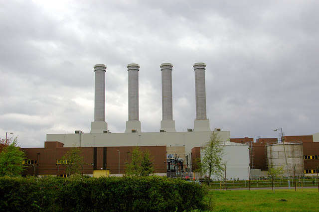
Killingholme A power station
Killingholme A Power Station was a combined‐cycle gas turbine natural gas power station within the civil parish of North Killingholme, in North Lincolnshire...

North Killingholme Haven
North Killingholme Haven is a water outlet on the south bank of the Humber Estuary in the civil parish of North Killingholme, to the north-west of the...
Killingholme B power station
Killingholme B Power Station is a Combined‐cycle gas turbine natural gas power station in the civil parish of North Killingholme in North Lincolnshire...

Humber Gas Tunnel
The Humber Gas Tunnel is a natural gas-carrying pipeline that runs underneath the Humber Estuary between Paull in the East Riding of Yorkshire, and Goxhill...

RAF Goxhill
Royal Air Force Goxhill or RAF Goxhill is a former Royal Air Force station located east of Goxhill, on the south bank of the Humber Estuary, opposite the...
Nearby Amenities
Located within 500m of 53.678975,-0.26300689Have you been to Halton Marshes?
Leave your review of Halton Marshes below (or comments, questions and feedback).