Amberley Swamp
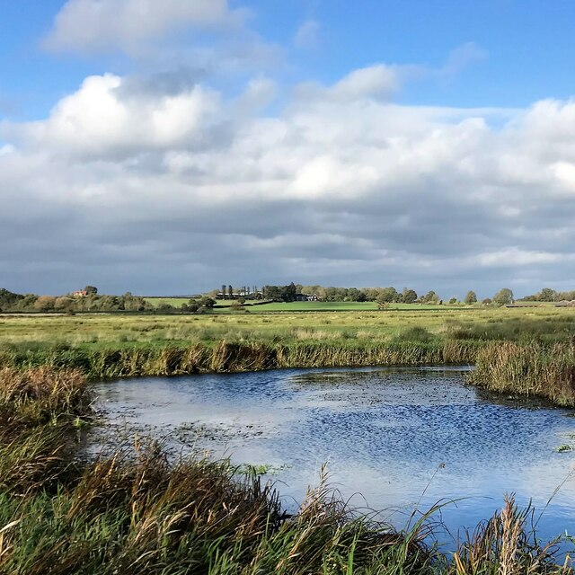
Coastal Marsh, Saltings in Sussex Chichester
England
Amberley Swamp
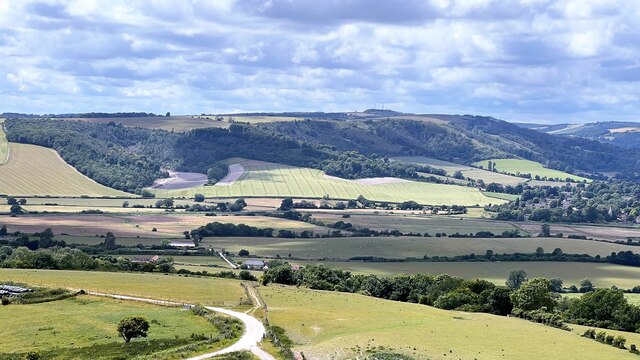
Amberley Swamp, located in Sussex, England, is a coastal marshland encompassing a vast expanse of saltings. Spanning an area of approximately [insert size], this unique wetland ecosystem is characterized by its diverse range of flora and fauna, making it an important ecological site.
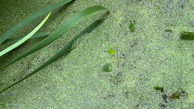
The marshland is primarily composed of a mixture of salt-tolerant plants, including sea lavender, cordgrass, and samphire, which thrive in the brackish environment. These plants play a crucial role in stabilizing the marshland and providing habitat for numerous bird species. In fact, Amberley Swamp is renowned as a significant nesting and feeding ground for various bird populations, including avocets, redshanks, and lapwings.
Furthermore, the swamp acts as a vital stopover point for migratory birds, attracting species such as dunlins and sandpipers during their long journeys. The marsh also supports a diverse range of invertebrates, including shrimp, snails, and worms, which serve as a food source for both resident and migratory bird species.
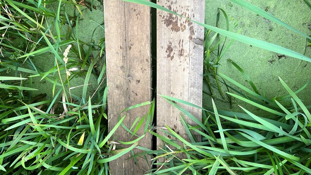
Amberley Swamp is not only biologically significant but also culturally important. It has been designated as a Site of Special Scientific Interest (SSSI) due to its ecological importance and contribution to scientific research. The local community and visitors alike value the swamp for its natural beauty, offering scenic walks along raised boardwalks that allow visitors to explore the marshland while minimizing disturbance to the delicate ecosystem.
Overall, Amberley Swamp is a fascinating coastal marshland, rich in biodiversity and ecological significance, providing a haven for numerous bird species and supporting a delicate balance of flora and fauna. It serves as a testament to the importance of preserving and protecting our wetland ecosystems.
If you have any feedback on the listing, please let us know in the comments section below.
Amberley Swamp Images
Images are sourced within 2km of 50.9135/-0.53877828 or Grid Reference TQ0213. Thanks to Geograph Open Source API. All images are credited.


Amberley Swamp is located at Grid Ref: TQ0213 (Lat: 50.9135, Lng: -0.53877828)
Administrative County: West Sussex
District: Chichester
Police Authority: Sussex
What 3 Words
///slamming.muted.lunching. Near Pulborough, West Sussex
Nearby Locations
Related Wikis
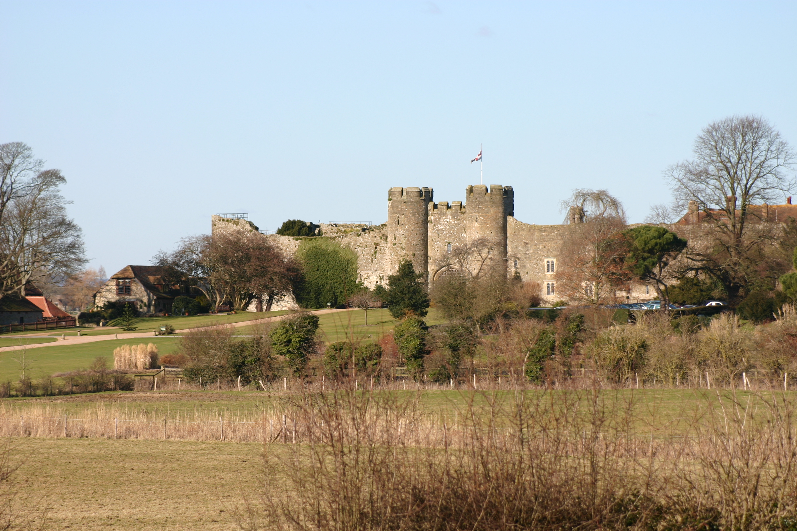
Amberley Castle
Amberley Castle stands in the village of Amberley, West Sussex (grid reference TQ027132). The castle was erected as a 12th-century manor house and fortified...

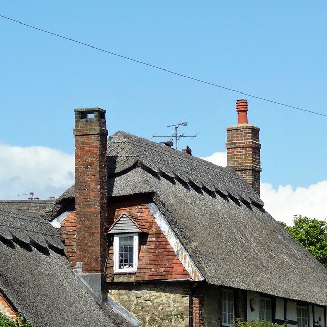
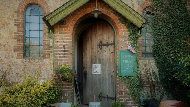
Amberley, West Sussex
Amberley is a village and civil parish in the Horsham District of West Sussex, England. It is situated at the foot of the South Downs, 4 miles (6 km) north...

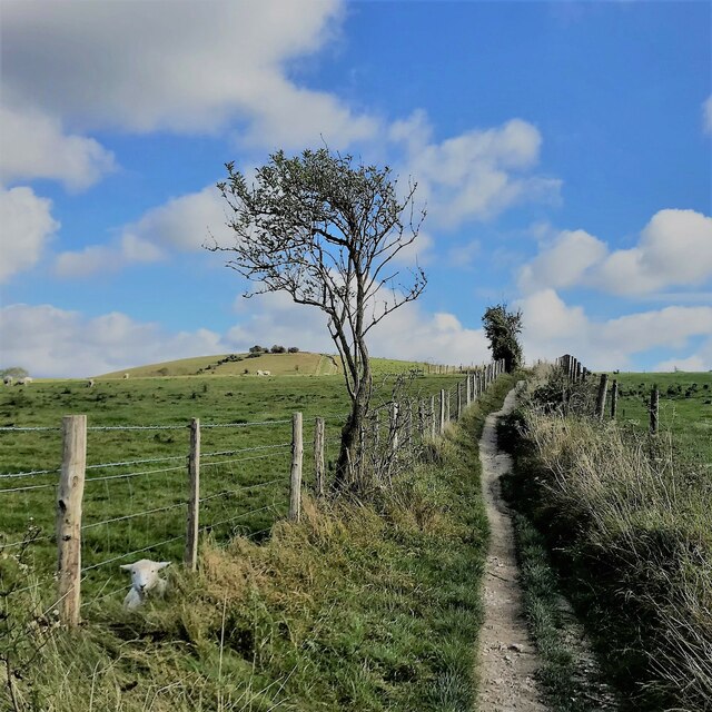
Amberley Wild Brooks
Amberley Wild Brooks or Amberley Wildbrooks is a 327.5-hectare (809-acre) biological Site of Special Scientific Interest west of Storrington in West Sussex...

Dorset House School
Dorset House School is a co-educational preparatory school near Pulborough in West Sussex, England. == History == The school was founded in 1784 as Totteridge...

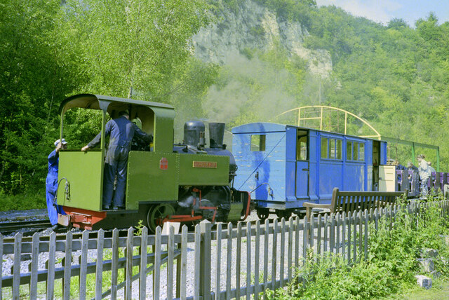
Amberley Museum Railway
The Amberley Museum Railway is a 2 ft (610 mm) narrow gauge railway based at Amberley Museum, Amberley, West Sussex. It has a varied collection of engines...

Amberley Museum & Heritage Centre
Amberley Museum is an open-air industrial heritage museum at Amberley, near Arundel in West Sussex, England. The museum is owned and operated by Amberley...

Bury, West Sussex
Bury is a village and civil parish in the Chichester district of West Sussex, England. It is located on the A29 road, around 5 miles (8 km) south-west...
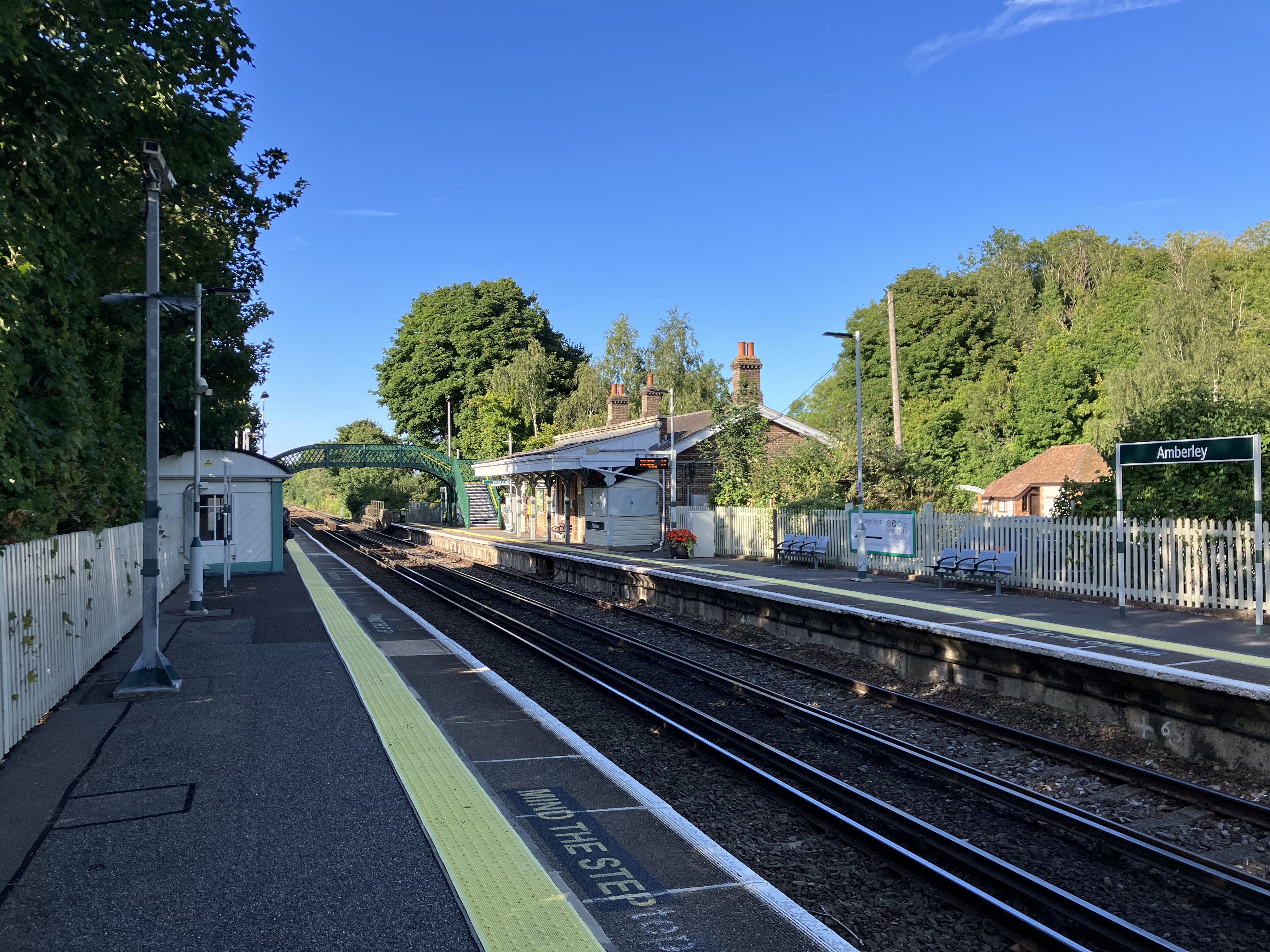
Amberley railway station
Amberley railway station is a railway station in West Sussex, England. It serves the village of Amberley, about half a mile away, and was opened by the...
Nearby Amenities
Located within 500m of 50.9135,-0.53877828Have you been to Amberley Swamp?
Leave your review of Amberley Swamp below (or comments, questions and feedback).