Faxfleet Ness
Coastal Marsh, Saltings in Yorkshire
England
Faxfleet Ness
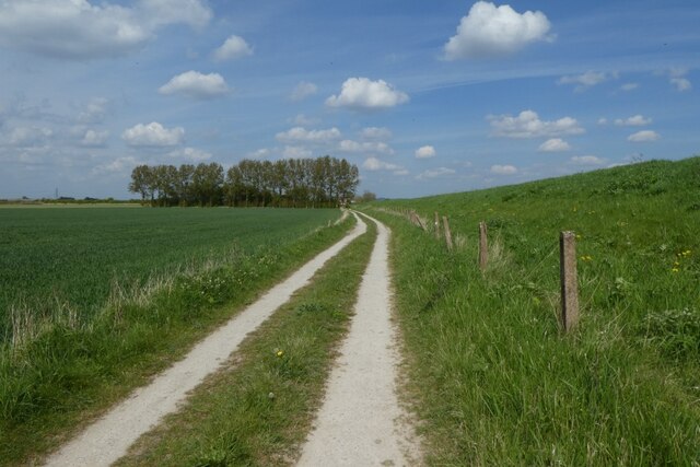
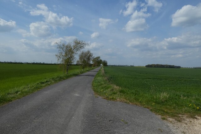
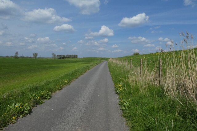
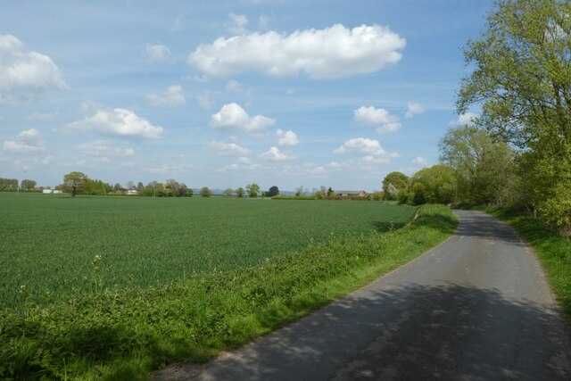
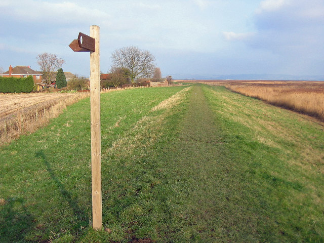
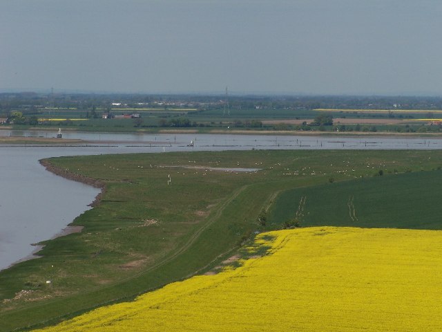
Faxfleet Ness is a prominent coastal marshland area located in the East Riding of Yorkshire, England. Situated on the northern bank of the Humber Estuary, it forms part of the wider Humberhead Levels and is renowned for its unique and diverse ecosystem.
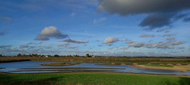
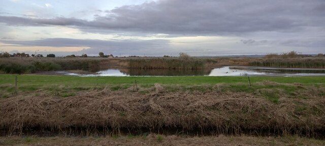
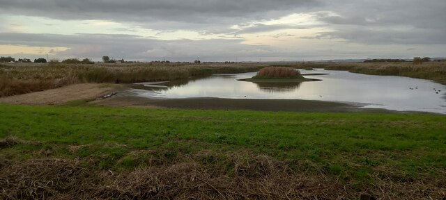
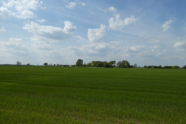
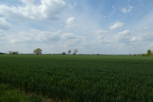
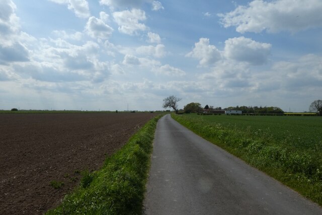
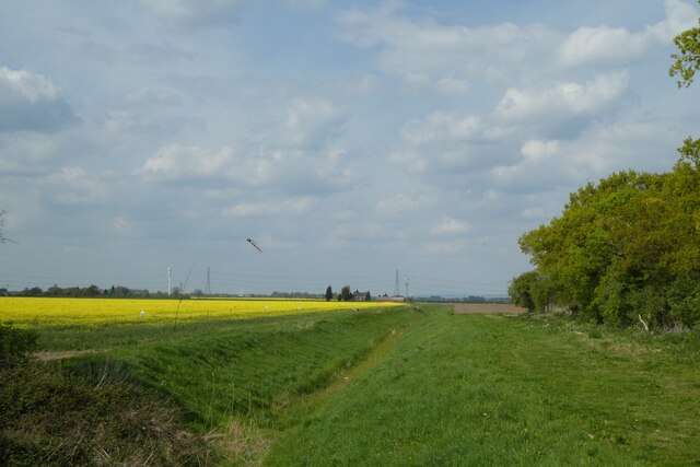
Covering an area of approximately 2 square kilometers, Faxfleet Ness is characterized by its extensive salt marshes and saltings. These marshlands are formed by the intertidal deposition of sediment carried by the Humber River and are subject to regular tidal inundation. The resulting fluctuation in water levels creates a dynamic environment that supports a wide array of plant and animal species.
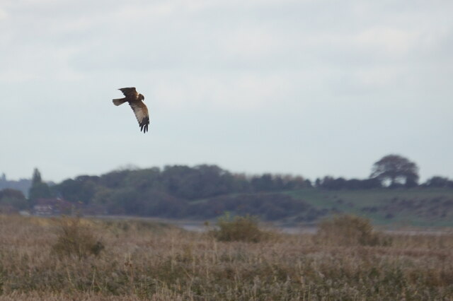
The marshes of Faxfleet Ness provide important habitats for both resident and migratory birds. Various species such as curlews, redshanks, and lapwings can be observed throughout the year, while others like oystercatchers and terns visit during their annual migrations. The area is also known to accommodate breeding colonies of several rare and endangered species.
The marshland vegetation at Faxfleet Ness is predominantly comprised of salt-tolerant plants such as sea aster, sea lavender, and glasswort. These plants play a crucial role in stabilizing the sediment and preventing erosion. The marshes are furthermore intersected by several drainage channels and creeks, adding to the ecological diversity of the area.
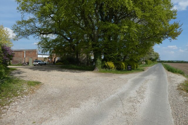
Faxfleet Ness offers visitors the opportunity to explore its natural beauty and observe its abundant wildlife. The site is often frequented by birdwatchers, nature enthusiasts, and photographers seeking to capture the stunning landscapes and the ever-changing tides. With its rich biodiversity and picturesque scenery, Faxfleet Ness is a truly remarkable destination for those interested in coastal marshes and the wonders of the natural world.
If you have any feedback on the listing, please let us know in the comments section below.
Faxfleet Ness Images
Images are sourced within 2km of 53.704428/-0.69607299 or Grid Reference SE8623. Thanks to Geograph Open Source API. All images are credited.


Faxfleet Ness is located at Grid Ref: SE8623 (Lat: 53.704428, Lng: -0.69607299)
Division: East Riding
Unitary Authority: East Riding of Yorkshire
Police Authority: Humberside
What 3 Words
///daunting.vocals.princely. Near Broomfleet, East Yorkshire
Nearby Locations
Related Wikis

River Ouse, Yorkshire
The River Ouse ( OOZ) is a river in North Yorkshire, England. Hydrologically, the river is a continuation of the River Ure, and the combined length of...
Faxfleet
Faxfleet is a hamlet and former civil parish, now in the parish of Blacktoft, in the East Riding of Yorkshire, England. It is situated approximately 6...
River Trent
The Trent is third in the list of longest rivers in the United Kingdom. Its source is in Staffordshire, on the southern edge of Biddulph Moor. It flows...
Trent Falls
Trent Falls is the confluence of the River Ouse and the River Trent which forms the Humber between Lincolnshire and the East Riding of Yorkshire in England...

Blacktoft Sands RSPB reserve
Blacktoft Sands RSPB reserve is a nature reserve in the East Riding of Yorkshire, England. It is managed by the Royal Society for the Protection of Birds...

Blacktoft
Blacktoft is a village and civil parish in the East Riding of Yorkshire, England. The village is situated on the north bank of the River Ouse, 1 mile...

Whitton Island
Whitton Island is an island situated at the western end of the Humber Estuary in northern England. The almond-shaped island straddles the county boundary...

Julian's Bower
Julian's Bower or Julian Bower is a name given to turf mazes in several different parts of England. Only one of this name still exists, at Alkborough in...
Nearby Amenities
Located within 500m of 53.704428,-0.69607299Have you been to Faxfleet Ness?
Leave your review of Faxfleet Ness below (or comments, questions and feedback).