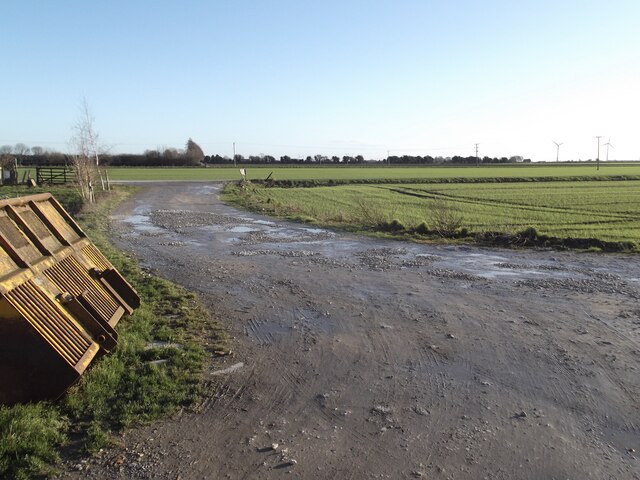
Swang Clough

Coastal Marsh, Saltings in Yorkshire

England

Swang Clough

Track and field south of the allotment gardens
Track and field south of the allotment gardens Credit: David Brown

The requested URL returned error: 429 Too Many Requests

If you have any feedback on the listing, please let us know in the comments section below.
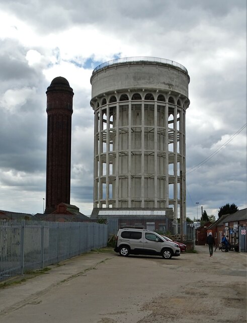
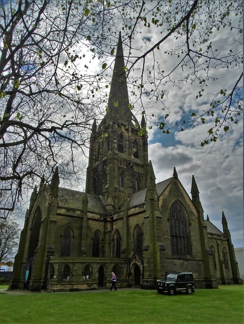
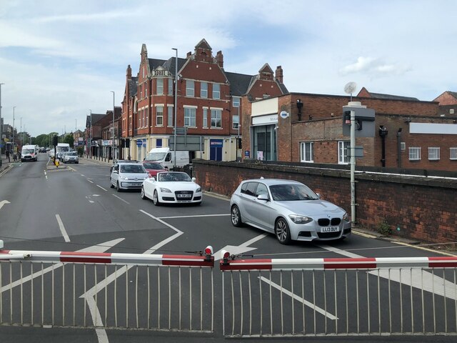
Swang Clough Images

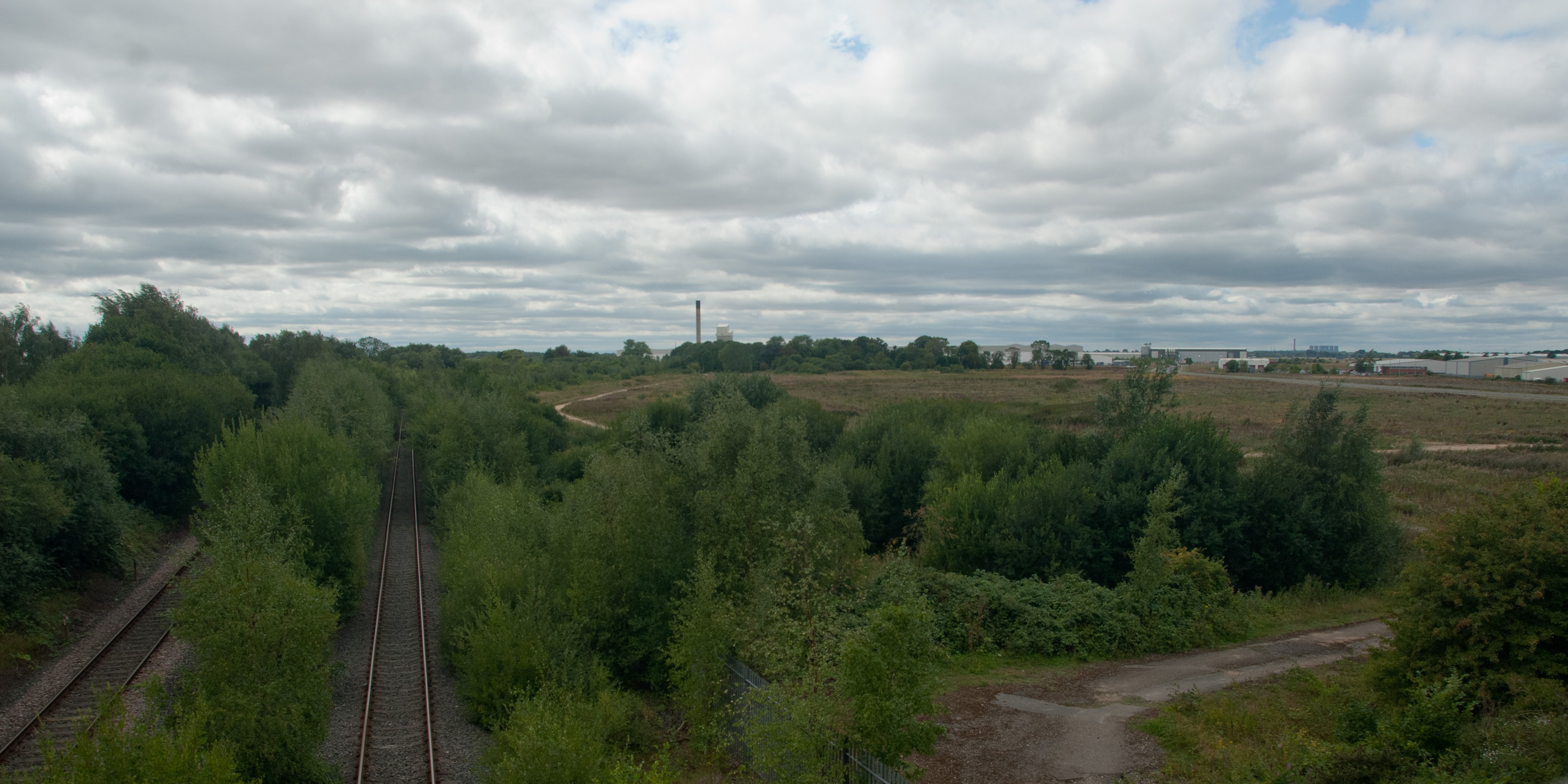
Images are sourced within 2km of 53.694004/-0.88712043 or Grid Reference SE7322. Thanks to Geograph Open Source API. All images are credited.

Track and field south of the allotment gardens
Goole Landmarks Showing the town's two historic water towers  - known locally as the salt n' pepper pots.
Goole Landmarks
Showing the town's two historic water towers - known locally as the salt n' pepper pots.
St John's Church, Goole Goole's main parish church is Grade II listed and was built in the 1840's.
St John's Church, Goole
Goole's main parish church is Grade II listed and was built in the 1840's.
Boothferry Road, Goole
Railway Bridge over the Aire and Calder Navigation This bridge is a replacement for the original one built by the North Eastern Railway.  It carries trains on the Hull to Doncaster and London route.
Railway Bridge over the Aire and Calder Navigation
This bridge is a replacement for the original one built by the North Eastern Railway. It carries trains on the Hull to Doncaster and London route.
Support for the Railway Bridge over the Aire and Calder Navigation For the replacement bridge, the old brick abutments have been cut back and new beam supports provided at both ends.  This is the northwest side of the canal and the removal of brickwork is likely to mean a railside Ordnance Survey flush bracket benchmark no longer exists.  See <span class="nowrap"><a title="https://www.bench-marks.org.uk/bm9890" rel="nofollow ugc noopener" href="https://www.bench-marks.org.uk/bm9890">Link</a><img style="margin-left:2px;" alt="External link" title="External link - shift click to open in new window" src="https://s1.geograph.org.uk/img/external.png" width="10" height="10"/></span> for details of the benchmark.
Support for the Railway Bridge over the Aire and Calder Navigation
For the replacement bridge, the old brick abutments have been cut back and new beam supports provided at both ends. This is the northwest side of the canal and the removal of brickwork is likely to mean a railside Ordnance Survey flush bracket benchmark no longer exists. See LinkExternal link for details of the benchmark.
Detail of the Northwest End of the Railway Bridge over the Aire and Calder Navigation This view shows the extent of old brickwork removal and replacement by new brickwork and steelwork.  As a result an Ordnance Survey flush bracket benchmark at rail level has probably gone.  See <span class="nowrap"><a title="https://www.bench-marks.org.uk/bm9890" rel="nofollow ugc noopener" href="https://www.bench-marks.org.uk/bm9890">Link</a><img style="margin-left:2px;" alt="External link" title="External link - shift click to open in new window" src="https://s1.geograph.org.uk/img/external.png" width="10" height="10"/></span> for details of the benchmark.
Detail of the Northwest End of the Railway Bridge over the Aire and Calder Navigation
This view shows the extent of old brickwork removal and replacement by new brickwork and steelwork. As a result an Ordnance Survey flush bracket benchmark at rail level has probably gone. See LinkExternal link for details of the benchmark.
Cut Mark: Goole, #68 Aire Street Cut bench mark on the building at the corner of Aire Street and Calder Street.  See <a title="https://www.geograph.org.uk/photo/7297521" href="https://www.geograph.org.uk/photo/7297521">Link</a> for a wider view and <span class="nowrap"><a title="https://www.bench-marks.org.uk/bm110325" rel="nofollow ugc noopener" href="https://www.bench-marks.org.uk/bm110325">Link</a><img style="margin-left:2px;" alt="External link" title="External link - shift click to open in new window" src="https://s1.geograph.org.uk/img/external.png" width="10" height="10"/></span> for details of the mark.
Cut Mark: Goole, #68 Aire Street
Cut bench mark on the building at the corner of Aire Street and Calder Street. See Link for a wider view and LinkExternal link for details of the mark.
Building at the Junction of Aire Street and Calder Street An appropriate pair of street names for Goole, where the Aire and Calder Navigation meets the tidal River Ouse.  The building carries a cut bench mark right of the doorway.  See <a title="https://www.geograph.org.uk/photo/7297500" href="https://www.geograph.org.uk/photo/7297500">Link</a> for a closer view and <span class="nowrap"><a title="https://www.bench-marks.org.uk/bm110325" rel="nofollow ugc noopener" href="https://www.bench-marks.org.uk/bm110325">Link</a><img style="margin-left:2px;" alt="External link" title="External link - shift click to open in new window" src="https://s1.geograph.org.uk/img/external.png" width="10" height="10"/></span> for details of the mark.
Building at the Junction of Aire Street and Calder Street
An appropriate pair of street names for Goole, where the Aire and Calder Navigation meets the tidal River Ouse. The building carries a cut bench mark right of the doorway. See Link for a closer view and LinkExternal link for details of the mark.
Cut Mark: Goole Police Station and Court House Cut bench mark on the frontage of the courthouse.  See <a title="https://www.geograph.org.uk/photo/7311652" href="https://www.geograph.org.uk/photo/7311652">Link</a> for a wider view and <span class="nowrap"><a title="https://www.bench-marks.org.uk/bm175098" rel="nofollow ugc noopener" href="https://www.bench-marks.org.uk/bm175098">Link</a><img style="margin-left:2px;" alt="External link" title="External link - shift click to open in new window" src="https://s1.geograph.org.uk/img/external.png" width="10" height="10"/></span> for details of the mark.
Cut Mark: Goole Police Station and Court House
Cut bench mark on the frontage of the courthouse. See Link for a wider view and LinkExternal link for details of the mark.
Goole Courthouse There is a cut bench mark on the frontage of the courthouse near the plant.  See <a title="https://www.geograph.org.uk/photo/7311632" href="https://www.geograph.org.uk/photo/7311632">Link</a> for a closer view and <span class="nowrap"><a title="https://www.bench-marks.org.uk/bm175098" rel="nofollow ugc noopener" href="https://www.bench-marks.org.uk/bm175098">Link</a><img style="margin-left:2px;" alt="External link" title="External link - shift click to open in new window" src="https://s1.geograph.org.uk/img/external.png" width="10" height="10"/></span> for details of the mark.
Goole Courthouse
There is a cut bench mark on the frontage of the courthouse near the plant. See Link for a closer view and LinkExternal link for details of the mark.
Blue Police Lamp over the Entrance to Goole Police Station A reminder of the TV show "Dixon of Dock Green".
Blue Police Lamp over the Entrance to Goole Police Station
A reminder of the TV show "Dixon of Dock Green".
Flush Bracket OSBM G2445: Goole, Osborne House This flush bracket benchmark is on the side of a garage in Airmyn Road.  See <a title="https://www.geograph.org.uk/photo/7312273" href="https://www.geograph.org.uk/photo/7312273">Link</a> for a wider view and <span class="nowrap"><a title="https://www.bench-marks.org.uk/bm14602" rel="nofollow ugc noopener" href="https://www.bench-marks.org.uk/bm14602">Link</a><img style="margin-left:2px;" alt="External link" title="External link - shift click to open in new window" src="https://s1.geograph.org.uk/img/external.png" width="10" height="10"/></span> for details of the mark.
Flush Bracket OSBM G2445: Goole, Osborne House
This flush bracket benchmark is on the side of a garage in Airmyn Road. See Link for a wider view and LinkExternal link for details of the mark.
A garage on Airmyn Road, Goole Just visible around the right-hand angle is a flush bracket benchmark.  See <a title="https://www.geograph.org.uk/photo/7312270" href="https://www.geograph.org.uk/photo/7312270">Link</a> for a close-up and <span class="nowrap"><a title="https://www.bench-marks.org.uk/bm14602" rel="nofollow ugc noopener" href="https://www.bench-marks.org.uk/bm14602">Link</a><img style="margin-left:2px;" alt="External link" title="External link - shift click to open in new window" src="https://s1.geograph.org.uk/img/external.png" width="10" height="10"/></span> for details of the mark.
A garage on Airmyn Road, Goole
Just visible around the right-hand angle is a flush bracket benchmark. See Link for a close-up and LinkExternal link for details of the mark.
Turf Zone "GooleStation" At Goole Railway Station.
Turf Zone "GooleStation"
At Goole Railway Station.
Victoria Hotel On Hook Road, Goole.
Victoria Hotel
On Hook Road, Goole.
Clifton Gardens, Goole (1) Seen from the junction with Boothferry Road.
Clifton Gardens, Goole (1)
Seen from the junction with Boothferry Road.
Lane off Clifton Gardens, Goole (1) Leading to the backs of the gardens of houses along Clifton Gardens. In the distance is what appears to be a former windmill.
Lane off Clifton Gardens, Goole (1)
Leading to the backs of the gardens of houses along Clifton Gardens. In the distance is what appears to be a former windmill.
Show me another place!

Swang Clough is located at Grid Ref: SE7322 (Lat: 53.694004, Lng: -0.88712043)

Division: West Riding

Unitary Authority: East Riding of Yorkshire

Police Authority: Humberside

What 3 Words

///nitrate.cost.quicksand. Near Goole, East Yorkshire

Nearby Locations

Swang Clough

Related Wikis

Yorkshire Waterways Museum

The Yorkshire Waterways Museum was a multi-award-winning museum in Goole, East Riding of Yorkshire, England.Its mission was to 'Use the heritage, arts...

Siemens Goole

Siemens Goole is a train factory located in Goole, East Riding of Yorkshire, England. Siemens Mobility assessed several sites in the United Kingdom before...

Boothferry (district)

The Borough of Boothferry was, from 1 April 1974 to 1 April 1996, a local government district with borough status within the non-metropolitan county of...

Port of Goole

The Port of Goole (also known as Goole Docks and The Port in Green Fields), is a maritime port at the mouth of the Aire and Calder Navigation where it...

Nearby Amenities

Located within 500m of 53.694004,-0.88712043
Goole Boathouse
Tourism: attraction
Lat/Long: 53.6951168/-0.8863439
Barrier: kissing_gate
Foot: yes
Lat/Long: 53.6942911/-0.8888001
Railway: buffer_stop
Lat/Long: 53.6970347/-0.887192
Seamark Type: gate
Waterway: lock_gate
Lat/Long: 53.6940765/-0.8928714
Seamark Type: gate
Waterway: lock_gate
Lat/Long: 53.694112/-0.8927306
Viking Marine
Addr City: Goole
Addr Postcode: DN14 5SY
Addr Street: Albert Street
Email: shop@vikingmarine.co.uk
Internet Access: wlan
Opening Hours: Mo-Fr 09:00-16:00; Sa 10:00-14:00
Phone: +44 1405 765737
Shop: outdoor
Website: http://vikingmarine.co.uk
Lat/Long: 53.6966833/-0.883422
Viking Marine
Addr City: Goole
Addr Postcode: DN14 5SY
Addr Street: Albert Street
Email: shop@vikingmarine.co.uk
Opening Hours: Mo-Fr 09:00-16:00; Sa 10:00-14:00
Phone: +44 1405 765737
Tourism: attraction
Website: http://vikingmarine.co.uk
Lat/Long: 53.6966917/-0.8834126
Barrier: yes
Lat/Long: 53.6968045/-0.8896739
Barrier: yes
Lat/Long: 53.6953618/-0.8828178
The data included in this document is from www.openstreetmap.org. The data is made available under ODbL.

Have you been to Swang Clough?

Leave your review of Swang Clough below (or comments, questions and feedback).