Appleton Bog
Coastal Marsh, Saltings in Yorkshire Ryedale
England
Appleton Bog

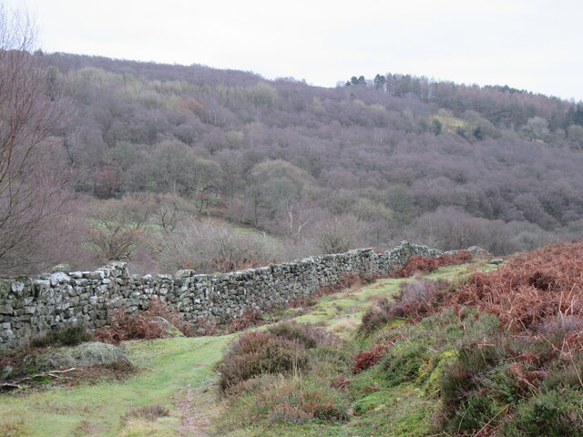
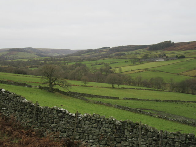
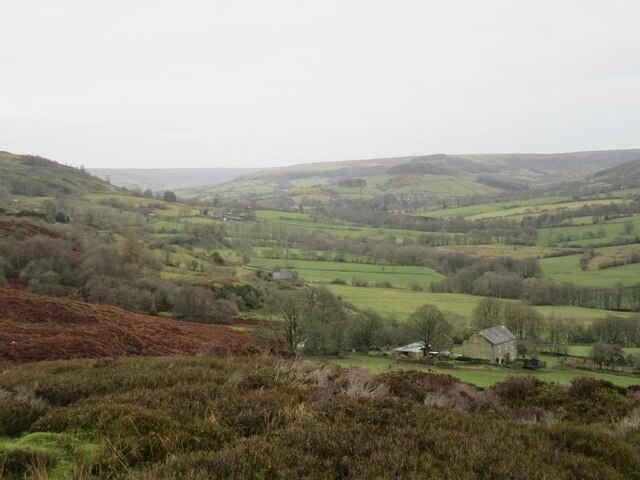
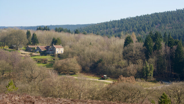
Appleton Bog is a coastal marsh located in Yorkshire, England. Situated along the coastline, it is known for its unique ecosystem and diverse wildlife. The bog is characterized by its extensive salt marshes and saltings, which are formed by the deposition of sediment carried by tidal currents.
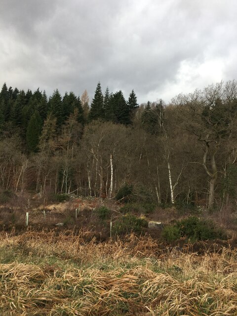
The area is predominantly covered by halophytic vegetation, which thrives in the saline conditions of the marsh. This vegetation includes grasses, sedges, and various types of salt-tolerant plants. The presence of these plants not only helps stabilize the marshland but also provides an important habitat for numerous bird species, including waders and waterfowl.
The bog is a designated nature reserve, managed by local authorities to preserve its ecological importance. It is a popular destination for birdwatchers and nature enthusiasts, who visit to observe the diverse birdlife and the rich array of plant species.
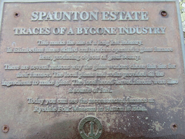
In addition to its ecological significance, Appleton Bog also has historical importance. It is believed to have been used for centuries for salt production, with evidence of salt pans and other structures dating back to the medieval period.
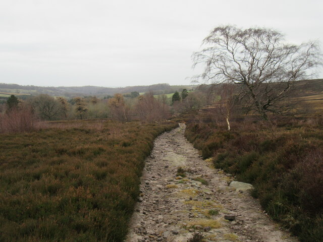
Access to Appleton Bog is restricted to designated paths and trails, ensuring the protection of the delicate ecosystem. Visitors are advised to tread carefully and follow any guidelines provided to minimize disturbance to the wildlife and vegetation.
If you have any feedback on the listing, please let us know in the comments section below.
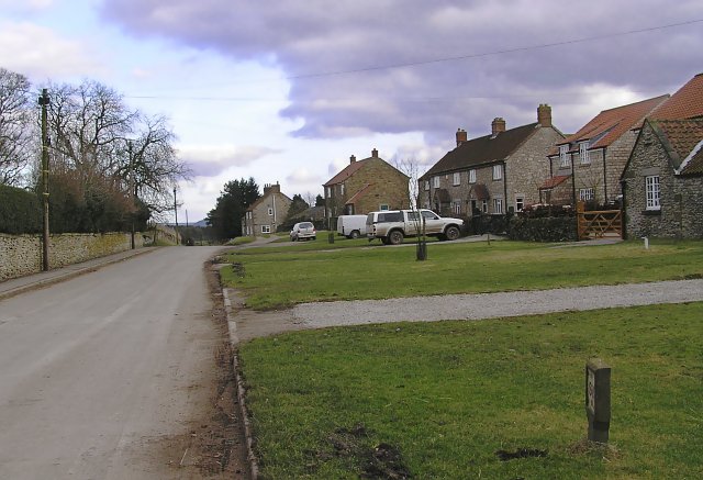
Appleton Bog Images
Images are sourced within 2km of 54.321814/-0.87399684 or Grid Reference SE7392. Thanks to Geograph Open Source API. All images are credited.


![Quarry, Spaunton Moor North York Moors National Park HER Map. RUINED BUILDING and QUARRY. HER Nos: 1261/7833 [online] Available at: <span class="nowrap"><a title="https://www.northyorkmoors.org.uk/discover/archaeology/her-map" rel="nofollow ugc noopener" href="https://www.northyorkmoors.org.uk/discover/archaeology/her-map">Link</a><img style="margin-left:2px;" alt="External link" title="External link - shift click to open in new window" src="https://s1.geograph.org.uk/img/external.png" width="10" height="10"/></span> [Accessed 26 Mar. 2022].](https://s1.geograph.org.uk/geophotos/07/12/90/7129081_14d29caf.jpg)
Appleton Bog is located at Grid Ref: SE7392 (Lat: 54.321814, Lng: -0.87399684)
Division: North Riding
Administrative County: North Yorkshire
District: Ryedale
Police Authority: North Yorkshire
What 3 Words
///parks.power.confusion. Near Kirkbymoorside, North Yorkshire
Nearby Locations
Related Wikis

Church of St Mary, Lastingham
The Church of St Mary, Lastingham, is the Anglican parish church for the village of Lastingham in North Yorkshire, England. The parish is part of Ryedale...

Lastingham
Lastingham is a village and civil parish which lies in the Ryedale district of North Yorkshire, England. It is on the southern fringe of the North York...
Spaunton
Spaunton is a hamlet and civil parish in North Yorkshire, England. At the 2011 the civil parish had a population of less than 100. Details are included...

Rosedale Chimney Bank
Rosedale Chimney Bank or just Chimney Bank is a hill pass that carries a minor road between Rosedale Abbey and Hutton-le-Hole in the Ryedale district of...

Rosedale Abbey
Rosedale Abbey is a village in the Ryedale district of North Yorkshire, England. It is approximately 8 miles (13 km) north-west of Pickering, 8 miles south...

Rosedale, North Yorkshire
Rosedale is a valley located almost in the centre of the North York Moors national park in North Yorkshire, England. The nearest town is Kirkbymoorside...

Rosedale Priory
Rosedale Priory was a priory in Rosedale Abbey, North Yorkshire, England that was founded c. 1150–1199. By the time the priory was suppressed in 1535,...

Hutton-le-Hole
Hutton-le-Hole is a small village and civil parish in North Yorkshire, England, about 7 miles (11 km) north-west of Pickering. It is a popular scenic village...
Have you been to Appleton Bog?
Leave your review of Appleton Bog below (or comments, questions and feedback).