Great Marsh
Coastal Marsh, Saltings in Yorkshire Selby
England
Great Marsh
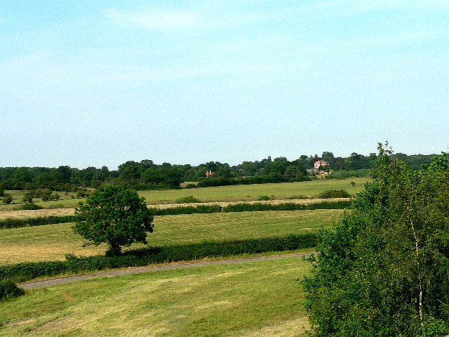
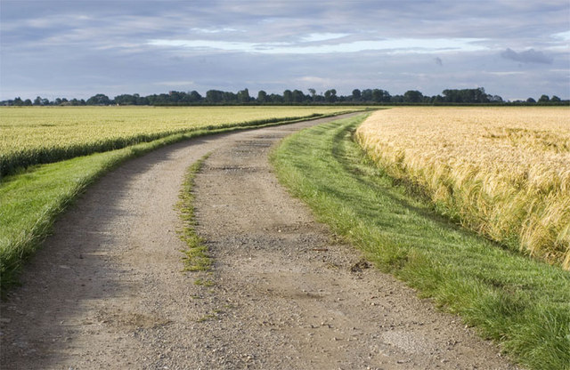
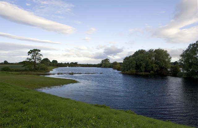
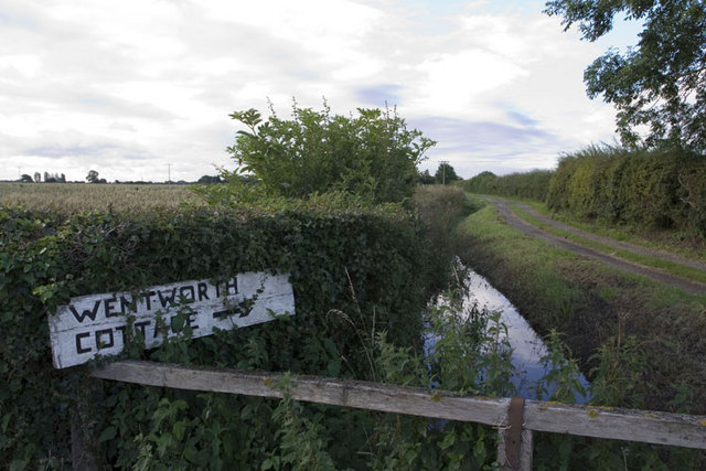
Great Marsh, Yorkshire is a captivating coastal marsh located in North Yorkshire, England. This unique natural landscape is characterized by its vast expanse of saltmarshes and saltings, making it an ecological haven for diverse flora and fauna. Stretching across an area of approximately 10 square kilometers, Great Marsh offers a mesmerizing blend of beauty and biodiversity.
The marsh is situated adjacent to the North Sea, and its proximity to the coast contributes to its distinctive features. The area experiences a high tidal range, resulting in the regular ebb and flow of seawater. This constant interaction between land and sea has given rise to an intricate network of channels, creeks, and mudflats, which provide vital habitats for a wide range of marine and coastal species.
Great Marsh boasts an impressive array of plant life, with its saline soils and brackish water creating a favorable environment for salt-tolerant vegetation. Common species found here include sea lavender, samphire, and sea aster. These plants not only add vibrant colors to the landscape but also provide essential food and shelter for numerous bird species.
Speaking of avian diversity, Great Marsh is a birdwatcher's paradise. The marsh serves as a vital feeding and nesting ground for various migratory birds, such as curlews, oystercatchers, and redshanks. Additionally, it attracts numerous wading birds, including egrets, herons, and avocets. Bird enthusiasts can witness impressive displays of aerial acrobatics and listen to the melodic calls of these feathered visitors.
In conclusion, Great Marsh, Yorkshire is a stunning coastal marsh characterized by its saltmarshes, saltings, and abundant wildlife. With its captivating scenery and rich biodiversity, it offers an unforgettable experience for nature lovers and provides an invaluable habitat for numerous species.
If you have any feedback on the listing, please let us know in the comments section below.
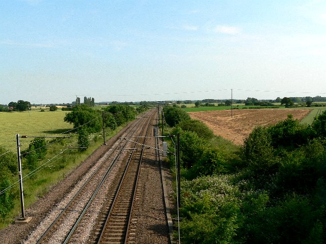
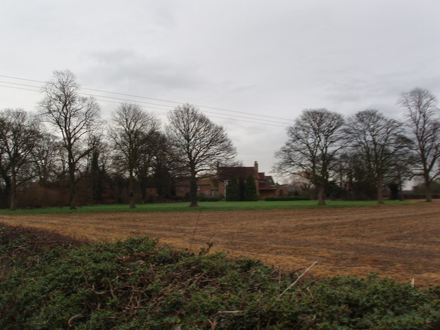
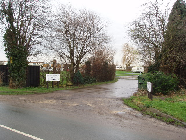
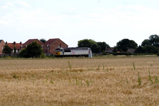
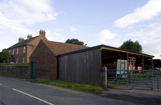
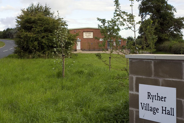
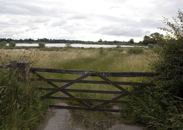
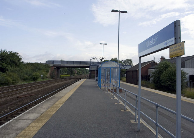
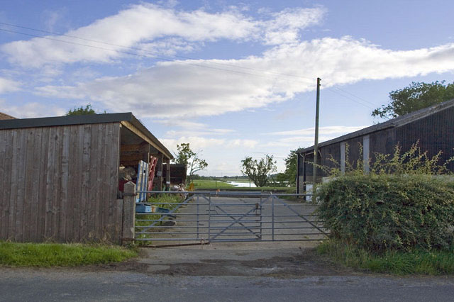
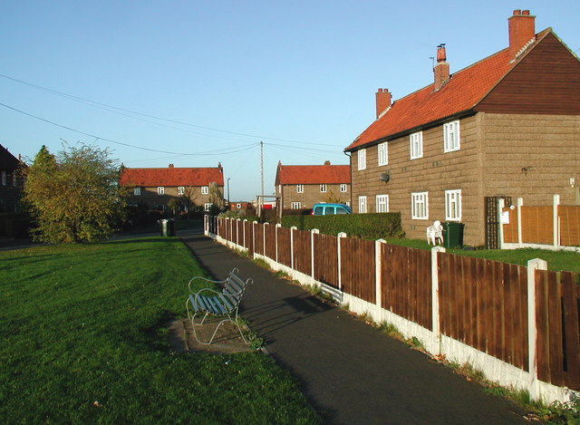
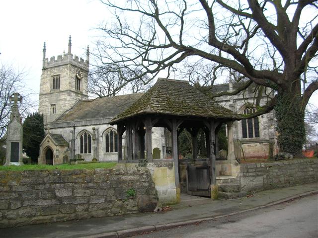
Great Marsh Images
Images are sourced within 2km of 53.85846/-1.1917593 or Grid Reference SE5340. Thanks to Geograph Open Source API. All images are credited.
Great Marsh is located at Grid Ref: SE5340 (Lat: 53.85846, Lng: -1.1917593)
Division: West Riding
Administrative County: North Yorkshire
District: Selby
Police Authority: North Yorkshire
What 3 Words
///quail.alienated.drill. Near Church Fenton, North Yorkshire
Nearby Locations
Related Wikis

All Saints' Church, Bolton Percy
All Saints' Church is the parish church of Bolton Percy, in North Yorkshire in England. There was a church in Bolton Percy at the time of the Domesday...
Bolton Percy
Bolton Percy is a village and civil parish in the Selby District of North Yorkshire, England. According to the 2001 census it had a population of 305...
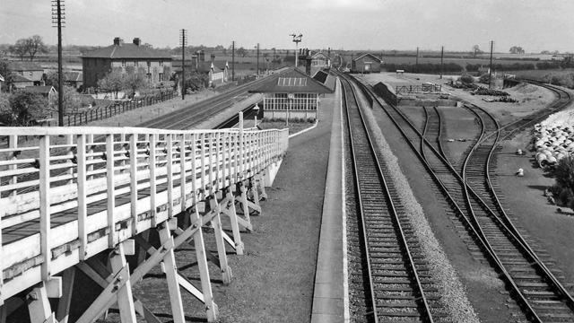
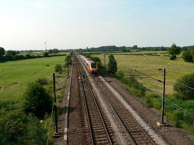
Bolton Percy railway station
Bolton Percy railway station served the village of Bolton Percy, North Yorkshire, England from 1839 to 1965 on the York and North Midland Railway. ��2...

Ulleskelf
Ulleskelf is a village and civil parish in the Selby District of North Yorkshire, England, four miles from Tadcaster on the River Wharfe. Its name comes...

Ulleskelf railway station
Ulleskelf railway station in Ulleskelf, North Yorkshire, England, is 8.75 miles (14 km) south of York. == History == The station opened on 29 May 1839...

Nun Appleton Priory
Nun Appleton Priory was a priory near Appleton Roebuck, North Yorkshire, England. It was founded as a nunnery c. 1150, by Eustace de Merch and his wife...

All Saints' Church, Ryther
All Saints' Church is the parish church of Ryther cum Ossendyke, a village north-west of Selby in Yorkshire, in England. The church was originally built...

Ryther cum Ossendyke
Ryther cum Ossendyke is a civil parish 6 miles (9.7 km) from Tadcaster and 6 miles (9.7 km) from Selby, North Yorkshire, England. It includes the village...
Nearby Amenities
Located within 500m of 53.85846,-1.1917593Have you been to Great Marsh?
Leave your review of Great Marsh below (or comments, questions and feedback).