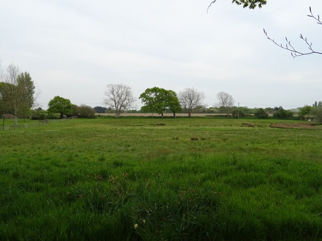
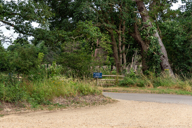
Keeping Marsh
Coastal Marsh, Saltings in Hampshire New Forest
England
Keeping Marsh
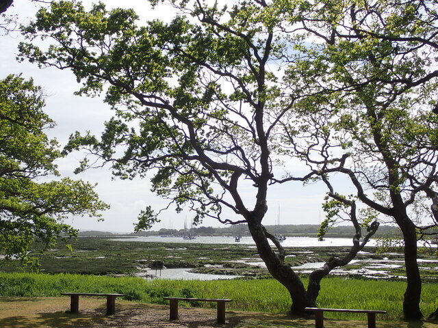
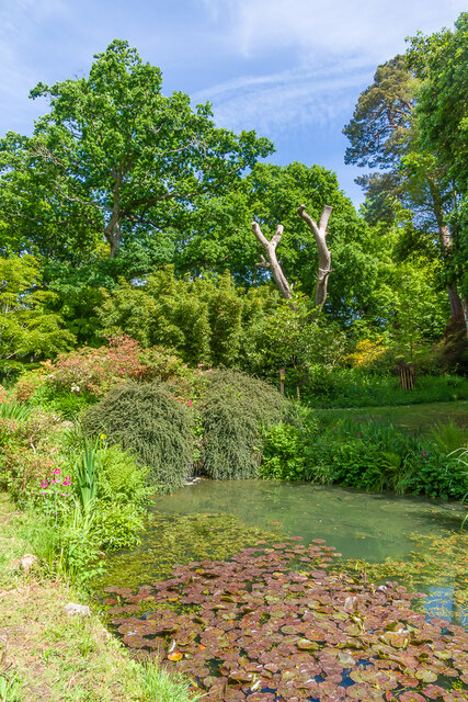
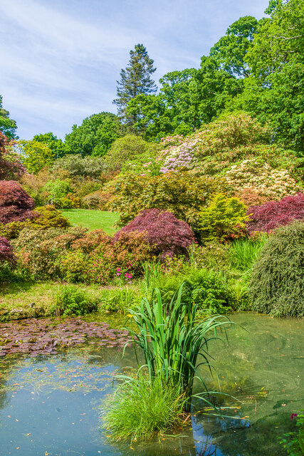
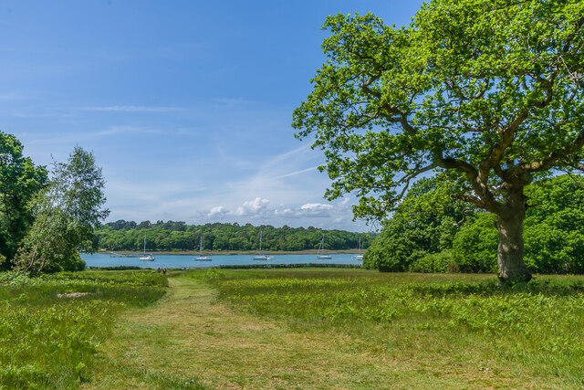
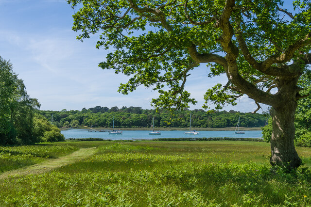
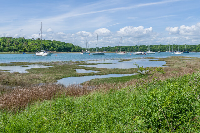
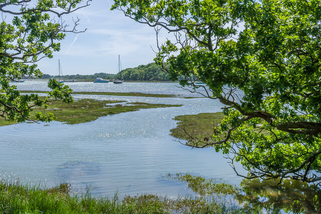
Keeping Marsh is a coastal marsh located in Hampshire, England. It is situated near the village of Keeping, which lies on the southern coast of the country. The marsh is characterized by its vast expanse of wetlands and saltings, creating a unique ecosystem that supports a diverse range of flora and fauna.
The marsh is primarily composed of salt marshes, which are flooded by saltwater during high tides and drained during low tides. This tidal action creates a dynamic environment that is home to various salt-tolerant plants such as samphire, sea lavender, and glasswort. These plants play a crucial role in stabilizing the marsh's sediment and providing habitats for numerous bird species.
The area is renowned for its rich birdlife, attracting both resident and migratory species. It serves as an important breeding ground for wading birds like redshanks, avocets, and oystercatchers. Additionally, the marsh provides feeding grounds for a wide range of waterfowl, including Brent geese, wigeons, and teal.
The marsh is also a designated Site of Special Scientific Interest (SSSI), recognizing its ecological importance and biodiversity. It is managed by local conservation organizations, who work to preserve its delicate balance and protect the wildlife that thrives within its boundaries.
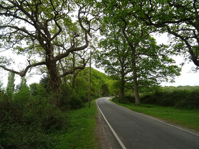
Keeping Marsh offers visitors a chance to experience the beauty and tranquility of a coastal marshland. It provides opportunities for birdwatching, nature walks, and photography. The marsh's close proximity to the village of Keeping makes it easily accessible, attracting both locals and tourists interested in exploring the unique ecosystem and observing its abundant wildlife.
If you have any feedback on the listing, please let us know in the comments section below.
Keeping Marsh Images
Images are sourced within 2km of 50.804292/-1.4223663 or Grid Reference SU4000. Thanks to Geograph Open Source API. All images are credited.
Keeping Marsh is located at Grid Ref: SU4000 (Lat: 50.804292, Lng: -1.4223663)
Administrative County: Hampshire
District: New Forest
Police Authority: Hampshire
What 3 Words
///paraded.complains.diverting. Near Hythe, Hampshire
Nearby Locations
Related Wikis

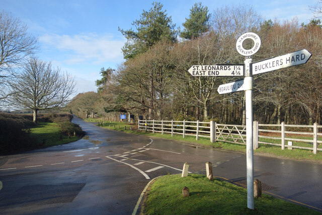
Buckler's Hard
Buckler's Hard is a hamlet on the banks of the Beaulieu River in the English county of Hampshire. With its Georgian cottages running down to the river...
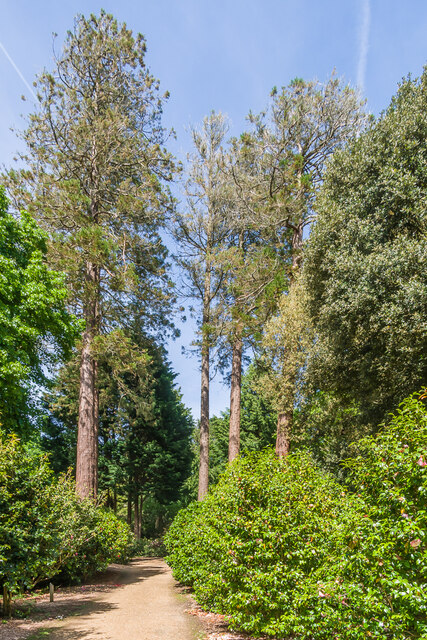
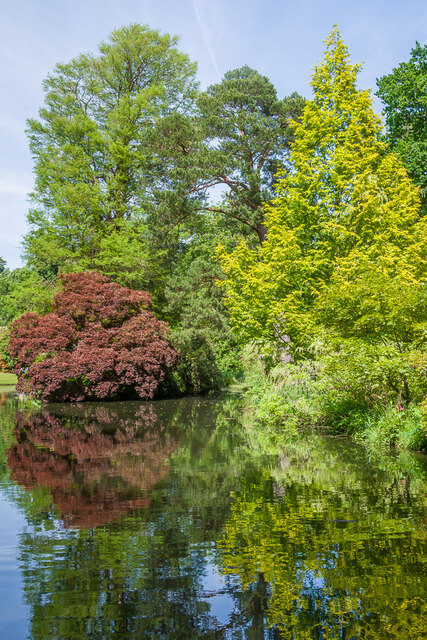
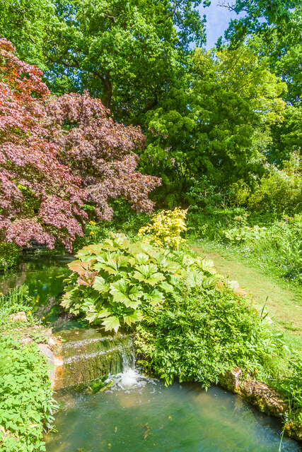
Exbury Gardens
Exbury Gardens is a 200-acre (81 ha) informal woodland garden in Hampshire, England with large collections of rhododendrons, azaleas and camellias, and...

Exbury House
Exbury House is an English country house in Exbury and Lepe, Hampshire, situated on the edge of the New Forest. It is a Grade II* listed building with...

Exbury
Exbury is a village in Hampshire, England. It is in the civil parish of Exbury and Lepe. It lies just in the New Forest, near the Beaulieu River and about...
Beaulieu, Hampshire
Beaulieu ( BEW-lee) is a small village located on the southeastern edge of the New Forest national park in Hampshire, England, and home to both Palace...
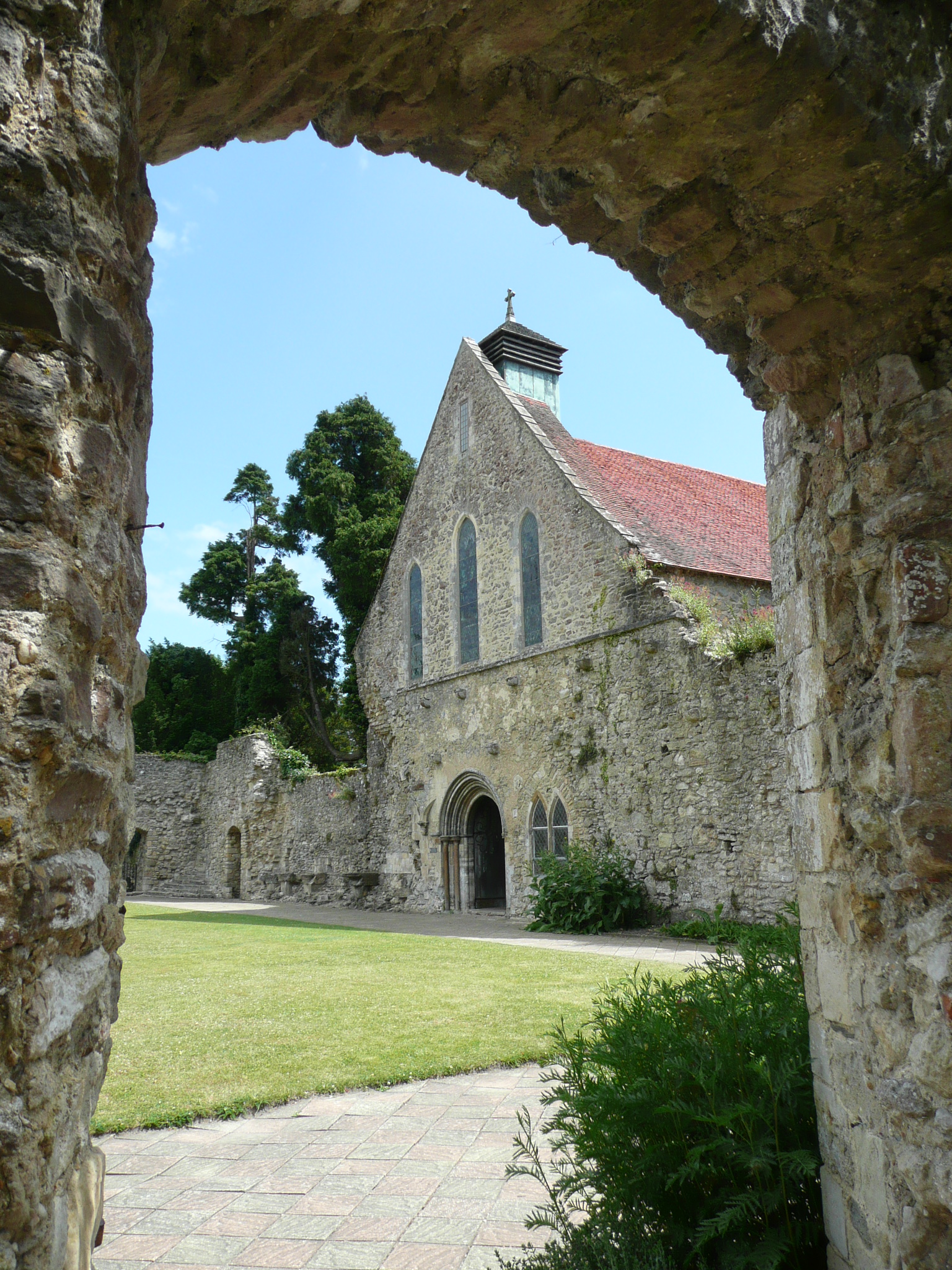
Beaulieu Abbey
Beaulieu Abbey was a Cistercian abbey in Hampshire, England. It was founded in 1203–1204 by King John and (uniquely in Britain) populated by 30 monks sent...
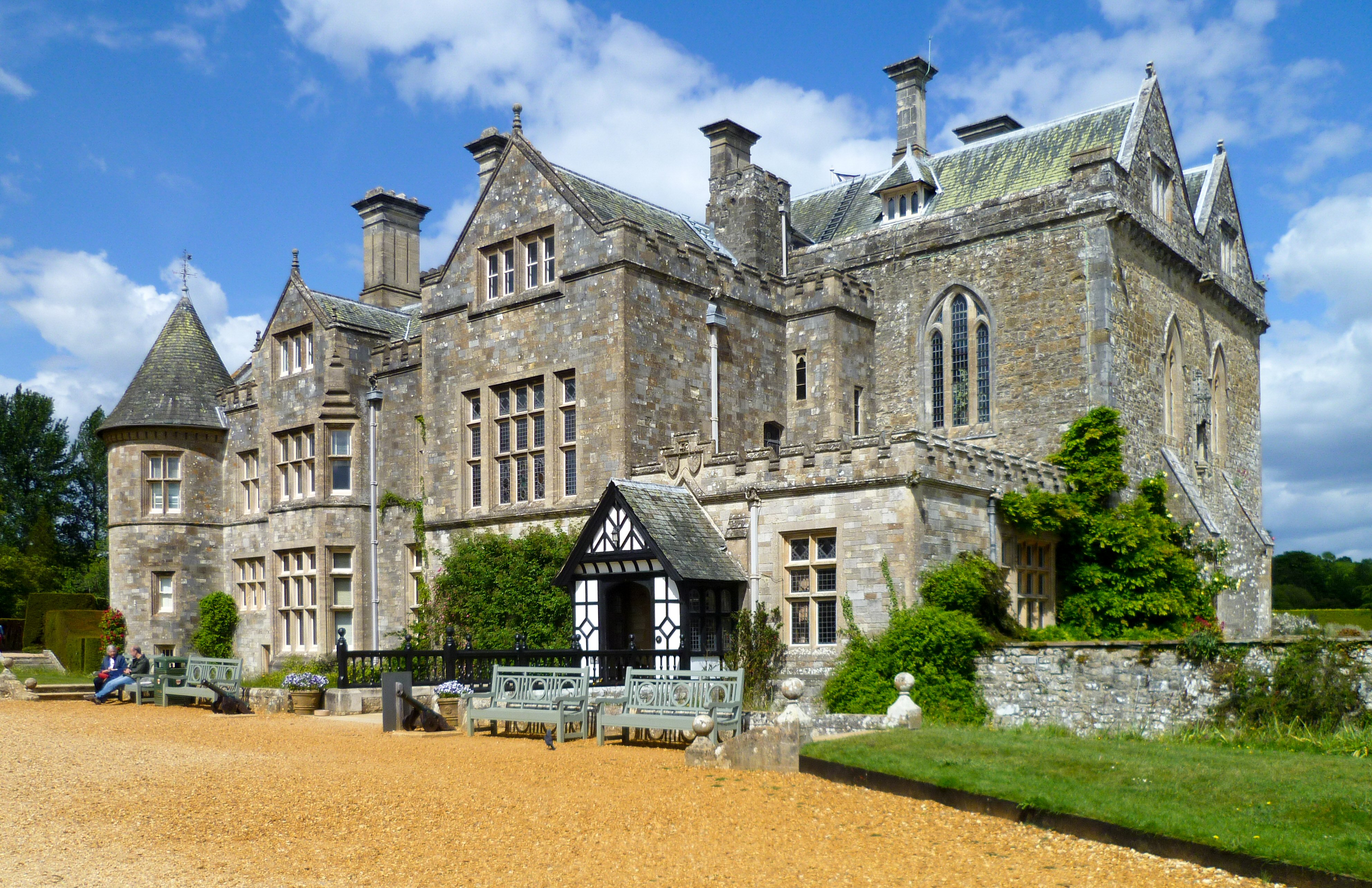
Beaulieu Palace House
Beaulieu Palace House ( BEW-lee) is a 13th-century house in Beaulieu, Hampshire, United Kingdom. Originally part of Beaulieu Abbey, the estate was bought...

Exbury and Lepe
Exbury and Lepe is a civil parish in the New Forest in Hampshire, England. It is bounded to the west by the Beaulieu River, to the south by the shore...
Nearby Amenities
Located within 500m of 50.804292,-1.4223663Have you been to Keeping Marsh?
Leave your review of Keeping Marsh below (or comments, questions and feedback).