Sand of Hayes
Coastal Marsh, Saltings in Shetland
Scotland
Sand of Hayes
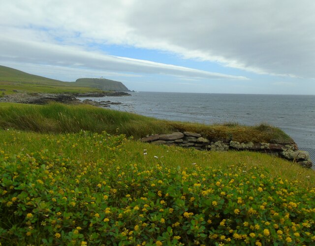
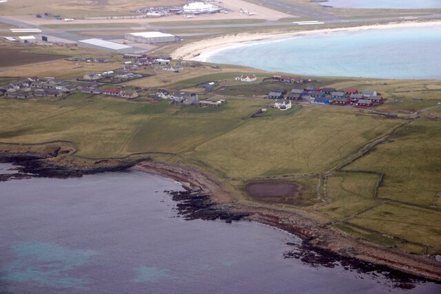
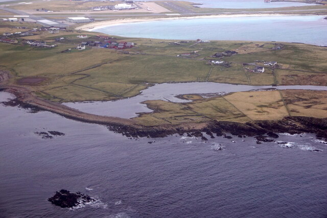
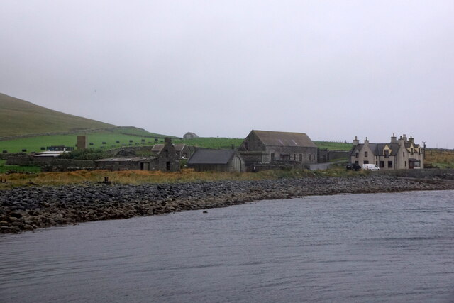
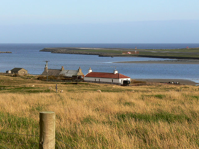
Sand of Hayes is a coastal marsh and saltings area located in the remote region of Hayes, Shetland. Situated on the eastern coast of the Shetland Mainland, this unique landscape is characterized by its vast expanses of sand dunes, salt marshes, and tidal creeks.
Covering an area of approximately 100 hectares, Sand of Hayes is a designated Site of Special Scientific Interest due to its diverse and ecologically important habitats. The site is a haven for a wide array of plant and animal species, including rare and endangered ones.
The sand dunes, which are a prominent feature of Sand of Hayes, are constantly shifting and changing shape due to the strong coastal winds. These dunes support a variety of vegetation such as marram grass, sea rocket, and sea sandwort, which play a crucial role in stabilizing the sand and preventing erosion.
The salt marshes, on the other hand, form a transition zone between the land and sea. They are regularly flooded by the tides and are home to a range of salt-tolerant plants like sea lavender, sea purslane, and glasswort. These marshes are also important feeding and breeding grounds for numerous bird species, including waders and waterfowl.
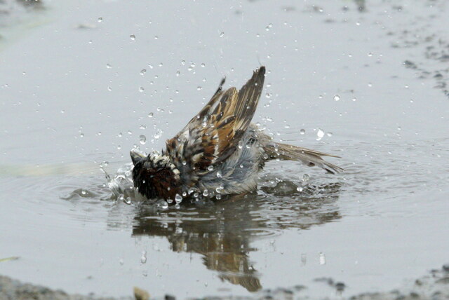
Sand of Hayes provides a vital habitat for various wildlife, including otters, seals, and numerous bird species. It also attracts birdwatchers and nature enthusiasts who come to observe the rich biodiversity of the area. The peaceful and untouched nature of Sand of Hayes makes it an ideal spot for nature lovers seeking tranquility and a chance to connect with the natural world.
If you have any feedback on the listing, please let us know in the comments section below.
Sand of Hayes Images
Images are sourced within 2km of 59.88182/-1.3068664 or Grid Reference HU3810. Thanks to Geograph Open Source API. All images are credited.


Sand of Hayes is located at Grid Ref: HU3810 (Lat: 59.88182, Lng: -1.3068664)
Unitary Authority: Shetland Islands
Police Authority: Highlands and Islands
What 3 Words
///playback.cafe.horns. Near Sumburgh, Shetland Islands
Nearby Locations
Related Wikis

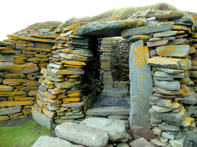
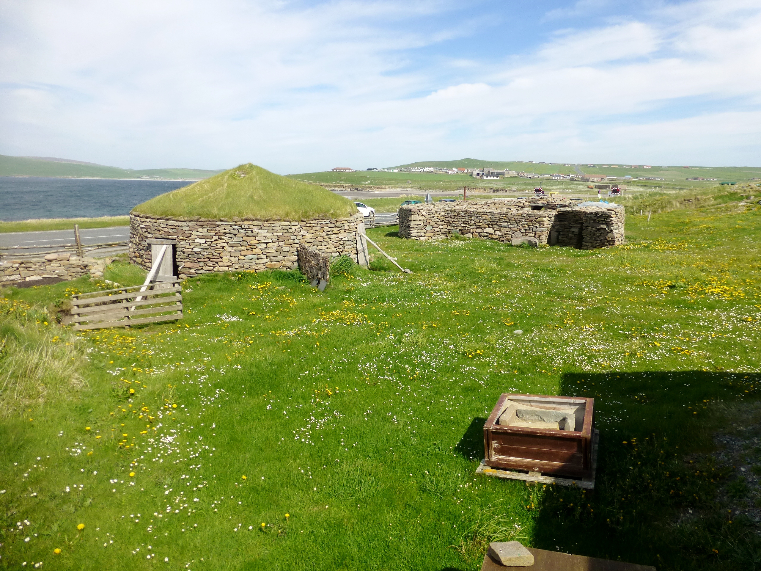
Old Scatness
Old Scatness is an archeological site on Scat Ness, near the village of Scatness, in the parish of Dunrossness in the south end of Mainland, Shetland,...
Virkie
Virkie is the most southerly district of Shetland, other than Fair Isle and is best defined as the area south of the Ward Hill in Dunrossness, also locally...
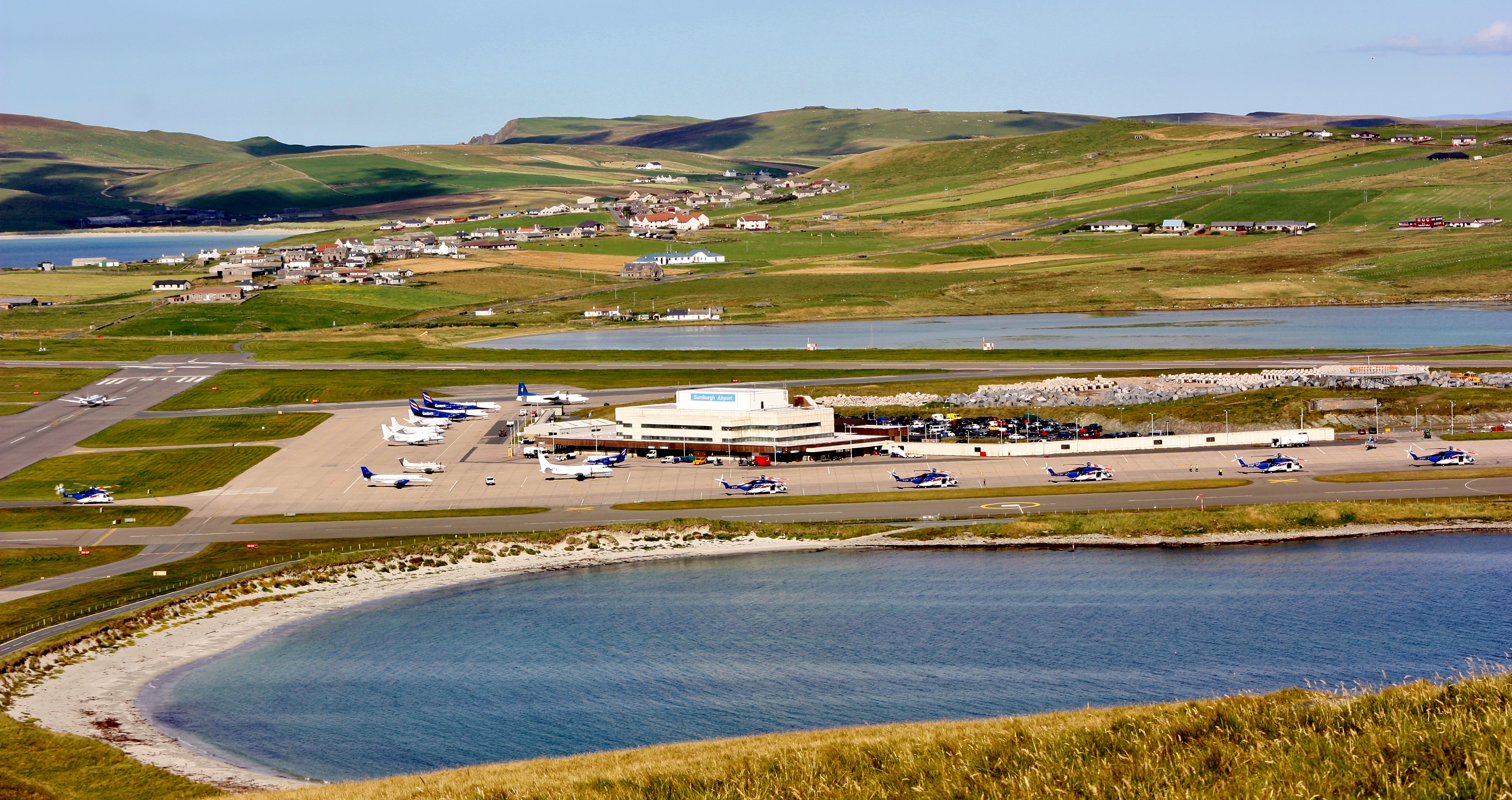
Sumburgh Airport
Sumburgh Airport (IATA: LSI, ICAO: EGPB) is the main airport serving Shetland in Scotland. It is located on the southern tip of the mainland, in the parish...
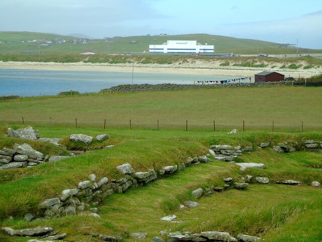
Pool of Virkie
The Pool of Virkie is a tidal lagoon in the parish of Dunrossness, south Mainland, Shetland. == History == The Pool of Virkie, during the late 15th and...

Toab, Shetland
Toab is the southernmost village on Mainland, Shetland, Scotland. It is part of Virkie and overlooks Sumburgh Airport. Toab is within the parish of Dunrossness...
Scatness
Scatness is a settlement on the headland of Scat Ness at the southern tip of Mainland, Shetland, Scotland, across the West Voe of Sumburgh from Sumburgh...

Exnaboe
Exnaboe, locally referred to as 'bö', is a settlement in the Virkie area of the parish of Dunrossness, South Mainland, Shetland, Scotland, overlooking...

Dan-Air Flight 0034
Dan-Air Flight 0034 was a fatal accident involving a Hawker Siddeley HS 748 series 1 turboprop aircraft operated by Dan-Air Services Limited on an oil...
Nearby Amenities
Located within 500m of 59.88182,-1.3068664Have you been to Sand of Hayes?
Leave your review of Sand of Hayes below (or comments, questions and feedback).